Switzerland · Grimsel
Sagittarius
A Grimsel granite classic: low-angle slabs lead to the famous 6a+ crack pitches and a thin 6b traverse, then steeper, sculpted ground. Sustained at 5c/6a throughout.
6b13 pitches400 m
Bügeleisen (Handegg) · Grimsel · Switzerland
Easy to bailBolting confidence: high
A short, varied granite route up a pale, smooth pillar across the valley from the Handegg slabs: a corner crack, then friction and edge slabs that get harder pitch by pitch. Grades are stiff, and the last pitch is sustained and tricky. A good half day or uncertain-weather route with a 15-minute approach.
The route
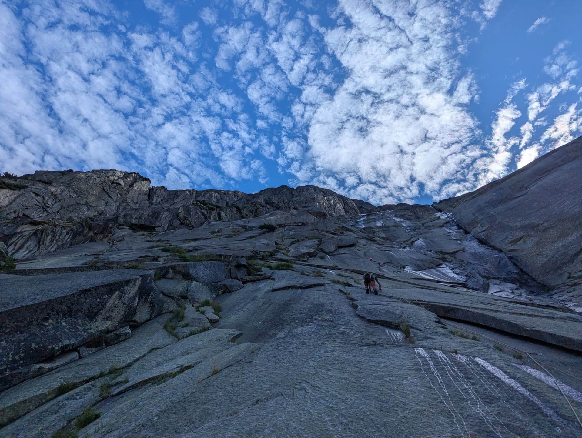
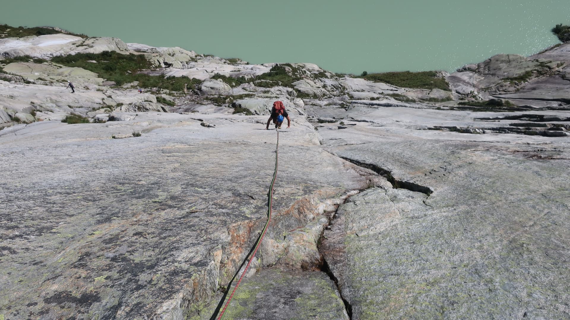
The Bügeleisen ('flat iron') is a pale, very smooth granite pillar on the left bank of the Aare at Handegg, on the Bernese side of the Grimsel Pass. The route of the same name takes its left side in five pitches: an easy start, a corner crack, then three slab pitches on friction and small edges that rise from 5c to 6a. Everyone agrees the grades are harder than on the well-known slabs on the other side of the valley; several parties rate the top two pitches a full grade higher. Since the 2018 rebolt the protection is close, and the crux can be aided. It is short, quick to reach and popular when the forecast is unsettled.
In pictures
The climbing
| Pitch | Grade | Notes |
|---|---|---|
| P1 | 5a | Shared start with Brésil, then go left (Brésil, 6b, goes right). Do not go too far left: a newer, more sparsely bolted line starts higher up on the left and parties have had to retreat from it. The first belay is just below the second step. |
| P2 | 5a | A corner crack. |
| P3 | 5c | Slabs. Felt like 6a to some. |
| P4 | 5c+ | Slabs. Several parties rate this 6a. |
| P5 | 6a | Slab on small edges, sustained, with a few awkward friction moves. Rated 6b or harder by several parties when climbed free; the close bolts allow you to pull through. |
Getting there
On the Grimsel Pass road between Guttannen and Handegg. The parking is about 400 m before the KWO power station (point 1290 on the map) as you come up from Guttannen, between the two long tunnels; camptocamp also describes it as a short unsigned side road about 3.5 km below Handegg. A postbus serves Handegg in season. Lodging is at the Hotel Handegg or in Innertkirchen.
Walk up the track. Where the tarmac ends, take a path that goes left on the level for a few metres and then climbs through the forest, marked by cairns; do not continue along the unsurfaced road. Higher up, leave the scree on your left. The pale, smooth pillar is clearly visible. The correct start is exactly where the path arrives, with a large arrow carved into the rock. 15 minutes.
Loading map
The point marks the crag, not the exact start of the route.
Parking
Handegg (camptocamp access point)
Point from camptocamp waypoint 774219
Contains the route point and parking. Opens in most mapping apps and GPS watches.
Points are compiled from published sources, with the precision stated above. They were not surveyed on the ground: check them against a current topo.
Coordinates: 46.62138, 8.30146 (crag) · Parking: 46.61191, 8.30765
Getting down
Abseil the route. A 2016 party took one hour from the top belay to the ground.
Retreat
Easy to bail
Abseiling the route is the normal descent, so retreat from any belay is the same as going down from the top. The route is only five pitches long.
Safety
Sun and weather
The pillar faces south and east at about 1440 to 1640 m, lower than the main Grimsel slabs, so it comes into condition earlier: parties have climbed it in May while the pass road was still closed higher up. It is too hot for friction climbing on a sunny summer day; one party recommends a maximum of about 20 °C. After rain the rock stays damp for a while.
Sun on the wall · SE-facing
Working out the sunlit hours for this month.
Sun on the wallDaylight, wall in shade● Usual season
Estimated from the wall's aspect only. Ignores surrounding terrain, gullies and the wall's exact shape. Clock times are local to the wall (Central European time), for the 15th of each month.
| Measure | Jan | Feb | Mar | Apr | May (usual season) | Jun (usual season) | Jul (usual season) | Aug (usual season) | Sep (usual season) | Oct (usual season) | Nov | Dec |
|---|---|---|---|---|---|---|---|---|---|---|---|---|
| Mean daily high °C | −3 | −1 | 2 | 5 | 9 | 14 | 17 | 17 | 13 | 8 | 2 | −2 |
| Mean daily low °C | −8 | −8 | −5 | −2 | 2 | 6 | 8 | 9 | 5 | 1 | −4 | −8 |
| Rain days 1 mm or more | 14 | 12 | 15 | 15 | 18 | 19 | 20 | 18 | 15 | 14 | 15 | 15 |
● marks the usual climbing season. Averages for 1991-2020 at about 1777 m. Area climate from Open-Meteo reanalysis. Temperatures are adjusted to the height of the crag; rain comes from a grid cell of about 10 to 25 km, and summer highs on sea cliffs can read a few degrees low. The wall and valley can differ. Data: Open-Meteo, CC BY 4.0.
What to carry
14 quickdraws, plus ropes for the abseil descent (camptocamp does not say what length or how many). Helmet. No cams needed since the 2018 rebolt.
Derived from the route data; check it against a current topo
From climbers
Reader reports are not being collected yet. Until they are, check a current topo and the local club or guidebook publisher for recent changes to Bügeleisen.
Worth knowing
Open questions
Provenance
Same area
Switzerland · Grimsel
A Grimsel granite classic: low-angle slabs lead to the famous 6a+ crack pitches and a thin 6b traverse, then steeper, sculpted ground. Sustained at 5c/6a throughout.
6b13 pitches400 m
Switzerland · Grimsel
Glacier-polished slabs straight above the Räterichsboden dam. Four warm-up pitches lead to sustained 5b–5c slab and a short fissured roof (6a or A0).
6a11 pitches220 m
Read the cautions
Switzerland · Grimsel
Seven pitches of smooth, low-angle Grimsel granite, almost all pure friction, with two short steeper steps. Technically easy, but you have to trust your feet. A gentle introduction to Grimsel slab and to multipitch rope work.
4c7 pitches200 m
Switzerland · Grimsel
Fourteen pitches up the Gelmerfluh next to Sagittarius, and by several accounts the better route: a knife-cut flake, a finger-to-hand crack worthy of Chamonix, corners, a pendulum and Grimsel slab, then easier quartz-veined walls to the top. Mostly 5c to 6a, with two short slab cruxes that almost everyone aids.
6c+14 pitches400 m
Around 6a · about 5 pitches
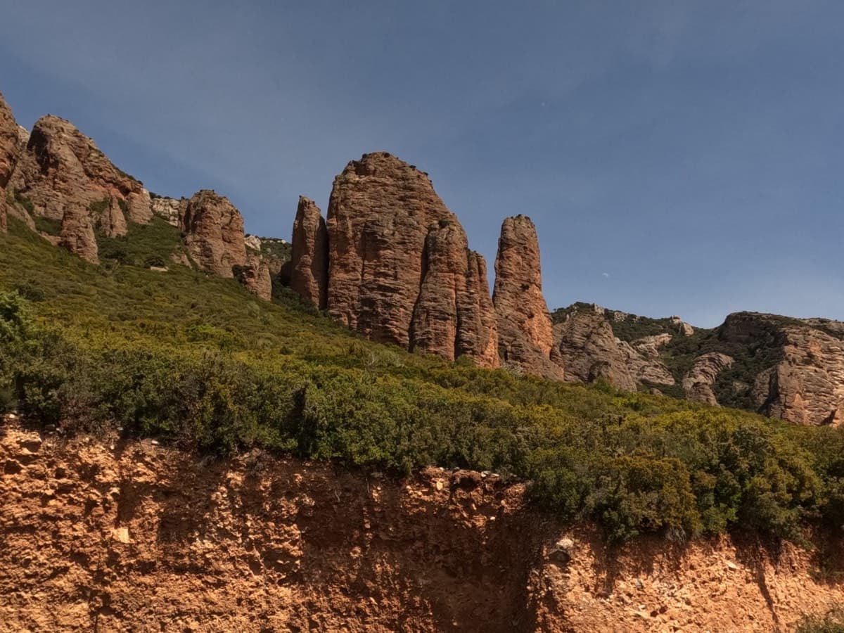
Spain · Riglos & Agüero (Mallos)
An arm-pumping 6a to start and a superb 6a to finish, with easier ground between. Skip the bolt-and-thread stance under the overhang on pitch 4 and belay 5 m higher.
6a5 pitches125 m
Read the cautions
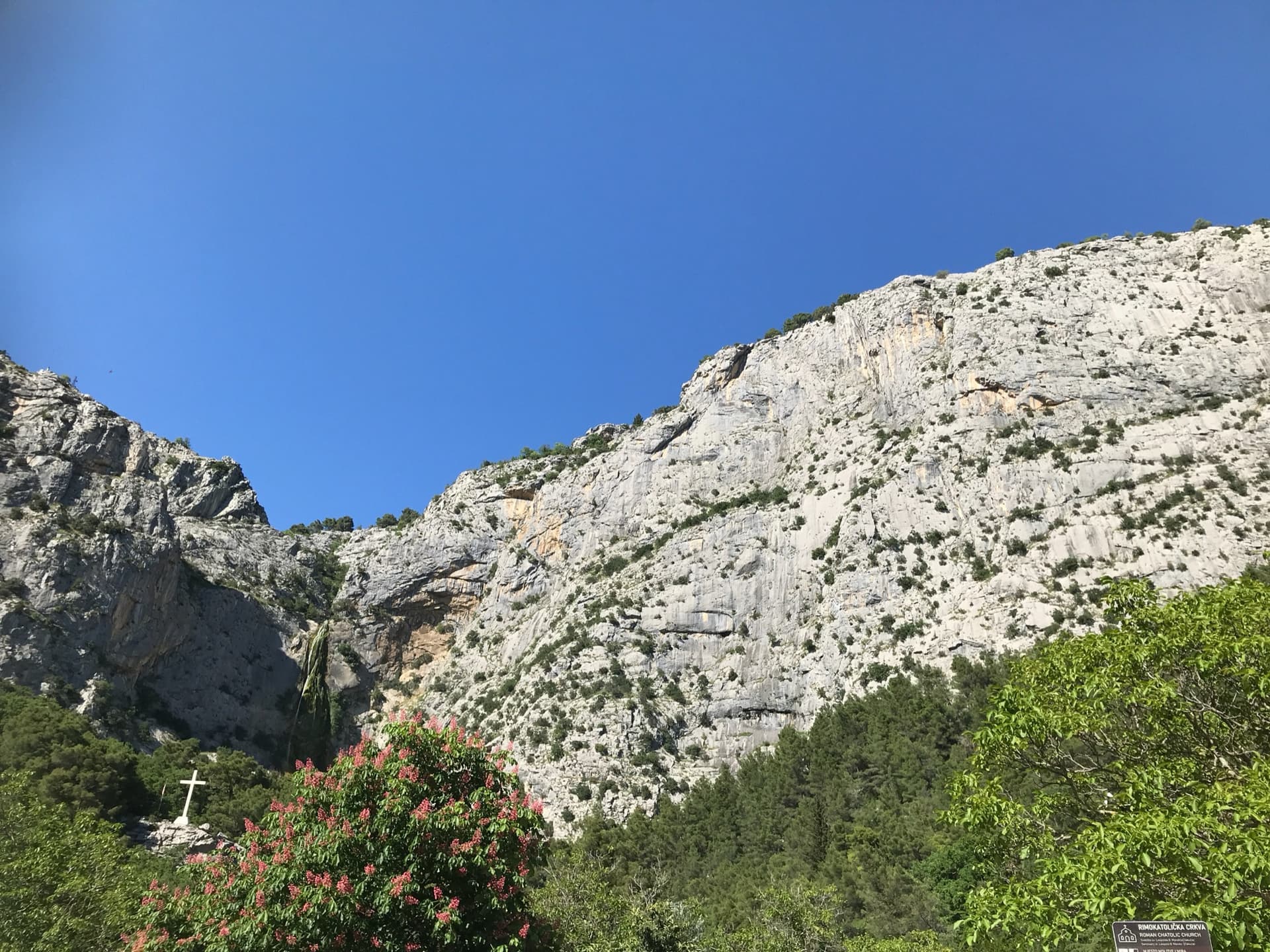
Croatia · Omiš
Omiš's signature moderate: long, slabby pitches on knobbly grey limestone with big views over the Cetina mouth and the Adriatic. The crux is a short crack on the final pitch.
6a6 pitches230 m
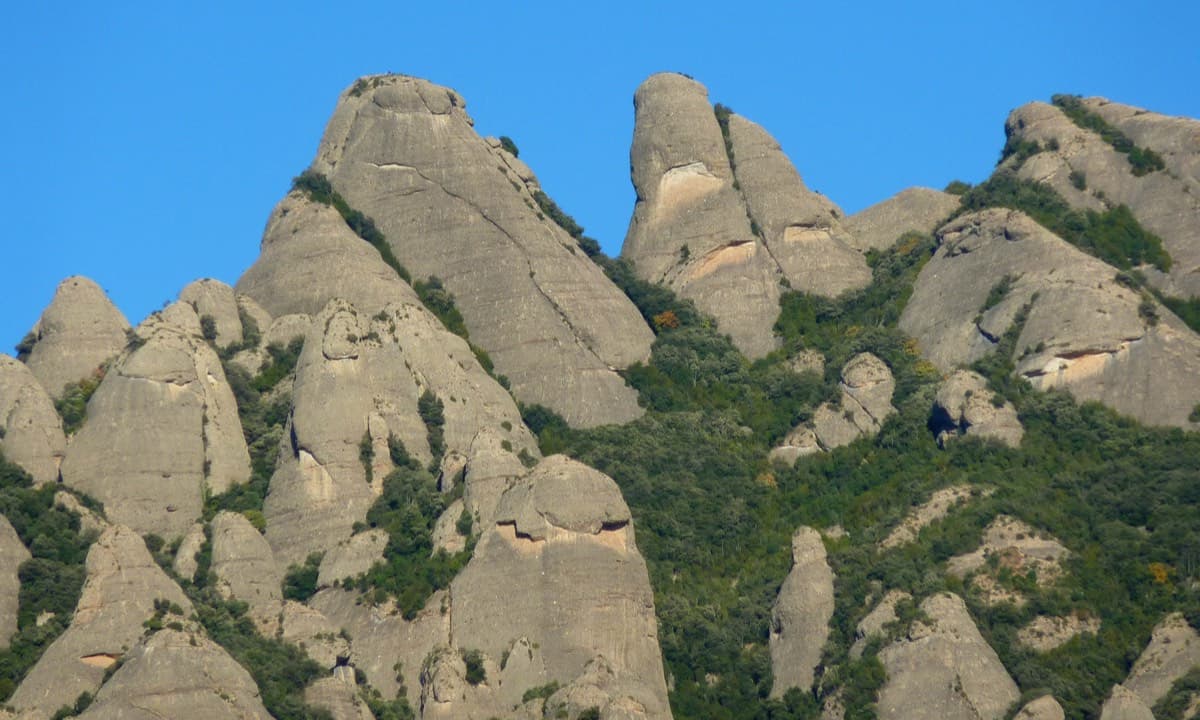
Spain · Montserrat
An exposed, airy line with unusually good holes and jugs for Montserrat, shaded in the afternoon. The 6a pitch is a sustained vertical 20 m. Going straight up instead of following the line is closer to 6b+.
6a4 pitches140 m
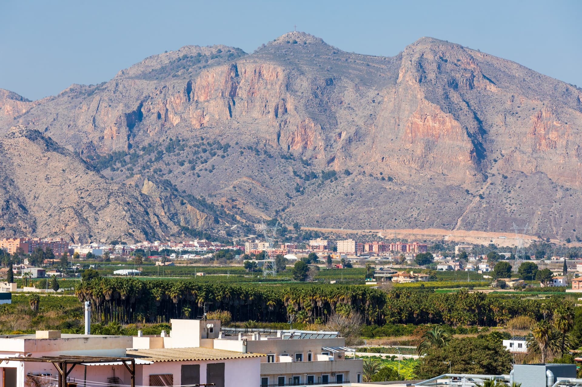
Spain · Vega Baja (Orihuela & Callosa)
A popular modern four-pitch classic on Pared Negra's compact grey limestone, around UIAA 6/6+ (about French 6a). Best on cool, sunny winter days.
6a4 pitches150 m
Compiled from published sources and last verified October 2026. Bolts, anchors and access change. Climbing is dangerous and you are responsible for your own decisions: check a current topo and read the disclaimer.