Switzerland · Grimsel
Grimselstrom
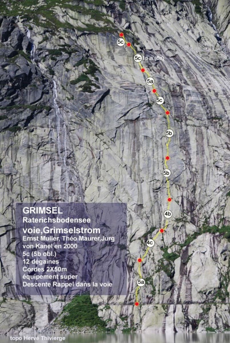
Glacier-polished slabs straight above the Räterichsboden dam. Four warm-up pitches lead to sustained 5b–5c slab and a short fissured roof (6a or A0).
6a11 pitches220 m
Read the cautions
Gelmerfluh · Grimsel · Switzerland
Easy to bailBolting confidence: high
A Grimsel granite classic: low-angle slabs lead to the famous 6a+ crack pitches and a thin 6b traverse, then steeper, sculpted ground. Sustained at 5c/6a throughout.
The route
Sagittarius takes the west face of the Gelmerfluh above the Grimsel pass road in 13 pitches and roughly 400 m. The lower two thirds are compact, low-angle granite slabs split by cracks, including two 6a+ crack pitches and a short, thin 6b traverse; the last four or five pitches are steeper but on more featured and less solid rock. It is sustained at 5c/6a, generously bolted in the 'plaisir' style, and no cams are needed. It is also very popular, and you abseil the route, so expect company.
The climbing
| Pitch | Grade | Notes |
|---|---|---|
| P1 | 5a | A few slab moves, not sustained. |
| P2 | 5c+ | Small corner/crack, then slab. Can be linked with pitch 1 using 50 m ropes. Some find it hard for the grade. |
| P3 | 6a | Short step, then a very smooth slab. Belay on top of a small spur. |
| P4 | 5c+ | Step down off the spur to reach the main slab with a wide bridging move (well protected, slightly dynamic), then a series of cracks. |
| P5 | 5c+ | More slab. |
| P6 | 6a+ | A crack on the left flank of a spur, then a short thin slab below the belay. |
| P7 | 6a+ | The famous crack pitch. Gulliver gives it about 30 m, with a short traverse right and a vertical exit. |
| P8 | 6b | Short but sustained: thin traverse left, a small mantel, then a very thin slab move. Gulliver says the 6b move is easy to aid past; obligatory grade is 6a. |
| P9 | 6a | Long, sustained slab. |
| P10 | 5c | The wall steepens but the rock becomes more featured and less compact. Gulliver gives 6a and notes more fragile rock. |
| P11 | 5c | Gulliver gives 5c+. A 2024 report warns of a couple of vertical flakes that will come off. |
| P12 | 5c | Gulliver gives 6a. |
| P13 | 5b | Easier climbing to the exit ledge. |
Getting there
Park at Chüenzentennlen (1596 m) on the Grimsel pass road between Handegg and the pass: coming down from the pass it is just after the hairpins below the Räterichsbodensee dam and before the tunnel. Innertkirchen and Guttannen are the nearest villages. There is a seasonal postbus stop at the parking. The pass road is open roughly late May to autumn.
20-25 min. Take the obvious path from the parking. When it starts to run along the foot of the wall, take the big ledge leading left and follow it to its very end; the ledge rises slightly, unlike the horizontal ledge shown in some topo photos. You pass an abseil anchor (useful on the way down); continue up about 10 m to the start, where the name is written in red and the first bolts are just left of a small stream. One party who missed the ledge took almost an hour.
Loading map
The point marks the crag, not the exact start of the route.
Parking
Chüenzentennlen (camptocamp access point)
Point from camptocamp waypoint 231311
Contains the route point and parking. Opens in most mapping apps and GPS watches.
Points are compiled from published sources, with the precision stated above. They were not surveyed on the ground: check them against a current topo.
Coordinates: 46.59879, 8.33327 (crag) · Parking: 46.59839, 8.32478
Getting down
Abseil the route. R7, R4 and R1 can be skipped. From the start of the route you can either walk back along the approach ledge (described as rather exposed) or make two more abseils to avoid it: the first anchor is easy to find next to the start of the route; the second is slightly hidden, to the right (looking down) on a large obvious ledge reached by descending a full 55 m in the line of the first abseil. Camptocamp is explicit that 50 m ropes do not reach on that abseil. The last abseil is about 30 m. These two abseils also pass any snow patch at the base. A party descending from R10 took 1 h 30 min.
Retreat
Easy to bail
Yes. Abseiling the route is the normal descent, on bolted belays, and you can turn round at any belay. One party descended from R10 in 1 h 30 min, and R10 is suggested as a natural place to stop if short of time.
Safety
Sun and weather
West facing, base at about 1750 m. The sun reaches the wall around midday, so an early start means climbing the slabs in the shade. Season is roughly June to September, with reports into late September. It dries overnight after rain, but in fog and damp the obligatory friction moves are unpleasant. Very busy: five parties in a day is normal on a good weekend.
Sun on the wall · W-facing
Working out the sunlit hours for this month.
Sun on the wallDaylight, wall in shade● Usual season
Estimated from the wall's aspect only. Ignores surrounding terrain, gullies and the wall's exact shape. Clock times are local to the wall (Central European time), for the 15th of each month.
| Measure | Jan | Feb | Mar | Apr | May | Jun (usual season) | Jul (usual season) | Aug (usual season) | Sep (usual season) | Oct | Nov | Dec |
|---|---|---|---|---|---|---|---|---|---|---|---|---|
| Mean daily high °C | −3 | −1 | 2 | 5 | 9 | 14 | 17 | 17 | 13 | 8 | 2 | −2 |
| Mean daily low °C | −8 | −8 | −5 | −2 | 2 | 6 | 8 | 9 | 5 | 1 | −4 | −8 |
| Rain days 1 mm or more | 14 | 12 | 15 | 15 | 18 | 19 | 20 | 18 | 15 | 14 | 15 | 15 |
| Sunshine hours a day | 6.4 | 7.5 | 9.0 | 10.3 | 10.8 | 11.5 | 12.0 | 10.7 | 9.3 | 8.0 | 6.3 | 5.7 |
● marks the usual climbing season. Averages for 1991-2020 at about 1777 m. Area climate from Open-Meteo reanalysis (about 10 km grid): the wall and valley can differ. Data: Open-Meteo, CC BY 4.0.
What to carry
Two ropes: 2×50 m works for the route, 2×60 m is recommended by Gulliver, lets you skip some anchors, and is needed for the 55 m abseil that avoids the ledge. 12-14 quickdraws. Helmet. Cams and nuts are not needed. A few thin dyneema slings or cord in case bolt hangers are bent (see hazards). Crampons and an axe can be useful early in the season for snow at the base.
Derived from the route data; check it against a current topo
From climbers
Reader reports are not being collected yet. Until they are, check a current topo and the local club or guidebook publisher for recent changes to Sagittarius.
Worth knowing
Open questions
Provenance
Same area
Switzerland · Grimsel
Glacier-polished slabs straight above the Räterichsboden dam. Four warm-up pitches lead to sustained 5b–5c slab and a short fissured roof (6a or A0).
6a11 pitches220 m
Read the cautions
Switzerland · Grimsel
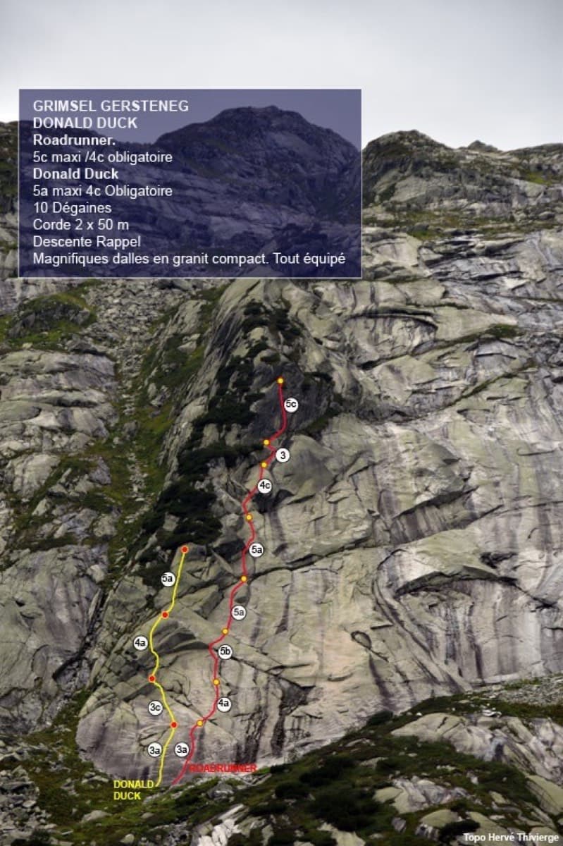
Seven pitches of smooth, low-angle Grimsel granite, almost all pure friction, with two short steeper steps. Technically easy, but you have to trust your feet. A gentle introduction to Grimsel slab and to multipitch rope work.
4c7 pitches200 m
Switzerland · Grimsel
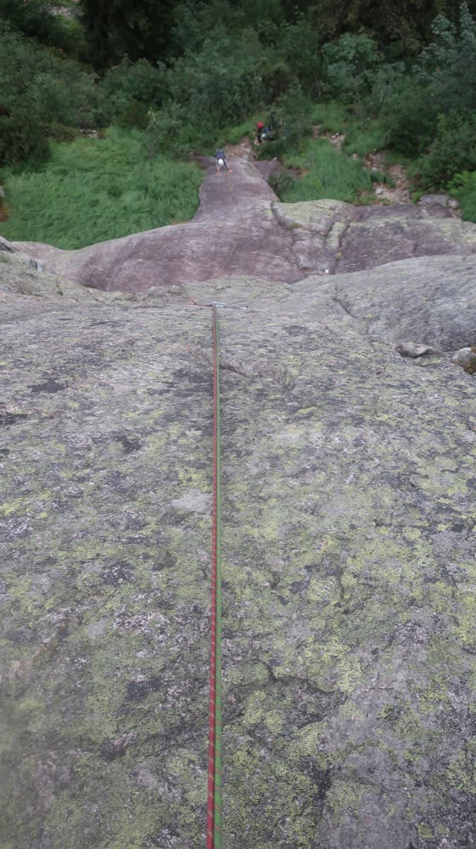
A short, varied granite route up a pale, smooth pillar across the valley from the Handegg slabs: a corner crack, then friction and edge slabs that get harder pitch by pitch. Grades are stiff, and the last pitch is sustained and tricky. A good half day or uncertain-weather route with a 15-minute approach.
6a5 pitches200 m
Switzerland · Grimsel
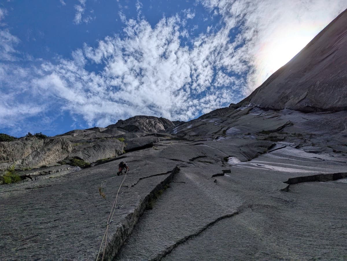
Fourteen pitches up the Gelmerfluh next to Sagittarius, and by several accounts the better route: a knife-cut flake, a finger-to-hand crack worthy of Chamonix, corners, a pendulum and Grimsel slab, then easier quartz-veined walls to the top. Mostly 5c to 6a, with two short slab cruxes that almost everyone aids.
6c+14 pitches400 m
Around 6b · about 13 pitches
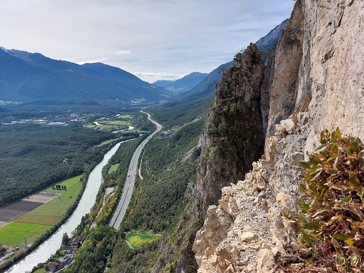
Austria · Inntal (Haiming Geierwand)
Billed as probably the best mid-grade multipitch at the Geierwand (UIAA 6/6+, 5 obligatory). It starts with steep, juggy climbing, and the upper pitches are rough pocketed slabs. It can be combined with Alhambra's upper pitches.
6a+12 pitches345 m
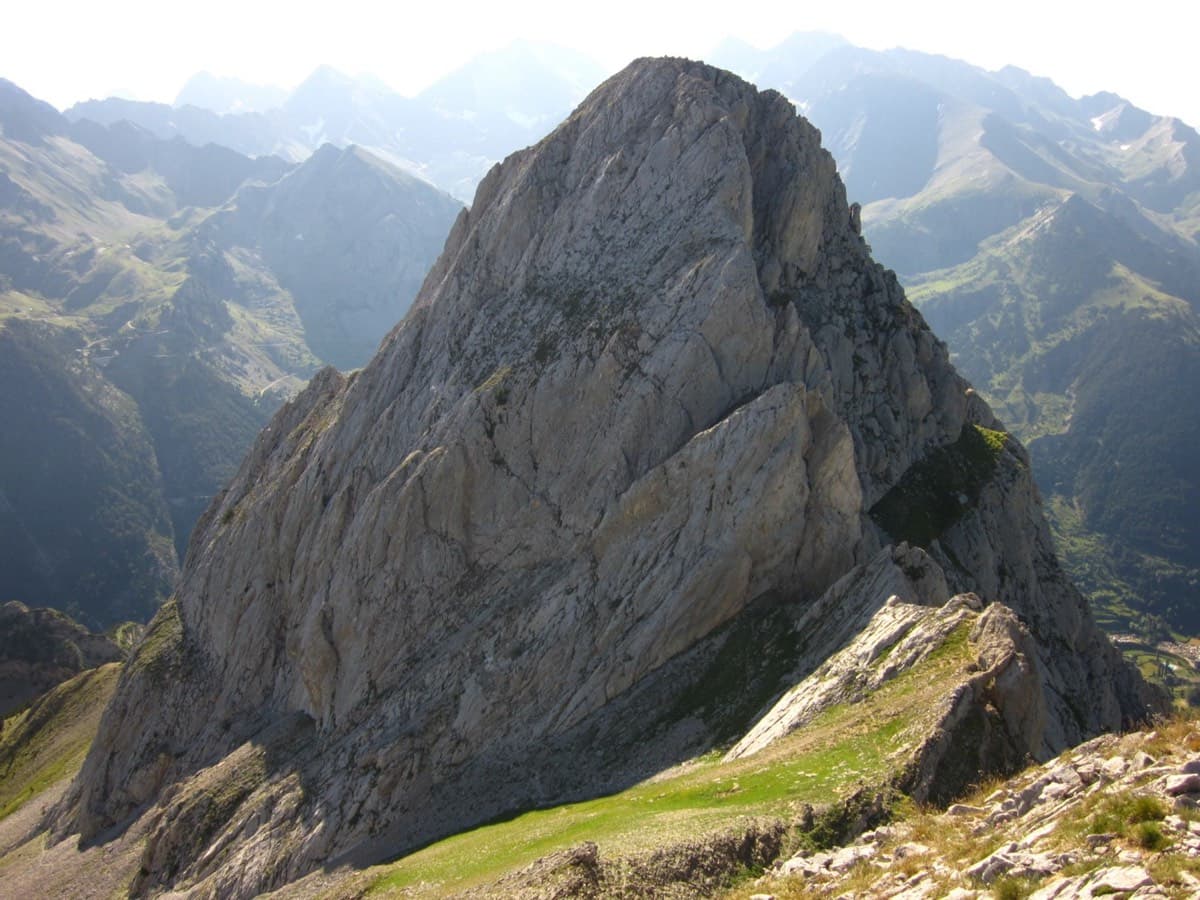
Spain · Aragonese Pyrenees (Tena & Canfranc valleys)
A big, fully bolted mountain route straight up the middle of a wall of the Peña Foratata to its summit. Three technical corner pitches at 6b+ low down and a 6b and a 6a above the grass terrace, separated by easy transition pitches. Short pitches by design, a long descent, and a seasonal closure for bearded vultures until the end of July.
6b+14 pitches420 m
Read the cautions
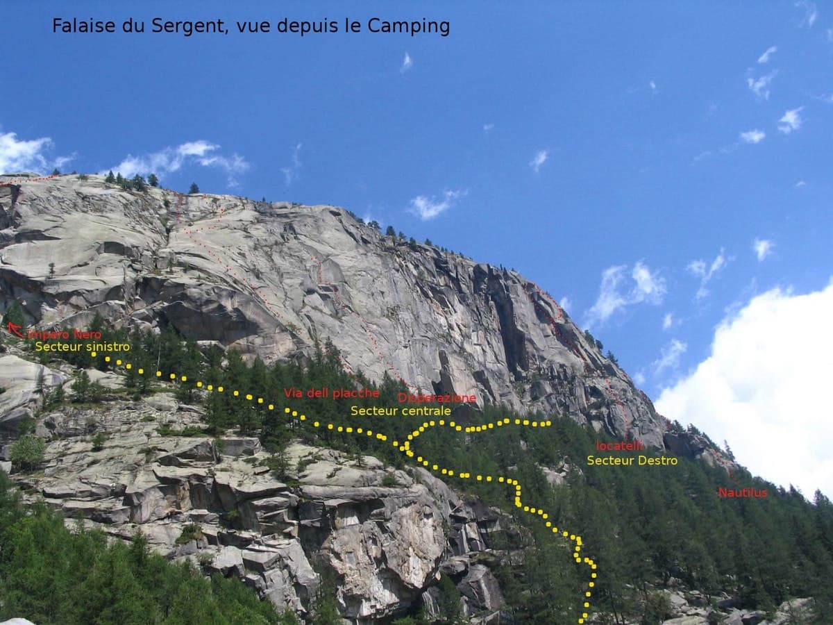
Italy · Valle dell'Orco
A rare fully bolted slab line on the Sergent, the home of Orco trad. It's mostly easy-angled granite slabs with a vertical corner on P3 and an overhanging start to the final 6a+ pitch (5c obligatory, A0 possible).
6a+12 pitches350 m
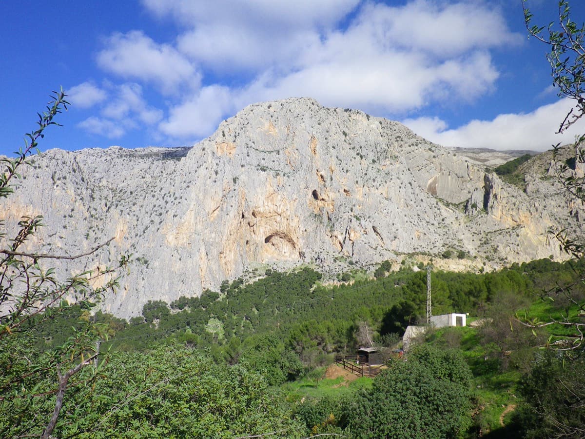
Spain · El Chorro
Ten varied pitches on good rock in a superb position: a roof, slabs, a tenuous traverse by a cave and a steep corner. Several pitches feel stiff for the grade, especially the P2 crux.
6b10 pitches279 m
Compiled from published sources and last verified October 2026. Bolts, anchors and access change. Climbing is dangerous and you are responsible for your own decisions: check a current topo and read the disclaimer.