Multipitch Atlas

Via per Giorgio

Sergent – left-hand slabs · Valle dell'Orco · Italy

Easy to bailBolting confidence: high

A rare fully bolted slab line on the Sergent, the home of Orco trad. It's mostly easy-angled granite slabs with a vertical corner on P3 and an overhanging start to the final 6a+ pitch (5c obligatory, A0 possible).

The Sergent seen from the campsite, with sector names and a few lines marked (left-hand sector at left)Photo: Yann.G · CC BY-SA 3.0

Photo

The Sergent seen from the campsite, with sector names and a few lines marked (left-hand sector at left)Photo: Yann.G · CC BY-SA 3.0
Hardest pitch
6a+
Pitches
12
Length
350 m
Approach
20 min
Aspect
S
South-facing
Rope
2×60 m

The route

Overview

A fully bolted plaisir route up the sea of slabs on the left side of the Sergent, opened in 2020 so that climbers below 6a could enjoy a long route on this famous trad cliff. Twelve pitches of up to 30 to 35 m, about 350 m of climbing, are almost all friction slab at 4a to 5c on perfect granite. The exception is pitch 3, a steep little corner and traverse at about 6a that is bolted closely enough to aid, plus an overhanging start to the last pitch. Bolting is abundant throughout; the upper tier is easier and more repetitive, and many parties stop after pitch 7 or 8.

The climbing

Pitch by pitch

Pitches of Via per Giorgio
PitchGradeLengthNotes
P15a30 mOver the bulge, then slab. Belay on two bolts with cord and maillon.
P24c30 mEasy slab with a couple of 5a steps. Chained belay.
P36a30 mThe key pitch and unlike the rest: a short vertical corner (6a, closely bolted, a couple of moves), a delicate traverse left (5c), then a steep ramp on good holds (5b). Extend the runners on the traverses. Several parties call it hard 5c; the whole pitch can be aided. Belay on two bolts which you link yourself.
P44a25 mEasy slab with a 5a step. Chained belay.
P55c30 mSlab, easy at first and then delicate, needing a couple of committed friction moves. Belay on two bolts with cord and maillon (the cord's sheath was reported damaged in May 2026).
P64b30 mSlab trending right. Chained belay.
P74b25 mSlab (4a on Vielunghe). End of the first tier. Belay on two bolts with cord and maillon.
P84b–Grassy slab trending right. Start of the second tier.
P95b–Short wall with a quartz vein (5a on Vielunghe).
P105a–Slab, trending right.
P115a–Slab.
P126a+–Overhanging start, then vertical climbing towards a corner and a delicate little slab to finish. 6a+ with 5c obligatory on camptocamp (A0 possible); 6a on Vielunghe.

Getting there

Approach

To the parking

Valle dell'Orco, Ceresole Reale (Turin). From the Turin–Aosta motorway leave at Ivrea, go via Cuorgnè and up the valley. Pass Noasca; on leaving the tunnel towards Ceresole turn left, pass the Kosterlitz boulder and park in front of the Camping La Peschera (also signed 'laghetti'), at about 1,600 m. A slab of stone at the car park shows the local sectors.

On foot · about 20 min

15 to 20 minutes. From the car park in front of the campsite take the dirt track that climbs to the left for a short way. Look for a wooden telephone pole with a faded red dot; the path into the larches starts on the right no more than about 20 m beyond it (descriptions that say about 100 m are wrong, according to a 2026 report). Follow cairns and red dots to a fixed rope of about 10 m. Above it traverse and take the track up left (right leads to Yoghi) towards the plaque of Ricordando Bangalore. Via per Giorgio starts slightly lower and to the right of that plaque, on the right of the gully: two close bolts below a small bulge.

Finding the route · 1 photo

Approach photo

Map of the walk-in

  • Crag

Loading map

The point marks the crag, not the exact start of the route.

Coordinates · crag

45.44274, 7.27090

Point from camptocamp waypoint 234844

For your phone or watch

Download GPX

Contains the route point. Opens in most mapping apps and GPS watches.

Points are compiled from published sources, with the precision stated above. They were not surveyed on the ground: check them against a current topo.

Getting down

Descent

Abseil the route. You can abseil from every belay with a single long rope, or with 2×60 m ropes go from chained belay to chained belay roughly every 60 m. These are full-length abseils: S8 to S6 is reported as 57 m, and S6 to S4 and S4 to S2 left less than a metre of rope spare with 60 m ropes, so tie knots in the ends and do not try it with ropes that have shrunk or have little stretch. Abseils run clean. Parties report about 4 hours for the round trip up and down.

Retreat

Bailing off the route

Easy to bail

Yes. Abseiling the route is the normal descent and you can abseil from every belay. The abseils run clean, and stopping at S7 or S8 is common. Check the belays as you go. Some are two bolts joined by cord and a maillon, one cord had a damaged sheath in 2026, and S3 was two unlinked bolts.

Retreat from
Any belay with a single long rope. With 2×60 m ropes you go from chained belay to chained belay, about every 60 m (S8, S6, S4, S2).
Carry
2×60 m ropes or a single 80 m. The 60 m abseils leave less than a metre spare, so knot the ends. Spare cord and a maillon for the cord belays and for S3.
Basis
Stated in the sourcesCamptocamp and Vielunghe trip reports state the abseil descent, the abseil lengths and the condition of the belays.

Safety

Hazards

  • Abseil lengths with 60 m ropes are at the limit (57 m and more, less than 1 m spare on some). Knot the ends.
  • Belays alternate between chains and two bolts joined by cord with a maillon; S3 was two unlinked bolts in July 2026 and the S5 cord had a damaged sheath in May 2026. Inspect cords and back up if in doubt.
  • Some hangers had loose nuts in 2021; carry a spanner.
  • Vielunghe (the first ascensionist's site) still lists the second tier, pitches 8 to 12, as incompletely described with provisional grades.
  • An adder was seen sunbathing at belay 1 in August 2021.
  • Although the 6a moves can be aided, parties stress you need a solid 5c to climb the route safely.

Sun and weather

Conditions

South facing between about 1,700 and 1,950 m. Camptocamp gives May to October for the Sergent. It gets very hot on the slabs in summer: July parties started at 08:00 or stopped early because of the heat. Dries quickly and is reported clean.

Usual season · Apr to Jun, Sep to Oct

Sun on the wall · S-facing

Working out the sunlit hours for this month.

  • January: not yet worked out
  • February: not yet worked out
  • March: not yet worked out
  • April (usual season): not yet worked out
  • May (usual season): not yet worked out
  • June (usual season): not yet worked out
  • July: not yet worked out
  • August: not yet worked out
  • September (usual season): not yet worked out
  • October (usual season): not yet worked out
  • November: not yet worked out
  • December: not yet worked out

Sun on the wallDaylight, wall in shade● Usual season

Estimated from the wall's aspect only. Ignores surrounding terrain, gullies and the wall's exact shape. Clock times are local to the wall (Central European time), for the 15th of each month.

Monthly climate averages for Valle dell'Orco, 1991-2020
MeasureJanFebMarApr (usual season)May (usual season)Jun (usual season)JulAugSep (usual season)Oct (usual season)NovDec
Mean daily high °C−2−125101517171382−1
Mean daily low °C−9−9−6−2279961−5−9
Rain days 1 mm or more111011141719181715131311

● marks the usual climbing season. Averages for 1991-2020 at about 1799 m. Area climate from Open-Meteo reanalysis. Temperatures are adjusted to the height of the crag; rain comes from a grid cell of about 10 to 25 km, and summer highs on sea cliffs can read a few degrees low. The wall and valley can differ. Data: Open-Meteo, CC BY 4.0.

What to carry

Gear

2×60 m ropes (or a single 80 m, linking pitches on the way up and abseiling every station). 14 quickdraws. A spanner: loose nuts on some hangers were reported in 2021. A spare length of cord for the cord-and-maillon belays is sensible. No cams needed. Helmet.

Checklist

Quickdraws
14
Rope
2×60 m
Helmet
One each
Abseil device and prusik
The descent or the retreat involves abseiling
Maillons or spare karabiners
To leave behind if you retreat
Cord
Mentioned for retreat

Derived from the route data; check it against a current topo

From climbers

Reader reports

Reader reports are not being collected yet. Until they are, check a current topo and the local club or guidebook publisher for recent changes to Via per Giorgio.

Worth knowing

Tips

  • Parties have linked pitches 4+5, 6+7 and 9+10.
  • The route loses interest after pitches 5 to 7; stopping at the top of the first tier (S7) or at S8 is common and still gives a good outing.
  • Climbers who have done both rate it above the neighbouring Yoghi, which has grassy transfers.
  • Camping La Peschera is at the car park.

Open questions

Where sources disagree

  • Maximum grade: 6a+ on camptocamp (last pitch) but 6a on Vielunghe and Gulliver. Camptocamp's per-pitch grades are kept, as it is the only full pitch list.
  • Gulliver describes only the first tier (200 m, about 6 to 7 pitches); camptocamp and Vielunghe describe 12 pitches and 350 m.
  • Pitch 3 grade: 6a in all topos, but 2026 parties call it hard 5c or 6a 'generous'.
  • Pitch 7: 4b (camptocamp) or 4a (Vielunghe). Pitch 9: 5b (camptocamp) or 5a (Vielunghe).
  • Obligatory grade: camptocamp's data field says 5b but its text, Vielunghe and Gulliver say 5c.
  • Approach: 15 min (Gulliver) or about 20 min (Vielunghe, camptocamp crag page).
  • Pitch lengths for 1 to 7 are from Vielunghe; none are published for 8 to 12 beyond 'no more than 30–35 m'.

Provenance

Sources

Around 6a+ · about 12 pitches

Similar elsewhere

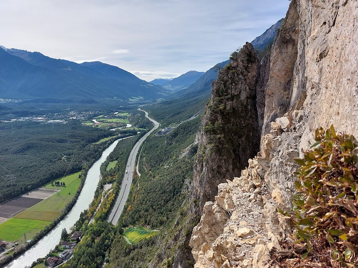
View west along the Inn valley from the top of the Geierwand near Haiming, with part of the wall on the right

Austria · Inntal (Haiming Geierwand)

Sunset Boulevard

Billed as probably the best mid-grade multipitch at the Geierwand (UIAA 6/6+, 5 obligatory). It starts with steep, juggy climbing, and the upper pitches are rough pocketed slabs. It can be combined with Alhambra's upper pitches.

6a+12 pitches345 m
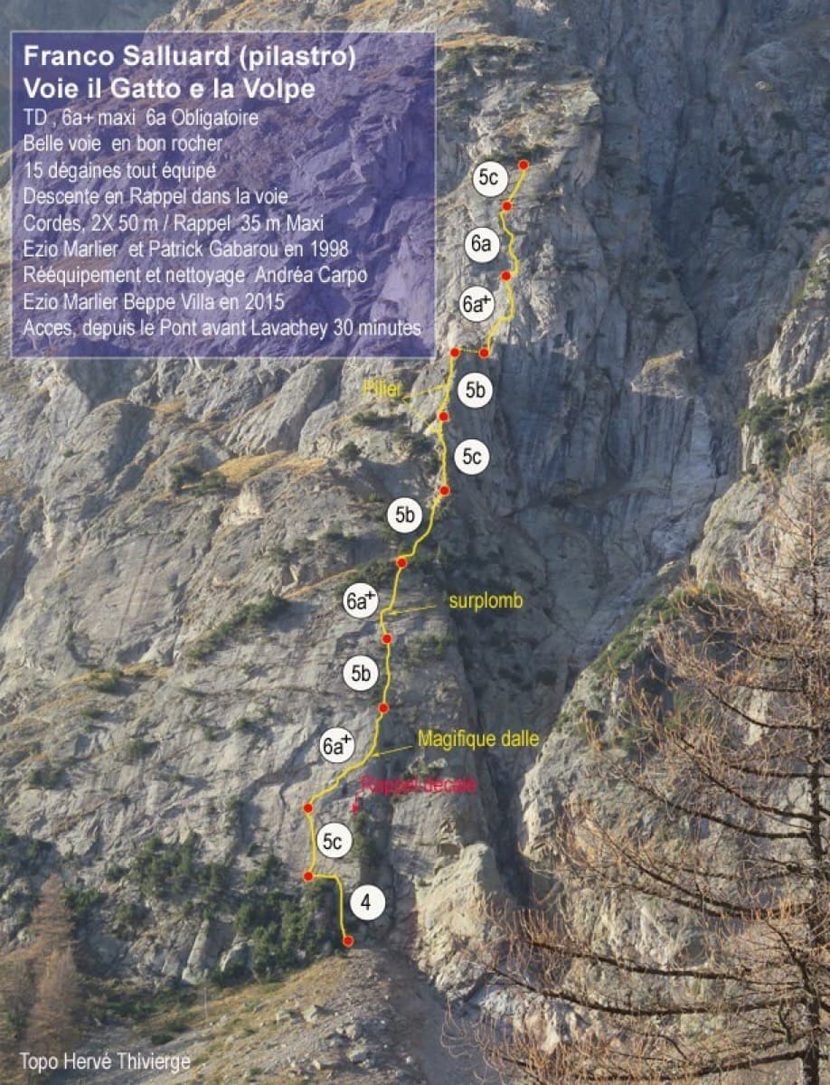
Topo of Il Gatto e la Volpe on the Pilier Franco Salluard, Val Ferret

Italy · Aosta Valley

Il Gatto e la Volpe

Rated 'great' on camptocamp: a wild setting with a short, easy approach from Lavachey. It climbs edgy granite slabs and a pillar crest, with a three-star exposed slab on P9.

6a+11 pitches350 m

No photo yet

Italy · Val d'Ossola

Il Cammino del Sole

Twelve long pitches of sunny gneiss slab above Oira, mostly 4c to 5b+ with two 6a pitches: a thin slab at the start and an athletic corner on pitch 10. Pitches are up to 55 m. A winter-sun route with a summit book and plaques at both ends.

6a12 pitches530 m

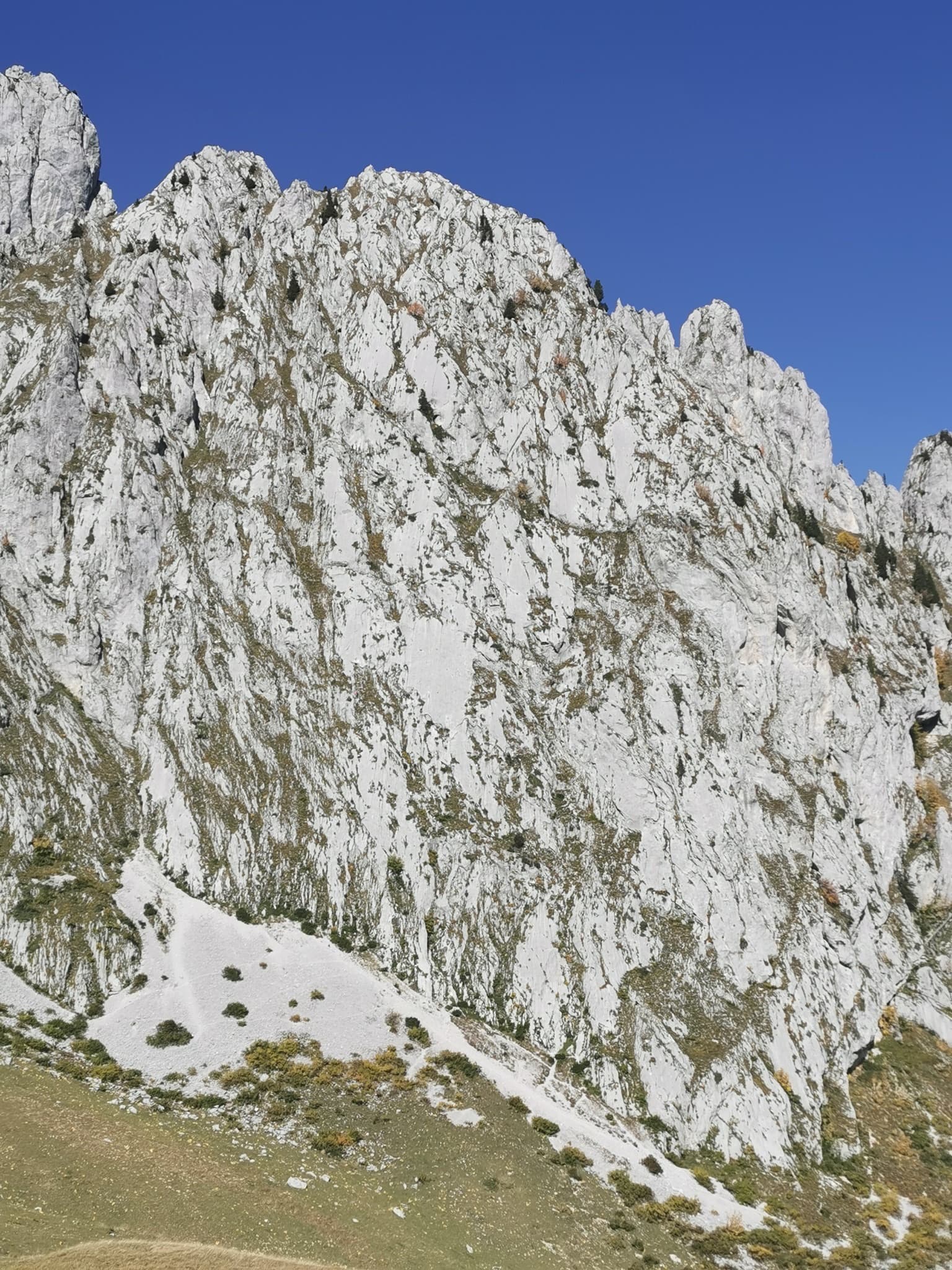
The pale limestone south face of the Pfadflue (Grand Pfad) in the Gastlosen.

Switzerland · Gastlosen

Salü Jan

One of the busiest routes in the Gastlosen: homogeneous, technical climbing on beautiful fluted slabs (cannelures) that dry fast. The top third is broken by grassy ledges.

6a12 pitches380 m

Compiled from published sources and last verified October 2026. Bolts, anchors and access change. Climbing is dangerous and you are responsible for your own decisions: check a current topo and read the disclaimer.