Multipitch Atlas

Il Cammino del Sole

Placche di Oira (Crevoladossola) · Val d'Ossola · Italy

Bail with caveatsBolting confidence: medium

Twelve long pitches of sunny gneiss slab above Oira, mostly 4c to 5b+ with two 6a pitches: a thin slab at the start and an athletic corner on pitch 10. Pitches are up to 55 m. A winter-sun route with a summit book and plaques at both ends.

Hardest pitch
6a
Pitches
12
Length
530 m
Approach
45 min
Aspect
S
South-facing
Rope
2×60 m

The route

Overview

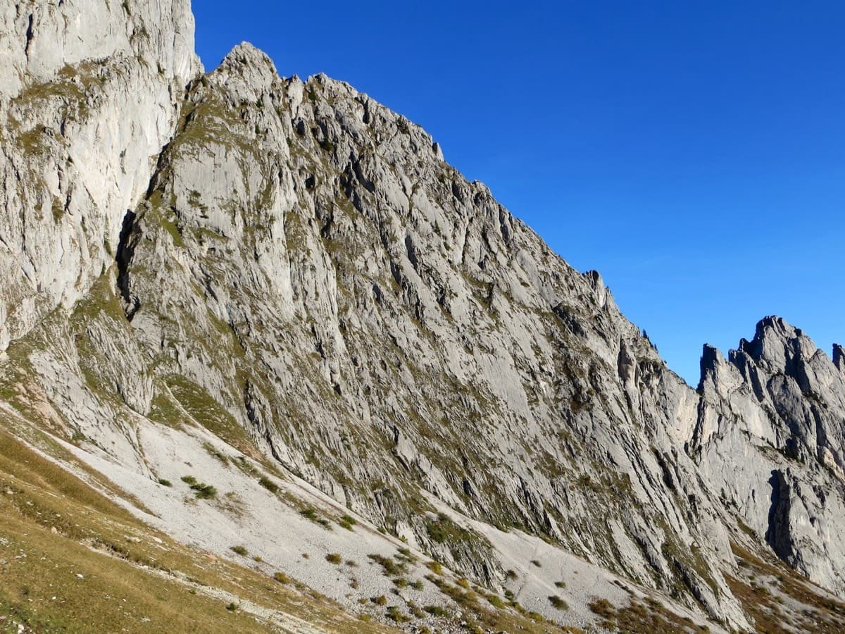
A long plaisir slab route on the south-facing gneiss above the village of Oira, at the mouth of the Valle Antigorio north of Domodossola. The first pitch is one of the two hardest, a slab with a thin crack that fades into delicate friction; after that the pitches run easily until two more physical ones, pitches 9 and 10. The first ascensionists put a great deal of work into cleaning and equipping it. Low altitude and a southern aspect make it a route for the cold half of the year.

The climbing

Pitch by pitch

Pitches of Il Cammino del Sole
PitchGradeLengthNotes
P16a45 mA slab with a thin crack to start; the crack disappears and the moves become very fine, easing near the top.
P24c40 mA sustained low-angled slab.
P34b45 mEasy slab with an entertaining athletic move.
P45b+50 mA slab on small holds with one or two thin moves.
P55a50 mEasy slab with some lichen.
P65c55 mAn athletic crux below the first bolt, then a good layback and slab with flakes.
P74c30 mA short slab. Belay on a tree according to camptocamp.
P85b+55 mA varied and attractive pitch along the arete.
P95b45 mA stubborn start (pass the bolt on its right), then slab and an athletic move to finish.
P106a45 mA vertical, athletic corner with good holds in its second half, then a delicate exit onto the slab.
P114c45 mEasy slab.
P123c35 mLow-angled slab to the summit book.

Getting there

Approach

To the parking

From Domodossola take the main road towards the Valle Antigorio and leave at the first exit for Oira. At the stop sign turn left, then after a few hundred metres right onto the quarry road (via alle cave). An aqueduct tank appears on the left; park there without obstructing the road, which is used by quarry lorries. Domodossola is on the Simplon railway line.

On foot · about 45 min

About 45 min with 300 m of ascent. Take the steep path into the woods behind the tanks, marked by cairns and white dots. After crossing a dry stream you reach terraces and continue leftwards up towards a slab. You come up against an impressive wall with bolts on it: that is a different, harder route. Keep going up to the left and after a short distance the start appears on the right, marked by a plaque with a poem.

Map of the walk-in

  • Crag

Loading map

The point marks the crag, not the exact start of the route.

Coordinates · crag

46.17872, 8.30965

Point from camptocamp waypoint 305437

For your phone or watch

Download GPX

Contains the route point. Opens in most mapping apps and GPS watches.

Points are compiled from published sources, with the precision stated above. They were not surveyed on the ground: check them against a current topo.

Getting down

Descent

Two options. On foot, at least 1 h 30 min and somewhat intricate: from the last belay follow arrows and white dots upwards, go right after a boulder to some ruins reached by an up-and-down passage over easy slabs and through broom (Alpe Balmelle, 10 min). Cross the alp, drop to a spring and take the steep path that traverses to Alpe Nacchino (980 m), then a mule track to the quarries and the gravel road back to the car. By abseil: down the line of ascent, with one abseil to the right at pitch 10 to keep the ropes out of the corner.

Retreat

Bailing off the route

Bail with caveats

The route is equipped for abseiling along the line of ascent, so retreat from any belay is feasible with two 60 m ropes. It is long: from high on the route there are many abseils on low-angled slab, and one of them (at pitch 10) must go to the right to avoid jamming the ropes in the corner.

Retreat from
Any belay; one is a tree (top of pitch 7).
Point of no return
None stated. Above pitch 10 the top is two easy pitches away and the walk-off is the quicker way down.
Carry
Two 60 m ropes; pitches reach 55 m.
Basis
Stated in the sourcesAbseil equipment and the pitch 10 abseil variation are stated by gulliver.it; camptocamp confirms the route is equipped for abseil.

Safety

Hazards

  • Long pitches of 45 to 55 m: a 60 m rope is the minimum and communication is poor on the big slabs.
  • The first bolt of pitch 6 is above an athletic move.
  • Abseil ropes can jam in the pitch 10 corner unless you take the abseil line to the right.
  • The walking descent is not obvious; follow the white dots and cairns carefully.
  • Quarry traffic on the access road.

Sun and weather

Conditions

South to south-east facing between about 680 and 1175 m. Camptocamp recommends it for winter sun; a party on 19 November found conditions ideal and took 3 h 30 min on the route and 1 h 30 min for the walk down. Too hot in summer.

Usual season · Feb to May, Oct to Nov

Sun on the wall · S-facing

Working out the sunlit hours for this month.

  • January: not yet worked out
  • February (usual season): not yet worked out
  • March (usual season): not yet worked out
  • April (usual season): not yet worked out
  • May (usual season): not yet worked out
  • June: not yet worked out
  • July: not yet worked out
  • August: not yet worked out
  • September: not yet worked out
  • October (usual season): not yet worked out
  • November (usual season): not yet worked out
  • December: not yet worked out

Sun on the wallDaylight, wall in shade● Usual season

Estimated from the wall's aspect only. Ignores surrounding terrain, gullies and the wall's exact shape. Clock times are local to the wall (Central European time), for the 15th of each month.

Climate figures for Val d'Ossola are not available yet

What to carry

Gear

15 quickdraws and two 60 m half ropes (gulliver.it). No trad gear. Helmet.

Checklist

Quickdraws
15
Rope
2×60 m
Helmet
One each
Abseil device and prusik
The descent or the retreat involves abseiling

Derived from the route data; check it against a current topo

From climbers

Reader reports

Reader reports are not being collected yet. Until they are, check a current topo and the local club or guidebook publisher for recent changes to Il Cammino del Sole.

Worth knowing

Tips

  • Most parties walk down; camptocamp calls it much easier than abseiling twelve pitches.
  • Do not start up the bolted wall you reach first on the approach; the route starts higher and to the left.

Open questions

Where sources disagree

  • Length: gulliver.it gives 530 m of climbing, which matches the sum of the pitch lengths (540 m); camptocamp's field of 300 m is the height of the difficulties.
  • Aspect: south and south-east (camptocamp) against south (gulliver.it).

Provenance

Sources

Same area

More in Val d'Ossola

All routes in Val d'Ossola
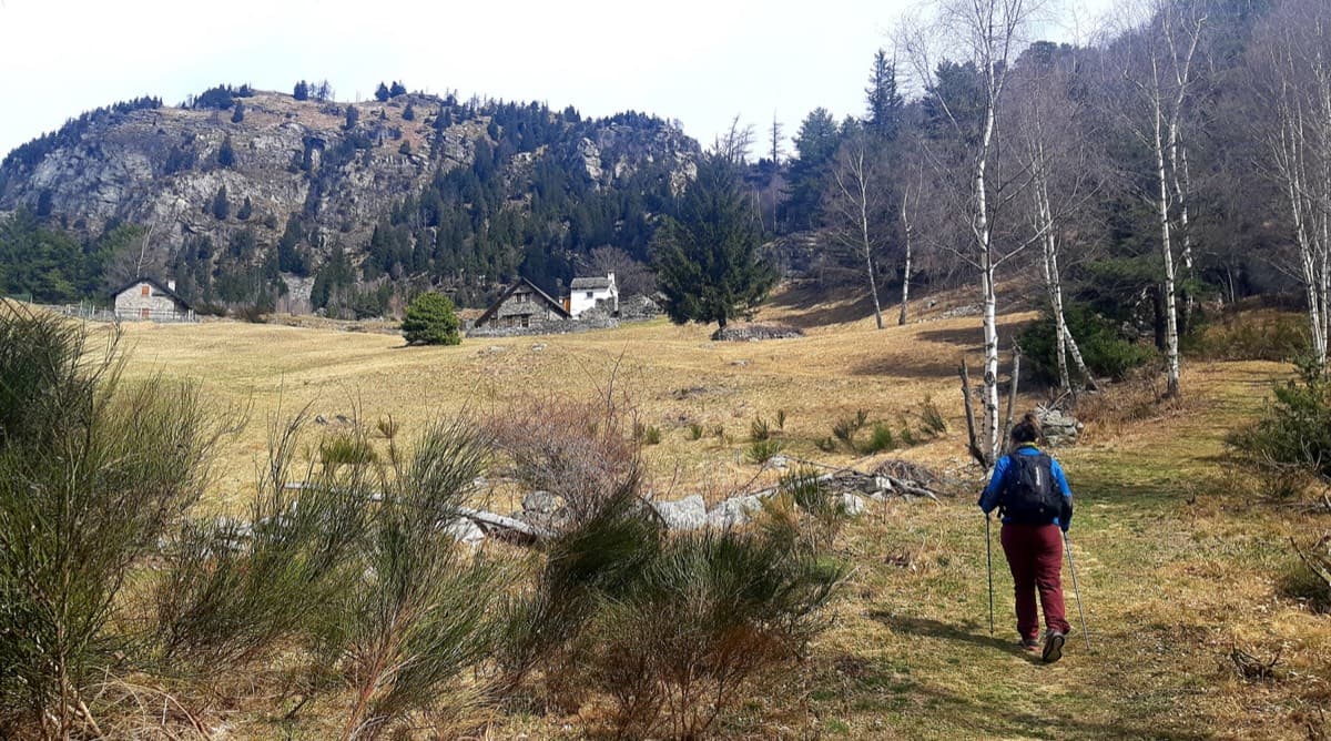
Alpe Gorta above Crevoladossola, with the rocky outcrops behind the huts

Italy · Val d'Ossola

Il Solitaire

A long, sunny friction-slab route of about 35 m pitches on excellent rock, ideal for learning footwork. The hardest move is a short crack-and-chimney finish on the last pitch. Allow about 3 h up and 1 h down.

5b13 pitches430 m
Around 6a · about 12 pitches

Similar elsewhere

Overview of the Salü Jan sector on the Pfadflue, Gastlosen

Switzerland · Gastlosen

Salü Jan

One of the busiest routes in the Gastlosen: homogeneous, technical climbing on beautiful fluted slabs (cannelures) that dry fast. The top third is broken by grassy ledges.

6a12 pitches380 m

Topo of Wings for Life, right of the Crescendo cave, Telendos south face

Greece · Kalymnos & Telendos

Wings for Life

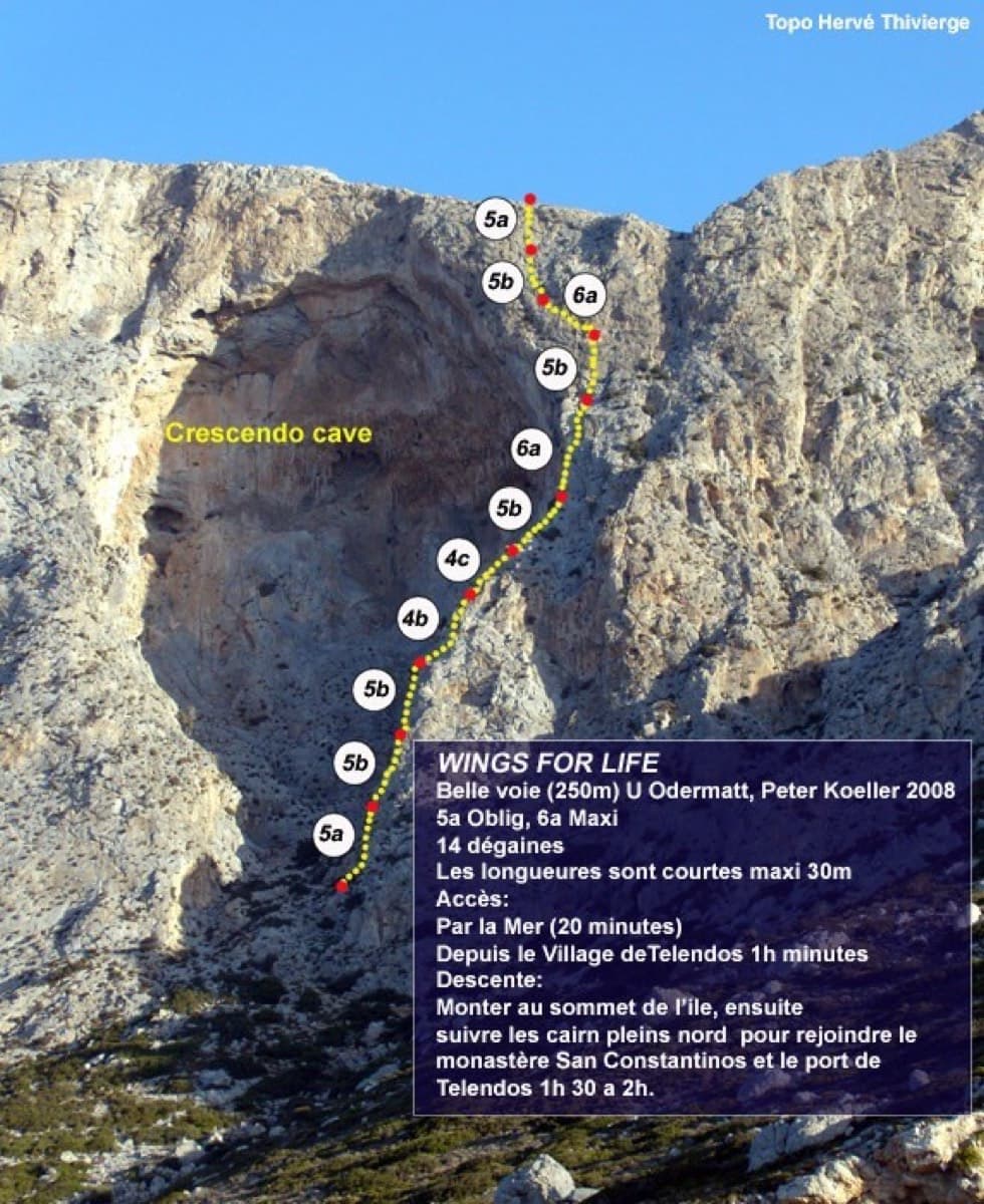
The first route on the wall (Odermatt and Keller, 2008), climbing a long, exposed line on sharp, grippy rock right of the huge roof. The lower pitches are easy for the grade. The two 6a cruxes are a short odd corner over a small roof and a traverse high up, and they come with big exposure. Pitches are short, so you can link them with long draws.

6a11 pitches250 m

Photo-topo of Grimselstrom on the Seeplatten above the Räterichsbodensee, Grimsel

Switzerland · Grimsel

Grimselstrom

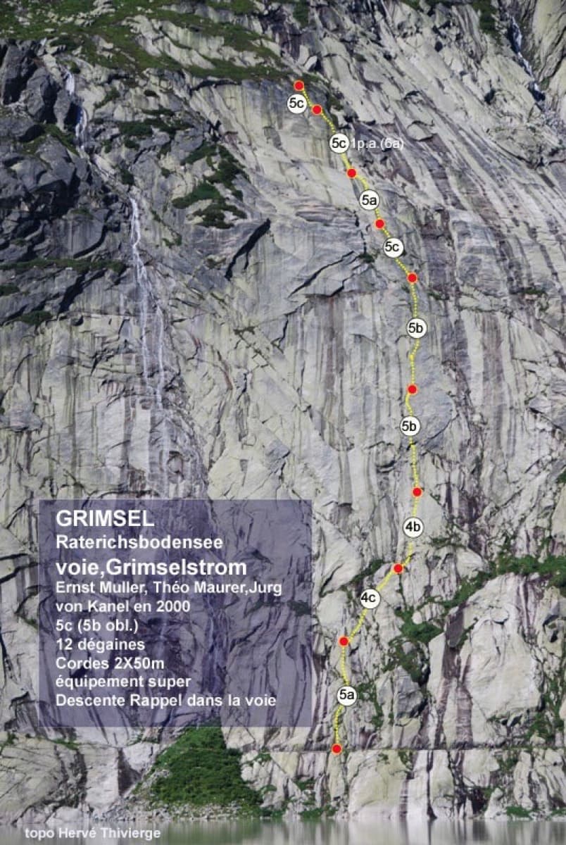
Glacier-polished slabs straight above the Räterichsboden dam. Four warm-up pitches lead to sustained 5b–5c slab and a short fissured roof (6a or A0).

6a11 pitches220 m

Read the cautions

Hand-drawn topo of Quarzader on the Speroni di Ponte Brolla

Switzerland · Ticino

Quarzader

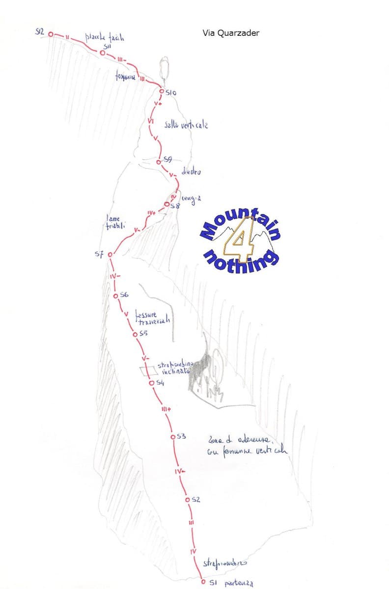
Slab pitches give way to a vertical wall threaded with quartz veins, which gives the route its name. It is shady in the morning, and the pitches are short (about 35 m), so 11 go quickly.

6a11 pitches400 m

Compiled from published sources and last verified October 2026. Bolts, anchors and access change. Climbing is dangerous and you are responsible for your own decisions: check a current topo and read the disclaimer.