Multipitch Atlas

Rambo

Ilinac · Omiš · Croatia

Easy to bailBolting confidence: high

Omiš's signature moderate: long, slabby pitches on knobbly grey limestone with big views over the Cetina mouth and the Adriatic. The crux is a short crack on the final pitch.

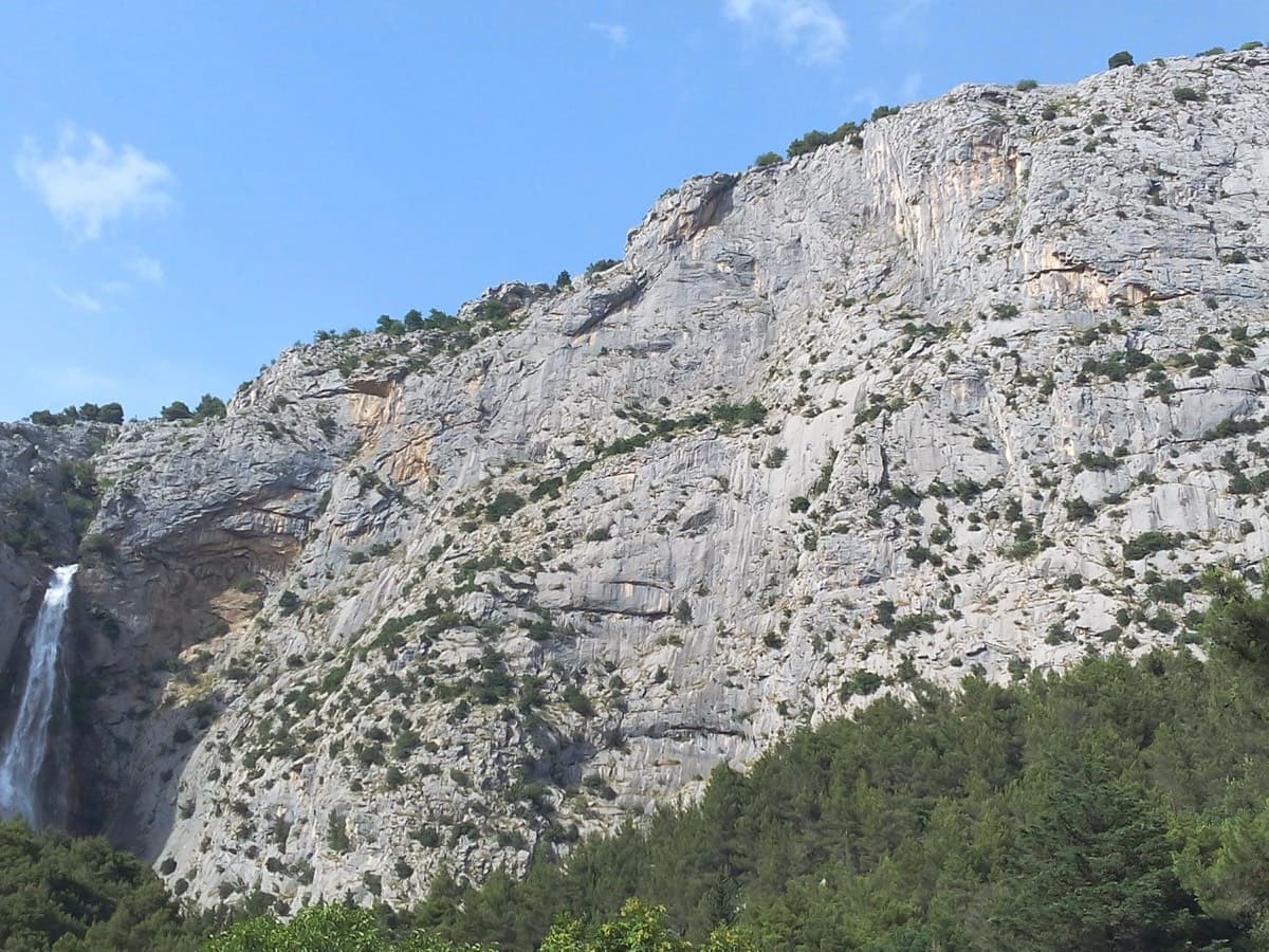
The Ilinac wall above the Cetina near Omiš; Rambo climbs the centre of the facePhoto: jeanluca · CC BY-SA 3.0

Photo

The Ilinac wall above the Cetina near Omiš; Rambo climbs the centre of the facePhoto: jeanluca · CC BY-SA 3.0
Hardest pitch
6a
Pitches
6
Length
230 m
Approach
20 min
Aspect
W
West-facing
Rope
2×50 m

The route

Overview

Rambo is the easiest of the long routes on Ilinac, the big limestone wall above the Cetina just north of Omiš. Six pitches of mostly slab climbing broken by ledges lead to a final 6a crack, with the river mouth and the sea in view all the way. The bolts are new and close together, and every belay is a comfortable chained station, so it feels friendly for its 230 m. The two 6a pitches are short-lived cruxes on otherwise 5a/5b ground. It is the most popular multipitch here, so expect company.

The climbing

Pitch by pitch

Pitches of Rambo
PitchGradeLengthNotes
P15a45 mSlabs broken by ledges to a comfortable belay.
P25b40 mSlab. Mostly well protected but a little more heady than pitch 1.
P36a40 mA big slab, not sustained; well-protected slabby crux. The local Omiš guide gives 5c.
P45a30 mTraverse up and right over blocky ground.
P55b30 mTwo slabby walls and some blocks to a comfortable belay ledge.
P66a30 mThe crux pitch: a crack right of the belay, then round a corner to the final anchor just below the summit.

Getting there

Approach

To the parking

Omiš is on the coast about 20 km south-east of Split. From the centre drive north-east on Mosorska cesta along the north (right) bank of the Cetina. After about 1 km take the right fork (left climbs to Gata) and continue 0.9 km to the red-brick parking areas by the river, about 50 m before the gated hydroelectric plant.

On foot · about 20 min

15 to 20 min. Walk 30–50 m up the road to a concrete memorial with a trail map and follow the educational trail towards the shrine of St Leopold, crossing the channelled stream on two footbridges and a third time just past the shrine. At the junction (the first hairpin) take the climbers' path up and left into the pines, not the path on the stream's left side beside the shrine. After 100–150 m go steeply up right just before an abandoned building, then follow the foot of the cliff for about 100 m. The start is marked by a small memorial plaque about 2 m off the ground (to 'Yannick Branson', per camptocamp). It is easy to walk past.

Finding the route · 2 photos

  • Start of the routeThe small memorial at the start of Rambo as it looked in June 2015 (photographer's title: "memorial at the start"). The start is easy to walk past, so look for it at the foot of the cliff.Photo: jeanluca · CC BY-SA 3.0
  • OverviewThe Ilinac wall seen from below (photographer's title: "the Ilinac wall"), May 2024. A white cross stands among the trees at the lower left.Photo: Yannick Guerillot · CC BY-NC-ND 3.0

Approach photo

Map of the walk-in

  • Crag

Loading map

The point marks the crag, not the exact start of the route.

Coordinates · crag

43.45933, 16.70536

Point from camptocamp waypoint 237965

For your phone or watch

Download GPX

Contains the route point. Opens in most mapping apps and GPS watches.

Points are compiled from published sources, with the precision stated above. They were not surveyed on the ground: check them against a current topo.

Getting down

Descent

Abseil the route from the pitch 6 anchor with 2×50 m ropes; allow about 1 h. Each belay has a separate abseil station close by with rings in good condition. Do not link abseils: the wall is ledgy with trees and ropes snag. Alternative: climb the optional pitch 7 (4b/4c, 30 m) to the summit and walk down, about 45 min. Pitch 7 is awkward to abseil, so if you climb it, walk off.

Retreat

Bailing off the route

Easy to bail

Yes. Abseiling the route is the normal descent, and every belay has its own abseil station with rings close by, so you can turn round at any belay. Go station to station: the wall is ledgy with trees, and a 2025 party who linked two abseils had to re-climb pitch 5 to free their rope.

Retreat from
Any belay from R1 to R6. Each has a separate ring station beside it. The optional pitch 7 is awkward to abseil, so if you climb it, walk off (about 45 min).
Point of no return
None on the six main pitches. Only the optional pitch 7 is described as awkward to abseil.
Carry
2×50 m ropes (pitches are 30 to 45 m, so a single rope does not reach). Nothing to leave behind.
Basis
Stated in the sourcesThe guide's sources (Mountain Project, camptocamp) state the abseil descent, the ring stations at each belay and the stuck-rope report; nothing here is inferred beyond 'any belay'.

Safety

Hazards

  • Stuck ropes on the abseils: the wall has ledges and trees. A 2025 party who linked the first two abseils had to re-climb pitch 5 to free their rope. Abseil station to station.
  • Other parties: the route is popular and you abseil the line of ascent, so watch for climbers below and for loose stones on the ledges.
  • Full sun from late morning in the warm months.

Sun and weather

Conditions

West to south-west facing at 180–320 m. In summer the route is in shade until about 11:30, then in full sun until evening. A June party who climbed in the sun regretted the timing. The sources read do not state a best season. Popular route.

Usual season · Mar to May, Oct to Nov

Sun on the wall · W-facing

Working out the sunlit hours for this month.

  • January: not yet worked out
  • February: not yet worked out
  • March (usual season): not yet worked out
  • April (usual season): not yet worked out
  • May (usual season): not yet worked out
  • June: not yet worked out
  • July: not yet worked out
  • August: not yet worked out
  • September: not yet worked out
  • October (usual season): not yet worked out
  • November (usual season): not yet worked out
  • December: not yet worked out

Sun on the wallDaylight, wall in shade● Usual season

Estimated from the wall's aspect only. Ignores surrounding terrain, gullies and the wall's exact shape. Clock times are local to the wall (Central European time), for the 15th of each month.

Monthly climate averages for Omiš, 1991-2020
MeasureJanFebMar (usual season)Apr (usual season)May (usual season)JunJulAugSepOct (usual season)Nov (usual season)Dec
Mean daily high °C891215192427272218139
Mean daily low °C124812161819151173
Rain days 1 mm or more11101012107558111312
Sunshine hours a day6.37.79.410.612.213.213.612.910.68.76.55.9

● marks the usual climbing season. Averages for 1991-2020 at about 333 m. Area climate from Open-Meteo reanalysis (about 10 km grid): the wall and valley can differ. Data: Open-Meteo, CC BY 4.0.

What to carry

Gear

2×50 m ropes for the abseils. Quickdraw count is not given in the sources; pitches are 30–45 m with close bolts. Some slings or long draws help with rope drag. Helmet.

Checklist

Quickdraws
Number not given in the sources
Rope
2×50 m
Helmet
One each
Abseil device and prusik
The descent or the retreat involves abseiling

Derived from the route data; check it against a current topo

From climbers

Reader reports

Reader reports are not being collected yet. Until they are, check a current topo and the local club or guidebook publisher for recent changes to Rambo.

Worth knowing

Tips

  • Start early in warm weather to climb the lower pitches in shade.
  • Topping out by pitch 7 and walking down avoids abseiling past other parties.
  • A camptocamp party of three took 4 h 15 base to base; camptocamp quotes about 2 h 30 for the climb.
  • The free Omiš climbing guide PDF from climbingomis.com has the wall topo and route list.

Open questions

Where sources disagree

  • Pitch 3: 6a on camptocamp (French text), Mountain Project and plezanje.net; 5c in the local Omiš guide; 5c+ in camptocamp's Spanish text. This entry uses 6a.
  • Pitch 5: camptocamp's Spanish text gives 6a for pitch 5 and 4c for pitch 6, which looks like a different pitch split; every other source has 5b then 6a.
  • Pitch lengths: camptocamp gives 45, 40, 40, 30, 30, 30 m; Mountain Project gives 50, 50, 30, 40, 30, 30 m. Camptocamp's are listed here. With 50 m ropes either is fine.
  • Approach time: 15 min (camptocamp) against about 20 min on a first visit (Mountain Project).
  • Aspect: camptocamp says W; Mountain Project describes Ilinac as south-west facing.
  • Mountain Project's header shows 6b, an artefact of its grade conversion; its own pitch list tops out at 6a.

Provenance

Sources

Same area

More in Omiš

All routes in Omiš
The Ilinac wall above the Cetina near Omiš

Croatia · Omiš

Stargate

A long, varied line of slabs, corners and ledgy traverses up the middle of Ilinac. MP and plezanje.net count the pitches differently (7 vs 8) because they split the short easy top pitches differently.

6b8 pitches235 m

Read the cautions
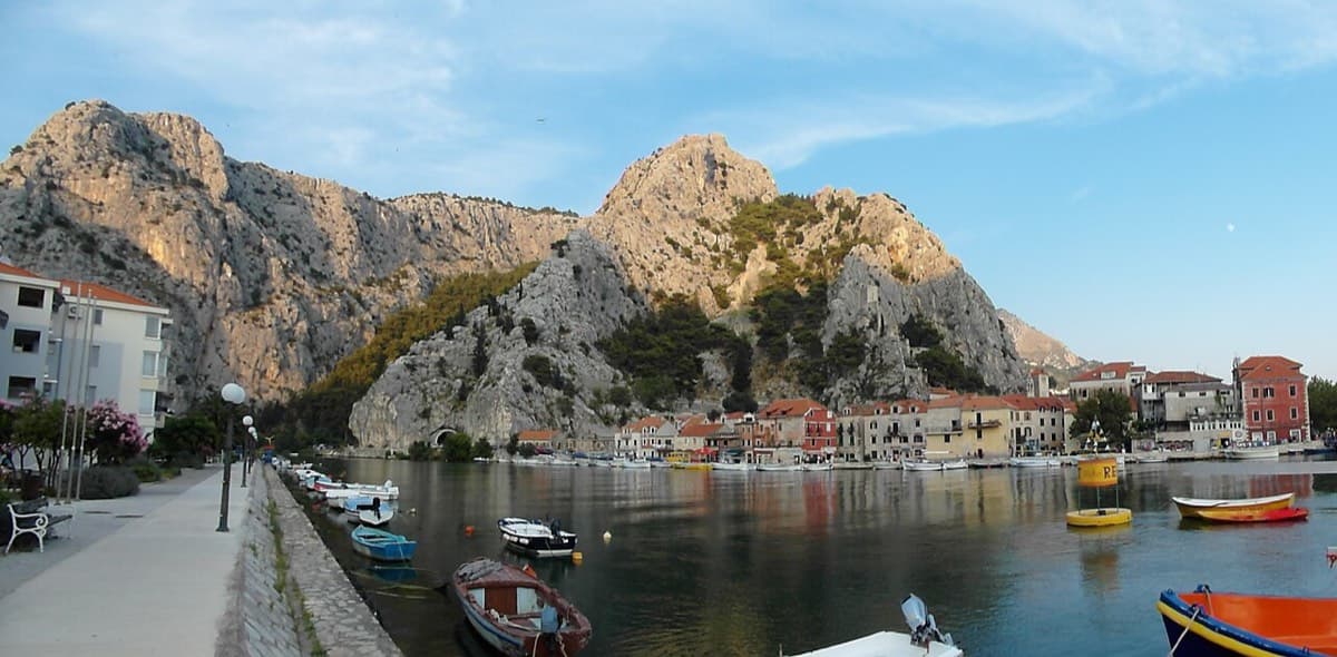
Omiš old town and harbour beneath the limestone cliffs at the mouth of the Cetina

Croatia · Omiš

Forma Piva

Sharp, coral-like rock mixing slab and steep juggy walls, finishing up a crack system. It has the best views in Omiš, over the sea, the river and the old town.

6a+5 pitches200 m

Read the cautions

Around 6a · about 6 pitches

Similar elsewhere

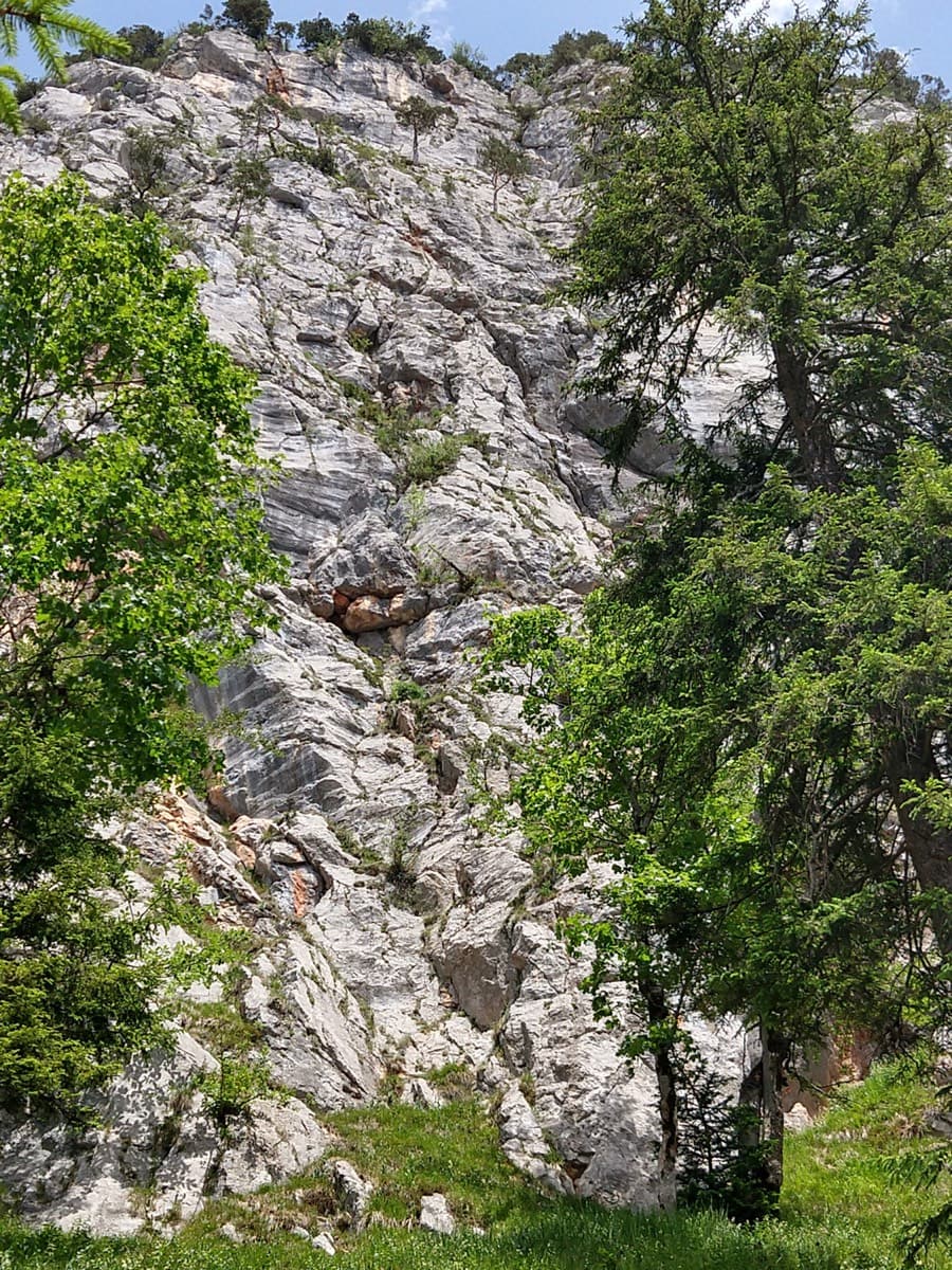
The Rabensteinhorn wall climbed by Die Schönheitskönigin von Schneizlreuth, seen from its foot

Germany · Berchtesgaden & Bad Reichenhall

Die Schönheitskönigin von Schneizlreuth

Six pitches on excellent grippy limestone with views to the Watzmann, established 2012. Pitch grades are converted from the UIAA topo (6-, 6, 6, 5+, 5+, 6); 5 is obligatory.

6a6 pitches165 m

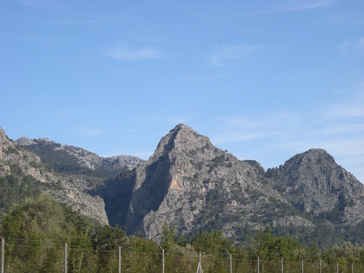
Sa Gubia seen from the Sóller road, Mallorca

Spain · Mallorca (Sa Gubia)

La Ley del Deseo

A steady 6a sport line, the first bolt line right of the open-book corner on the Bomberos wall. A harder P2 variation ('Sonrisa Vertical') is available.

6a6 pitches152 m

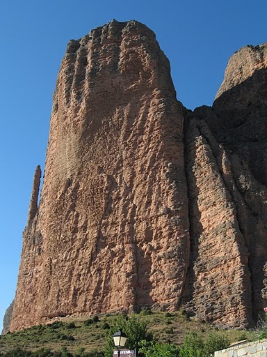
The Adamelo spur on Mallo Pisón, Riglos

Spain · Riglos & Agüero (Mallos)

Espolón del Adamelo

This is the gentlest way to sample Riglos. Polished pockets and two bulging 'panzas' lead to a 6a crux that can be pulled through on the bolts (A0). The upper spur is easy, and the Pisón towers loom close by.

6a7 pitches175 m

Read the cautions

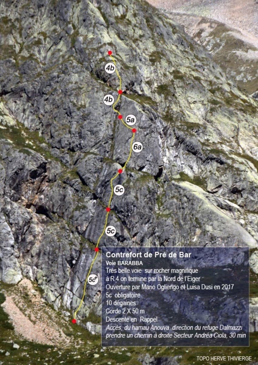
Topo of Barabba on the Contrefort de Pré de Bar, Val Ferret

Italy · Aosta Valley

Barabba

A pretty plaisir route on edgy, quartz-studded granite slabs beneath the Mont Blanc massif. The crux is a short bulge and steep juggy wall on P4. Camptocamp rates it 'great'.

6a7 pitches180 m

Compiled from published sources and last verified October 2026. Bolts, anchors and access change. Climbing is dangerous and you are responsible for your own decisions: check a current topo and read the disclaimer.