
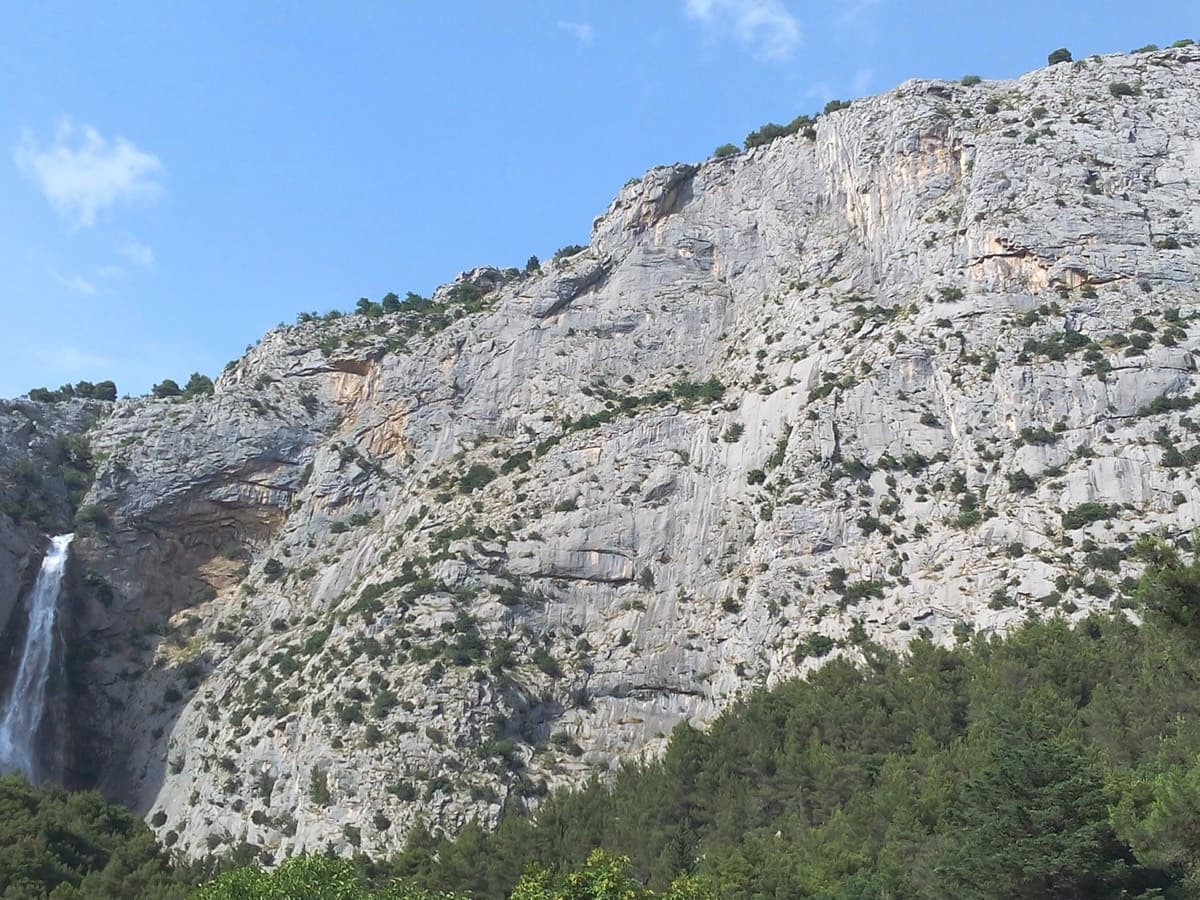
Croatia · Omiš
Rambo
Omiš's signature moderate: long, slabby pitches on knobbly grey limestone with big views over the Cetina mouth and the Adriatic. The crux is a short crack on the final pitch.
6a6 pitches230 m
Stomorica · Omiš · Croatia
Read the cautionsBail with caveatsBolting confidence: high
Sharp, coral-like rock mixing slab and steep juggy walls, finishing up a crack system. It has the best views in Omiš, over the sea, the river and the old town.
Fully bolted (rebolted 2006, reported good in 2021), but the descent needs 2×70 m ropes or route-finding on the ridge, and a hornets' nest was reported on pitch 1 in 2023.
The route
Forma Piva is a five-pitch sport route on the left-hand, multipitch side of Stomorica, the wall above the coast road just north-west of Omiš. It starts up a slab, crosses right to a crack system and follows it with two steeper, juggy 6a+ pitches on sharp limestone. It dates from 1986 and was fully rebolted from the ground up for its 20th anniversary, so it climbs as a sport route. The climbing is well protected where it is hard; the serious part is the descent, which needs either two 70 m ropes or some route-finding along the ridge.
The climbing
| Pitch | Grade | Length | Notes |
|---|---|---|---|
| P1 | 5c | 35 m | Slabby start with the crux at the third bolt, then easier ground to a shaded belay ledge. A 2023 warning reports a hornets' nest in the big crack on this pitch; pass it on the right. |
| P2 | 4a | 30 m | Short link pitch traversing right (only two bolts according to Mountain Project) to the foot of the crack system. Graded 4a locally, 4b on Mountain Project. |
| P3 | 6a+ | 40 m | Steep, juggy climbing up the crack line, well bolted. The rock is sharp. |
| P4 | 6a/6a+ | 40 m | Moves between holds in the crack and bolts on the face. The last bolts are widely spaced. The belay at the top of this pitch is the one the local topo uses for the two-rope abseil. |
| P5 | 5b | 30 m | Shorter, easier pitch to the top of the crack system. Above it about 30 m of unbolted easy scrambling leads to a tree on the ridge. |
Getting there
Omiš is on the coast road south-east of Split. Stomorica is on the west side of the Cetina, on the hillside to your right as you drive north-west from the Omiš bridge towards Split. Mountain Project gives two options. By car: about 500 m north-west of the bridge turn right onto a small street signed 'Duće' and 'staro selo', follow it uphill for about 1.1 km through a right and then a left hairpin, and at the second (left) hairpin take a single-lane dirt road for 0.4 km to a small parking area by a rusty gate (overflow pull-outs near the hairpin). On foot: a trail climbs almost straight up from the petrol station, shop and Kamp Galeb campsite below the wall. The route page itself describes parking near the end of Put Vrila road and taking a trail that starts behind a small hut where the road begins to descend.
From the gate, go up and left past a vineyard, then up a stone wall to a path heading right. The multipitch routes (Canadair and Forma Piva) are reached before the single-pitch sector. At the base, Forma Piva is the right-hand of two bolt lines on Stomorica Left; Canadair is to its left. No source gives a walking time.
Loading map
The point marks the crag, not the exact start of the route.
Point from Mountain Project area 112305463 (Stomorica)
Contains the route point. Opens in most mapping apps and GPS watches.
Points are compiled from published sources, with the precision stated above. They were not surveyed on the ground: check them against a current topo.
Coordinates: 43.44497, 16.68116 (crag)
Getting down
Three options are described, and none is a simple single-rope abseil. (1) Local topo (SPK Marulianus): the most efficient descent is two abseils with 2×70 m ropes from the penultimate belay, at the top of pitch 4. (2) Abseiling from every belay of the route is possible but awkward, because the line trends right the whole way. (3) From the top, the Marulianus text mentions an old abseil line at the lowest point of Stomorica, reached along the ridge eastwards from the exit. The 2021 Mountain Project party could not find the abseil station their guidebook showed; they scrambled along the ridge to a tree and abseiled from bolts beside it into the gully, where a trail leads back to the road. The Mountain Project area page describes a 50 m abseil from the low notch in the skyline.
Retreat
Bail with caveats
Retreat by abseil is possible but awkward. The local topo says you can abseil from every belay, but the line trends right the whole way, so the abseils do not hang straight back down the pitches. With a single rope the sources point you towards topping out and descending from the ridge instead.
Partly inferred from the route facts
Safety
Sun and weather
No source read gives the aspect or sun hours for the multipitch wall. The first belay ledge is described as shaded. A 2022 visitor found Stomorica very hot on a clear day. The spring and autumn season listed here is not contradicted.
Sun on the wall
No estimate: the wall's aspect is not recorded for this route.
| Measure | Jan | Feb | Mar (usual season) | Apr (usual season) | May (usual season) | Jun | Jul | Aug | Sep | Oct (usual season) | Nov (usual season) | Dec |
|---|---|---|---|---|---|---|---|---|---|---|---|---|
| Mean daily high °C | 8 | 9 | 12 | 15 | 19 | 24 | 27 | 27 | 22 | 18 | 13 | 9 |
| Mean daily low °C | 1 | 2 | 4 | 8 | 12 | 16 | 18 | 19 | 15 | 11 | 7 | 3 |
| Rain days 1 mm or more | 11 | 10 | 10 | 12 | 10 | 7 | 5 | 5 | 8 | 11 | 13 | 12 |
| Sunshine hours a day | 6.3 | 7.7 | 9.4 | 10.6 | 12.2 | 13.2 | 13.6 | 12.9 | 10.6 | 8.7 | 6.5 | 5.9 |
● marks the usual climbing season. Averages for 1991-2020 at about 333 m. Area climate from Open-Meteo reanalysis (about 10 km grid): the wall and valley can differ. Data: Open-Meteo, CC BY 4.0.
What to carry
12 quickdraws are enough according to the Mountain Project author (who carried 15). Two 70 m ropes if you want the two-abseil descent from the top of pitch 4. Helmet. No trad gear is mentioned by any source.
Derived from the route data; check it against a current topo
From climbers
Reader reports are not being collected yet. Until they are, check a current topo and the local club or guidebook publisher for recent changes to Forma Piva.
Worth knowing
Open questions
Provenance
Same area
Croatia · Omiš
Omiš's signature moderate: long, slabby pitches on knobbly grey limestone with big views over the Cetina mouth and the Adriatic. The crux is a short crack on the final pitch.
6a6 pitches230 m
Croatia · Omiš
A long, varied line of slabs, corners and ledgy traverses up the middle of Ilinac. MP and plezanje.net count the pitches differently (7 vs 8) because they split the short easy top pitches differently.
6b8 pitches235 m
Read the cautions
Around 6a+ · about 5 pitches
Spain · Montserrat
A modern linkup over two pinnacles on excellent conglomerate. Overhanging 6a and 6a+ walls alternate with easy 'potato-field' slabs. The new bolting makes it one of the most reassuring long lines in the massif.
6a+5 pitches185 m
Croatia · Paklenica
A short, high-quality modern line: a clean straight first pitch, then a steep crack crux and magnificent water grooves.
6a+5 pitches100 m
Read the cautions
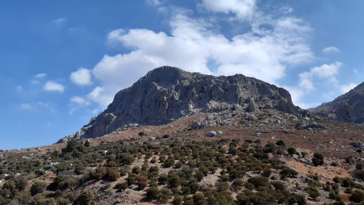
Greece · Kalymnos & Telendos
A varied, consistently sustained line on good rock with long pitches (25–38 m): vertical walls and a superb corner on P3. Quieter than the Masouri classics.
6a+5 pitches200 m
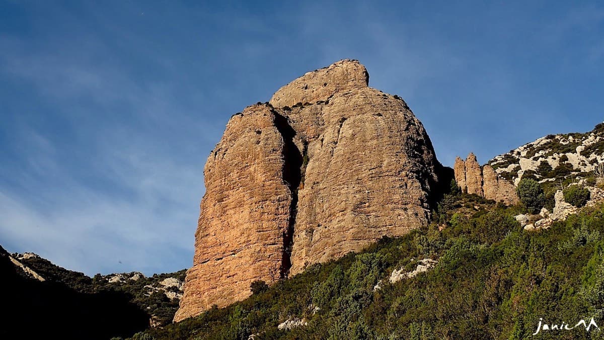
Spain · Riglos & Agüero (Mallos)
Five 25 m pitches right of the deep groove on the Colorado, joining Anorexia for the last one. Mediocre rock low on the first pitch.
6a+5 pitches125 m
Read the cautions
Compiled from published sources and last verified October 2026. Bolts, anchors and access change. Climbing is dangerous and you are responsible for your own decisions: check a current topo and read the disclaimer.