
Spain · Montserrat
Via Sargantanes
A popular first Montserrat multipitch close to the monastery. Steep pebble walls at 5b are split by easy slabs, finishing on an airy summit cap.
5b6 pitches145 m
Read the cautions
Punta Pam a Pam / Mirador de Sant Joan (Sant Joan sector) · Montserrat · Spain
Bail with caveatsBolting confidence: high
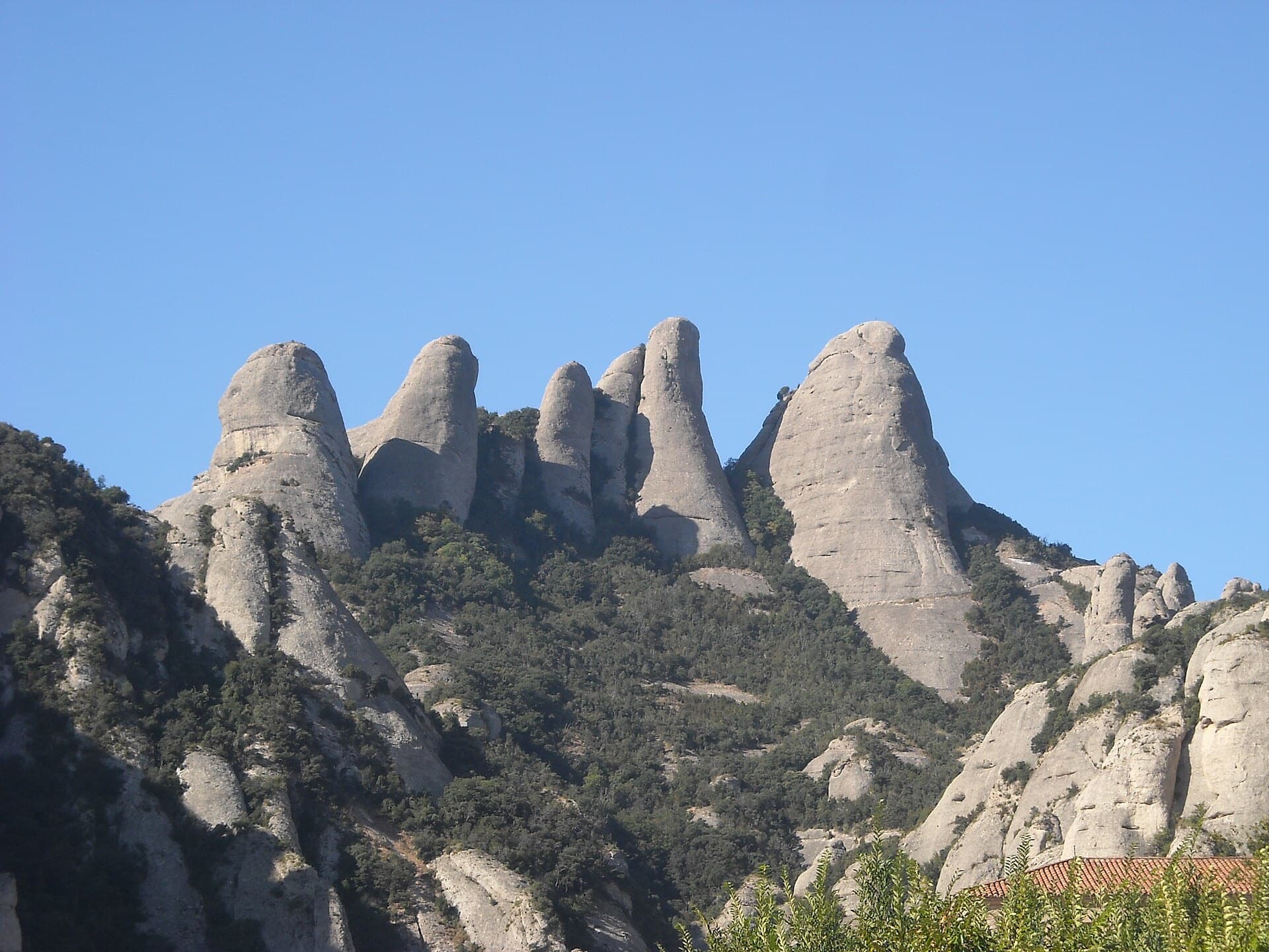
A modern linkup over two pinnacles on excellent conglomerate. Overhanging 6a and 6a+ walls alternate with easy 'potato-field' slabs. The new bolting makes it one of the most reassuring long lines in the massif.
The route
The Integral d'en Pitu i la Nuri links two conglomerate needles below the Miranda de Sant Joan: three pitches to the top of the Punta Pam a Pam, a short walk down, then two more to the second summit. Easy, heavily bolted 'potato field' walls alternate with two steep, physical cruxes, on pitch 2 and pitch 5. Both cruxes are very closely bolted and go at A0, so the obligatory grade is only about 4c. The bolting is modern and dense, which makes it a low-stress day, but finding the start is the real difficulty.
In pictures
The climbing
| Pitch | Grade | Length | Bolts | Notes |
|---|---|---|---|---|
| P1 | 4b | 50 m | 15 bolts | An easy ramp (3b) to a crest, a slightly harder step left (4b), then a leftward diagonal and straight up to a belay below an overhanging wall. Long and well protected. |
| P2 | 6a | 30 m | 15 bolts | Easy ground (4b) to the overhanging wall, then a sustained, physical section on big pebbles (6a, or A0 on the bolts), followed by a vertical, very well bolted 'potato field' at 4b. Two recent parties thought this the hardest pitch of the route, one calling it 6b. |
| P3 | 3b | 25 m | 3 bolts | Easy climbing to the belay on the summit of the Punta Pam a Pam. From here walk down about 30 m to the foot of the second needle and start up the left-hand line. |
| P4 | 4c | 40 m | 15 bolts | A well-bolted wall. Two blogs warn of a flake low on the pitch that looks detachable. The first-ascent party found it dirty in 2011; later parties describe good holds. |
| P5 | 6a+ | 40 m | 15 bolts | Step left, then a sustained vertical wall (5c, then the 6a+ crux, which goes at A0), and an easy ramp (3b) to the summit belay. Several parties found it easier than pitch 2; a 2026 report suggests 5c/5c+. |
Getting there
Montserrat monastery. Camptocamp suggests parking just above the hairpin at the monastery toll, which it describes as free, and walking up through the car parks. By public transport, FGC trains from Barcelona (Manresa line) connect with the rack railway from Monistrol or the cable car. The Sant Joan funicular from the monastery saves most of the climb. One blogger found the monastery car park full by midday on a weekend and a long funicular queue.
About 1 h 15 to 1 h 30 on foot from the monastery, less with the funicular. Walk up to the Plaça de Santa Anna, leave the GR4, take the PR C-19 to the Camí de Sant Jeroni and the Pla de les Taràntules, then follow the path towards Sant Joan. Pass the chapel. At the last bend, where the Sant Onofre path leaves on the right, take the blue-marked path that descends on the left (about 20 minutes downhill from here). Follow it to a junction where it climbs right to a small col between the Miranda Xixa and the Miranda de Sant Joan, pass below some routes and keep descending. Where the path turns sharply left, a track with yellow paint marks goes right: ignore it, it leads to R3 on top of the Punta Pam a Pam. Carry on down a good way to a very marked left-hand bend and take a faint path right through the vegetation to the foot of the routes. The start is at the far end of the rock, left of the route Camí d'en Barberà. The hangers are yellow.
Loading map
The point marks the crag, not the exact start of the route.
Parking
Funicular de Sant Joan (camptocamp access point)
Point from OpenStreetMap node 10594725090 (Punta Pam a Pam)
Contains the route point and parking. Opens in most mapping apps and GPS watches.
Points are compiled from published sources, with the precision stated above. They were not surveyed on the ground: check them against a current topo.
Coordinates: 41.58699, 1.82452 (crag) · Parking: 41.58849, 1.83337
Getting down
Walk off. From the top, descend the north-east ridge towards the col of the Miranda de Santa Magdalena, without needing to reach it. After the rocky section a path leads directly to the Sant Joan track. From there take the funicular or walk down by Santa Anna to the monastery.
Retreat
Bail with caveats
Partly. The route is two needles with a walk between them, and the top of pitch 3 (summit of the Punta Pam a Pam) is reached by a path, so you can stop there and walk out. Abseiling the pitches is not described anywhere. The bolts are very close, so lowering off a bolt on the two crux pitches is feasible, and both cruxes go at A0.
Partly inferred from the route facts
Safety
Sun and weather
South-facing (camptocamp). No source gives sun hours or a season. The 2011 first-ascent party found the rock wet and slow to dry after rain. An April 2026 party reported alternating warm and cool in fine weather.
Sun on the wall · S-facing
Working out the sunlit hours for this month.
Sun on the wallDaylight, wall in shade● Usual season
Estimated from the wall's aspect only. Ignores surrounding terrain, gullies and the wall's exact shape. Clock times are local to the wall (Central European time), for the 15th of each month.
| Measure | Jan (usual season) | Feb (usual season) | Mar (usual season) | Apr (usual season) | May (usual season) | Jun | Jul | Aug | Sep | Oct (usual season) | Nov (usual season) | Dec (usual season) |
|---|---|---|---|---|---|---|---|---|---|---|---|---|
| Mean daily high °C | 6 | 8 | 11 | 13 | 17 | 21 | 24 | 23 | 19 | 15 | 10 | 7 |
| Mean daily low °C | −3 | −3 | 0 | 3 | 6 | 10 | 13 | 14 | 10 | 7 | 1 | −2 |
| Rain days 1 mm or more | 6 | 6 | 7 | 10 | 9 | 7 | 7 | 9 | 12 | 10 | 7 | 6 |
● marks the usual climbing season. Averages for 1991-2020 at about 1072 m. Area climate from Open-Meteo reanalysis. Temperatures are adjusted to the height of the crag; rain comes from a grid cell of about 10 to 25 km, and summer highs on sea cliffs can read a few degrees low. The wall and valley can differ. Data: Open-Meteo, CC BY 4.0.
What to carry
50 m rope, 15 quickdraws (one party used 14), slings for the belays. No cams needed. Stirrups are optional for aiding the cruxes; one party carried them and used them on pitch 2.
Derived from the route data; check it against a current topo
From climbers
Reader reports are not being collected yet. Until they are, check a current topo and the local club or guidebook publisher for recent changes to Integral d'en Pitu i la Nuri.
Worth knowing
Open questions
Provenance
Same area
Spain · Montserrat
A popular first Montserrat multipitch close to the monastery. Steep pebble walls at 5b are split by easy slabs, finishing on an airy summit cap.
5b6 pitches145 m
Read the cautions
Spain · Montserrat
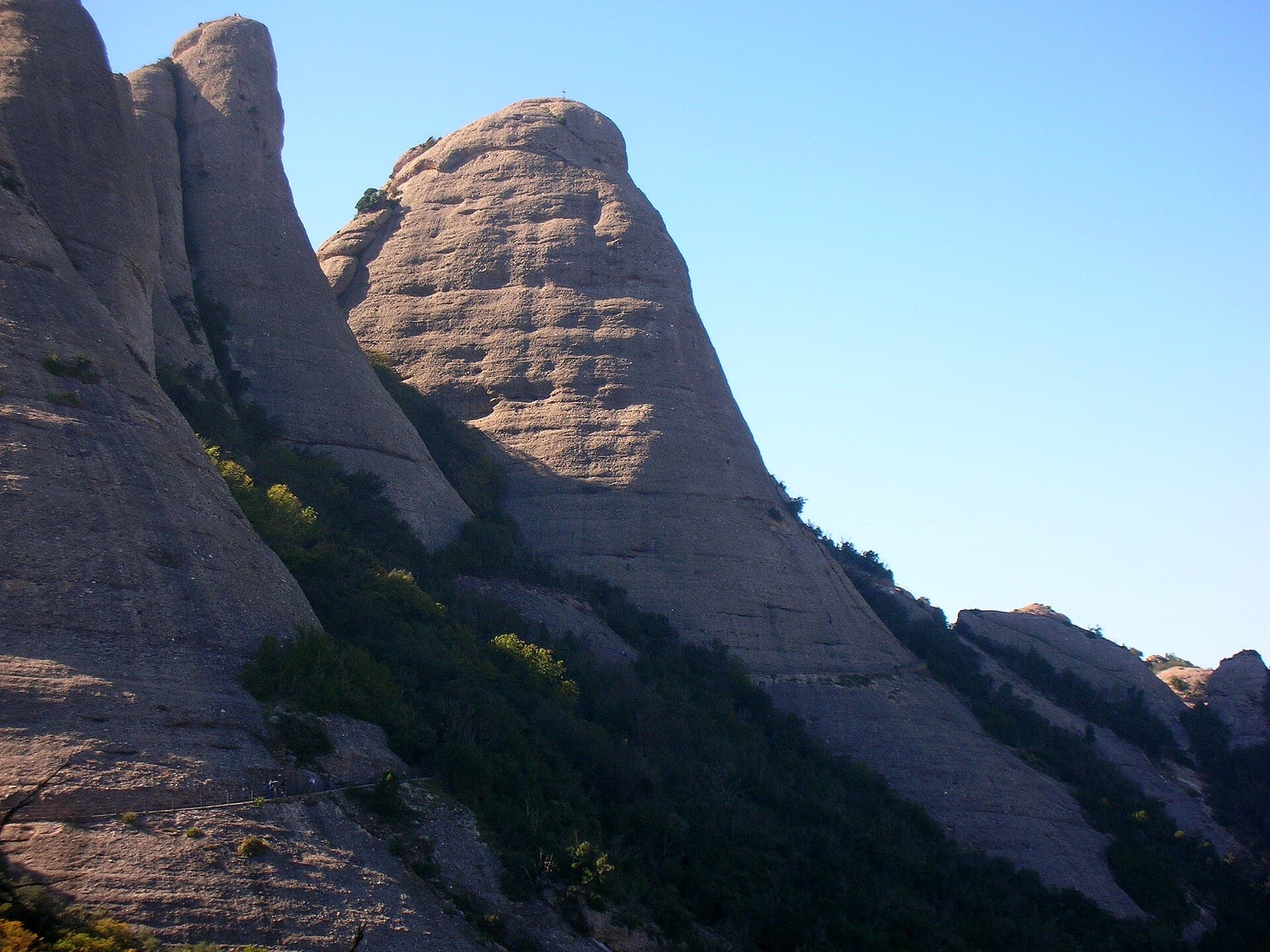
A straightforward line up the 'Phrygian cap' visible from the monastery. Only the short vertical step on pitch 3 is sustained. It is a good route for learning Montserrat pebble technique and has a summit cross with a big view. The approach takes about 10 min from the Sant Joan funicular top.
5c5 pitches140 m
Spain · Montserrat
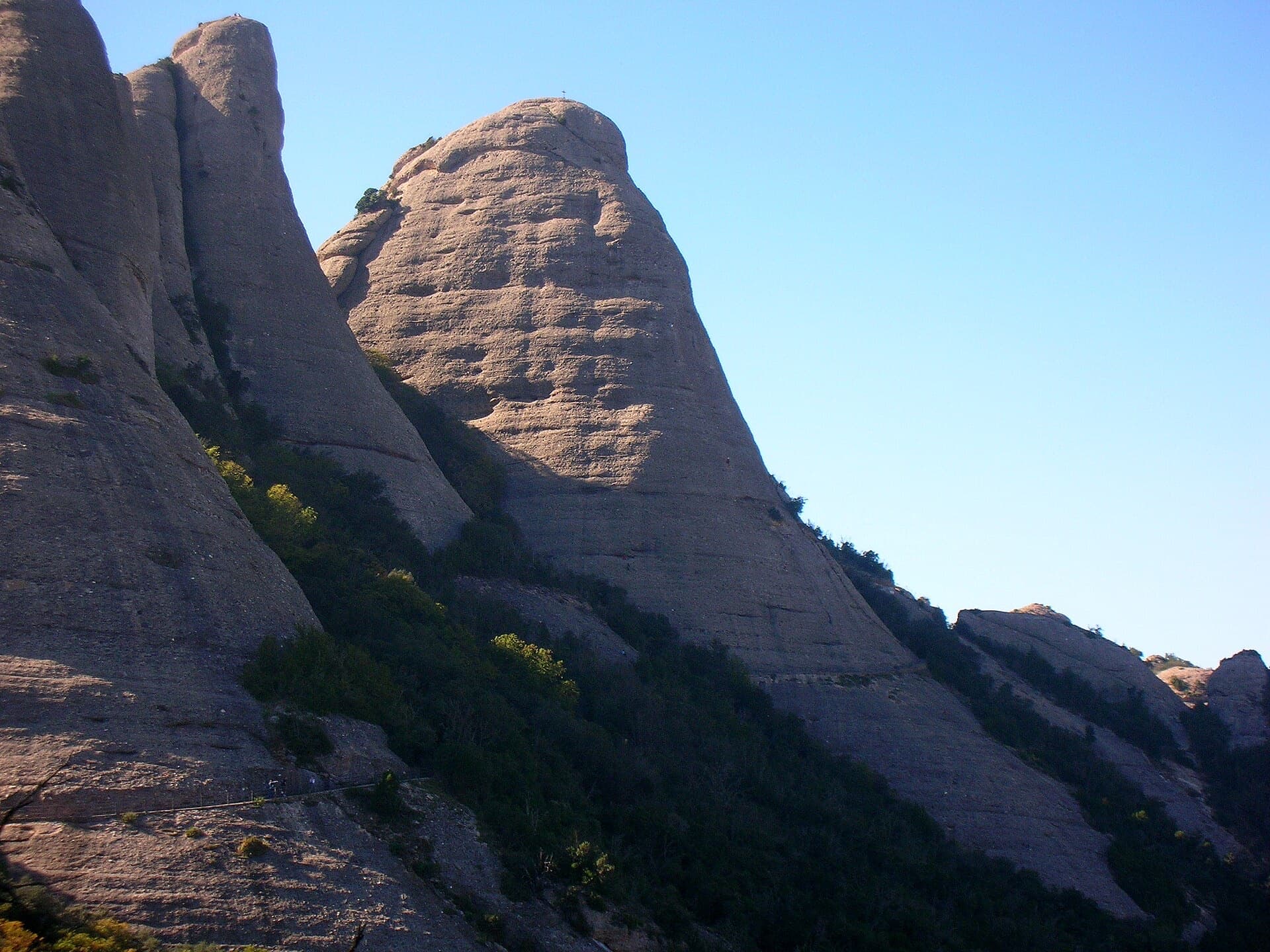
A shady north-face outing that suits warm days. Steady 5c pebble climbing leads to a short overhang crux (6a, or 5c/A0) and the summit cross.
6a4 pitches120 m
Spain · Montserrat
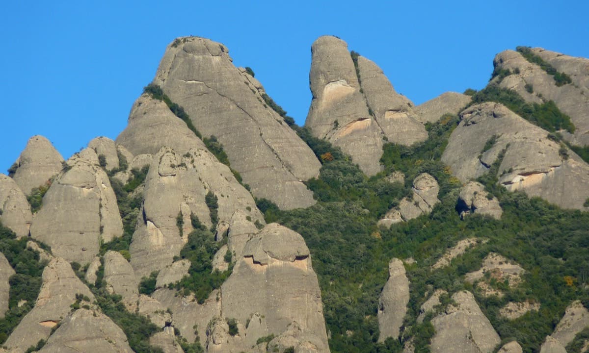
An exposed, airy line with unusually good holes and jugs for Montserrat, shaded in the afternoon. The 6a pitch is a sustained vertical 20 m. Going straight up instead of following the line is closer to 6b+.
6a4 pitches140 m
Around 6a+ · about 5 pitches
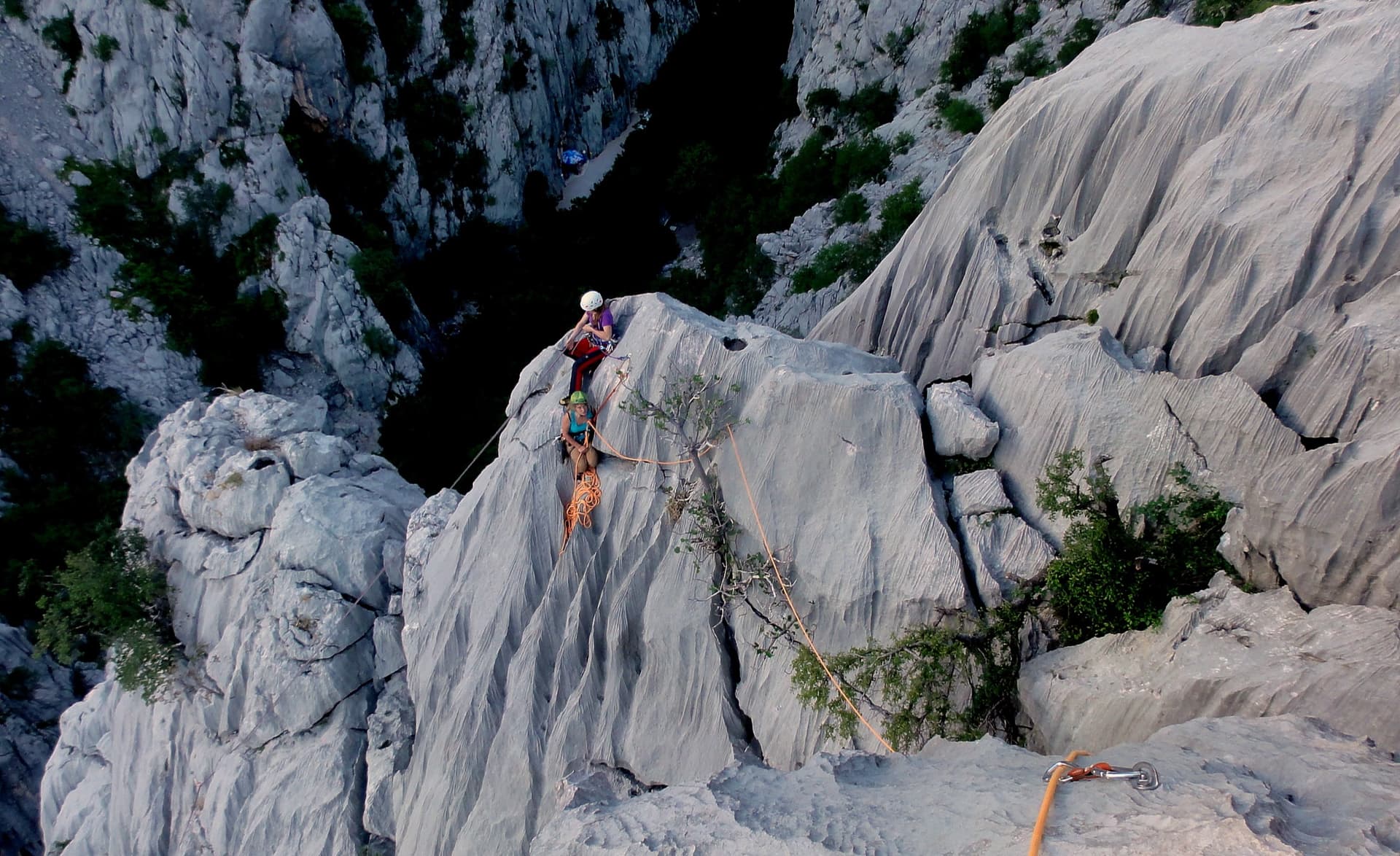
Croatia · Paklenica
A short, high-quality modern line: a clean straight first pitch, then a steep crack crux and magnificent water grooves.
6a+5 pitches100 m
Read the cautions
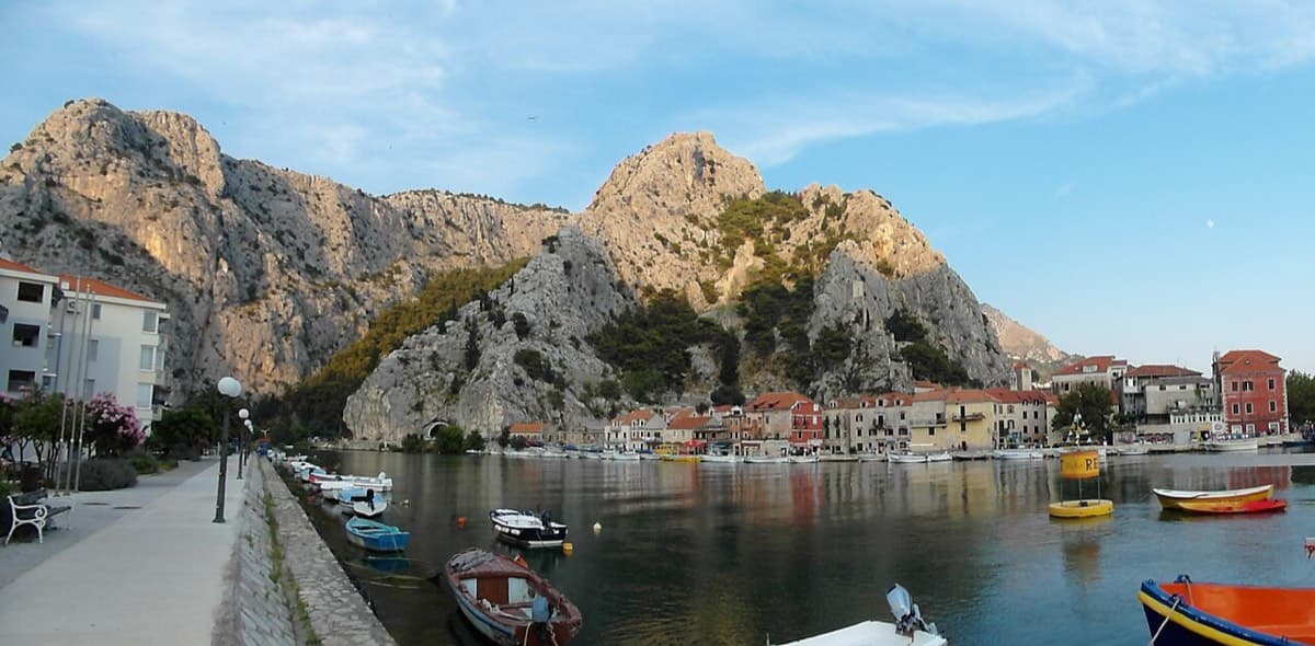
Croatia · Omiš
Sharp, coral-like rock mixing slab and steep juggy walls, finishing up a crack system. It has the best views in Omiš, over the sea, the river and the old town.
6a+5 pitches200 m
Read the cautions
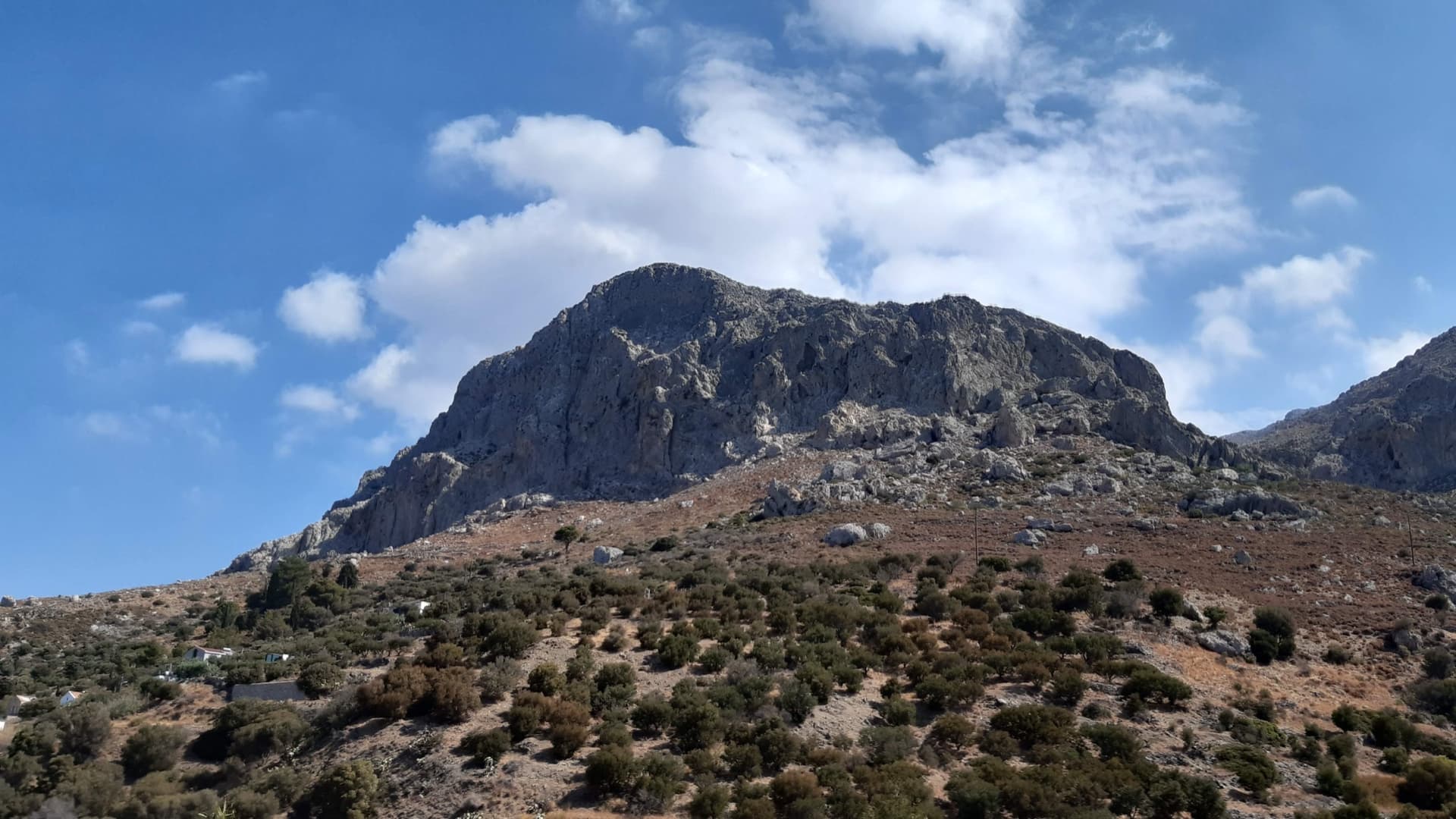
Greece · Kalymnos & Telendos
A varied, consistently sustained line on good rock with long pitches (25–38 m): vertical walls and a superb corner on P3. Quieter than the Masouri classics.
6a+5 pitches200 m
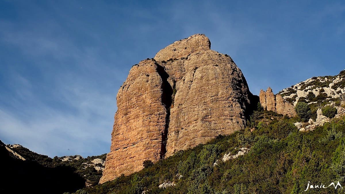
Spain · Riglos & Agüero (Mallos)
Five 25 m pitches right of the deep groove on the Colorado, joining Anorexia for the last one. Mediocre rock low on the first pitch.
6a+5 pitches125 m
Read the cautions
Compiled from published sources and last verified October 2026. Bolts, anchors and access change. Climbing is dangerous and you are responsible for your own decisions: check a current topo and read the disclaimer.