Multipitch Atlas

Voie Frison-Roche

Le Brévent (Aiguilles Rouges) · Chamonix valley · France

Bail not documentedBolting confidence: high

The great classic of the Aiguilles Rouges: six varied pitches of gneiss, ten minutes downhill from the Brévent cable car and finishing at its top station, with Mont Blanc opposite. The crux is a short, physical corner crack and the last pitch is a long, clean corner. It is extremely popular.

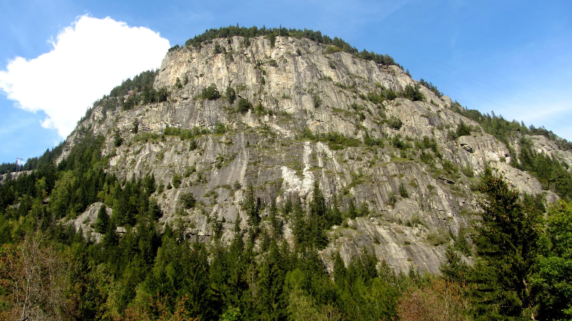
The summit of Le Brévent and the rock face beneath its cable-car station, seen from the Chamonix valley; the Voie Frison-Roche climbs this south-east face, the exact line is not marked.Photo: Guilhem Vellut · CC BY 2.0

Photo

The summit of Le Brévent and the rock face beneath its cable-car station, seen from the Chamonix valley; the Voie Frison-Roche climbs this south-east face, the exact line is not marked.Photo: Guilhem Vellut · CC BY 2.0
Hardest pitch
6a+
Pitches
6
Length
200 m
Approach
10 min
Aspect
SE
South-east-facing
Rope
1×50 m
walk-off

The route

Overview

The Frison-Roche climbs the south-east face of the Brévent in six pitches: a steep pillar, a rising traverse on a green slab, a chimney-corner, grey slabs leading to a vertical corner crack (the crux), a walking link along a ledge and a long corner to the top. The approach and return are as short as they come, which makes the route very busy; reports describe queues before the last pitch in high summer. The climbing is good from pitch 3 onwards. Come out of season or at off-peak hours if you can.

In pictures

Photos

Approach photo

The climbing

Pitch by pitch

Pitches of Voie Frison-Roche
PitchGradeLengthNotes
P16a45 mTake the left-hand line of bolts up a steep pillar (5b), cross a smooth slab with one move of 6a, avoidable on the left, then follow a ledge to belay below the next step. Watch the rope drag.
P25c35 mUp through broken blocks, then a rising traverse right across a green slab to a ledge. A local guide's topo gives 5b.
P35c30 mStraight up, then the obvious chimney-corner to a good terrace at its top.
P46a+40 mRight onto the spur and up fine grey slabs, move right (5c), then 10 m of wide crack in a vertical corner: the crux, physical and well equipped. Belay on a wide terrace. The guide's topo gives 6a.
P52–A walking link: go left around the smooth wall of the direct finish (7b) to the foot of the big cracked corner. Clip the bolts on the ledge so the rope does not dislodge stones.
P65c+35 mA magnificent long, continuous cracked corner to the top.

Getting there

Approach

To the parking

Take the Brévent lift from Chamonix: gondola to Planpraz, then cable car to the summit (2525 m). The lower station is up the steep road beside the church; there is paid covered parking and a shuttle from the town centre. A party in August 2026 paid 43 euros per person. Camptocamp mentions a special climbers' fare (up to the Brévent, down from Planpraz).

On foot · about 10 min

About 10 min, downhill. From the top station go down the Charles Bozon piste, pass the Brèche du Brévent and, between the second and third hairpins, turn right into the scree to pick up a steep path (visible from the cable car) that crosses a gully and leads along the foot of the face. The start is at the foot of a small spur almost level with the path, with one bolt to clip in to; do not go too low.

Finding the route · 1 photo

Approach photo

Map of the walk-in

  • Crag
  • Parking

Loading map

The point marks the crag, not the exact start of the route.

Coordinates · crag

45.93393, 6.83783

Parking

45.93366, 6.83745

Téléphérique du Brévent (camptocamp access point)

Point from camptocamp waypoint 39717

For your phone or watch

Download GPX

Contains the route point and parking. Opens in most mapping apps and GPS watches.

Points are compiled from published sources, with the precision stated above. They were not surveyed on the ground: check them against a current topo.

Getting down

Descent

From the top of the route it is about two minutes to the cable car station.

Retreat

Bailing off the route

Bail not documented

Retreat is not documented: every source describes finishing at the cable car. The belays are bolted, but nobody says whether they are rigged for abseiling, and with the single 50 m rope the route is normally climbed on you could not abseil the 35 to 45 m pitches in one go. Once you are on the terrace above pitch 4 the top is one walking pitch and one 5c+ pitch away.

Retreat from
Not documented.
Point of no return
Not documented. Pitch 2 traverses right, which would complicate abseiling from above it.
Carry
If you want the option, two ropes and some maillons and cord. The foot of the route is below the cable car, so a retreat also means walking back up the piste.
Basis
Inferred from the route factsCamptocamp and Passion Alpes give pitch lengths, a single 50 m rope and a walk-off; neither mentions abseiling.

Partly inferred from the route facts

Safety

Hazards

  • A few holds are still loose.
  • Stones lie at the top of pitch 1 and on the terrace before the last pitch; the ropes of parties above can dislodge them.
  • The gully to the right of the starting spur channels stonefall from parties on neighbouring routes. Do not wait in its line, and take care not to knock stones down the approach gully, which other parties use.
  • Crowding: several ropes at each belay is normal in July and August.
  • At 2500 m afternoon thunderstorms arrive fast; one 2026 party raced the route in 1 h 30 min ahead of one.

Sun and weather

Conditions

South-east facing at 2300 to 2525 m. Late in the season the sun leaves at about 14:00 and pitch 4 is in shade. The route depends on the cable car, which camptocamp says opens at 8:00 or 8:30 in summer; trip reports run from late June to early September.

Usual season · Jun to Sep

Sun on the wall · SE-facing

Working out the sunlit hours for this month.

  • January: not yet worked out
  • February: not yet worked out
  • March: not yet worked out
  • April: not yet worked out
  • May: not yet worked out
  • June (usual season): not yet worked out
  • July (usual season): not yet worked out
  • August (usual season): not yet worked out
  • September (usual season): not yet worked out
  • October: not yet worked out
  • November: not yet worked out
  • December: not yet worked out

Sun on the wallDaylight, wall in shade● Usual season

Estimated from the wall's aspect only. Ignores surrounding terrain, gullies and the wall's exact shape. Clock times are local to the wall (Central European time), for the 15th of each month.

Monthly climate averages for Chamonix valley, 1991-2020
MeasureJanFebMarAprMayJun (usual season)Jul (usual season)Aug (usual season)Sep (usual season)OctNovDec
Mean daily high °C−4−31481315151281−4
Mean daily low °C−12−11−8−5−04663−1−7−11
Rain days 1 mm or more131213141919181715131414

● marks the usual climbing season. Averages for 1991-2020 at about 2011 m. Area climate from Open-Meteo reanalysis. Temperatures are adjusted to the height of the crag; rain comes from a grid cell of about 10 to 25 km, and summer highs on sea cliffs can read a few degrees low. The wall and valley can differ. Data: Open-Meteo, CC BY 4.0.

What to carry

Gear

A 50 m rope and 12 quickdraws, some extendable (a local guide suggests 11). Helmet.

Checklist

Quickdraws
12
Rope
1×50 m (walk-off)
Helmet
One each
Maillons or spare karabiners
To leave behind if you retreat
Cord
Mentioned for retreat

Derived from the route data; check it against a current topo

From climbers

Reader reports

Reader reports are not being collected yet. Until they are, check a current topo and the local club or guidebook publisher for recent changes to Voie Frison-Roche.

Worth knowing

Tips

  • Allow 2 to 3 hours on the route.
  • The 6a move on pitch 1 can be avoided on the left.
  • Being on the first cable car helps, but so does coming late in the day or out of the main season.
  • The route combines with others on the Brévent, such as Catyouchaman lower down, for a longer day.

Open questions

Where sources disagree

  • Grades: camptocamp gives 6a, 5c, 5c, 6a+, 2, 5c+ (6a+ overall, 5c+ obligatory); the Passion Alpes guide's topo gives 6a, 5b, 5c, 6a, 2, 5c (6a overall, 5c obligatory).
  • Quickdraws: 12 on camptocamp, 11 on Passion Alpes.

Provenance

Sources

Same area

More in Chamonix valley

All routes in Chamonix valley
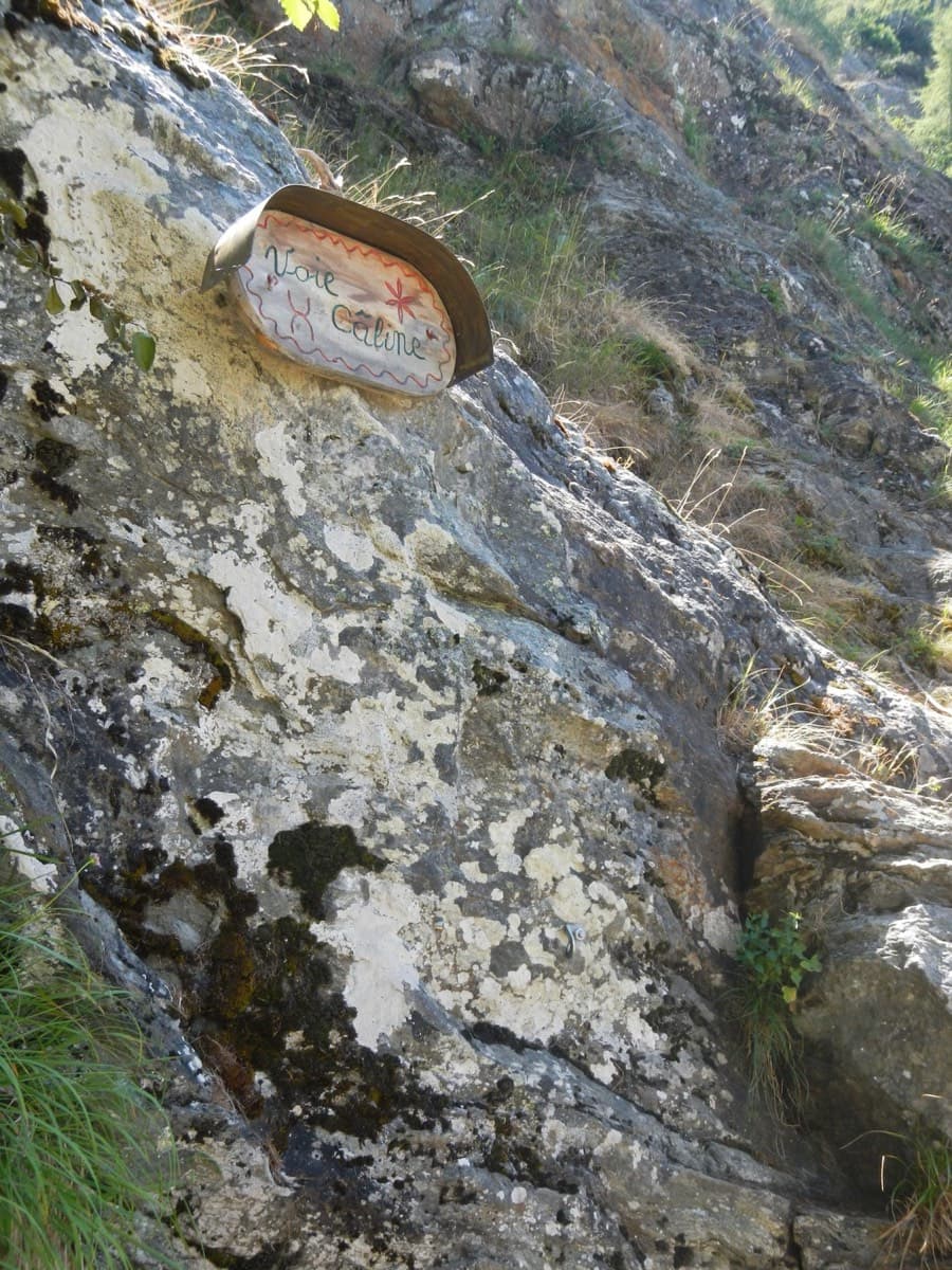
The painted sign marking the start of the Voie Câline on the Rocher des Mottets

France · Chamonix valley

Voie Câline

Nineteen very short pitches of easy slab above Les Bois, never harder than 4b and bolted like a climbing school. It is the standard first multipitch of the Chamonix valley, long enough to feel like a real outing and finishing at a mountain café with a view of the Mer de Glace.

4b19 pitches260 m
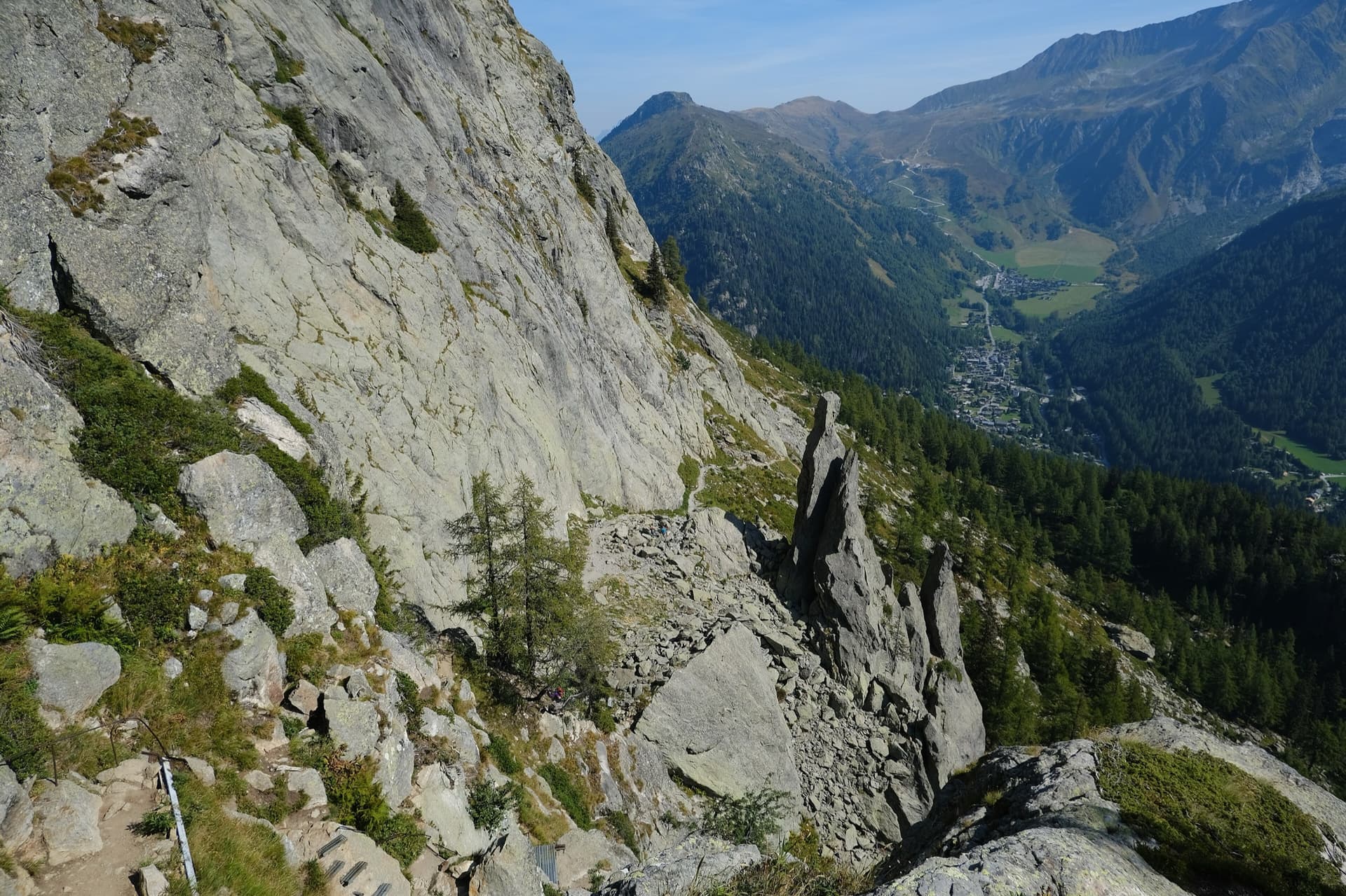
The gneiss slabs of Les Chéserys beside the Lac Blanc path, with the pinnacle of the Aiguillette d'Argentière and the village of Argentière below; the Voie Jaune is on these slabs, its exact position is not marked.

France · Chamonix valley

Voie Jaune

A short, friendly slab route on the sunny gneiss of the Chéserys, facing the Mont Blanc range. Five pitches with one vertical step of 4c, chain belays and an abseil descent make it a standard introduction to multipitch climbing.

4c5 pitches150 m

The Barberine cliff above the spruce forest at Vallorcine; Méduse climbs this wall, the line is not marked.

France · Chamonix valley

Méduse

A direct line up the big south-facing slabs of Barberine: three pitches of friction slab to warm up, then steeper, technical walls on small holds. The two top pitches are graded 6b+ and 6c+ if you step round the bolts and 7a if you climb straight up them; 6c is obligatory.

7a7 pitches230 m

Around 6a+ · about 6 pitches

Similar elsewhere

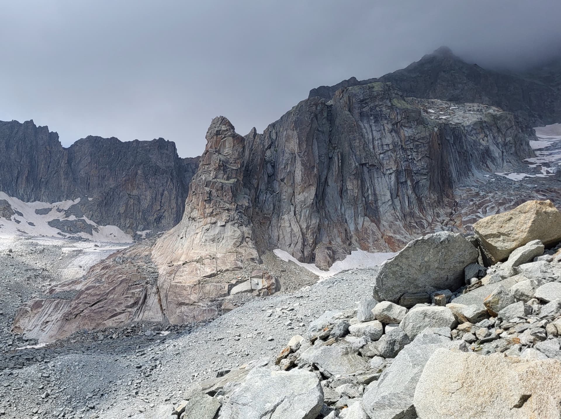
The Hannibalturm, a granite tower standing in front of the walls of the Gross Bielenhorn above the Sidelen glacier.

Switzerland · Furka

Conquest of Paradise

The classic of the Hannibalturm: six short, wandering pitches of slab, quartz veins, cracks and a 6a+ slab crux on perfect high-mountain granite at 2800 m. A bench and a bus-stop sign wait on the summit. Very popular, so expect company.

6a+6 pitches180 m

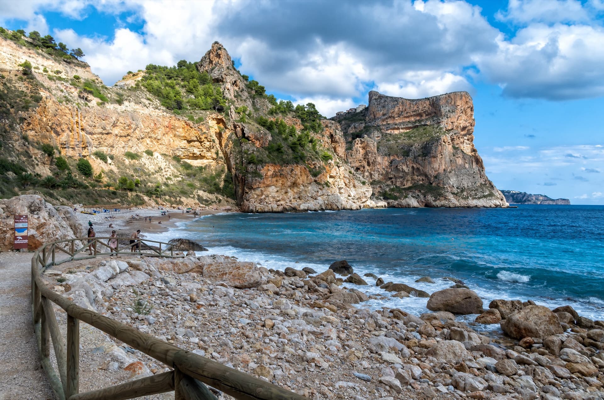
The flat-topped sea cliff of Morro Falquí closing the south end of Cala del Moraig, Benitatxell. Sonjannika climbs on this headland; the line cannot be pointed to from here.

Spain · Costa Blanca (Morro Falquí)

Sonjannika

A superb sea-cliff multipitch. P4 makes an impressive exposed exit from a cave with 100 m of air below, and the 6a+ P5 has a chimney and fingery slab. Balancy, airy and great for introducing someone to multipitch.

6a+6 pitches170 m

Read the cautions

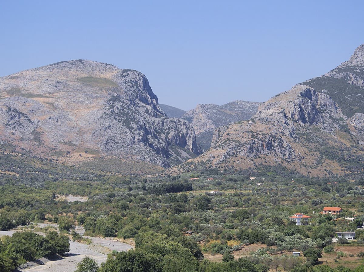
The Manikiatis gorge at Manikia, Evia, seen from Ano Monodry

Greece · Manikia (Evia)

Efcharístisi

An even-graded route in a beautiful gorge setting: pocketed and sculpted slabs below, steeper walls above, with one athletic 6a+ move on P5. There are short walking transitions between the lower tiers.

6a+6 pitches200 m

Climber on Water Song, Veliki Ćuk, with the Paklenica gorge behind

Croatia · Paklenica

Water Song

Classic Paklenica water-groove climbing on beautifully sculpted rock. The crux is a rising crack traverse on P5, with delicate slab moves above.

6a+6 pitches160 m

Read the cautions

Compiled from published sources and last verified October 2026. Bolts, anchors and access change. Climbing is dangerous and you are responsible for your own decisions: check a current topo and read the disclaimer.