Multipitch Atlas

Voie Câline

Rocher des Mottets · Chamonix valley · France

Bail with caveatsBolting confidence: high

Nineteen very short pitches of easy slab above Les Bois, never harder than 4b and bolted like a climbing school. It is the standard first multipitch of the Chamonix valley, long enough to feel like a real outing and finishing at a mountain café with a view of the Mer de Glace.

The painted sign marking the start of the Voie Câline on the Rocher des MottetsPhoto: Céline Stern-Kiener · CC BY-SA 3.0

Photo

The painted sign marking the start of the Voie Câline on the Rocher des MottetsPhoto: Céline Stern-Kiener · CC BY-SA 3.0
Hardest pitch
4b
Pitches
19
Length
260 m
Approach
45 min
Aspect
W
West-facing
Rope
1×30 m
walk-off

The route

Overview

The Voie Câline climbs the most continuous slabs on the west side of the Rocher des Mottets, the rocky shoulder below Montenvers, in 19 pitches of 15 to 25 m. The climbing is not sustained and the hardest moves are 4b. The line is obvious and closely bolted, which is why clubs and guides use it for a first multipitch and for practising moving together. You top out a few minutes from the Buvette des Mottets and walk down.

The climbing

Pitch by pitch

Pitches of Voie Câline
PitchGradeNotes
P1–One of the opening pitches, which go straight up the slabs. The rock here can be damp or mossy; a 2026 party found these pitches harder than their grade when slippery.
P2–One of the opening pitches, which go straight up the slabs. The rock here can be damp or mossy; a 2026 party found these pitches harder than their grade when slippery.
P3–One of the opening pitches, which go straight up the slabs. The rock here can be damp or mossy; a 2026 party found these pitches harder than their grade when slippery.
P4–Traverse right across the slabs towards the easy-angled central section.
P5–Traverse right across the slabs towards the easy-angled central section.
P6–Easy-angled slabs in the central section, which most parties climb moving together, clipping the bolts and belays as they pass.
P7–Easy-angled slabs in the central section, which most parties climb moving together, clipping the bolts and belays as they pass.
P8–Easy-angled slabs in the central section, which most parties climb moving together, clipping the bolts and belays as they pass.
P9–Easy-angled slabs in the central section, which most parties climb moving together, clipping the bolts and belays as they pass.
P10–Easy-angled slabs in the central section, which most parties climb moving together, clipping the bolts and belays as they pass.
P11–Easy-angled slabs in the central section, which most parties climb moving together, clipping the bolts and belays as they pass.
P12–Easy-angled slabs in the central section, which most parties climb moving together, clipping the bolts and belays as they pass.
P13–Easy-angled slabs in the central section, which most parties climb moving together, clipping the bolts and belays as they pass.
P14–The final pitches steepen a little into short steps; sources agree this is the most enjoyable climbing, more open and sunny.
P15–The final pitches steepen a little into short steps; sources agree this is the most enjoyable climbing, more open and sunny.
P16–The final pitches steepen a little into short steps; sources agree this is the most enjoyable climbing, more open and sunny.
P17–The final pitches steepen a little into short steps; sources agree this is the most enjoyable climbing, more open and sunny.
P18–The final pitches steepen a little into short steps; sources agree this is the most enjoyable climbing, more open and sunny.
P19–The final pitches steepen a little into short steps; sources agree this is the most enjoyable climbing, more open and sunny.

Getting there

Approach

To the parking

From Chamonix go to Les Praz and, at the entrance to the village, turn right to the car park beside the Les Bois helicopter landing zone. Les Praz de Chamonix has a railway halt and a bus stop. Geneva is the usual airport.

On foot · about 45 min

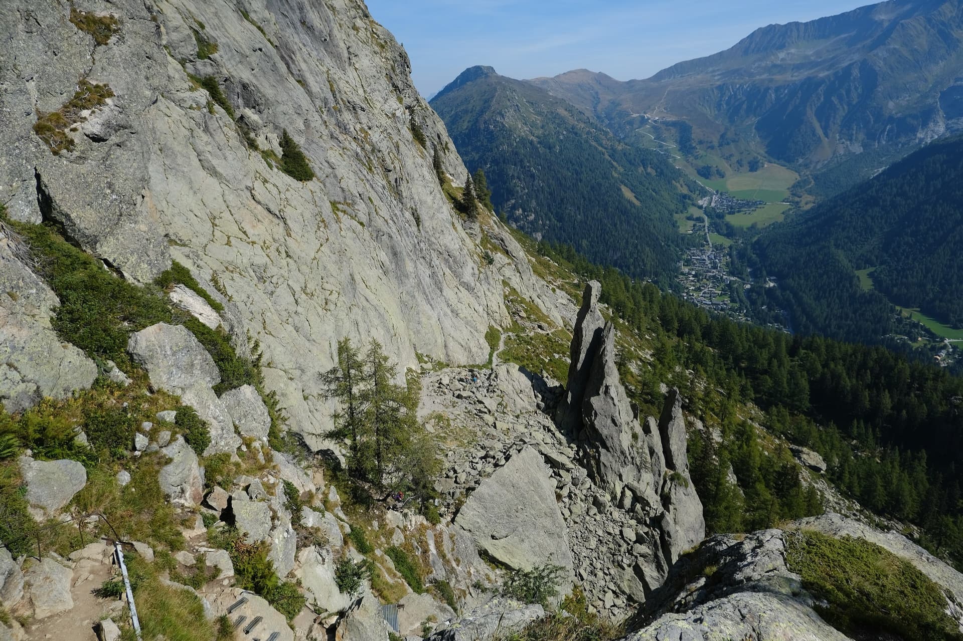
About 45 min to 1 h and 250 to 300 m of ascent. From Les Bois cross the Arveyron and follow the wide marked track on its left bank (chemin du Granite) to the 'Norvège' sign, where the via corda starts. Take the narrower path that climbs right in wide zigzags, pass the start of the route 'Princesse' (a curved dead tree), and soon after take a steep path on the right with cables and metal steps towards a small EDF building. The route starts beside the cables, with bolts visible on the right and a painted sign. If you reach a metal ladder you have gone about 30 m too far.

Finding the route · 1 photo

Approach photo

Map of the walk-in

  • Crag
  • Parking
  • GPS line

Loading map

The point marks the crag, not the exact start of the route.

GPS line: a line of the whole day, including the climb and the descent drawn by its source, not a recorded track. Line attached to the camptocamp route page: up from Les Bois to the Rocher des Mottets, the climb, and a descent towards Chamonix. Do not follow it blindly.

GPS line: camptocamp.org contributors · CC BY-SA 3.0

Coordinates · crag

45.93961, 6.91744

Parking

45.94389, 6.90083

Les Bois (camptocamp waypoint 104388)

Point from camptocamp waypoint 157848

For your phone or watch

Download GPX

Contains the route point, parking and a GPS line. Opens in most mapping apps and GPS watches.

Points are compiled from published sources, with the precision stated above. They were not surveyed on the ground: check them against a current topo.

Getting down

Descent

From the last belay follow cairns and faint paths, broadly south, to the Buvette des Mottets. Take the wide path down towards Chamonix and leave it at a signpost for the path back to Les Bois. Allow 45 min to 1 h.

Retreat

Bailing off the route

Bail with caveats

No source describes a retreat, but every pitch is 15 to 25 m long and ends at a two-bolt belay. The belay bolts are not linked and nothing says they carry abseil rings, so expect to leave a sling and a maillon at each station. The easy-angled central section may allow you to walk off sideways, but that is not documented.

Retreat from
Any belay, in short abseils (inferred from the pitch lengths and bolted belays).
Point of no return
None documented. Pitches 4 and 5 traverse right, which complicates abseiling the lowest section.
Carry
A rope long enough to abseil a 25 m pitch (a 30 m rope is not), plus slings and maillons to leave.
Basis
Inferred from the route factsCamptocamp and Gulliver state the pitch lengths and unlinked bolted belays; neither mentions abseiling or escape.

Partly inferred from the route facts

Safety

Hazards

  • The first two or three pitches can be damp and mossy and feel harder than their grade when wet.
  • A 2025 report mentions a few bolts that move.
  • The belay bolts are not linked; you must join them yourself.
  • The route is popular with groups, so expect company at the belays.

Sun and weather

Conditions

West-facing at 1380 to 1640 m. The route is in shade in the morning and gets the sun at about 11:00 in August. The lower pitches hold damp and moss after rain. Parties report ascents from April to October.

Usual season · May to Oct

Sun on the wall · W-facing

Working out the sunlit hours for this month.

  • January: not yet worked out
  • February: not yet worked out
  • March: not yet worked out
  • April: not yet worked out
  • May (usual season): not yet worked out
  • June (usual season): not yet worked out
  • July (usual season): not yet worked out
  • August (usual season): not yet worked out
  • September (usual season): not yet worked out
  • October (usual season): not yet worked out
  • November: not yet worked out
  • December: not yet worked out

Sun on the wallDaylight, wall in shade● Usual season

Estimated from the wall's aspect only. Ignores surrounding terrain, gullies and the wall's exact shape. Clock times are local to the wall (Central European time), for the 15th of each month.

Monthly climate averages for Chamonix valley, 1991-2020
MeasureJanFebMarAprMay (usual season)Jun (usual season)Jul (usual season)Aug (usual season)Sep (usual season)Oct (usual season)NovDec
Mean daily high °C−4−31481315151281−4
Mean daily low °C−12−11−8−5−04663−1−7−11
Rain days 1 mm or more131213141919181715131414

● marks the usual climbing season. Averages for 1991-2020 at about 2011 m. Area climate from Open-Meteo reanalysis. Temperatures are adjusted to the height of the crag; rain comes from a grid cell of about 10 to 25 km, and summer highs on sea cliffs can read a few degrees low. The wall and valley can differ. Data: Open-Meteo, CC BY 4.0.

What to carry

Gear

Eight quickdraws, more if you link pitches. A 30 m rope is enough if you stop at every belay; the Italian description suggests a single 60 m rope to link pitches in pairs. Slings to join the belay bolts. Helmet.

Checklist

Quickdraws
8
Rope
1×30 m (walk-off)
Helmet
One each
Slings
Mentioned for retreat
Maillons or spare karabiners
To leave behind if you retreat

Derived from the route data; check it against a current topo

From climbers

Reader reports

Reader reports are not being collected yet. Until they are, check a current topo and the local club or guidebook publisher for recent changes to Voie Câline.

Worth knowing

Tips

  • Link pitches in pairs or move together through the central section to keep the day short; one party took 2 h 10 min on the route that way.
  • Start early in hot weather or take sun protection: the slabs are in full sun from late morning.
  • The Buvette des Mottets at the top serves drinks in season.

Open questions

Where sources disagree

  • Aspect: the French camptocamp text and Gulliver say west; the English and Spanish camptocamp texts say north.
  • Length: camptocamp gives 260 m of height for the climbing; Gulliver gives 400 m of climbing length.
  • Grade: camptocamp rates the route 4b; Gulliver calls it grade 3 and a 2026 party mentions 3c in some topos.
  • No source publishes a grade or length for each pitch, so the pitch list here gives none.

Provenance

Sources

Same area

More in Chamonix valley

All routes in Chamonix valley
The gneiss slabs of Les Chéserys beside the Lac Blanc path, with the pinnacle of the Aiguillette d'Argentière and the village of Argentière below; the Voie Jaune is on these slabs, its exact position is not marked.

France · Chamonix valley

Voie Jaune

A short, friendly slab route on the sunny gneiss of the Chéserys, facing the Mont Blanc range. Five pitches with one vertical step of 4c, chain belays and an abseil descent make it a standard introduction to multipitch climbing.

4c5 pitches150 m

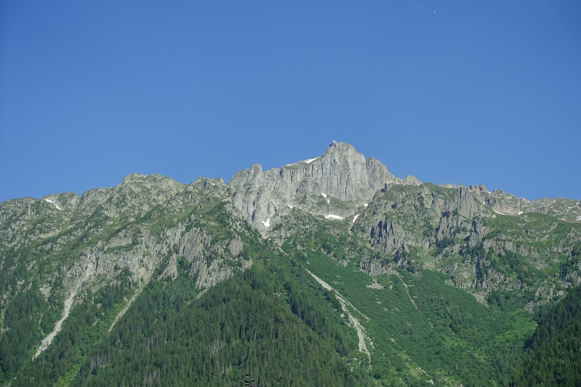
The summit of Le Brévent and the rock face beneath its cable-car station, seen from the Chamonix valley; the Voie Frison-Roche climbs this south-east face, the exact line is not marked.

France · Chamonix valley

Voie Frison-Roche

The great classic of the Aiguilles Rouges: six varied pitches of gneiss, ten minutes downhill from the Brévent cable car and finishing at its top station, with Mont Blanc opposite. The crux is a short, physical corner crack and the last pitch is a long, clean corner. It is extremely popular.

6a+6 pitches200 m

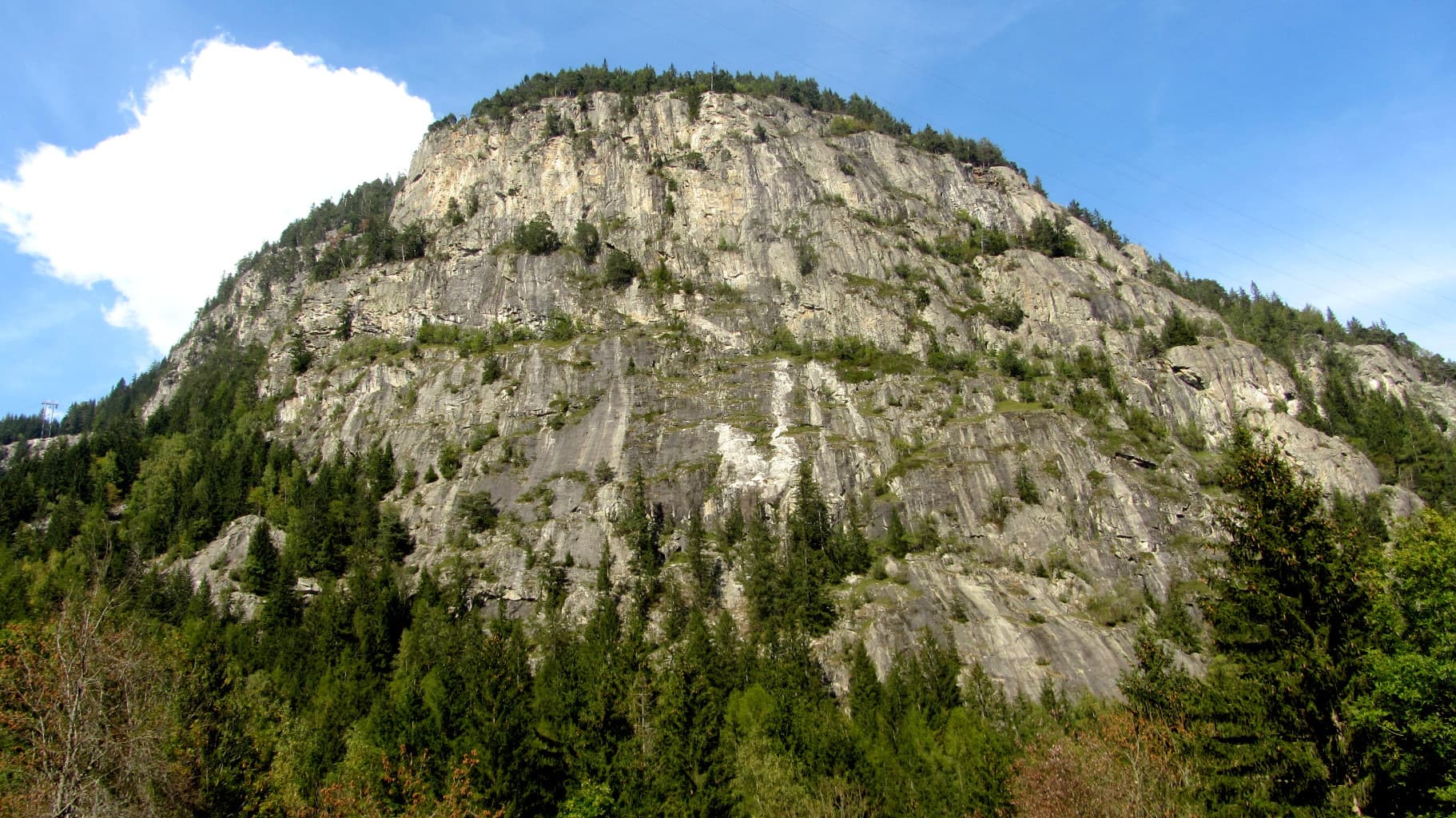
The Barberine cliff above the spruce forest at Vallorcine; Méduse climbs this wall, the line is not marked.

France · Chamonix valley

Méduse

A direct line up the big south-facing slabs of Barberine: three pitches of friction slab to warm up, then steeper, technical walls on small holds. The two top pitches are graded 6b+ and 6c+ if you step round the bolts and 7a if you climb straight up them; 6c is obligatory.

7a7 pitches230 m

Around 4b · about 19 pitches

Similar elsewhere

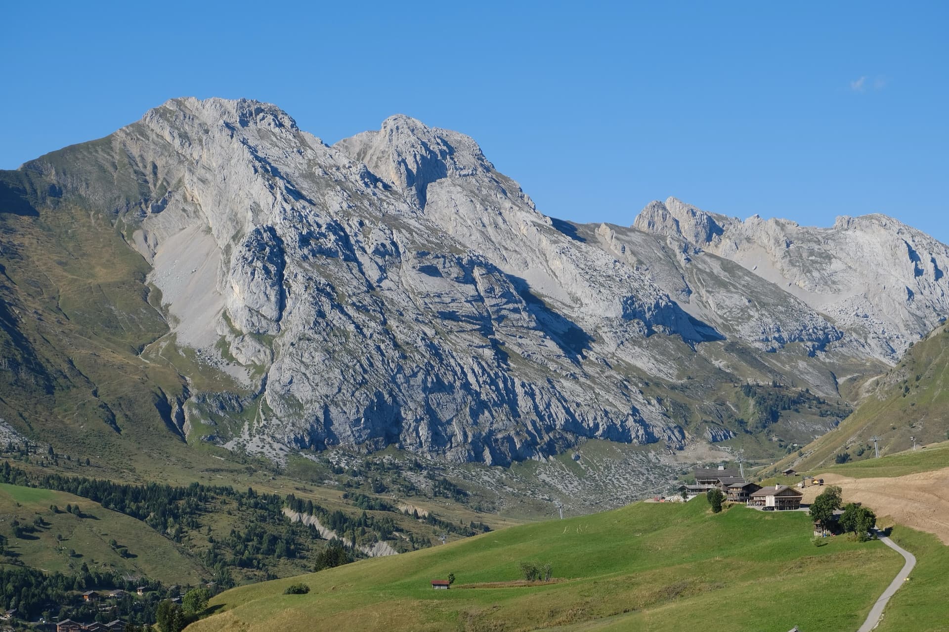
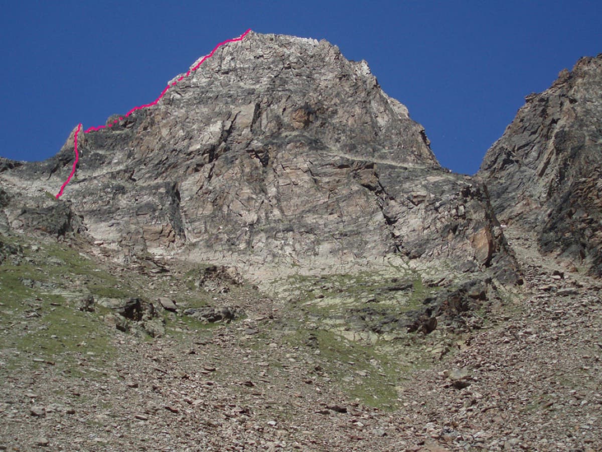
The south face of the Pic de Jallouvre (left summit) and the Pointe Blanche above the chalets of Le Grand-Bornand, on the road to the Col de la Colombière; the Voie des Cristaux climbs the right-hand side of the Jallouvre face.

France · Aravis

Voie des Cristaux

Sixteen pitches of easy slabs and water-worn runnels above the Col de la Colombière, on the border between scrambling, climbing and mountaineering. Nothing is harder than 4b and most of it is grade 3, on sculpted, grippy limestone among ibex and edelweiss. Many parties carry on up the Arête des Bouquetins to the summit for a very long day.

4b16 pitches400 m

The Jegihorn from the south with the line of the Südkante drawn along the left-hand skyline

Switzerland · Saas Valley

Südkante (South Ridge)

The left edge of the Jegihorn's south face: a 1922 ridge climb turned into a bolted outing of many short pitches, mostly grade 3 and 4. The one real step is the red gendarme, a well-bolted pitch of 5a. More varied than Alpendurst, with slabs, a short steep wall and narrow sections of crest, and a summit finish at 3206 m.

5a18 pitches300 m

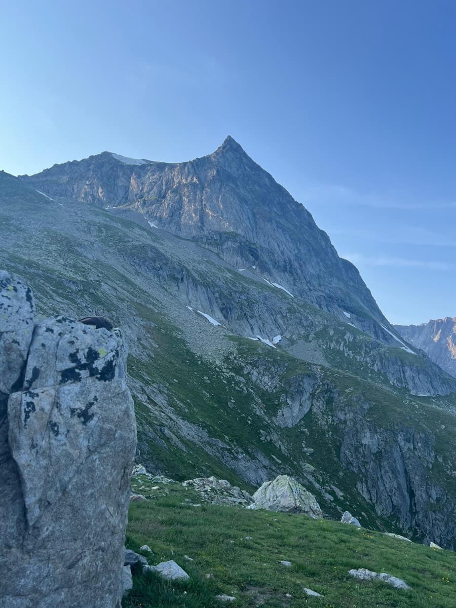
The Wiwannihorn from near the hut; the east ridge is the right-hand skyline

Switzerland · Wiwanni (Baltschiedertal)

Ostgrat (East Ridge)

A 17-pitch bolted ridge to a 3001 m summit. Three slab and wall pitches of 5a and 5b come first, then a long run of grade 3 and 4 on the crest that many parties climb moving together, with one fine 5a in the middle. A full mountain day: the summit ridge beyond the last bolt and the scrambling descent are part of it.

5b17 pitches400 m

Read the cautions

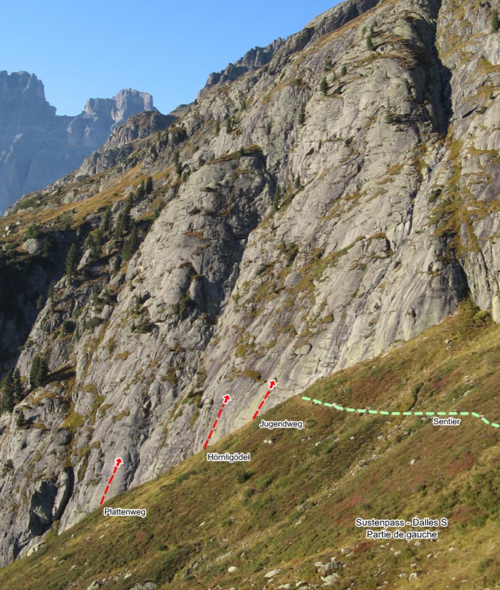
Left side of the Sustenpass south slabs with the starts of Plattenweg, Hörnligödel and Jugendweg marked

Switzerland · Susten

Jugendweg

Seven easy, unsustained pitches of edged slab on the left side of the Steingletscher slabs, never harder than 4b. The line is obvious and the glacier scenery is the main event. A good first multipitch, and easy to pair with a neighbouring route the same day.

4b7 pitches200 m

Compiled from published sources and last verified October 2026. Bolts, anchors and access change. Climbing is dangerous and you are responsible for your own decisions: check a current topo and read the disclaimer.