Multipitch Atlas

Conquest of Paradise

Hannibalturm · Furka · Switzerland

Bail with caveatsBolting confidence: high

The classic of the Hannibalturm: six short, wandering pitches of slab, quartz veins, cracks and a 6a+ slab crux on perfect high-mountain granite at 2800 m. A bench and a bus-stop sign wait on the summit. Very popular, so expect company.

The Hannibalturm above the Sidelen glacier, FurkaPhoto: alexduchablais · CC BY-SA 3.0

Photo

The Hannibalturm above the Sidelen glacier, FurkaPhoto: alexduchablais · CC BY-SA 3.0
Hardest pitch
6a+
Pitches
6
Length
180 m
Approach
75 min
Aspect
S
South-facing
Rope
Two ropes
(a 2026 party used 2×60 m); abseil lengths are marked at each station

The route

Overview

Conquest of Paradise is the most popular route on the Hannibalturm, a free-standing granite tower beside the Sidelen glacier above the Furka Pass. It weaves up the south face in six pitches of 25 to 30 m: slab, traverses on quartz veins, a short steep corner crack, and a slab crux of 6a+ reached by turning a rib. The rock is superb and the route is fully bolted, though the bolts are a few metres apart on the easier ground. Several other routes cross the line, and parties regularly stray onto much harder pitches. On the summit there is a rest area with a bench and a bus-stop sign.

The climbing

Pitch by pitch

Pitches of Conquest of Paradise
PitchGradeNotes
P15cSlab more or less straight up, finishing with a traverse right. Some find it a disconcerting start.
P25cA rising traverse right on quartz veins, then back left.
P35bA rising traverse left, then a short steep corner crack. Extend your quickdraws to limit rope drag.
P45c+Go left, following the painted 'Sebi', and climb a crack more or less straight up. The original line is out left behind the pillar; straight up from the belay is a different pitch at about 6b+ (some call it 7a with aid). Following the 'FAM GNI' marks instead keeps the same grade and reaches the same belay.
P56a+Left again following 'Sebi': turn a rib and mantel onto a slab, the crux, with close bolts. Mountain Project gives 5c+ A0 pulling on two quickdraws. Easier steps follow.
P64cA short exit pitch shared with the other routes, to the summit and its bench.

Getting there

Approach

To the parking

The Furka Pass road links Andermatt (Uri) and the upper Rhône valley (Valais) and is open in summer only. Park at the Hotel Furkablick or at the parking beside the Sidelenbach stream on the pass road. By public transport take the train to Andermatt or Oberwald, then the bus to the Sidelenbach stop; camptocamp rates the service as poor. The Sidelenhütte (2708 m) is an hour from Sidelenbach and is wardened from late June to early October.

On foot · about 75 min

From the Hotel Furkablick take the marked path east towards the Sidelenhütte. After the bridge continue up the moraine; at its top, before reaching the hut, leave the path and head by sight for the base of the Hannibalturm. Gain the starting ledge from the right (east) by a short delicate passage. About 1 h 15, though parties who lose the cairns in the boulder field take 1 h 30. From the Sidelenhütte go north-west along the rock band behind the hut and cross moraines and the edge of the Sidelen glacier (cairns), about 15 minutes. The route names are written at the foot of the wall.

Finding the route · 3 photos

Approach photo

Map of the walk-in

  • Crag
  • Parking
  • GPS line

Loading map

The point marks the crag, not the exact start of the route.

GPS line: one party's recorded GPS track of the whole day, including the climb and the descent. One party's recorded day on 25 August 2026, starting and ending at the Sidelenhütte: walk to the Hannibalturm, climb and return (about 2 km). It does not cover the walk from the Furka road to the hut. Do not follow it blindly.

GPS line: Daniel Benito Natal, AlbertVuagniaux · CC BY-NC-ND 3.0

Coordinates · crag

46.59920, 8.41970

Parking

46.57639, 8.42146

Furkablick (camptocamp waypoint 569751)

Point from camptocamp waypoint 175119

For your phone or watch

Download GPX

Contains the route point, parking and a GPS line. Opens in most mapping apps and GPS watches.

Points are compiled from published sources, with the precision stated above. They were not surveyed on the ground: check them against a current topo.

Getting down

Descent

Do not abseil the route: ropes snag and the belays are crowded with ascending parties. Use the independent abseil line on the east side of the tower, following the plaques that give the length of each abseil at every station. The second abseil is free-hanging down the overhanging summit wall. A 2025 party took just over an hour from the summit to the foot of the abseils.

Retreat

Bailing off the route

Bail with caveats

Retreat down the route is possible from the bolted belays but discouraged: the pitches traverse, ropes snag and parties are usually climbing below you. Camptocamp suggests the belays of Fam Gni, which are more in line, as an alternative. The pitches are short (25 to 30 m), so each abseil is short too. Once on top, the independent abseil line on the east side is fast.

Retreat from
Any belay, ideally moving onto the straighter Fam Gni belays.
Point of no return
None stated. After the crux on pitch 5 only a short 4c pitch remains, so finishing is quicker.
Carry
Two ropes, plus a couple of maillons in case a belay is not rigged for abseiling.
Basis
Part stated, part inferredCamptocamp advises against abseiling the route and mentions the Fam Gni belays; how the belays on this route are rigged is not stated.

Partly inferred from the route facts

Safety

Hazards

  • Route finding. Kassensturz, Fam Gni and Magic Stone cross or share ground with this route, and parties in 2023 and 2026 ended up on pitches of 6b+ to 7a by mistake on pitch 4.
  • Rope drag on the traversing pitches.
  • Crowds: six or more parties on the route at once is normal in August, with queues at the belays and on the abseils.
  • Snow or glacier ice at the base early in the season, and an exposed step onto the starting ledge.
  • A 2024 party found a hanger missing at the second belay of the neighbouring Fam Gni.

Sun and weather

Conditions

South facing at about 2700 to 2900 m. The wall comes into the sun soon after you start and dries quickly: it was completely dry in August 2026 despite rain on the previous days. It is cold in the shade and when cloud comes in. In mid-August 2025 no axe or crampons were needed for the approach.

Usual season · Jul to Sep

Sun on the wall · S-facing

Working out the sunlit hours for this month.

  • January: not yet worked out
  • February: not yet worked out
  • March: not yet worked out
  • April: not yet worked out
  • May: not yet worked out
  • June: not yet worked out
  • July (usual season): not yet worked out
  • August (usual season): not yet worked out
  • September (usual season): not yet worked out
  • October: not yet worked out
  • November: not yet worked out
  • December: not yet worked out

Sun on the wallDaylight, wall in shade● Usual season

Estimated from the wall's aspect only. Ignores surrounding terrain, gullies and the wall's exact shape. Clock times are local to the wall (Central European time), for the 15th of each month.

Climate figures for Furka are not available yet

What to carry

Gear

12 quickdraws, several of them extendable, and two ropes for the abseils. Helmet. Camptocamp suggests a few nuts or small cams only if you are at your limit; recent parties who carried them say they were not needed. Early in the season take an ice axe in case of hard snow at the foot of the route.

Checklist

Quickdraws
12
Rope
Two ropes (a 2026 party used 2×60 m); abseil lengths are marked at each station
Helmet
One each
Abseil device and prusik
The descent or the retreat involves abseiling
Maillons or spare karabiners
To leave behind if you retreat

Derived from the route data; check it against a current topo

From climbers

Reader reports

Reader reports are not being collected yet. Until they are, check a current topo and the local club or guidebook publisher for recent changes to Conquest of Paradise.

Worth knowing

Tips

  • Stay at the Sidelenhütte and be first on the wall, or arrive in the early afternoon after the morning wave has gone.
  • From the hut, allow 5.5 hours hut to hut at a relaxed pace; from the road, about 2.5 hours of climbing.
  • The pitches wander too much to link.
  • Climbers describe the grades as stiff.

Open questions

Where sources disagree

  • Grade: 6a+ (5c obligatory) on camptocamp; Mountain Project's header shows 5.10 and equates it to 6b, while its own description gives the crux as 6a+ or 5c+ A0.
  • Crux pitch: camptocamp places the 6a+ on pitch 5; a Mountain Project photo caption attaches it to pitch 6.
  • Gear: Mountain Project tags the route as trad and sport and its author carried cams and nuts; camptocamp rates it P1+ and recent parties say extra gear is not necessary.
  • Approach time from the road: 1 h 15 (camptocamp), about 1 hour (Mountain Project), 1 h 30 to 2 h 45 in trip reports.

Provenance

Sources

Around 6a+ · about 6 pitches

Similar elsewhere

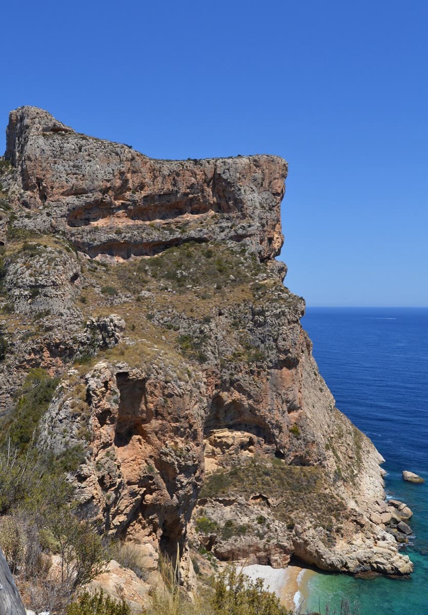
Morro Falquí sea cliff above Cala dels Testos, Benitatxell

Spain · Costa Blanca (Morro Falquí)

Sonjannika

A superb sea-cliff multipitch. P4 makes an impressive exposed exit from a cave with 100 m of air below, and the 6a+ P5 has a chimney and fingery slab. Balancy, airy and great for introducing someone to multipitch.

6a+6 pitches170 m

Read the cautions
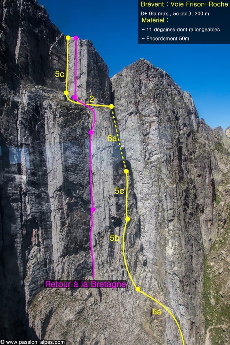
Photo-topo of the Voie Frison-Roche on the Brévent (yellow line), with the neighbouring Retour à la Bretagne

France · Chamonix valley

Voie Frison-Roche

The great classic of the Aiguilles Rouges: six varied pitches of gneiss, ten minutes downhill from the Brévent cable car and finishing at its top station, with Mont Blanc opposite. The crux is a short, physical corner crack and the last pitch is a long, clean corner. It is extremely popular.

6a+6 pitches200 m

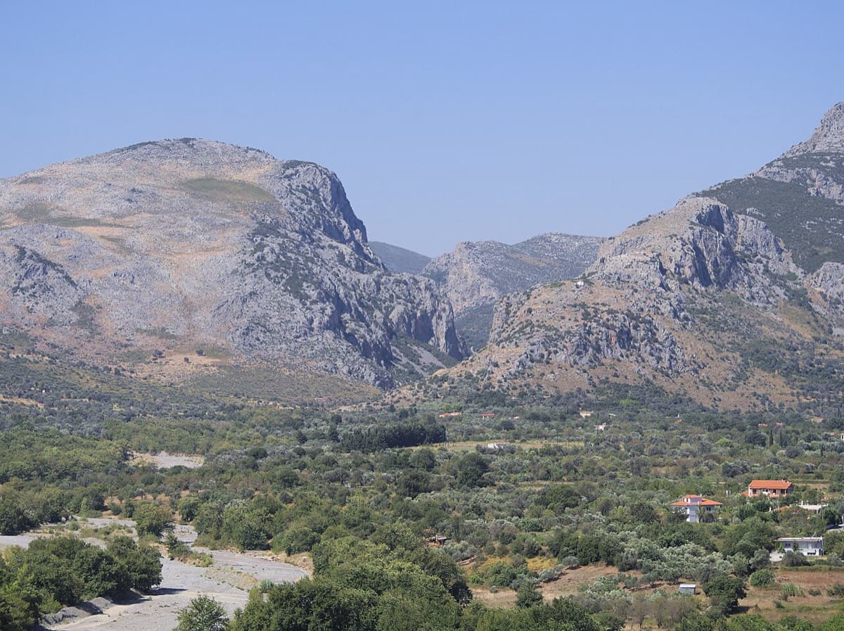
The Manikiatis gorge at Manikia, Evia, seen from Ano Monodry

Greece · Manikia (Evia)

Efcharístisi

An even-graded route in a beautiful gorge setting: pocketed and sculpted slabs below, steeper walls above, with one athletic 6a+ move on P5. There are short walking transitions between the lower tiers.

6a+6 pitches200 m

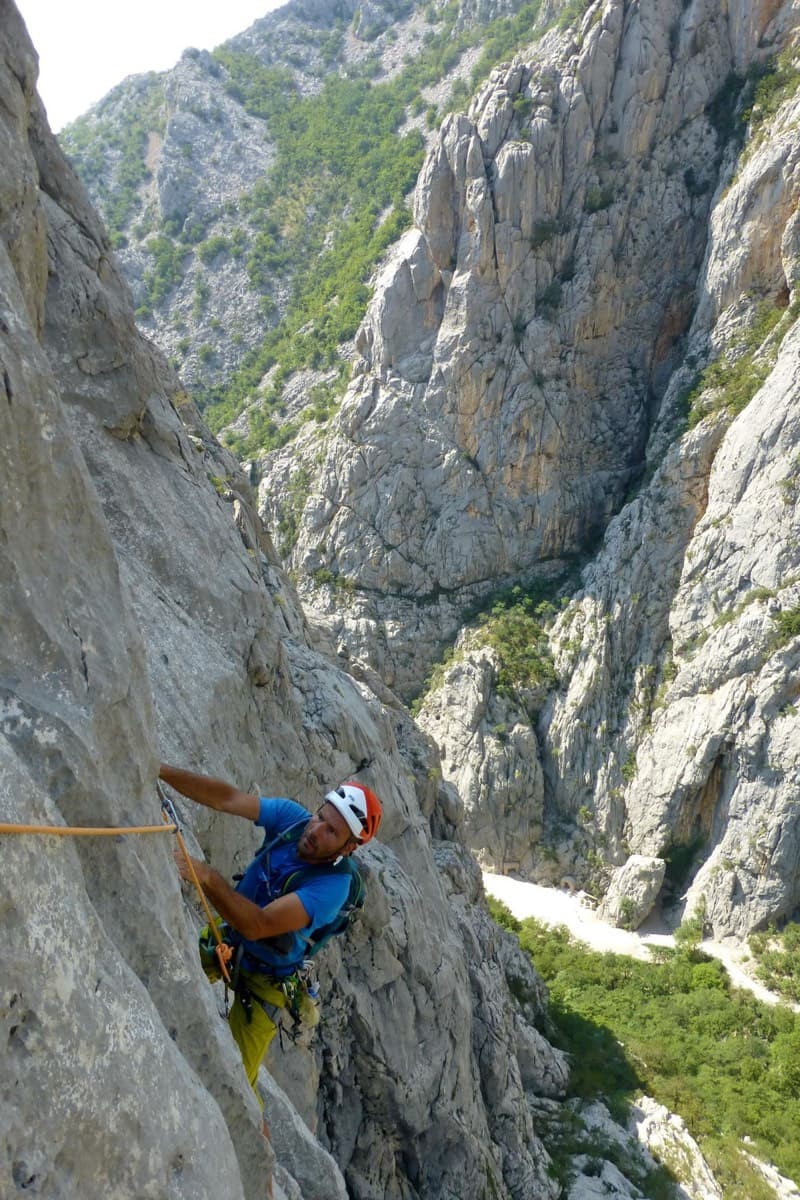
Climber on Water Song, Veliki Ćuk, with the Paklenica gorge behind

Croatia · Paklenica

Water Song

Classic Paklenica water-groove climbing on beautifully sculpted rock. The crux is a rising crack traverse on P5, with delicate slab moves above.

6a+6 pitches160 m

Read the cautions

Compiled from published sources and last verified October 2026. Bolts, anchors and access change. Climbing is dangerous and you are responsible for your own decisions: check a current topo and read the disclaimer.