Multipitch Atlas

Belle et Berbère

Paroi des Sources · Taghia · Morocco

Read the cautionsBail with caveatsBolting confidence: medium

Ten pitches of even 6b and 6b+ on compact rock ten minutes from the gîtes, mostly technical slab and wall climbing on your feet, with a 50 m sixth pitch on vertical edges that everyone singles out. It is among the most accessible long routes at Taghia, in the shade for most of the day, and a little polished low down.

The Paroi des Sources (left) and the Taoujdad seen from near TaghiaPhoto: Michka · CC BY-NC-ND 3.0

Photo

The Paroi des Sources (left) and the Taoujdad seen from near TaghiaPhoto: Michka · CC BY-NC-ND 3.0
Hardest pitch
6b+
Pitches
10
Length
330 m
Approach
10 min
Aspect
W
West-facing
Rope
2×50 m
Read before you go

Reported well bolted and popular, but one belay is shared with a route known for damaged anchors and the upper belays are unlinked.

The route

Overview

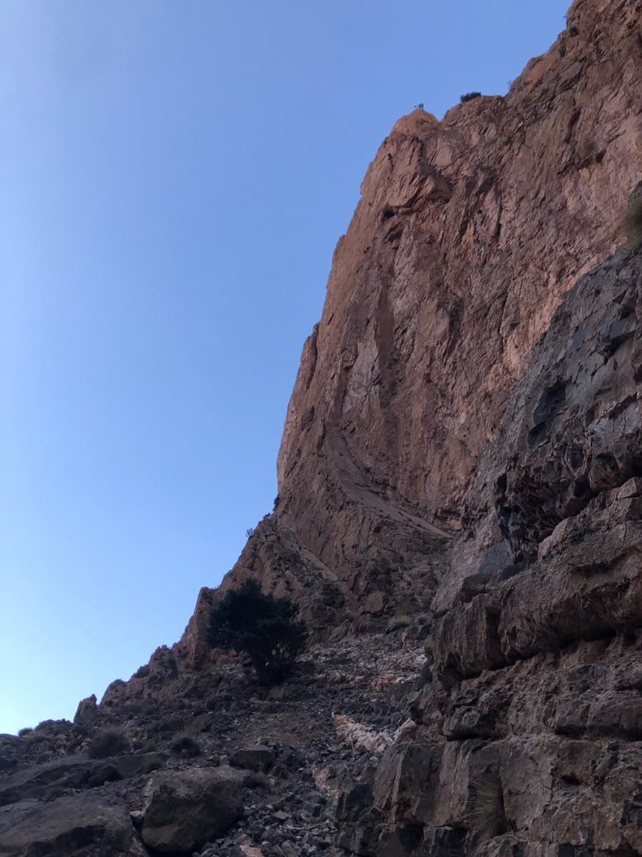
The Paroi des Sources is the 'small' wall directly above the springs, a few minutes from the village, and Belle et Berbère is its homogeneous 6b line: seven pitches up a first bastion to a ledge, an easy link, then two steeper 6b+ pitches on a final wall. The climbing is technical and slabby with pockets and edges, and several parties found it harder than its reputation as an easy day suggests. The lower pitches are becoming polished; the last two are quieter and on fresher rock. The ledge after pitch 7 or 8 offers an escape, which makes it a sensible first route of a trip.

The climbing

Pitch by pitch

Pitches of Belle et Berbère
PitchGradeLengthBoltsNotes
P16b––Traverse right to an overhanging corner on very good rock. A 6a+ variant goes straight up and round to the left before exiting right onto a ledge, on poorer rock. Both lead to a ledge, where you move up and right to a single-bolt stance (R1 bis) below a slab. Some parties skip this pitch by walking in along the ledge; one 2019 party found no bolt for 10 m after going right below the belay and wondered if they were off route.
P26b––A bouldery slab move, then a long way back left. Rope drag.
P36b––Left at first, then back right, with a very technical slab move in the middle.
P46b+––Long reaches to an undercut, a boulder problem, then big pockets on a vertical wall.
P56a+––Short: gain a crack that traverses higher up to the left, with a slab move.
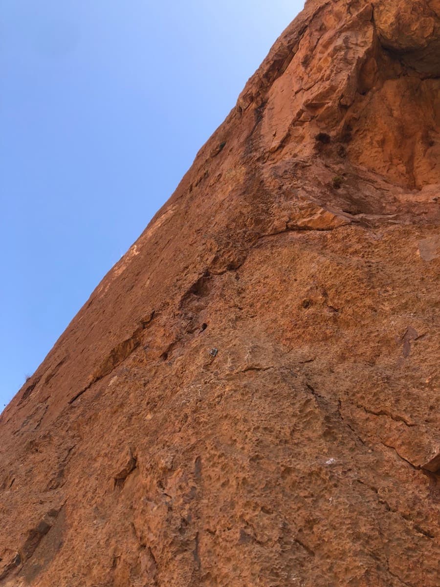
P66b+50 m13 boltsThe pitch of the route: a good hold to start, then a long, steep, technical wall on edges with a slab move to finish. The belay is on a pillar with a view over the village. Length and bolt count are from the first-ascent topo.
P76b––Walk right, then a steep, technical slab with a high step. Belay shared with Le Rêve d'Aïcha. With 50 m ropes one party needed 5 m of moving together to reach it.
P84––Grade IV, then walking, to reach the final wall further right, to the right of the red wall. You can escape along the ledge here.
P96b+––A steep start on slopers, then a fine flight with a thin move below the belay. One party pulled on a bolt at the start to avoid a fall onto the ledge.
P106b+––More slopers and overhangs to pass, the hardest near the end.

Getting there

Approach

To the parking

From Marrakech go via Azilal to Zaouiat Ahansal: about 250 km and 5 to 6 hours, on tarmac throughout. From Zaouiat you walk up to Taghia or, since 2023, the gîtes can drive you up a track by 4x4. The gîtes in Taghia (Saïd's and Mohamed Amil's are the ones named in reports) offer half board and can arrange the taxi from Marrakech.

On foot · about 10 min

10 minutes. From Saïd's gîte follow the path along the stream, staying on its right bank, then the small irrigation channel that runs along the foot of the cliff. Step across the channel onto the rock at a 4 m ramp and corner (grade III) with a Long Life bolt at its top, climb it and traverse 5 m right to a small cave that is easy to see from the opposite bank. This is R0. The route name is written at the foot of pitch 2.

Map of the walk-in

  • Area: approximate

Loading map

The point is approximate: it marks the area, not the crag.

Coordinates · area: approximate

31.78437, -6.06462

Point from camptocamp waypoint 43748

For your phone or watch

Download GPX

Contains the route point. Opens in most mapping apps and GPS watches.

Points are compiled from published sources, with the precision stated above. They were not surveyed on the ground: check them against a current topo.

Getting down

Descent

From the top go up a little to the crest of the shoulder, then descend quickly to Taghia by cairned ledges; the first-ascent topo calls it a pleasant 30 minutes, and a 2023 party took an hour to the gîte. That topo also marks a 45 m abseil from R10 to the ledge and a 50 m off-line abseil from the end of the lower ledge. You can abseil the route from R7 or below; above R7 the belays are not linked.

Retreat

Bailing off the route

Bail with caveats

You can abseil the route from R7 or below, where the belays are linked. A 2025 party stopped at the top of pitch 6 and went home, and another notes an escape at pitch 8, where a ledge leads off. On the final two-pitch wall the belays are not linked.

Retreat from
Any belay up to R7 by abseil; the ledge at pitches 7 to 8 on foot. The first-ascent topo marks a 50 m abseil from the end of that ledge.
Point of no return
The start of pitch 9. Once on the final wall, retreat means abseiling from unlinked bolts back to the ledge, a single pitch below.
Carry
2×50 m ropes; cord and a maillon for the upper belays.
Basis
Stated in the sourcesCamptocamp states abseiling is possible to R7 and that higher belays are unlinked; two trip reports describe retreating or escaping.

Safety

Hazards

  • R7 is shared with Le Rêve d'Aïcha, a route whose belays have been reported damaged; an older description gives it as a tree and one bolt.
  • Above R7 the belays are not linked, so abseiling from the upper wall means leaving gear.
  • The first three pitches are worn, in places polished.
  • A fall at the start of pitch 9 would land on the ledge.
  • The stream can be high and the footbridge was missing in April 2025; this route stays on the village side.
  • There is no mountain rescue service in Morocco.

Sun and weather

Conditions

West face topping out at about 2200 m, in the shade for most of the climb, which lets you climb here on summer mornings. Reports run from April to October. Being so close to the village it is the usual choice for a short or doubtful-weather day; two parties were rained on at the top.

Usual season · Apr to Jun, Sep to Oct

Sun on the wall · W-facing

Working out the sunlit hours for this month.

  • January: not yet worked out
  • February: not yet worked out
  • March: not yet worked out
  • April (usual season): not yet worked out
  • May (usual season): not yet worked out
  • June (usual season): not yet worked out
  • July: not yet worked out
  • August: not yet worked out
  • September (usual season): not yet worked out
  • October (usual season): not yet worked out
  • November: not yet worked out
  • December: not yet worked out

Sun on the wallDaylight, wall in shade● Usual season

Estimated from the wall's aspect only. Ignores surrounding terrain, gullies and the wall's exact shape. Clock times are local to the wall (Moroccan time), for the 15th of each month.

Climate figures for Taghia are not available yet

What to carry

Gear

At most 13 bolts on a pitch according to the first-ascent topo, so 13 or 14 quickdraws. 2×50 m ropes if you want the abseil options. Slings for belays: camptocamp has long warned that top belays here are sometimes damaged, although the final belay was reported in place in May 2026. Helmet.

Checklist

Quickdraws
13
Rope
2×50 m
Helmet
One each
Abseil device and prusik
The descent or the retreat involves abseiling
Maillons or spare karabiners
To leave behind if you retreat
Cord
Mentioned for retreat

Derived from the route data; check it against a current topo

From climbers

Reader reports

Reader reports are not being collected yet. Until they are, check a current topo and the local club or guidebook publisher for recent changes to Belle et Berbère.

Worth knowing

Tips

  • Allow 5 to 6 hours.
  • If the first pitch looks uninviting, walk in along the ledge and start at pitch 2.
  • It is nearly all on your feet; one 2025 climber regretted her choice of shoes on the many smears.
  • Good alternative when Le Rêve d'Aïcha is crowded; the stances are comfortable.

Open questions

Where sources disagree

  • Camptocamp carries no equipment rating for this route; 'all equipped' comes from the first-ascent topo and from trip reports.
  • Grades: camptocamp gives the last two pitches as 6b+ and 6b+; the first-ascent topo shows 6b then 6b+, and marks the link as 3b where camptocamp says IV.
  • Pitch count: a 2019 party describes nine pitches; camptocamp lists ten plus a variant first pitch.
  • Height: 330 m in the camptocamp data. No source gives individual pitch lengths apart from 50 m for pitch 6.
  • Belays: the camptocamp remark about damaged top belays was updated in May 2026 to say the final belay is in place.

Provenance

Sources

Same area

More in Taghia

All routes in Taghia
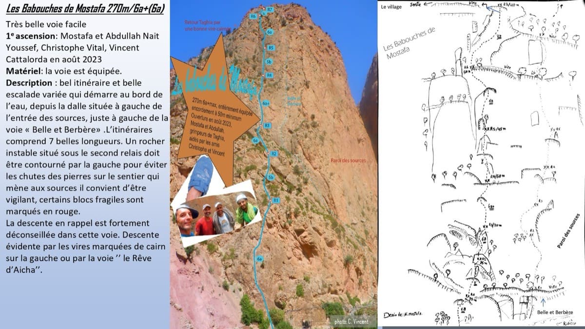
Topo of Les babouches de Mostafa on the Paroi des Sources, Taghia (photo with line and drawn topo)

Morocco · Taghia

Les babouches de Mostafa

The friendly way into Taghia, starting at the water's edge beside the springs. Seven varied pitches, well bolted by Taghia standards. Go left around the unstable rock below the second belay; fragile blocks are marked in red. In shade until midday.

6b7 pitches270 m

Committing
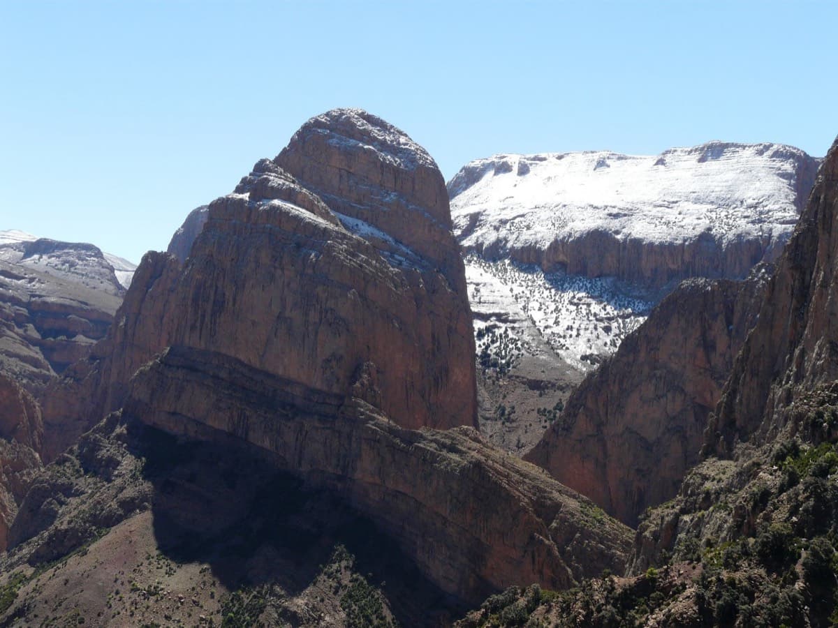
The Oujdad above Taghia

Morocco · Taghia

Ibtisane

The easiest bolted line at Taghia: three steep 5c walls linked by two long, easy garden pitches. Goes into shade around midday in April.

5c5 pitches235 m

Read the cautions

The west face of the Taoujdad from the approach, with the access ramps at its foot

Morocco · Taghia

Au nom de la Réforme

The classic first route at Taghia: steep, water-sculpted red limestone on the west face of the Taoujdad, with a 6c third pitch that is 6b until a short crux below the belay. It is better bolted than most Taghia routes and correspondingly popular, so some pitches are polished.

6c7 pitches300 m

Looking up the third pitch of Champion du Maroc on the west face of the Taoujdad

Morocco · Taghia

Champion du Maroc

Five pitches on new, very rough red rock just right of Au nom de la Réforme. The first three are steep, fingery and continuous with one short crux each; the last two are much easier. The original grades are 7a+, 7a and 6c+, now widely thought generous, and the cruxes are bolted closely enough to pull through.

6c+5 pitches200 m

Around 6b+ · about 10 pitches

Similar elsewhere

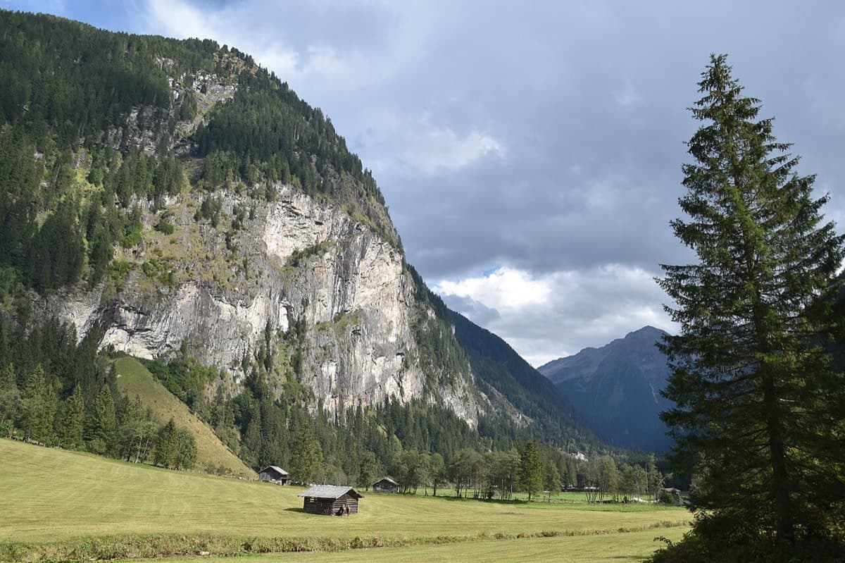
The Himmelwand in the Kötschachtal near Bad Gastein; the Kleine Himmelwand lies beyond the main wall

Austria · Gastein (Hohe Tauern)

Father and Son

Ten pitches of varied climbing on good rock, mostly slabs with some cracks and steeper passages. Largely UIAA 5 with a few moves of 6 and three spots of 7 that go at 6+ A0. A short walk-in and a rigged abseil line.

6b+10 pitches350 m

No photo yet

France · Aravis

Heididoune

A ten-pitch line to the summit of the Pointe Percée, the high point of the Aravis, following green hangers up the cool north-west face. Seven long pitches, mostly easy with a 6a+ wall, reach the notch of the Arête du Doigt; three independent pitches finish it, including a memorable slab traverse of 6b+ that can be aided on the bolts.

6b+10 pitches400 m

Read the cautions

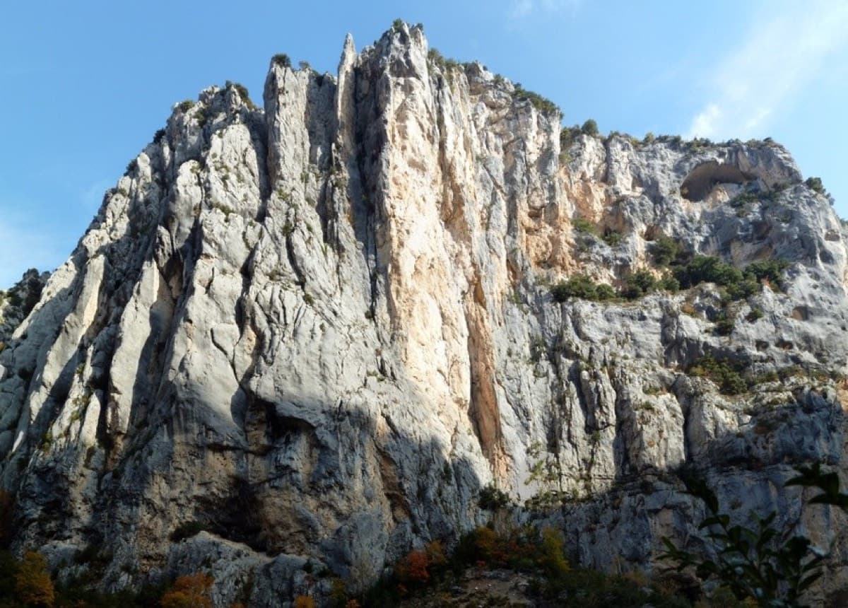
Overview of the Malines cliff, Verdon

France · Verdon

Golondrina

A modern (2019) line up a staircase of limestone pillars above the Chalet de la Maline, with short walking links between them. Harder than its old 6a grade suggests: recent parties report obligatory 6a+/6b moves on the first three pitches, and the last pitch is 6b+ or A0.

6b+10 pitches300 m

Read the cautions

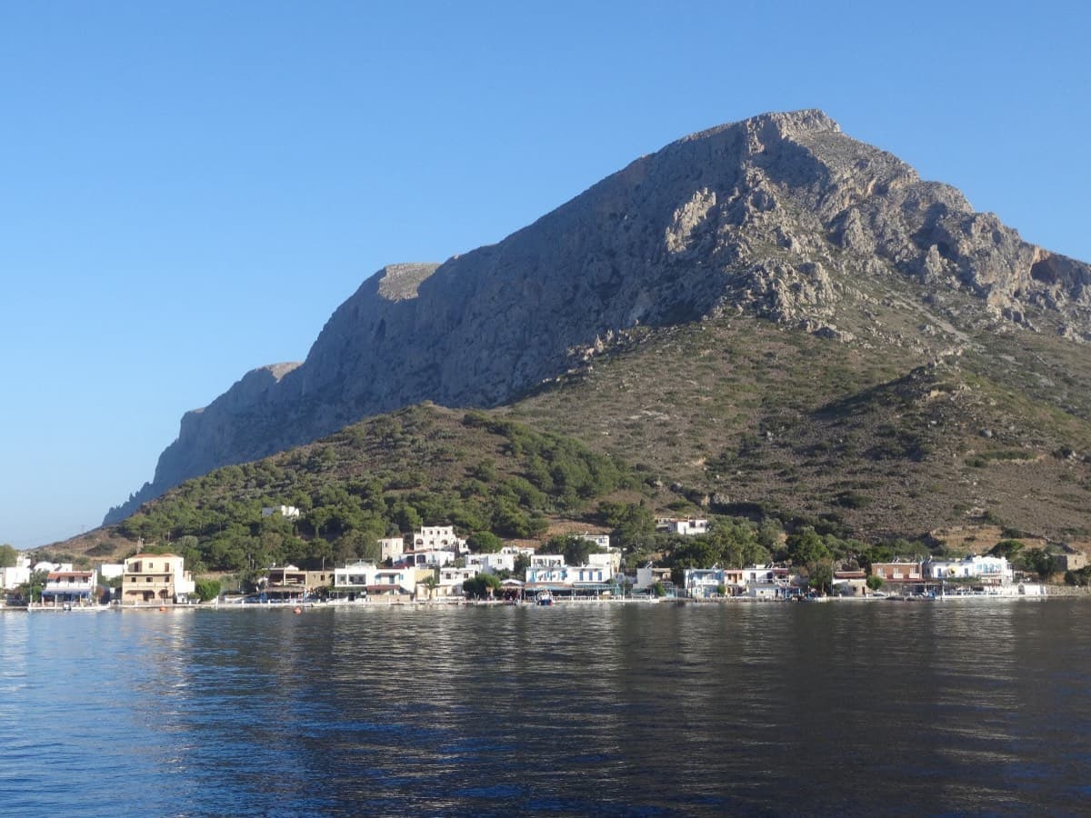
Telendos harbour and the south face of the island, seen from the water

Greece · Kalymnos & Telendos

Eterna

Eleven pitches up the south face of Telendos on extraordinarily sculpted rock, finishing with a 50 m wall of flint-like knobs. Two 6b+ pitches low down are the cruxes and the grades are widely called friendly. With the boat or coastal walk in and the walk off over the island, it makes a full and memorable day.

6b+11 pitches265 m

Compiled from published sources and last verified October 2026. Bolts, anchors and access change. Climbing is dangerous and you are responsible for your own decisions: check a current topo and read the disclaimer.