Multipitch Atlas

Heididoune

Pointe Percée – north-west face · Aravis · France

Read the cautionsBail not documentedBolting confidence: medium

A ten-pitch line to the summit of the Pointe Percée, the high point of the Aravis, following green hangers up the cool north-west face. Seven long pitches, mostly easy with a 6a+ wall, reach the notch of the Arête du Doigt; three independent pitches finish it, including a memorable slab traverse of 6b+ that can be aided on the bolts.

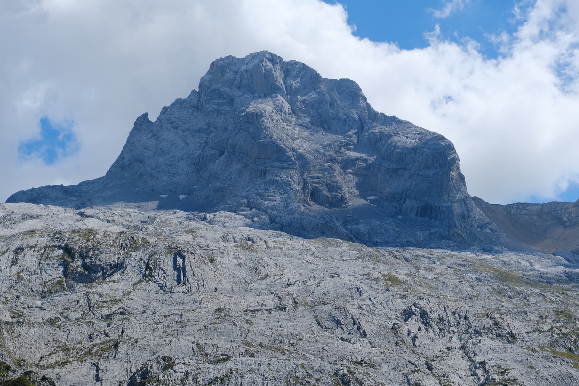
The north-west face of the Pointe Percée rising above the limestone pavement of the Gramusset plateau, seen from the Col des Annes side; Heididoune climbs this face to the summit, the exact line is not marked.Photo: Guilhem Vellut · CC BY 2.0

Photo

The north-west face of the Pointe Percée rising above the limestone pavement of the Gramusset plateau, seen from the Col des Annes side; Heididoune climbs this face to the summit, the exact line is not marked.Photo: Guilhem Vellut · CC BY 2.0
Hardest pitch
6b+
Pitches
10
Length
400 m
Approach
135 min
Aspect
NW
North-west-facing
Rope
1×60 m
walk-off
Read before you go

Closely bolted, but an alpine face with friable sections, stonefall, crossing routes, unlinked belays and a scrambling descent that can hold snow.

The route

Overview

Heididoune was opened in 2018 by Patrick Gabarrou and friends as the most accessible bolted line on the north-west face of the Pointe Percée. The lower limestone is very good, with huge runnels on pitch 2; several pitches are very easy; the top has some friable passages and one outstanding pitch, a slab traverse on the feet. The difficulty is uneven: most of the route is grade 4 and 5, with a 6a+ finish to pitch 6 (5c+ just left of the bolts) and a 6b+ pitch near the top that goes at A0 and can also be avoided. You finish on a 2750 m summit with a scrambling descent, so this is a mountain day.

In pictures

Photos

  • The wallThe Pointe Percée, highest summit of the Aravis, above its apron of pale limestone pavement, seen from the west near Le Grand-Bornand.Photo: Guilhem Vellut · CC BY 2.0

Approach photo

The climbing

Pitch by pitch

Pitches of Heididoune
PitchGradeLengthNotes
P14c50 mSlab; 50 to 55 m depending on whether you belay below or above the snow patch. Easily confused with the first pitch of Lagopède (3c) on the same slab.
P25c45 mMostly grade 5 with two moves of 5c on superb grippy limestone with enormous runnels. Bolts are close on a slightly overhanging move.
P3455 mEasy-angled slabs, graded 'lower 4'. The route crosses Lagopède halfway up; Heididoune goes left.
P4455 mEasy, with some fragile rock. A party saw a large natural rockfall cross this traverse in August 2024.
P55b+55 mSteepens and weaves through steep ground: a few steps, otherwise easy, on good rock.
P66a+55 mStony ledges (grade 3), then a steeper compact wall below the knife-edge of the Arête du Doigt: straight up, then a traverse right with a harder move at the end. It is 5c+ if you pass slightly left of the bolts and you can pull on them. Hanging belay in the traverse. Some parties split the pitch to reduce rope drag.
P7430 mTraverse below the knife-edge to the notch. A 2020 party wondered whether a fall here would reach the ledge.
P85c30 mRight of the classic exit, from the same belay: round a pillar on good holds over 5 to 6 m of doubtful rock with close bolts, then a pleasant corner.
P96b+30 mGraded 6b+/6c, or A0. Move right, mantel and traverse a fine slab on your feet, slightly above the bolts at first and slightly below at the end, then straight up through more featured rock. Small edges may be fragile; several have broken. Belay 9 is uncomfortable, in an overhanging hollow. Opinions on the grade range from 6a to 6b+.
P105b35 mEasy on mediocre rock to the summit: steps and ledges with loose stones, then a gently overhanging, juggy but sometimes fragile finish. Green hangers, then plain metal ones, lead to the last belay.

Getting there

Approach

To the parking

The usual start is the Col des Annes (1710 m) above Le Grand-Bornand, reached by road from Annecy via Thônes. Parking is very limited and fills early in summer; Le Grand-Bornand runs a summer shuttle bus to the col, and Les Troncs is the alternative start. The Gramusset (Pointe Percée) hut at 2164 m is 1 h to 1 h 30 min from either and must be booked for a night.

On foot · about 135 min

About 1 h from the Gramusset hut, or 2 h to 2 h 30 min from the Col des Annes. From the hut take the path of the Pointe Percée normal route; at the foot of the big cirque keep traversing left across the limestone pavement (cairns) to a small shoulder, pass below it and reach the foot of the north-west face, which you follow up the scree. Heididoune starts right of the Voie du Trou (a red painted 'T') and right of Lagopède, the second multipitch right of the Voie du Trou according to a 2020 party. A yellow cord marks the start once the snow patch has melted enough; you can avoid the snow by starting halfway up pitch 1.

Finding the route · 2 photos

Approach photo

Map of the walk-in

  • Crag
  • Parking

Loading map

The point marks the crag, not the exact start of the route.

Coordinates · crag

45.95578, 6.55467

Parking

45.97038, 6.52317

Col des Annes (camptocamp waypoint 135396)

Point from camptocamp route 1231023

For your phone or watch

Download GPX

Contains the route point and parking. Opens in most mapping apps and GPS watches.

Points are compiled from published sources, with the precision stated above. They were not surveyed on the ground: check them against a current topo.

Getting down

Descent

Not described on the route page; the neighbouring Arête du Doigt page gives the options from the summit. Either go down the normal route, marked with red paint, where late snow patches can call for an ice axe and crampons, or take the Cheminées de Sallanches, longer but with less snow: start down the normal ridge and stony gully, then go left at a painted stone column with a glue-in ring to reach the Col des Verts and the hut. Allow about 1 h 30 min to Gramusset. Both are scrambles with stonefall from other parties.

Retreat

Bailing off the route

Bail not documented

Retreat is not documented. The route is climbed on a single 60 m rope with pitches of up to 55 m and most belays are two unlinked bolts, so abseiling the line as equipped is not practical without a second rope and gear to leave. The route crosses the easier Lagopède on pitch 3, and from the notch at the top of pitch 7 the classic exit of the Arête du Doigt offers an easier way to the summit.

Retreat from
Not documented. Easier ground is available by joining Lagopède low down (inferred from the crossing) or the classic ridge exit from belay 8 (stated).
Point of no return
Not documented. Above pitch 6 the natural way off is over the summit.
Carry
Two ropes, slings and maillons if you want to be able to abseil; the pitch lengths are 30 to 55 m.
Basis
Inferred from the route factsThe route page gives rope length, pitch lengths, which belays are linked and the easier exit from belay 8; nothing on abseiling.

Partly inferred from the route facts

Safety

Hazards

  • Friable rock in places: on pitch 4, at the start of pitch 8 and on pitches 9 and 10. In 2025 a climber on the upper face broke an edge and ended up hanging 2 m below the belay.
  • Stonefall: the face is busy, several routes cross, and a large natural rockfall was seen in August 2024.
  • Route finding: Heididoune and Lagopède share the first slab and cross more than once. Follow the green hangers, bearing in mind that the paint is fading. A 2024 party using the paper guidebook, which does not include Heididoune, strayed onto it by mistake.
  • Most belays are two unlinked bolts.
  • The descent is an exposed scramble that can hold snow.

Sun and weather

Conditions

North-west facing between about 2350 and 2750 m: cold and shady, pleasant in a heatwave, and damp after storms. A snow patch lies at the foot well into summer (reported in July and on 1 August). Trip reports run from mid July to late August.

Usual season · Jul to Sep

Sun on the wall · NW-facing

Working out the sunlit hours for this month.

  • January: not yet worked out
  • February: not yet worked out
  • March: not yet worked out
  • April: not yet worked out
  • May: not yet worked out
  • June: not yet worked out
  • July (usual season): not yet worked out
  • August (usual season): not yet worked out
  • September (usual season): not yet worked out
  • October: not yet worked out
  • November: not yet worked out
  • December: not yet worked out

Sun on the wallDaylight, wall in shade● Usual season

Estimated from the wall's aspect only. Ignores surrounding terrain, gullies and the wall's exact shape. Clock times are local to the wall (Central European time), for the 15th of each month.

Monthly climate averages for Aravis, 1991-2020
MeasureJanFebMarAprMayJunJul (usual season)Aug (usual season)Sep (usual season)OctNovDec
Mean daily high °C−7−5−21610131395−2−6
Mean daily low °C−16−15−12−8−4133−1−5−11−15
Rain days 1 mm or more131113151918171614131413

● marks the usual climbing season. Averages for 1991-2020 at about 2371 m. Area climate from Open-Meteo reanalysis. Temperatures are adjusted to the height of the crag; rain comes from a grid cell of about 10 to 25 km, and summer highs on sea cliffs can read a few degrees low. The wall and valley can differ. Data: Open-Meteo, CC BY 4.0.

What to carry

Gear

16 quickdraws, a 60 m rope, and slings to join the belay bolts (only belays 2, 8, 9 and 10 are linked). Helmet. Early in the season, what you need for snow at the foot of the face and on the descent.

Checklist

Quickdraws
16
Rope
1×60 m (walk-off)
Helmet
One each
Slings
Mentioned for retreat
Maillons or spare karabiners
To leave behind if you retreat

Derived from the route data; check it against a current topo

From climbers

Reader reports

Reader reports are not being collected yet. Until they are, check a current topo and the local club or guidebook publisher for recent changes to Heididoune.

Worth knowing

Tips

  • To keep the difficulty even, step from belay 8 to the belay of the classic exit, 2 m left on a terrace, and follow the ridge crest at 5b; you can rejoin the green hangers for the last overhang.
  • The 6a+ finish to pitch 6 and the 6b+ slab on pitch 9 can both be aided on the bolts.
  • Topo and current information are available at the Gramusset hut.

Open questions

Where sources disagree

  • Pitch 9 grade: 6b+/6c on the route page; parties suggest anything from 5c+/6a to 6b+.
  • Camptocamp rates the route D overall despite the 6b+ pitch, because the hard moves can be aided or avoided; obligatory grade 6a.
  • A 2020 party says cams were useful, but only after losing the line and building intermediate belays; another party the day before called the bolting very close.
  • Only camptocamp could be read for this route; no second independent description was found.

Provenance

Sources

Same area

More in Aravis

All routes in Aravis
The Pointe Percée above the limestone pavement of the Gramusset plateau, seen from the north-west; Le sirop pour machin starts from the crags near the hut and finishes on the summit, the exact line is not marked.

France · Aravis

Le sirop pour machin

An introduction to mountain multipitch that tops out right under the summit cross of the highest Aravis peak. Grippy fluted limestone is linked by cairned walking sections, and the last pitches are the best.

5b+11 pitches400 m
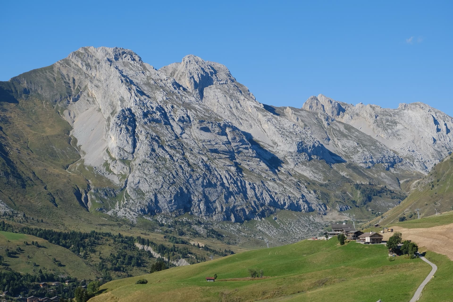
The south face of the Pic de Jallouvre (left summit) and the Pointe Blanche above the chalets of Le Grand-Bornand, on the road to the Col de la Colombière; the Voie des Cristaux climbs the right-hand side of the Jallouvre face.

France · Aravis

Voie des Cristaux

Sixteen pitches of easy slabs and water-worn runnels above the Col de la Colombière, on the border between scrambling, climbing and mountaineering. Nothing is harder than 4b and most of it is grade 3, on sculpted, grippy limestone among ibex and edelweiss. Many parties carry on up the Arête des Bouquetins to the summit for a very long day.

4b16 pitches400 m

Around 6b+ · about 10 pitches

Similar elsewhere

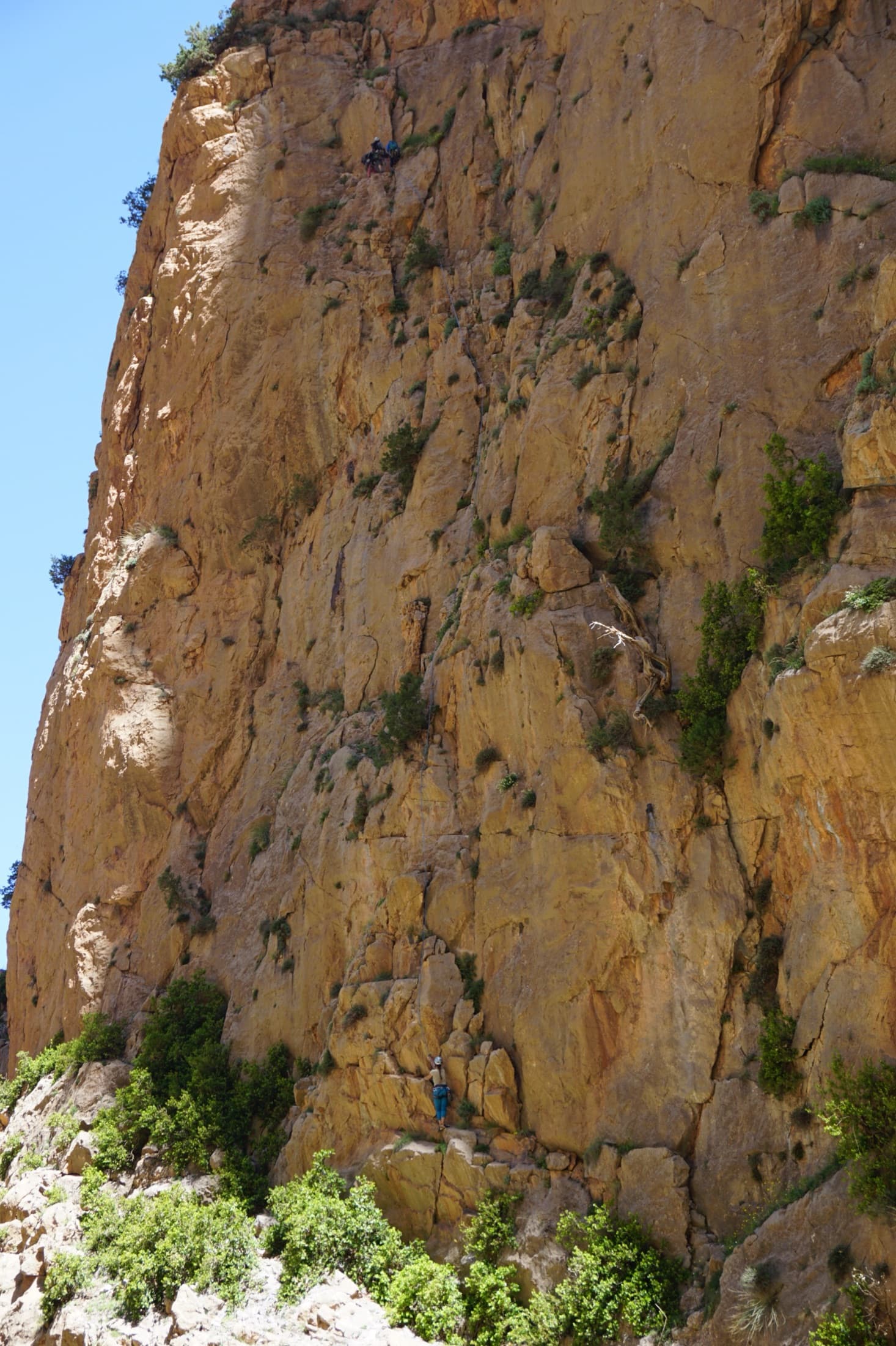
The orange limestone of the Paroi des Sources at Taghia, with climbers on its routes.

Morocco · Taghia

Belle et Berbère

Ten pitches of even 6b and 6b+ on compact rock ten minutes from the gîtes, mostly technical slab and wall climbing on your feet, with a 50 m sixth pitch on vertical edges that everyone singles out. It is among the most accessible long routes at Taghia, in the shade for most of the day, and a little polished low down.

6b+10 pitches330 m

Read the cautions

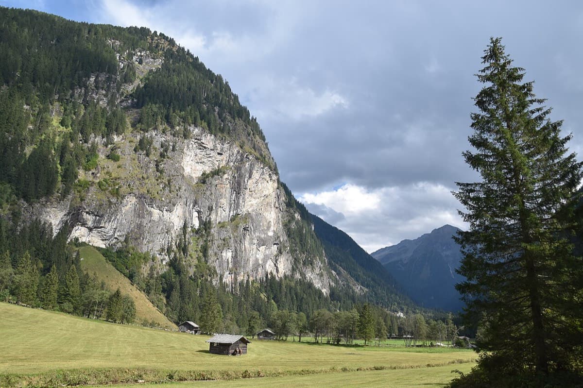
The Himmelwand in the Kötschachtal near Bad Gastein; the Kleine Himmelwand lies beyond the main wall

Austria · Gastein (Hohe Tauern)

Father and Son

Ten pitches of varied climbing on good rock, mostly slabs with some cracks and steeper passages. Largely UIAA 5 with a few moves of 6 and three spots of 7 that go at 6+ A0. A short walk-in and a rigged abseil line.

6b+10 pitches350 m

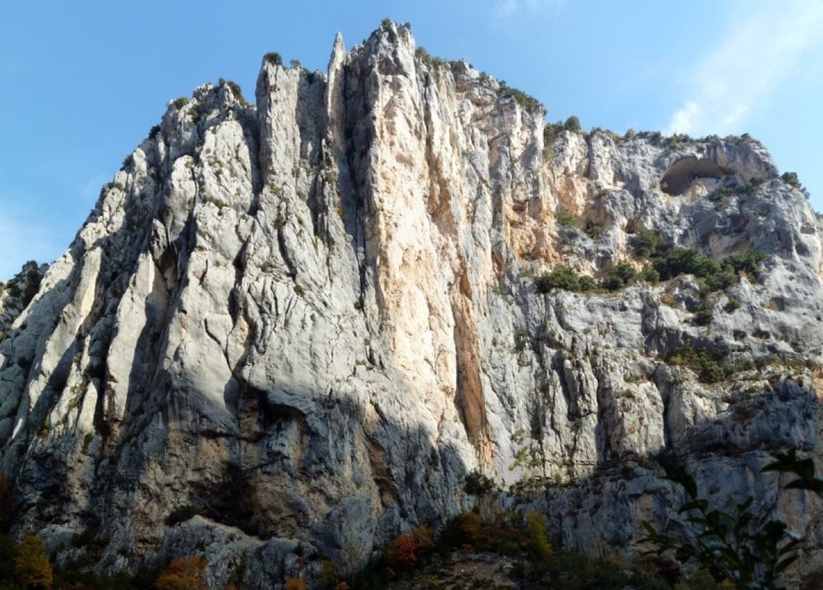
Overview of the Malines cliff, Verdon

France · Verdon

Golondrina

A modern (2019) line up a staircase of limestone pillars above the Chalet de la Maline, with short walking links between them. Harder than its old 6a grade suggests: recent parties report obligatory 6a+/6b moves on the first three pitches, and the last pitch is 6b+ or A0.

6b+10 pitches300 m

Read the cautions

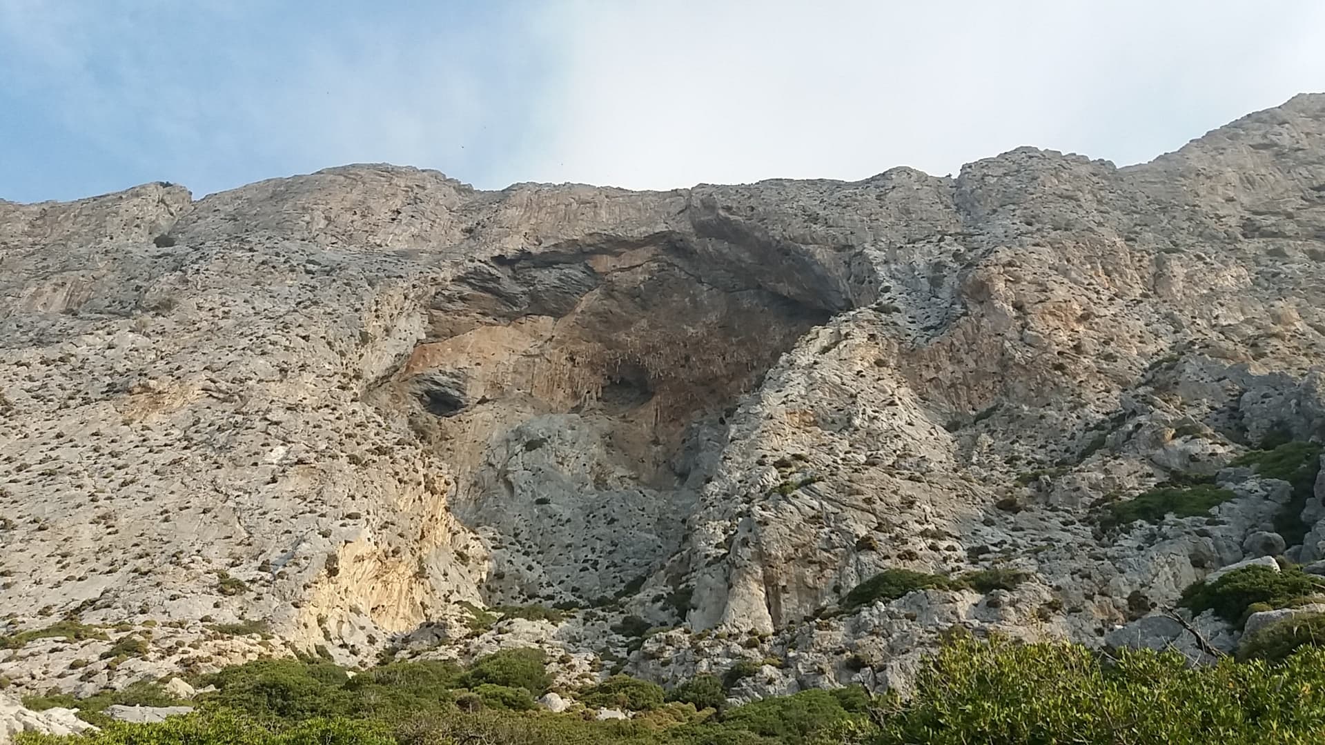
The Crescendo cave on the south face of Telendos; Eterna climbs the wall to its left.

Greece · Kalymnos & Telendos

Eterna

Eleven pitches up the south face of Telendos on extraordinarily sculpted rock, finishing with a 50 m wall of flint-like knobs. Two 6b+ pitches low down are the cruxes and the grades are widely called friendly. With the boat or coastal walk in and the walk off over the island, it makes a full and memorable day.

6b+11 pitches265 m

Compiled from published sources and last verified October 2026. Bolts, anchors and access change. Climbing is dangerous and you are responsible for your own decisions: check a current topo and read the disclaimer.