Multipitch Atlas

Father and Son

Kleine Himmelwand, Kötschachtal · Gastein (Hohe Tauern) · Austria

Easy to bailBolting confidence: high

Ten pitches of varied climbing on good rock, mostly slabs with some cracks and steeper passages. Largely UIAA 5 with a few moves of 6 and three spots of 7 that go at 6+ A0. A short walk-in and a rigged abseil line.

The Himmelwand in the Kötschachtal near Bad Gastein; the Kleine Himmelwand lies beyond the main wallPhoto: Fl.schmitt · CC0

Photo

The Himmelwand in the Kötschachtal near Bad Gastein; the Kleine Himmelwand lies beyond the main wallPhoto: Fl.schmitt · CC0
Hardest pitch
6b+
Pitches
10
Length
350 m
Approach
30 min
Aspect
S
South-facing
Rope
2×50 m

The route

Overview

Father and Son is a ten-pitch plaisir route on the Kleine Himmelwand in the Kötschachtal, a side valley of the Gastein valley. The climbing is varied and on good rock: mainly slabs, with some cracks and steeper passages. Most of it is UIAA 5, with a few moves of 6 and three spots of 7 (about 6b to 6b+) that can be climbed at 6+ A0 by pulling on a bolt. bergsteigen.com rates the protection very good and the route is set up for abseiling.

The climbing

Pitch by pitch

Pitches of Father and Son
PitchGradeNotes
P1–Not described individually in open sources.
P2–Not described individually in open sources.
P3–Not described individually in open sources.
P4–Not described individually in open sources.
P5–Not described individually in open sources.
P6–Not described individually in open sources.
P7–Not described individually in open sources.
P8–Not described individually in open sources.
P9–Not described individually in open sources.
P10–Not described individually in open sources.

Getting there

Approach

To the parking

From Bad Gastein drive into the Kötschachtal and park before the Grüner Baum hotel, at the Kötschachtal car park (about 1080 m).

On foot · about 30 min

About 30 min on a forest road. It crosses meadows and passes the Himmelwandhütte. Continue straight on until a game feeding station appears on the left; above it carry on straight towards the waterfall and climb beside it, crossing it twice, until you reach the rock at about 1200 m.

Finding the route · 2 photos

  • Walk-inThe forest road up the Kötschachtal where it reaches the Himmelwandhütte snack bar (the chalet on the right), with the Himmelwand above. The approach passes the hut and carries straight on up the valley.Photo: Gerd Fahrenhorst · CC BY 4.0
  • Walk-inThe meadows on the way to the Himmelwandhütte, looking up the valley: the road runs along the fence on the left, passes the hut and continues towards the head of the valley.Photo: Naturpuur · CC BY-SA 4.0

Approach photo

Map of the walk-in

  • Route base
  • Parking

Loading map

The point marks the base of the route.

Coordinates · route base

47.12146, 13.18667

Parking

47.12698, 13.15736

Kötschachtal car park

Point from bergsteigen.com touren/klettern/father-and-son-kleine-himmelwand

For your phone or watch

Download GPX

Contains the route point and parking. Opens in most mapping apps and GPS watches.

Points are compiled from published sources, with the precision stated above. They were not surveyed on the ground: check them against a current topo.

Getting down

Descent

Abseil the route. With 50 m double ropes you go from belay to belay. With 60 m double ropes use the intermediate stations marked on the topo; a station shown on the topo with only a yellow dot is for abseiling only. bergsteigen.com allows about 1 h 35 for the descent and walk out.

Retreat

Bailing off the route

Easy to bail

Abseiling the route is the normal descent and the stations are laid out for both 50 m and 60 m double ropes, so you can turn round at any belay.

Retreat from
Any belay.
Point of no return
None described.
Carry
Double ropes, 2×50 m or 2×60 m.
Basis
Stated in the sourcesbergsteigen.com describes the abseil descent and the station layout.

Safety

Hazards

  • Spring avalanches on the approach and at the base.
  • The approach crosses the waterfall stream twice; expect it to be awkward at high water.
  • Ten abseils: keep track of which stations suit your rope length.

Sun and weather

Conditions

South facing, base about 1200 m. Season April to October. In spring wait until the full-depth avalanches have come down. The wall dries relatively quickly after rain.

Usual season · Apr to Oct

Sun on the wall · S-facing

Working out the sunlit hours for this month.

  • January: not yet worked out
  • February: not yet worked out
  • March: not yet worked out
  • April (usual season): not yet worked out
  • May (usual season): not yet worked out
  • June (usual season): not yet worked out
  • July (usual season): not yet worked out
  • August (usual season): not yet worked out
  • September (usual season): not yet worked out
  • October (usual season): not yet worked out
  • November: not yet worked out
  • December: not yet worked out

Sun on the wallDaylight, wall in shade● Usual season

Estimated from the wall's aspect only. Ignores surrounding terrain, gullies and the wall's exact shape. Clock times are local to the wall (Central European time), for the 15th of each month.

Climate figures for Gastein (Hohe Tauern) are not available yet

What to carry

Gear

12 quickdraws, double ropes (2×50 m or 2×60 m) and a helmet.

Checklist

Quickdraws
12
Rope
2×50 m
Helmet
One each
Abseil device and prusik
The descent or the retreat involves abseiling

Derived from the route data; check it against a current topo

From climbers

Reader reports

Reader reports are not being collected yet. Until they are, check a current topo and the local club or guidebook publisher for recent changes to Father and Son.

Worth knowing

Tips

  • Allow about 4 h for the climb and 6 h car to car.
  • The three hardest moves can be aided, which makes the route feasible for a party climbing about 6a.
  • Team Hirschwurst (UIAA 8-) and JKF Happiness are the neighbouring routes on the same wall.

Open questions

Where sources disagree

  • Single source: a web search found no independent report. The bergsteigen.com topo is behind a login, so per-pitch grades and bolt counts are not published openly.
  • Rope: the data field says 2×60 m, while the descent text describes both 50 m and 60 m double ropes.
  • The rock type is not stated on the page; "gneiss" follows the general geology of the Gastein valley.

Provenance

Sources

Around 6b+ · about 10 pitches

Similar elsewhere

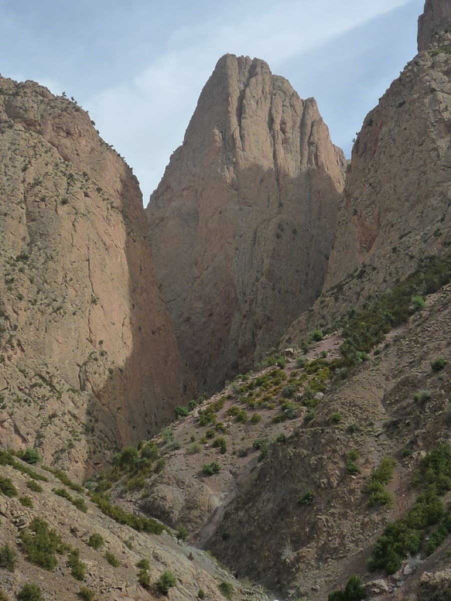
The Paroi des Sources (left) and the Taoujdad seen from near Taghia

Morocco · Taghia

Belle et Berbère

Ten pitches of even 6b and 6b+ on compact rock ten minutes from the gîtes, mostly technical slab and wall climbing on your feet, with a 50 m sixth pitch on vertical edges that everyone singles out. It is among the most accessible long routes at Taghia, in the shade for most of the day, and a little polished low down.

6b+10 pitches330 m

Read the cautions
No photo yet

France · Aravis

Heididoune

A ten-pitch line to the summit of the Pointe Percée, the high point of the Aravis, following green hangers up the cool north-west face. Seven long pitches, mostly easy with a 6a+ wall, reach the notch of the Arête du Doigt; three independent pitches finish it, including a memorable slab traverse of 6b+ that can be aided on the bolts.

6b+10 pitches400 m

Read the cautions

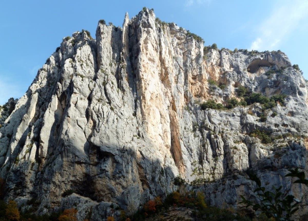
Overview of the Malines cliff, Verdon

France · Verdon

Golondrina

A modern (2019) line up a staircase of limestone pillars above the Chalet de la Maline, with short walking links between them. Harder than its old 6a grade suggests: recent parties report obligatory 6a+/6b moves on the first three pitches, and the last pitch is 6b+ or A0.

6b+10 pitches300 m

Read the cautions

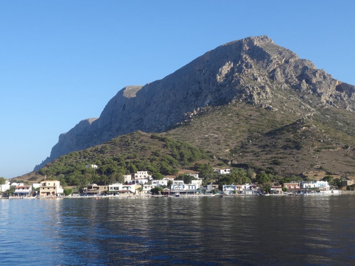
Telendos harbour and the south face of the island, seen from the water

Greece · Kalymnos & Telendos

Eterna

Eleven pitches up the south face of Telendos on extraordinarily sculpted rock, finishing with a 50 m wall of flint-like knobs. Two 6b+ pitches low down are the cruxes and the grades are widely called friendly. With the boat or coastal walk in and the walk off over the island, it makes a full and memorable day.

6b+11 pitches265 m

Compiled from published sources and last verified October 2026. Bolts, anchors and access change. Climbing is dangerous and you are responsible for your own decisions: check a current topo and read the disclaimer.