Multipitch Atlas

Le sirop pour machin

Pointe Percée · Aravis · France

Easy to bailBolting confidence: high

An introduction to mountain multipitch that tops out right under the summit cross of the highest Aravis peak. Grippy fluted limestone is linked by cairned walking sections, and the last pitches are the best.

Start of Le sirop pour machin on the Pointe Percée, with the first pitch to belay R1 drawn in redPhoto: spub · CC BY-NC-ND 3.0

Topo

Start of Le sirop pour machin on the Pointe Percée, with the first pitch to belay R1 drawn in redPhoto: spub · CC BY-NC-ND 3.0
Hardest pitch
5b+
Pitches
11
Length
400 m
Approach
120 min
Aspect
NW
North-west-facing
Rope
1×50 m

The route

Overview

Le sirop pour machin is an eleven-pitch introduction to mountain multipitch on the north-west side of Pointe Percée (2,750 m), the highest summit of the Aravis. It links steps of very grippy fluted limestone with two cairned walking sections, crosses the normal route, and finishes right under the summit cross. No pitch is harder than 5b+ and the bolting is good, close where it is hard. The first four pitches are broken; the last four are short, continuous and the highlight. The difficulties are in the scale of the day and in route-finding between the sections, not in the climbing.

The climbing

Pitch by pitch

Pitches of Le sirop pour machin
PitchGradeNotes
P15bFollow the green hangers; there are several bolt lines here. Straight up, then right. R1 is hidden on a terrace to the right of the gully, with a green hanger on the ground, and is not chained. Do not stop at the big chained belay on the left or at the belay directly above; go further right along the gully.
P25aA small step with two close bolts (about 1.8 m apart), then easy ground and a few metres of walking. The belay is about 20 m further, just before the next step.
P35b+One hard move at the start over the step, with two close bolts to pull on if needed.
P43cOne step to climb, then easy. Can be done in approach shoes. Then walk about 15 m towards the normal route path and leave it leftwards at a cairn, towards a second cairn and a fine grooved slab. Several parties could not see the cairns from the normal route; look for the slab and the bolts.
P55aSuperb slab of sculpted rock, then the crest to a huge cairn; belay on a block. Optional: it can be skipped to save time, but it helps you find the next section. Then 2–5 minutes of level walking to the right following cairns (not towards the left ridge) to the start of L6, marked by a cord.
P64cWater grooves. Belay on two unlinked bolts.
P73cEasy, to a belay on two unlinked bolts at the foot of the wall. L6 and L7 are often done in approach shoes or moving together.
P85b+Short steep wall or fine slab, then a traverse right above the bolt. One 2026 party thought it worth 5c+. Well bolted.
P95b+A move off the belay, then lovely grooves.
P105bFollow the rising ramp or corner: airy but with good holds.
P115bRock is poorer and there are stony ledges to cross; take care not to knock stones onto the belayer, who is sheltered under a rock. Finishes just below the summit cross.

Getting there

Approach

To the parking

From Le Grand-Bornand take the Bouchet valley road and after about 4 km turn left up to the Col des Annes (1,710 m). gulliver.it warns against the alternative via Le Chinaillon that satnavs propose. Parking at the col is small and full early (by 7:20–8:00 on August days in 2026); there is another parking spot lower down, a summer shuttle bus from Le Grand-Bornand, or you can start from Les Troncs instead. The Refuge de la Pointe Percée / Gramusset (2,164 m, FFCAM) is 1 h to 1 h 30 from the col and is a good place to spend the night before.

On foot · about 120 min

About 2 h from the Col des Annes; 15–30 minutes from the refuge. From the refuge follow the normal route of Pointe Percée. Where it heads up into the scree, spot a cave to the left of the normal route; the Grand-Amusette single-pitch sector is there, a little further left again. The route starts just left of the cave. It is identified by a cord on the first bolt that differs from the neighbouring lines (red in 2024, reported orange in 2026) and by green hangers, which are fading. There is no water after the refuge.

Finding the route · 1 photo

  • Walk-inThe Refuge de la Pointe Percée (Gramusset, 2,164 m), the landmark the approach passes: the path of the Pointe Percée normal route continues from here.Photo: Sandrine P · CC BY-NC-ND 3.0

Approach photo

Map of the walk-in

  • Route base
  • Parking
  • GPS line

Loading map

The point marks the base of the route.

GPS line: one party's recorded GPS track of the whole day, including the climb and the descent. One party's recorded day on 28 June 2026: Col des Annes, the Gramusset hut, the route, the summit of the Pointe Percée and back down to the col. Do not follow it blindly.

GPS line: oscarl · CC BY-NC-ND 3.0

Coordinates · route base

45.95675, 6.55166

Parking

45.97038, 6.52317

Col des Annes (camptocamp access point)

Point from camptocamp route 914964

For your phone or watch

Download GPX

Contains the route point, parking and a GPS line. Opens in most mapping apps and GPS watches.

Points are compiled from published sources, with the precision stated above. They were not surveyed on the ground: check them against a current topo.

Getting down

Descent

From the summit cross walk down the normal route of Pointe Percée to the Refuge de Gramusset and on to the Col des Annes. Stay on the small ridge to the right when facing Mont Blanc; the line is well marked with paint dots. It is graded F / experienced walkers: slippery rock in places and some exposure near the top. Parties take 2 h to 2 h 20 from the summit to the col.

Retreat

Bailing off the route

Easy to bail

Yes, for most of the route. It crosses the Pointe Percée normal route half-way and has two walking sections, and a 2026 party notes that escape is possible at several points. The exception is the final four-pitch wall, where the belays are two unlinked bolts and you would have to abseil back to its foot, leaving gear.

Retreat from
After pitch 4 you walk about 15 m towards the normal route path, and after pitch 5 there is a level cairned walk; both put you next to the normal route, which is the walking descent. R7 is at the foot of the final wall on easy ground (pitches 6 and 7 are often done in approach shoes). Retreat from within pitches 1 to 4 or 8 to 11 is not described.
Point of no return
None is documented. By inference, once you are on pitches 8 to 11 the summit is at most three short pitches away and the walk down starts there, so finishing is usually the simpler option unless the weather forces you down.
Carry
1×50 m rope as for the climb. For an abseil off the upper wall or the first step, carry cord and two maillons or old karabiners: every belay is two unlinked bolts and no source mentions rings.
Basis
Part stated, part inferredCamptocamp trip reports state that the route meets the normal route mid-way and that escape is possible at several points, and that all belays are unlinked bolts; the abseil retreat from the upper wall and the gear to leave are inferred.

Partly inferred from the route facts

Safety

Hazards

  • Every belay is two unlinked bolts, R1 included; bring material to equalise them.
  • Stopping at the wrong belay above pitch 1 leads onto a harder neighbouring pitch (reported as 6a+ by one party in 2024).
  • Route-finding on the walking sections: many cairns, and the right ones are not visible from the normal route. In August 2026 one party never found the last pitches and finished up another route, and another only rejoined at R7.
  • Loose stones on pitch 11 and on the walking ledges; the route crosses the busy normal route, so there may be people below.
  • Afternoon thunderstorms are common; a 2026 party notes that escape is possible at several points, since the route meets the normal route mid-way.
  • The descent is a long mountain scramble with slippery, exposed sections. A slow party in 2026 left the col at 10:00 and returned at 23:00.

Sun and weather

Conditions

North-west facing at 2,400–2,750 m. Cool and shaded in the morning even in a heatwave, with sun on the face in the afternoon. The trip reports read run from 28 June to 2 September; snow patches can remain on the normal route early in the season. The rock is very grippy with no polish, and the route is quiet compared with the Arête du Doigt. Three to four hours of climbing for a competent pair.

Usual season · Jul to Sep

Sun on the wall · NW-facing

Working out the sunlit hours for this month.

  • January: not yet worked out
  • February: not yet worked out
  • March: not yet worked out
  • April: not yet worked out
  • May: not yet worked out
  • June: not yet worked out
  • July (usual season): not yet worked out
  • August (usual season): not yet worked out
  • September (usual season): not yet worked out
  • October: not yet worked out
  • November: not yet worked out
  • December: not yet worked out

Sun on the wallDaylight, wall in shade● Usual season

Estimated from the wall's aspect only. Ignores surrounding terrain, gullies and the wall's exact shape. Clock times are local to the wall (Central European time), for the 15th of each month.

Monthly climate averages for Aravis, 1991-2020
MeasureJanFebMarAprMayJunJul (usual season)Aug (usual season)Sep (usual season)OctNovDec
Mean daily high °C−7−5−21610131395−2−6
Mean daily low °C−16−15−12−8−4133−1−5−11−15
Rain days 1 mm or more131113151918171614131413
Sunshine hours a day5.97.18.710.010.611.512.011.09.47.86.25.5

● marks the usual climbing season. Averages for 1991-2020 at about 2371 m. Area climate from Open-Meteo reanalysis (about 10 km grid): the wall and valley can differ. Data: Open-Meteo, CC BY 4.0.

What to carry

Gear

13 quickdraws and a 50 m single rope. Slings or cord to link the belay bolts. Helmet. Approach shoes for the walking links and the long descent, and enough water for the day.

Checklist

Quickdraws
13
Rope
1×50 m
Helmet
One each
Maillons or spare karabiners
To leave behind if you retreat
Cord
Mentioned for retreat

Derived from the route data; check it against a current topo

From climbers

Reader reports

Reader reports are not being collected yet. Until they are, check a current topo and the local club or guidebook publisher for recent changes to Le sirop pour machin.

Worth knowing

Tips

  • Sleeping at the refuge shortens the day by about 1 h 30 and gets you ahead of storms; book ahead.
  • If short of time, skip pitch 5, or climb only the upper section from L6; to start at L6, go to R5 first to locate it.
  • The Bornes–Aravis guidebook topo is reported as accurate; photos in a camptocamp outing of 24 October 2018 show the line.
  • The bottom section can be combined with the top of the neighbouring route Goûter à Gramusset by a ledge, as one party did in 2026.

Open questions

Where sources disagree

  • Maximum grade: 5b+ on camptocamp (L3, L8, L9); gulliver.it lists 5b maximum in its header but notes the 5b+ move on L3. Kept 5b+.
  • Length: 400 m (camptocamp, gulliver.it page); a gulliver.it listing shows 300 m.
  • Marker cord colour: red (camptocamp 2024, gulliver.it 2026) against orange (camptocamp outing, June 2026).
  • Walk after pitch 4: 'about 15 m' on camptocamp, 'about 15 minutes' on gulliver.it.
  • Approach from the refuge: 15 minutes (2024 outing) against 30 minutes (camptocamp sector page).

Provenance

Sources

Same area

More in Aravis

All routes in Aravis
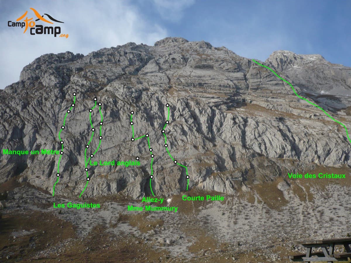
The south face of the Pic de Jallouvre with route lines; the Voie des Cristaux is the long line on the right

France · Aravis

Voie des Cristaux

Sixteen pitches of easy slabs and water-worn runnels above the Col de la Colombière, on the border between scrambling, climbing and mountaineering. Nothing is harder than 4b and most of it is grade 3, on sculpted, grippy limestone among ibex and edelweiss. Many parties carry on up the Arête des Bouquetins to the summit for a very long day.

4b16 pitches400 m
No photo yet

France · Aravis

Heididoune

A ten-pitch line to the summit of the Pointe Percée, the high point of the Aravis, following green hangers up the cool north-west face. Seven long pitches, mostly easy with a 6a+ wall, reach the notch of the Arête du Doigt; three independent pitches finish it, including a memorable slab traverse of 6b+ that can be aided on the bolts.

6b+10 pitches400 m

Read the cautions

Around 5b+ · about 11 pitches

Similar elsewhere

East face of the Dent d'Orlu (lower part), seen from the approach path

France · Ariège Pyrenees

Pink Floyd

Consistent, low-angled slab climbing on compact granite, with 10 pitches of 5a–5b+ on the big east face. Above all it is a long, sunny-morning moderate.

5b+10 pitches400 m

Read the cautions

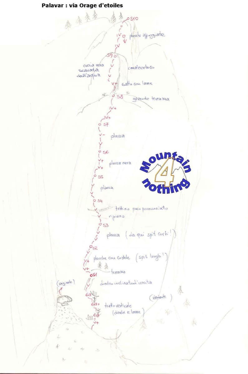
Hand-drawn sketch topo of Orage d'étoiles, Ailefroide

France · Ailefroide

Orage d'étoiles

One of the best-known slab routes at Ailefroide: eleven pitches up the big inclined plane on the foothills of the Pelvoux, directly above the village. The style never changes, slab from bottom to top, mostly 5b with two pitches of 5c. The approach gully, damaged by a rockfall in 2013, is the serious part of the day.

5c11 pitches300 m

Read the cautions

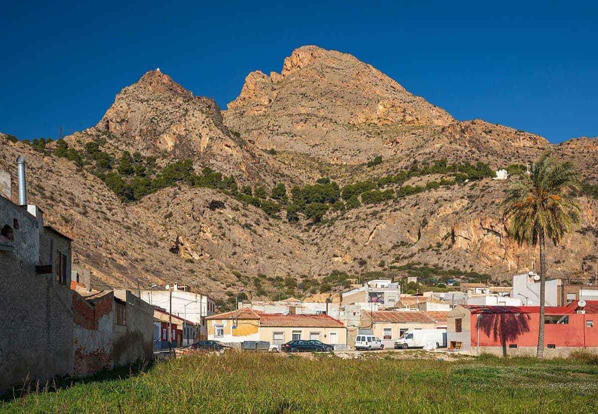
Sierra de Callosa above Redován

Spain · Vega Baja (Orihuela & Callosa)

Espolón P.D.P.

A long, steady V+ spur to the summit of the Sierra de Callosa on exceptional rock. Many terraces allow a safe retreat, which makes it good mileage for building multipitch experience. Check local seasonal climbing restrictions in the Sierra de Callosa.

5+9 pitches500 m

Read the cautions

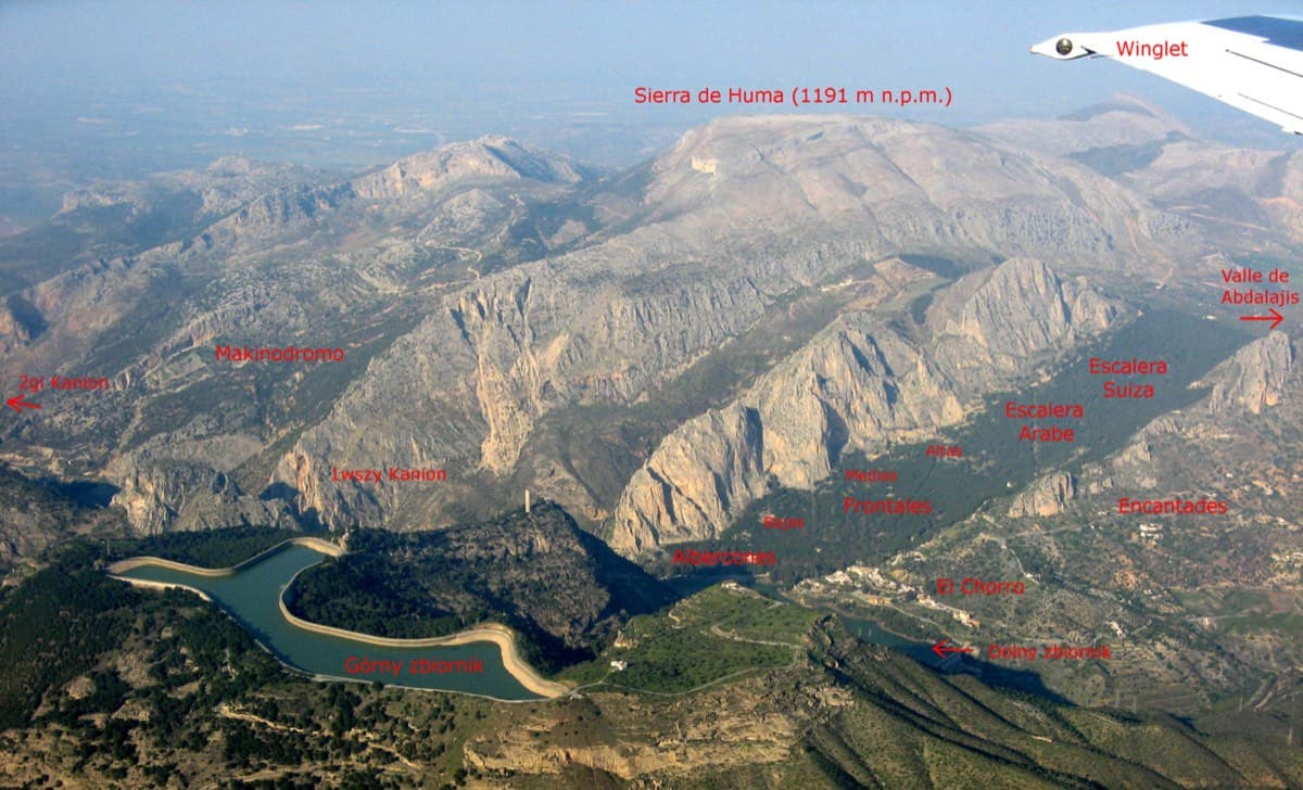
Annotated aerial view of El Chorro showing Frontales, Escalera Árabe and Escalera Suiza (labels in Polish)

Spain · El Chorro

Blue Line

The longest easy line in El Chorro. It starts up a broken corner-ramp, then climbs a steeper wall trending right to the top. It's uncommitting and easy to link pitches, with some loose rock to watch for.

5c12 pitches310 m

Compiled from published sources and last verified October 2026. Bolts, anchors and access change. Climbing is dangerous and you are responsible for your own decisions: check a current topo and read the disclaimer.