Multipitch Atlas

Au nom de la Réforme

Taoujdad – west face · Taghia · Morocco

Easy to bailBolting confidence: high

The classic first route at Taghia: steep, water-sculpted red limestone on the west face of the Taoujdad, with a 6c third pitch that is 6b until a short crux below the belay. It is better bolted than most Taghia routes and correspondingly popular, so some pitches are polished.

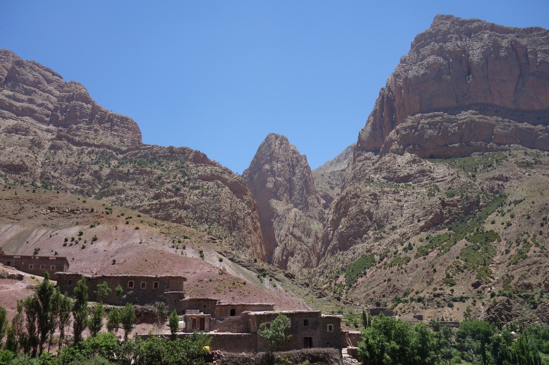
Taghia village beneath the pointed tower of the Taoujdad (centre), with the Oujdad massif at the right; the west face is the tower's right-hand flank, turned towards the Oujdad.Photo: Wolf Gang · CC BY-SA 2.0

Photo

Taghia village beneath the pointed tower of the Taoujdad (centre), with the Oujdad massif at the right; the west face is the tower's right-hand flank, turned towards the Oujdad.Photo: Wolf Gang · CC BY-SA 2.0
Hardest pitch
6c
Pitches
7
Length
300 m
Approach
60 min
Aspect
W
West-facing
Rope
2×50 m

The route

Overview

Seven pitches up the very steep red west face of the Taoujdad, opened in 2003 and listed in 'Parois de légende'. After an easy ramp the climbing is 6a, 6c, 6b+, 6a+, a short 5a link and a final 6b+, on sharp edges and water-drop pockets. It is the standard introduction to Taghia because it is fully and fairly generously bolted, which is not the norm here; the obligatory grade is still 6b. The original route ends at R7, where you can abseil, and two further easy but poorly protected pitches lead to the summit.

In pictures

Photos

Approach photo

The climbing

Pitch by pitch

Pitches of Au nom de la Réforme
PitchGradeLengthNotes
P1340 mUp the lower, comma-shaped ramp, then cross to its far side and down-climb 2 m to a belay between and below two bushes. Do not stop at the first belay you meet at the top of the ramp. Camptocamp gives about 50 m, a 2024 party 40 m.
P26a30 mA zigzag pitch on positioning; watch the rope drag.
P36c35 mSustained 6b, then a short 6c section just below the belay. The key pitch, and the most polished.
P46b+25 mA technical crux straight off the belay, then easier. A 2026 party noted a long gap between bolts here.
P56a+45 mA long, even pitch with some crack climbing; watch the rope drag. Given 6a or 6a/b by some.
P65a15 mA short link across steps. Take care not to knock stones off. It can be joined to the pitch before or after if you manage the drag.
P76b+40 mUp the last steep wall, a slab with a harder passage under the small final overhang. Several parties call it the best pitch. End of the original route.

Getting there

Approach

To the parking

From Marrakech go via Azilal to Zaouiat Ahansal: about 250 km and 5 to 6 hours, on tarmac throughout. From Zaouiat you walk up to Taghia or, since 2023, the gîtes can drive you up a track by 4x4. The gîtes in Taghia (Saïd's and Mohamed Amil's are the ones named in reports) offer half board and can arrange the taxi from Marrakech.

On foot · about 60 min

About 1 hour. From Taghia follow the path on the right bank, then the left bank, of the stream past the springs to the gully between the Oujdad and the Taoujdad. Climb the gully and pass a huge jammed block, where logs have been placed to help. Some 80 to 150 m higher, where the gully steepens, take a comfortable cairned ledge on the left and follow ledges and easy steps leftwards to the ramps at the foot of the west face. The route starts up the lower of the two rising ramps. Do not expect handrails at the block: the 'fitted passage' is a few logs. A 2026 party went up the wrong canyon and lost 1.5 hours.

Finding the route · 3 photos

  • Walk-inThe springs of Taghia on the walk-in from the village, with the Taoujdad tower in the gap behind: the path follows the stream up to here.Photo: davaz · CC BY-NC-ND 3.0
  • Walk-inInside the gully between the Oujdad and the Taoujdad, looking back down towards the Taghia valley: the approach climbs this stony bed before the ledges lead off left.Photo: Clement Dury · CC BY-NC-ND 3.0
  • OverviewThe gully that separates the Oujdad from the Taoujdad, seen from high on the west face: the approach comes up its bed, and it is also the way down.Photo: VINCENT · CC BY-NC-ND 3.0

Approach photo

Map of the walk-in

  • Area: approximate

Loading map

The point is approximate: it marks the area, not the crag.

Coordinates · area: approximate

31.78014, -6.06288

Point from camptocamp waypoint 43127

For your phone or watch

Download GPX

Contains the route point. Opens in most mapping apps and GPS watches.

Points are compiled from published sources, with the precision stated above. They were not surveyed on the ground: check them against a current topo.

Getting down

Descent

Three options. (1) From R7 abseil the route; the first-ascent topo says 50 m abseils and to bring cord to replace the tat. A 2024 party went down in five abseils using two belays of the neighbouring À boire, ou j'tue l'chien, and warns of ropes jamming. (2) From R7 abseil the route immediately to the right; carry a maillon and cord, as they are sometimes stolen. (3) Climb two more pitches to the summit (5b and 5b/c, or about 80 m of easy ground with a single bolt according to a 2026 party), follow cairns to a 35 m abseil from a chain, then tracks back to the approach gully; allow 1 to 1.5 hours.

Retreat

Bailing off the route

Easy to bail

Abseiling from R7 is one of the standard descents and the belays are bolted, so you can retreat from any belay on the original route. The first-ascent topo gives 50 m abseils. Reports mention ropes jamming and tat that needs replacing.

Retreat from
Any belay up to R7. A May 2026 party on the neighbouring El Geonauta escaped a storm by traversing into these abseils.
Point of no return
R7. Beyond it the summit pitches are sparsely bolted and the descent is on foot by a different way.
Carry
2×50 m ropes, spare cord and a maillon.
Basis
Stated in the sourcesCamptocamp and the first-ascent topo both describe the abseil descent; trip reports confirm it.

Safety

Hazards

  • Polish: a 2024 party found every pitch heavily polished and would not recommend the route; a May 2026 party found no polish worth mentioning. Expect some on the cruxes.
  • The two pitches above R7 are sparsely bolted; they are not part of the bolted route.
  • Ropes can jam on the abseils.
  • The approach gully is the only way home and is dangerous in rain: a May 2026 party watched a fridge-sized block fall into it during a storm.
  • In April 2025 the footbridge was missing and the stream was high; parties waded to reach the gully.
  • There is no mountain rescue service in Morocco.

Sun and weather

Conditions

West face of a 2600 m summit. In shade in the morning; the sun reached the last two pitches at about 12:30 in late October, and an April party was cold at the start and too hot by the end. Reports cluster in April to May and October to November.

Usual season · Apr to Jun, Sep to Oct

Sun on the wall · W-facing

Working out the sunlit hours for this month.

  • January: not yet worked out
  • February: not yet worked out
  • March: not yet worked out
  • April (usual season): not yet worked out
  • May (usual season): not yet worked out
  • June (usual season): not yet worked out
  • July: not yet worked out
  • August: not yet worked out
  • September (usual season): not yet worked out
  • October (usual season): not yet worked out
  • November: not yet worked out
  • December: not yet worked out

Sun on the wallDaylight, wall in shade● Usual season

Estimated from the wall's aspect only. Ignores surrounding terrain, gullies and the wall's exact shape. Clock times are local to the wall (Moroccan time), for the 15th of each month.

Monthly climate averages for Taghia, 1991-2020
MeasureJanFebMarApr (usual season)May (usual season)Jun (usual season)JulAugSep (usual season)Oct (usual season)NovDec
Mean daily high °C8912161924282823181310
Mean daily low °C−4−3−0361014141061−2
Rain days 1 mm or more568101197109865

● marks the usual climbing season. Averages for 1991-2020 at about 1927 m. Area climate from Open-Meteo reanalysis. Temperatures are adjusted to the height of the crag; rain comes from a grid cell of about 10 to 25 km, and summer highs on sea cliffs can read a few degrees low. The wall and valley can differ. Data: Open-Meteo, CC BY 4.0.

What to carry

Gear

10 quickdraws plus belay gear and 2×50 m ropes. A few nuts or one or two cams only if you continue to the summit. Spare cord and a maillon for the abseils. Helmet.

Checklist

Quickdraws
10
Rope
2×50 m
Helmet
One each
Abseil device and prusik
The descent or the retreat involves abseiling
Maillons or spare karabiners
To leave behind if you retreat
Cord
Mentioned for retreat

Derived from the route data; check it against a current topo

From climbers

Reader reports

Reader reports are not being collected yet. Until they are, check a current topo and the local club or guidebook publisher for recent changes to Au nom de la Réforme.

Worth knowing

Tips

  • Allow 3.5 to 5 hours on the route.
  • A May 2026 party hauled a small sack without trouble.
  • Fit parties combine it with Champion du Maroc, which starts a few metres away, in one day.

Open questions

Where sources disagree

  • Pitch grades: camptocamp gives 3, 6a, 6c, 6b+, 6a+, 5a, 6b+; the first-ascent topo gives 3b, 6a, 6c, 6b/c, 6a/b, 5a, 6b/c; a 2024 party gives 6a for pitch 5 and 4c for pitch 6.
  • Summit pitches: 5b and 5b/c on the French camptocamp page, 4+ on the Spanish page, 'two pitches of more than 60 m' and 'about 80 m with one bolt' in 2026 reports.
  • Aspect: south-west in the camptocamp data, west face on the first-ascent topo and in most reports.
  • Polish: severe according to a 2024 report, not noticed by a 2026 party.
  • Length of the first pitch: about 50 m (camptocamp) or 40 m (2024 party). The 300 m headline includes the summit pitches; the seven pitches as measured by the 2024 party total about 230 m.

Provenance

Sources

Same area

More in Taghia

All routes in Taghia
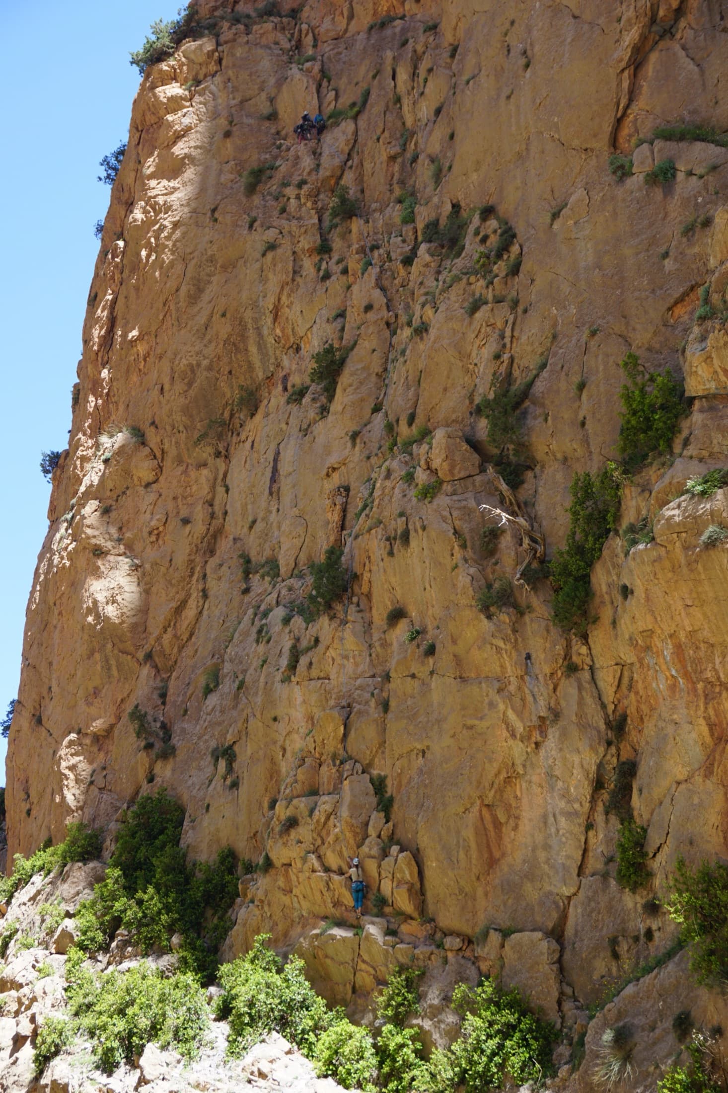
The orange limestone of the Paroi des Sources at Taghia, with climbers on its routes.

Morocco · Taghia

Les babouches de Mostafa

The friendly way into Taghia, starting at the water's edge beside the springs. Seven varied pitches, well bolted by Taghia standards. Go left around the unstable rock below the second belay; fragile blocks are marked in red. In shade until midday.

6b7 pitches270 m

Committing
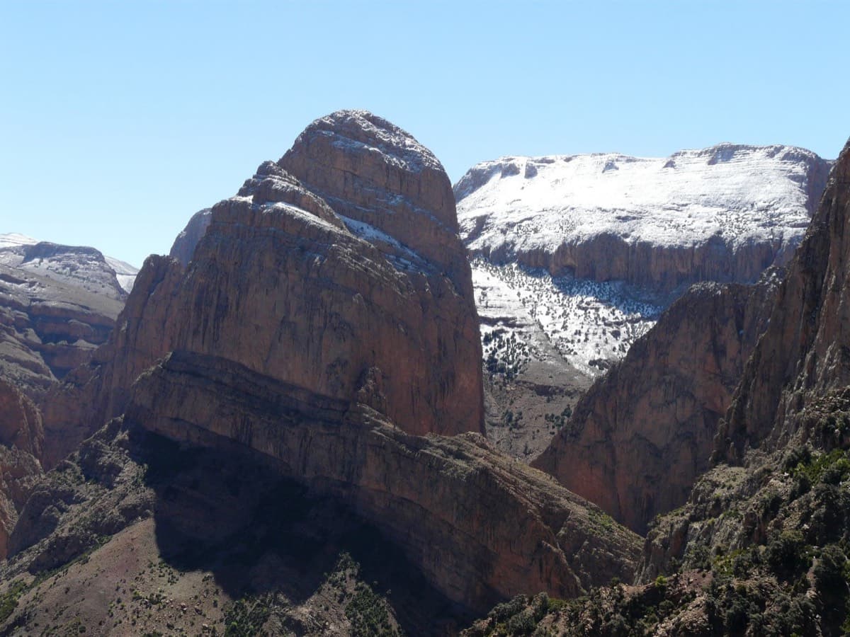
The Oujdad above Taghia

Morocco · Taghia

Ibtisane

The easiest bolted line at Taghia: three steep 5c walls linked by two long, easy garden pitches. Goes into shade around midday in April.

5c5 pitches235 m

Read the cautions

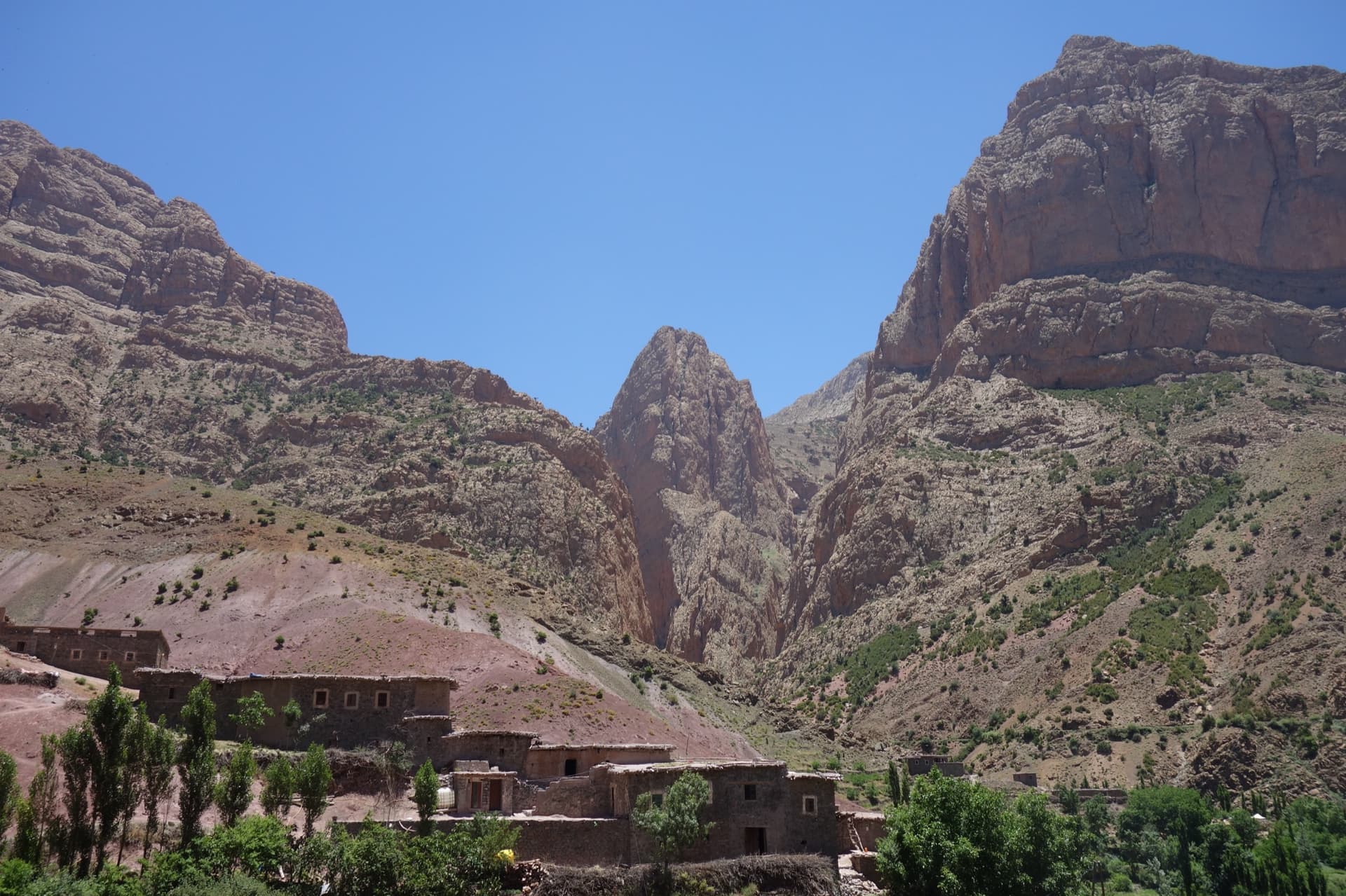
Taghia village beneath the pointed tower of the Taoujdad (centre), with the Oujdad massif at the right; the west face is the tower's right-hand flank, turned towards the Oujdad.

Morocco · Taghia

Champion du Maroc

Five pitches on new, very rough red rock just right of Au nom de la Réforme. The first three are steep, fingery and continuous with one short crux each; the last two are much easier. The original grades are 7a+, 7a and 6c+, now widely thought generous, and the cruxes are bolted closely enough to pull through.

6c+5 pitches200 m

Taghia village beneath the pointed tower of the Taoujdad (centre), with the Oujdad massif at the right; the west face is the tower's right-hand flank, turned towards the Oujdad.

Morocco · Taghia

El Geonauta

A less-travelled neighbour of Au nom de la Réforme: a sustained 6b crack pitch, an unusual 6c that climbs through a hole and out left with one bouldery move, then three long pitches of 6a to 6a+ up a pillar. Getting off cleanly means either the sparsely bolted summit pitches or a short traverse to the Réforme abseils.

6c6 pitches190 m

Read the cautions

Around 6c · about 7 pitches

Similar elsewhere

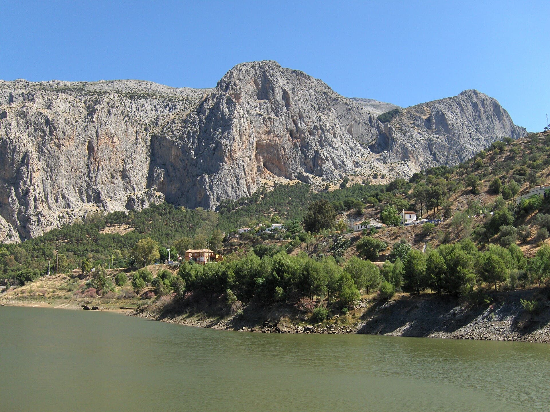
The Frontales cliffs above El Chorro seen across the Tajo de la Encantada reservoir, with the big Poema de Roca cave at the foot of the central dome. Apocalipsis is on this wall; the line is not marked.

Spain · El Chorro

Apocalipsis

Seven pitches up a steep south face at Frontales, sustained, physical and technical on very rough, unpolished limestone. The fifth pitch (6b+) is a thin slab and the sixth (6c) has a strenuous start and a crux on grey rock. It is one of the few 6c multipitch lines here with a clean abseil descent.

6c7 pitches195 m

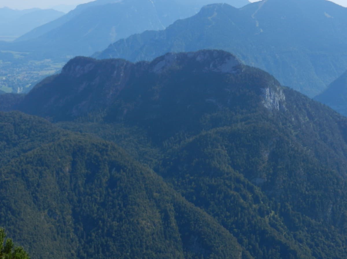
The Rabensteinhorn seen from the Ristfeuchthorn to the west

Germany · Berchtesgaden & Bad Reichenhall

Schmetterlings Kant'n

A steep, athletic line up the pillar right of the Schönheitskönigin von Schneizlreuth, reached by one pitch of that route and one of Alpinmodel. Four independent pitches of UIAA 6 to 7+ on very good rock, then the last pitches of the Schönheitskönigin.

6c7 pitches170 m

Read the cautions

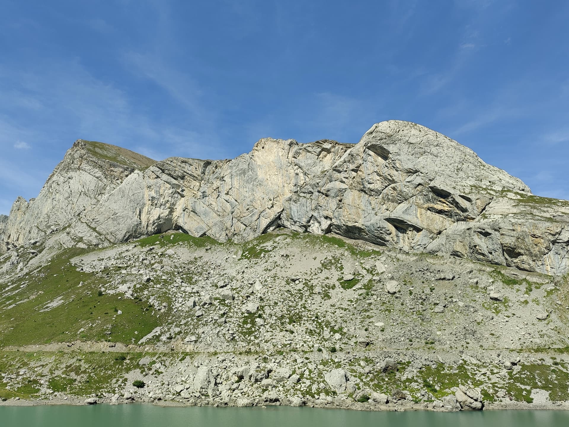
The limestone wall of Les Montons above the Lac de Sénin at the Sanetsch.

Switzerland · Sanetsch

Follomi

The classic introduction to the Sanetsch at 6c: eight varied pitches up a pillar of superb rough limestone, with the hard climbing packed into a few well-bolted metres on each pitch. A steep corner mantel, a balancy wall, a fine slab and an airy exit from a niche. Tops out on grassy slopes with a walk-off.

6c8 pitches250 m

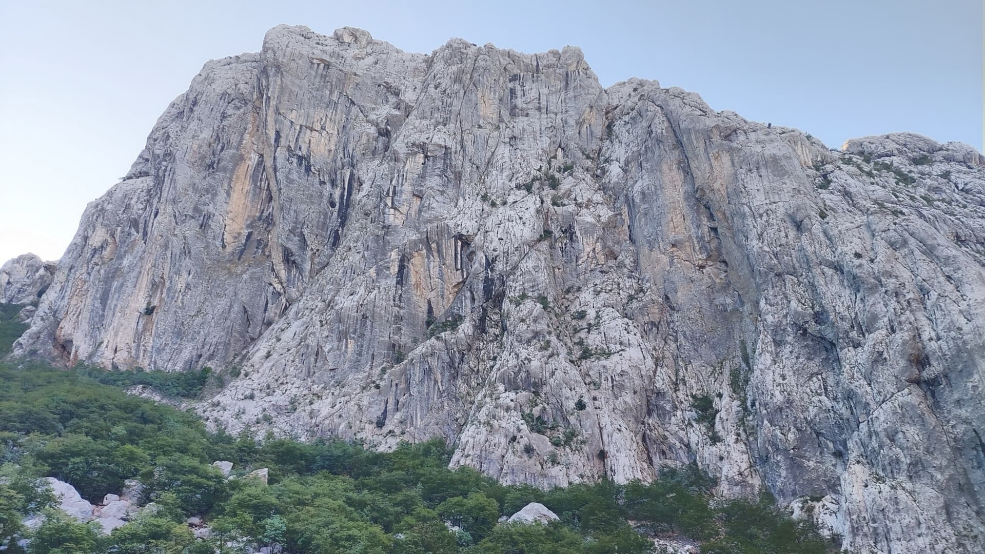
Anića kuk seen from the north-west across the head of the Velika Paklenica canyon, with the north face on its left-hand side; the exact line is not marked.

Croatia · Paklenica

Alive

Seven sustained pitches of 6a to 6c on the shady north face of Anića kuk, then an easy scramble out. A poor first pitch gives way to a steep ramp, a slightly overhanging 6c wall, an off-width and a fine finishing slab. The rock improves with every pitch.

6c8 pitches220 m

Compiled from published sources and last verified October 2026. Bolts, anchors and access change. Climbing is dangerous and you are responsible for your own decisions: check a current topo and read the disclaimer.