Multipitch Atlas

Ibtisane

Oujdad (above the springs) · Taghia · Morocco

Read the cautionsBail with caveatsBolting confidence: medium

The easiest bolted line at Taghia: three steep 5c walls linked by two long, easy garden pitches. Goes into shade around midday in April.

The Oujdad above TaghiaPhoto: jeandavy · CC BY-SA 3.0

Photo

The Oujdad above TaghiaPhoto: jeandavy · CC BY-SA 3.0
Hardest pitch
5c
Pitches
5
Length
235 m
Approach
–
Aspect
W
West-facing
Rope
1×60 m
walk-off
Read before you go

Bolted and only 5c, but with about seven bolts per 45–50 m pitch, admittedly poorly placed bolts, unlinked belays and loose rock reported in 2024.

The route

Overview

Five pitches on the lower west flank of Oujdad, directly above the Taghia springs: three fairly vertical 5c walls separated by two long, easy pitches across vegetated ledges. Since 2016 it has been the easiest bolted route at Taghia. It is not a clip-up: the hard pitches have about seven bolts in 45 to 50 m, the openers' page admits the bolts are not always well placed, and a 2024 party found the rock very loose in places. Expect an adventurous feel for the grade, with views down onto the Paroi des Sources and the village.

The climbing

Pitch by pitch

Pitches of Ibtisane
PitchGradeLengthBoltsNotes
P15c45 m7 boltsA fairly vertical start leads to a belay just below the big grassy ledge. Pass a tree on its right a few metres before the belay.
P23b50 m1 boltsLeave the belay leftwards past the single bolt, then cross the big garden straight up to the foot of the next wall, slightly right. Two-bolt belay at the base of the wall.
P35c50 m7 boltsA pleasant, fairly vertical wall. Pass a tree on its right a few metres before the belay.
P45c40 m–Start up an arête, leave it leftwards across a sloping, rubbly ledge, then climb a fairly vertical wall. Take care leaving the ledge. A 2024 party split this pitch in two to cut rope drag.
P53b50 m–Follow the ledge right under the overhang and squeeze between a tree and the wall (rope drag) to a belay at the start of the exit ledge.

Getting there

Approach

To the parking

Taghia is a roadless Berber village in Azilal province, central High Atlas. From Marrakech it is about 5 hours by taxi to Zaouiat Ahansal (arranged through your gîte), then traditionally about an hour on foot with mules for the bags. A 2024 party reported a new jeep track that was blocked by a landslide, so ask your gîte about the current state.

On foot

From the last gîte in the village follow the stream on its right bank, cross to the left bank and climb up below the springs to the foot of the wall. The route starts about 1 to 2 m right of the first spring. No time is given; the neighbouring Paroi des Sources is under 15 min from the village.

Map of the walk-in

  • Area: approximate

Loading map

The point is approximate: it marks the area, not the crag.

Coordinates · area: approximate

31.77873, -6.06865

Point from camptocamp waypoint 43750

For your phone or watch

Download GPX

Contains the route point. Opens in most mapping apps and GPS watches.

Points are compiled from published sources, with the precision stated above. They were not surveyed on the ground: check them against a current topo.

Getting down

Descent

Walk off: follow ledges to a small col that leads back to the village, about 20 min.

Retreat

Bailing off the route

Bail with caveats

No source describes a retreat, and the route is not set up for one. Belays are two unlinked bolts, the hard pitches are 45 to 50 m, and the descent is a walk-off from the top. You could abseil if you had to, but only with two ropes and by leaving your own cord and maillons at every belay, on loose rock above the busy springs.

Retreat from
Not documented. Belay 1 sits just below the big grassy ledge and pitch 2 crosses that garden, but no source says you can walk off it. Pitches 2 and 5 are long, easy traverses across ledges (3b), which would be reversed on foot rather than abseiled.
Point of no return
None is documented. By the top of pitch 4 only a 50 m 3b ledge pitch remains before the 20 minute walk-off, so finishing is clearly the easier option from there (inference).
Carry
Two ropes of 50 m or more for the 45 to 50 m pitches (the single 60 m listed for the walk-off will not reach), plus cord and two maillons or karabiners per belay. Cord to link the belays is on the camptocamp gear list anyway.
Basis
Inferred from the route factsCamptocamp states the belays are not linked, the pitch lengths and the walk-off; no source mentions retreat, so everything about abseiling here is inferred from those facts.

Partly inferred from the route facts

Safety

Hazards

  • Sparse bolting: 7 bolts on the 45 m first pitch, 7 on the 50 m third pitch, and a single bolt on the 50 m 3b garden pitch. The route page states the bolts are not necessarily well placed.
  • A 2024 party reported the rock is sometimes very loose, with the belayer standing directly in the fall line.
  • Care is needed leaving the rubbly ledge on pitch 4.
  • Belay bolts are not linked; bring your own material.
  • The route is above the springs, a busy spot. Anything you knock off lands where people walk.
  • Taghia is remote; one guide notes a helicopter can take about two days to arrive.

Sun and weather

Conditions

West facing, about 1950 to 2150 m. Camptocamp says the route goes into shade around midday in April, while a May 2024 party found the top of pitch 1 in the sun very early in the morning; see discrepancies and ask locally. Season roughly March to June and September to November.

Usual season · Apr to Jun, Sep to Oct

Sun on the wall · W-facing

Working out the sunlit hours for this month.

  • January: not yet worked out
  • February: not yet worked out
  • March: not yet worked out
  • April (usual season): not yet worked out
  • May (usual season): not yet worked out
  • June (usual season): not yet worked out
  • July: not yet worked out
  • August: not yet worked out
  • September (usual season): not yet worked out
  • October (usual season): not yet worked out
  • November: not yet worked out
  • December: not yet worked out

Sun on the wallDaylight, wall in shade● Usual season

Estimated from the wall's aspect only. Ignores surrounding terrain, gullies and the wall's exact shape. Clock times are local to the wall (Moroccan time), for the 15th of each month.

Climate figures for Taghia are not available yet

What to carry

Gear

12 quickdraws, slings to extend bolts against rope drag, and cord or slings to link the two belay bolts (belays are not connected). Helmet. A Spanish guide to Taghia advises carrying a little removable protection even on the bolted easy routes because of the spacing; no source specifies sizes for this route.

Checklist

Quickdraws
12
Rope
1×60 m (walk-off)
Helmet
One each
Maillons or spare karabiners
To leave behind if you retreat
Cord
Mentioned for retreat

Derived from the route data; check it against a current topo

From climbers

Reader reports

Reader reports are not being collected yet. Until they are, check a current topo and the local club or guidebook publisher for recent changes to Ibtisane.

Worth knowing

Tips

  • On pitch 2, pass the bolt left of the belay and then go straight up towards the wall to find the two belay bolts (2024 report).
  • Split pitch 4 or extend generously to avoid heavy rope drag; the same applies around the tree on pitch 5.
  • If you want a better-protected first route at Taghia, 'Les babouches de Mostafa' on the Paroi des Sources next door is harder (6b) but much more closely bolted.

Open questions

Where sources disagree

  • Only camptocamp gives a description (its route page is flagged as draft quality). A Spanish guide lists it as 'Ibtisan', 235 m, 5c, sector Oujdad, and a French topo site confirms it is the easiest bolted route at Taghia, but neither adds detail.
  • Sun: camptocamp says the route 'goes into shade around 12:00 in April', which is unusual for a west face. A May 2024 report had sun on the top of pitch 1 very early, and the adjacent west-facing Paroi des Sources is described as shaded until midday. The source wording is reported as written.
  • The 2024 party climbed six pitches by splitting pitch 4.

Provenance

Sources

Same area

More in Taghia

All routes in Taghia
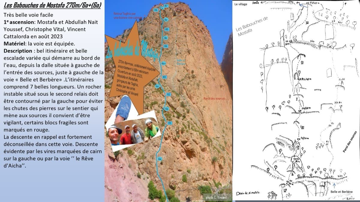
Topo of Les babouches de Mostafa on the Paroi des Sources, Taghia (photo with line and drawn topo)

Morocco · Taghia

Les babouches de Mostafa

The friendly way into Taghia, starting at the water's edge beside the springs. Seven varied pitches, well bolted by Taghia standards. Go left around the unstable rock below the second belay; fragile blocks are marked in red. In shade until midday.

6b7 pitches270 m

Committing
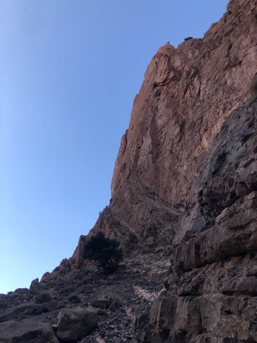
The west face of the Taoujdad from the approach, with the access ramps at its foot

Morocco · Taghia

Au nom de la Réforme

The classic first route at Taghia: steep, water-sculpted red limestone on the west face of the Taoujdad, with a 6c third pitch that is 6b until a short crux below the belay. It is better bolted than most Taghia routes and correspondingly popular, so some pitches are polished.

6c7 pitches300 m

Looking up the third pitch of Champion du Maroc on the west face of the Taoujdad

Morocco · Taghia

Champion du Maroc

Five pitches on new, very rough red rock just right of Au nom de la Réforme. The first three are steep, fingery and continuous with one short crux each; the last two are much easier. The original grades are 7a+, 7a and 6c+, now widely thought generous, and the cruxes are bolted closely enough to pull through.

6c+5 pitches200 m

Looking down the first hard pitch of El Geonauta to the ledges at the foot of the Taoujdad's west face

Morocco · Taghia

El Geonauta

A less-travelled neighbour of Au nom de la Réforme: a sustained 6b crack pitch, an unusual 6c that climbs through a hole and out left with one bouldery move, then three long pitches of 6a to 6a+ up a pillar. Getting off cleanly means either the sparsely bolted summit pitches or a short traverse to the Réforme abseils.

6c6 pitches190 m

Read the cautions

Around 5c · about 5 pitches

Similar elsewhere

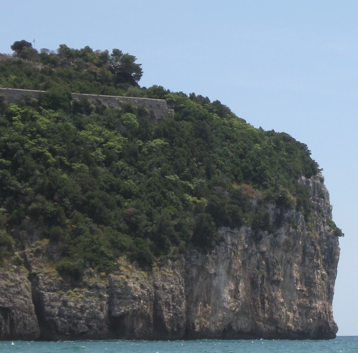
The sea cliff of Montagna Spaccata seen from the beach at Gaeta

Italy · Gaeta & Sperlonga

Via dello Spigolo

This was the second route on Montagna Spaccata and is the cliff's classic moderate. It's never hard but never trivial, with continuous exposure above the sea: a horizontal crack traverse, an athletic juggy chimney and corners. Gulliver gives UIAA grades V–V+ / IV+–V / V+ / V / V–IV+ (5c max), converted here.

5c5 pitches125 m

Read the cautionsCommitting

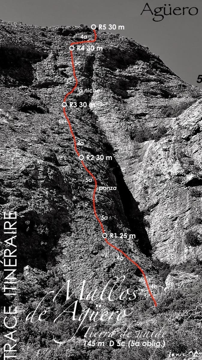
Topo of Tierra de Naide, Mallos de Agüero

Spain · Riglos & Agüero (Mallos)

Tierra de Naide

A morning-sun route at the quieter Agüero mallos. Easy slabs separate two fine steep walls, including a superb vertical 5c plaque on pitch 4. Take care with some loose cobbles on the last traverse.

5c5 pitches145 m

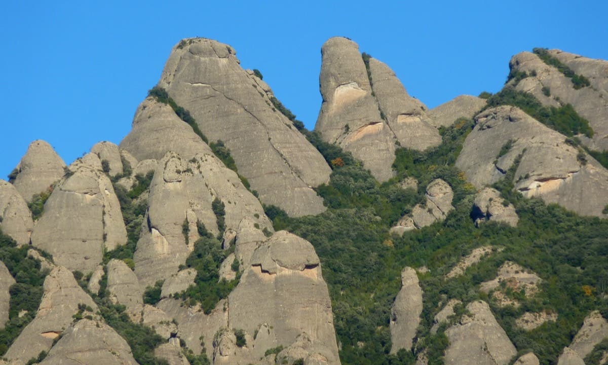
Gorra Frígia and Magdalena Superior, south-west faces, Montserrat

Spain · Montserrat

Via del Carles

A straightforward line up the 'Phrygian cap' visible from the monastery. Only the short vertical step on pitch 3 is sustained. It is a good route for learning Montserrat pebble technique and has a summit cross with a big view. The approach takes about 10 min from the Sant Joan funicular top.

5c5 pitches140 m

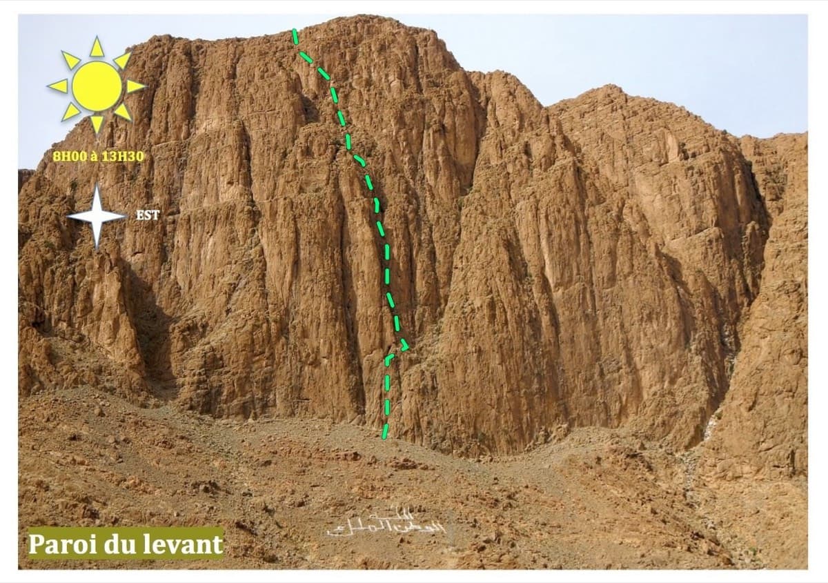
Line of The first of Ela on the Paroi du Levant, Todra Gorge

Morocco · Todra Gorge (Todgha)

The first of Ela

Five long pitches of 5c in the centre of the Levant wall, sharing its first pitch with Tromba Bitonale.

5c5 pitches195 m

Read the cautions

Compiled from published sources and last verified October 2026. Bolts, anchors and access change. Climbing is dangerous and you are responsible for your own decisions: check a current topo and read the disclaimer.