Multipitch Atlas

Gorges de la Jonte

France

The Jonte gorge cuts between the Causse Méjean and the Causse Noir in the south of the Massif Central, with pale dolomitic limestone towers and walls up to about 150 m high above the road from Le Rozier to Meyrueis. Le Rozier and Peyreleau, where the Jonte meets the Tarn, are the base villages, about 20 km from Millau. The cliffs mostly face south and are climbed from spring to autumn. Griffon vultures nest on the walls, and some routes carry seasonal notices.

Route
1
Grade span
4c
Longest route: Zébulon
100 m

Where and when

Location and climate

Loading map

Ravin des Échos, Gorges de la Jonte

Climate figures for Gorges de la Jonte are not available yet

1 route

Routes in Gorges de la Jonte

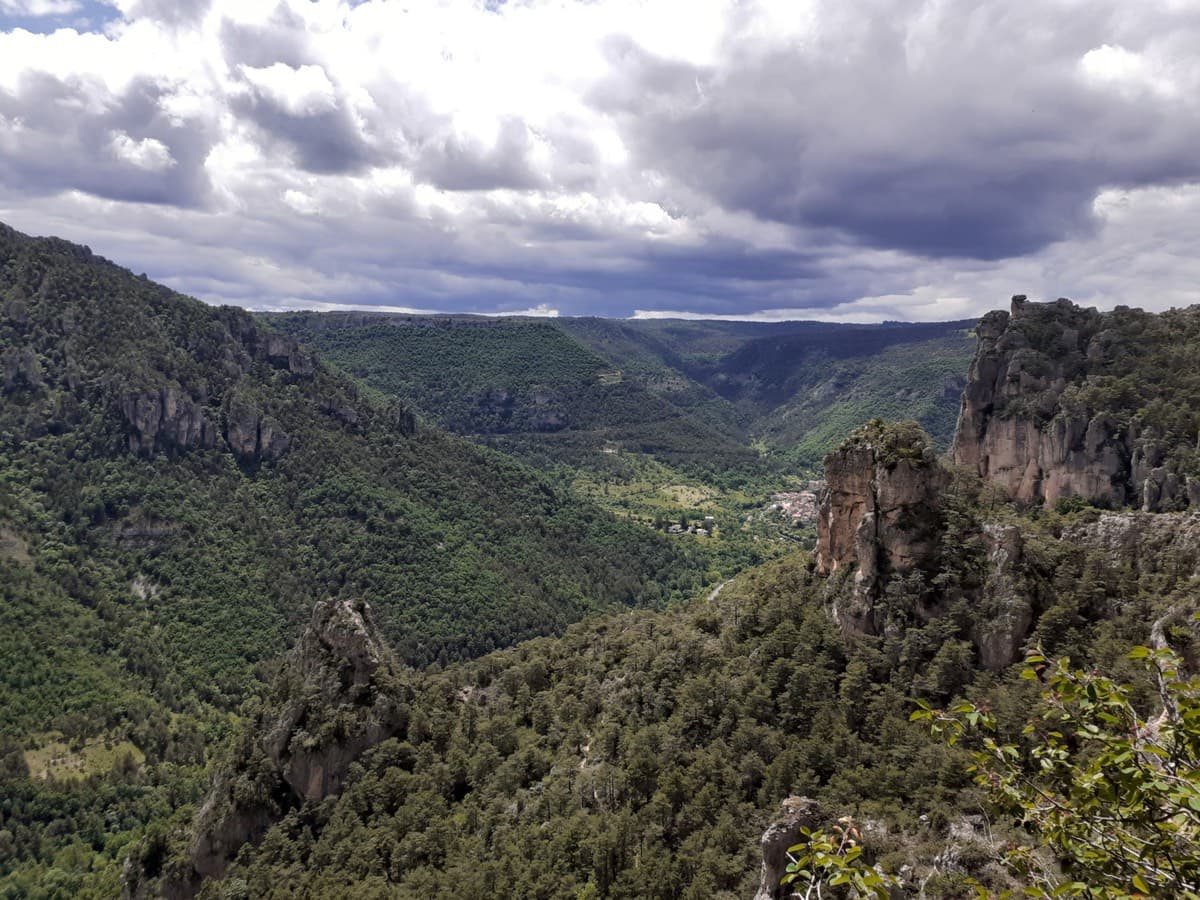
Looking down the Jonte gorge towards Le Rozier from the Ravin des Échos, photographed from Zébulon

France · Gorges de la Jonte

Zébulon

Probably the most approachable multipitch in the Jonte: four pitches of grade 3 and 4 on excellent, juggy rock up the right side of a pillar, with solid chained belays where leader and second stay in sight. Vultures circle past by late morning. The walk-off needs a little care.

4c4 pitches100 m

Local words

At the crag and in town

French

corde
rope
dégaine
quickdraw
spit, goujon
bolt
plaquette
bolt hanger
relais
belay, anchor
Sec !
Take!
Du mou !
Slack!
Avale !
Take in!

France

Other regions nearby