Multipitch Atlas

Zébulon

Ravin des Échos – L'Arête · Gorges de la Jonte · France

Bail with caveatsBolting confidence: high

Probably the most approachable multipitch in the Jonte: four pitches of grade 3 and 4 on excellent, juggy rock up the right side of a pillar, with solid chained belays where leader and second stay in sight. Vultures circle past by late morning. The walk-off needs a little care.

Looking down the Jonte gorge towards Le Rozier from the Ravin des Échos, photographed from ZébulonPhoto: Michael Dst · CC BY-NC-ND 3.0

Photo

Looking down the Jonte gorge towards Le Rozier from the Ravin des Échos, photographed from ZébulonPhoto: Michael Dst · CC BY-NC-ND 3.0
Hardest pitch
4c
Pitches
4
Length
100 m
Approach
30 min
Aspect
S
South-facing
Rope
–

The route

Overview

Zébulon runs parallel to the route called L'Arête, on the right-hand side of a pillar in the Ravin des Échos sector above Le Rozier. It gives four pitches, the last very short, with a single steep but juggy move on the first pitch. The rock is very good and well featured, and recent parties say it shows little polish despite heavy use by clubs and first-timers. It was equipped by Jean-Luc Maury. Allow one to two hours of climbing.

The climbing

Pitch by pitch

Pitches of Zébulon
PitchGradeLengthNotes
P14c30 mStraight up, then traverse right to pass a small overhang, steep but on big holds. Belay just above. Pass well to the right of the overhang. One party found this crux a little harder than it looks, and another found the bolts spaced here.
P24a30 mStraight up.
P34a30 mTrend right, then straight up to a very comfortable platform.
P43c10 mThe little ridge on the right, a level section and a short step to a tree with a chain. A fine wall on the left gives an alternative at about 5a (one party says 5b/5c). Go past the unchained belay to the chained one a few metres higher.

Getting there

Approach

To the parking

From Millau drive to Le Rozier. Either take the small road up through Le Rozier towards Capluc to its end at a telecom mast (small car park, park nose-in), or continue a few kilometres along the D996 towards Meyrueis to the main Cirque des Vases car park at the gorge entrance, marked by an SOS post. Le Rozier and Peyreleau have shops and accommodation.

On foot · about 30 min

About 30 min by either way. From the Cirque des Vases car park, spot the Pégase rock tower above the road, take the path that leads to the foot of the Cathédrale sector, then climb further towards the ravine to the foot of the ridge, where 'Arête' is painted in red. From the Capluc car park follow the GR past the foot of the Révérend to a fork with a broken old sign; take the path that descends right, then at a wooden post without a sign go left and uphill to the foot of the Cathédrale. The way is signposted ('petite Arête'). Zébulon starts right of L'Arête in a kind of dead end.

Map of the walk-in

  • Crag
  • Parking

Loading map

The point marks the crag, not the exact start of the route.

Coordinates · crag

44.19639, 3.22639

Parking

44.19222, 3.22556

D996 Cirque des Vases car park (camptocamp waypoint 187443)

Point from camptocamp waypoint 188274

For your phone or watch

Download GPX

Contains the route point and parking. Opens in most mapping apps and GPS watches.

Points are compiled from published sources, with the precision stated above. They were not surveyed on the ground: check them against a current topo.

Getting down

Descent

On foot. From the summit terrace walk 5 m north, then go right to a short, exposed but easy down-climb of 2 m, a second easy one of 2 m, and a third of about 4 m that is harder; a short abseil from a bush is possible, and parties in 2026 found fixed ropes on the down-climbs. You land in the ravine. From there either go up north to join the GR in 3 min, or, to return to the foot of the route, cross the small combe for 30 m to a steep path with fixed ropes that descends a big cleft behind the Cathédrale sector. Abseiling the route itself is described as not recommended; parties also abseil the neighbouring L'Arête in two abseils when nobody is on it.

Retreat

Bailing off the route

Bail with caveats

The belays have chains and maillons, and at least one 2026 party abseiled the route in three abseils. Camptocamp and another party advise against abseiling the line because of its shape, without giving more detail. With only four pitches and nothing harder than 4c, finishing is usually simpler.

Retreat from
Any of the three chained belays (stated). The top belay is cord on two glue-ins according to camptocamp.
Point of no return
None stated.
Carry
A rope long enough for 30 m abseils (two ropes, or one of 60 m or more; inferred from the pitch lengths).
Basis
Part stated, part inferredBelay hardware and the 2026 abseil descent are stated in camptocamp reports; the rope requirement is inferred from pitch lengths.

Partly inferred from the route facts

Safety

Hazards

  • The walk-off involves three unprotected down-climbs unless the fixed ropes are in place; a 2024 group rigged a hand line.
  • A notice at the foot in 2026 asked climbers abseiling L'Arête to avoid a vulture nest near the first abseil.
  • The first pitch was reported as spaced for novice leaders by one party.

Sun and weather

Conditions

South-facing at about 700 to 800 m. In August a party starting at 8:30 had the sun arrive at about 10:00; a September party found it very hot. In late December the first two pitches were in shade and cold. The route is popular with groups.

Usual season · Mar to Jun, Sep to Nov

Sun on the wall · S-facing

Working out the sunlit hours for this month.

  • January: not yet worked out
  • February: not yet worked out
  • March (usual season): not yet worked out
  • April (usual season): not yet worked out
  • May (usual season): not yet worked out
  • June (usual season): not yet worked out
  • July: not yet worked out
  • August: not yet worked out
  • September (usual season): not yet worked out
  • October (usual season): not yet worked out
  • November (usual season): not yet worked out
  • December: not yet worked out

Sun on the wallDaylight, wall in shade● Usual season

Estimated from the wall's aspect only. Ignores surrounding terrain, gullies and the wall's exact shape. Clock times are local to the wall (Central European time), for the 15th of each month.

Climate figures for Gorges de la Jonte are not available yet

What to carry

Gear

No source lists the rope or number of quickdraws. Pitches are 30 m, so a party abseiling would need to cover that. Helmet.

Checklist

Quickdraws
Number not given in the sources
Rope
Length not given in the sources
Helmet
One each
Abseil device and prusik
The descent or the retreat involves abseiling

Derived from the route data; check it against a current topo

From climbers

Reader reports

Reader reports are not being collected yet. Until they are, check a current topo and the local club or guidebook publisher for recent changes to Zébulon.

Worth knowing

Tips

  • For a first lead, pitches 2 and 3 are the gentlest.
  • Returning by the GR and Capluc is easy to get wrong: one party took 2 hours after missing a junction.
  • The descent through the cleft behind the Cathédrale is the quick way back to rucksacks at the base.

Open questions

Where sources disagree

  • Descent: camptocamp's text calls abseiling the route not recommended, and a March 2025 party agrees, but a May 2026 party made three abseils down it with nobody below.
  • Top belay: camptocamp says the last belay is two glue-ins with cord; a 2026 report describes a chained belay a few metres above an unchained one.
  • The tourist-board page for the Ravin des Échos gives a 5 min approach for the sector as a whole; camptocamp and trip reports give 30 min to this route.

Provenance

Sources

Around 4c · about 4 pitches

Similar elsewhere

No photo yet

Germany · Ammergauer Alpen

Wadlziaga

A short, easy alpine route of UIAA 4+ on the Schlössel above the Kenzenhütte: a water runnel, a corner and slabs, then a compact pillar to finish. Bolted where it matters but not closely. Pitch 3 has some unreliable rock and grass.

4c4 pitches140 m

Read the cautions
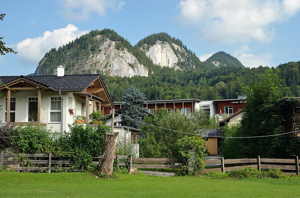
The Plombergstein and Steinklüfte cliffs above St. Gilgen, seen from the village

Austria · Salzkammergut

Juniperus

Five easy pitches up an edge above the Wolfgangsee, mostly UIAA 4 with a few moves of 5-. A slab low down and an exposed step across a cleft on pitch 4 are the memorable bits. A popular first multipitch.

4c5 pitches150 m

No photo yet

Spain · Riglos & Agüero (Mallos)

Normal a la Aguja Roja

The easiest way up a real Riglos summit: five short pitches of 4c on a ramp, a crack and a chimney, steep enough to feel like proper climbing. It is the standard beginners' route and the descent for the whole needle, so expect queues and people abseiling past you. In shade most of the day.

4c5 pitches100 m

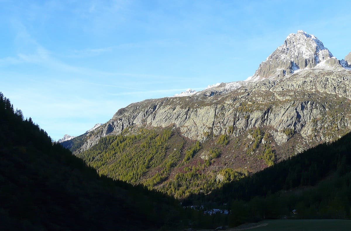
The Chéserys slabs above the forest, below the Aiguilles Rouges

France · Chamonix valley

Voie Jaune

A short, friendly slab route on the sunny gneiss of the Chéserys, facing the Mont Blanc range. Five pitches with one vertical step of 4c, chain belays and an abseil descent make it a standard introduction to multipitch climbing.

4c5 pitches150 m

Compiled from published sources and last verified October 2026. Bolts, anchors and access change. Climbing is dangerous and you are responsible for your own decisions: check a current topo and read the disclaimer.