
Austria · Salzkammergut
Wöitroas
A modern (2016–19) plaisir route that mixes nice climbing with scrambly and wooded sections. One pitch is UIAA 6/6+ and one is 6; the rest is easier. Quick in and out.
6a+9 pitches270 m
Plombergstein, St. Gilgen · Salzkammergut · Austria
Bail not documentedBolting confidence: high
Five easy pitches up an edge above the Wolfgangsee, mostly UIAA 4 with a few moves of 5-. A slab low down and an exposed step across a cleft on pitch 4 are the memorable bits. A popular first multipitch.
The route
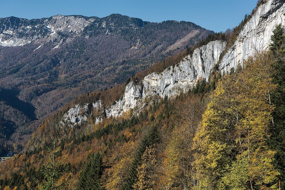
bergsteigen.com calls Juniperus probably the best multipitch on the Plombergstein, the limestone crag above St. Gilgen. It follows an edge for five pitches, partly quite exposed, with the Wolfgangsee below. The difficulties are a slab in the lower part and a wide step across a cleft in the middle of the wall. The climbing is mostly UIAA 4 with a few moves of 5- (about 4c), and the site recommends it for people new to multipitch climbing.
The climbing
| Pitch | Grade | Notes |
|---|---|---|
| P1 | – | Slabs, with some grass that does not get in the way. The wire threads here were replaced with bolts in 2015. The slab at the end of the pitch is one of the two harder passages. |
| P2 | – | Not described in open sources. |
| P3 | – | A good slab. |
| P4 | – | The highlight: a wide step across a cleft in the middle of the wall. Do not step too low onto the far side. |
| P5 | – | Two finishes: a direct variant and a line to the right. Watch for loose stones. The last belay is in the shade under trees. |
Getting there
St. Gilgen is 15 km from the A1 motorway (exit Mondsee from the east, exit Thalgau from Salzburg). Park in the car park opposite Gasthof Mühlradl on the main road, at about 630 m. Buses run to St. Gilgen, stop Gasthof Mühlradl. Use the roadside car park only: the page for the neighbouring route Roberto warns of trouble with landowners otherwise.
About 30 min. From the car park follow a road diagonally uphill and, shortly after a wayside shrine, turn right towards the Plombergstein; the sport crag is 5 min further. Follow the stream downstream to a signpost for the Steinklüfte on the left. Take that path for about 5 min to a saddle after a short rise, then go up left beside boulders to the starts.
Loading map
The point marks the crag, not the exact start of the route.
Parking
Car park opposite Gasthof Mühlradl
Point from bergsteigen.com touren/klettern/juniperus-plombergstein (marker labelled approximate)
Contains the route point and parking. Opens in most mapping apps and GPS watches.
Points are compiled from published sources, with the precision stated above. They were not surveyed on the ground: check them against a current topo.
Coordinates: 47.77680, 13.36070 (crag) · Parking: 47.77290, 13.35380
Getting down
On foot, about 30 min. From the top follow path traces to the right to the hiking trail, descend it along the wall to the saddle, and return to the car park the way you came. Just before the saddle you pass the Hangelschuppe, a single pitch of grade 4 across a giant flake that bergsteigen.com recommends as an extra; you abseil from its first belay, free-hanging.
Retreat
Bail not documented
Retreat is not documented. The normal descent is on foot from the top and no source describes abseiling the route or how the belays are rigged. Pitches are short enough that a 50 m rope would reach between belays if they are equipped, but that is not confirmed.
Partly inferred from the route facts
Safety
Sun and weather
South-east facing at about 700 to 800 m. bergsteigen.com gives April to October as the season and advises against the route when wet. Photo notes on the page show ascents in mid November in dry autumns, and the wall is hot in summer sun.
Sun on the wall · SE-facing
Working out the sunlit hours for this month.
Sun on the wallDaylight, wall in shade● Usual season
Estimated from the wall's aspect only. Ignores surrounding terrain, gullies and the wall's exact shape. Clock times are local to the wall (Central European time), for the 15th of each month.
Climate figures for Salzkammergut are not available yet
What to carry
12 quickdraws, a 50 m single rope and a helmet (bergsteigen.com). Camptocamp says about ten quickdraws and 1×50 m. No nuts or cams are listed.
Derived from the route data; check it against a current topo
From climbers
Reader reports are not being collected yet. Until they are, check a current topo and the local club or guidebook publisher for recent changes to Juniperus.
Worth knowing
Open questions
Provenance
Same area
Austria · Salzkammergut
A modern (2016–19) plaisir route that mixes nice climbing with scrambly and wooded sections. One pitch is UIAA 6/6+ and one is 6; the rest is easier. Quick in and out.
6a+9 pitches270 m
Around 4c · about 5 pitches
Spain · Riglos & Agüero (Mallos)
The easiest way up a real Riglos summit: five short pitches of 4c on a ramp, a crack and a chimney, steep enough to feel like proper climbing. It is the standard beginners' route and the descent for the whole needle, so expect queues and people abseiling past you. In shade most of the day.
4c5 pitches100 m
France · Chamonix valley
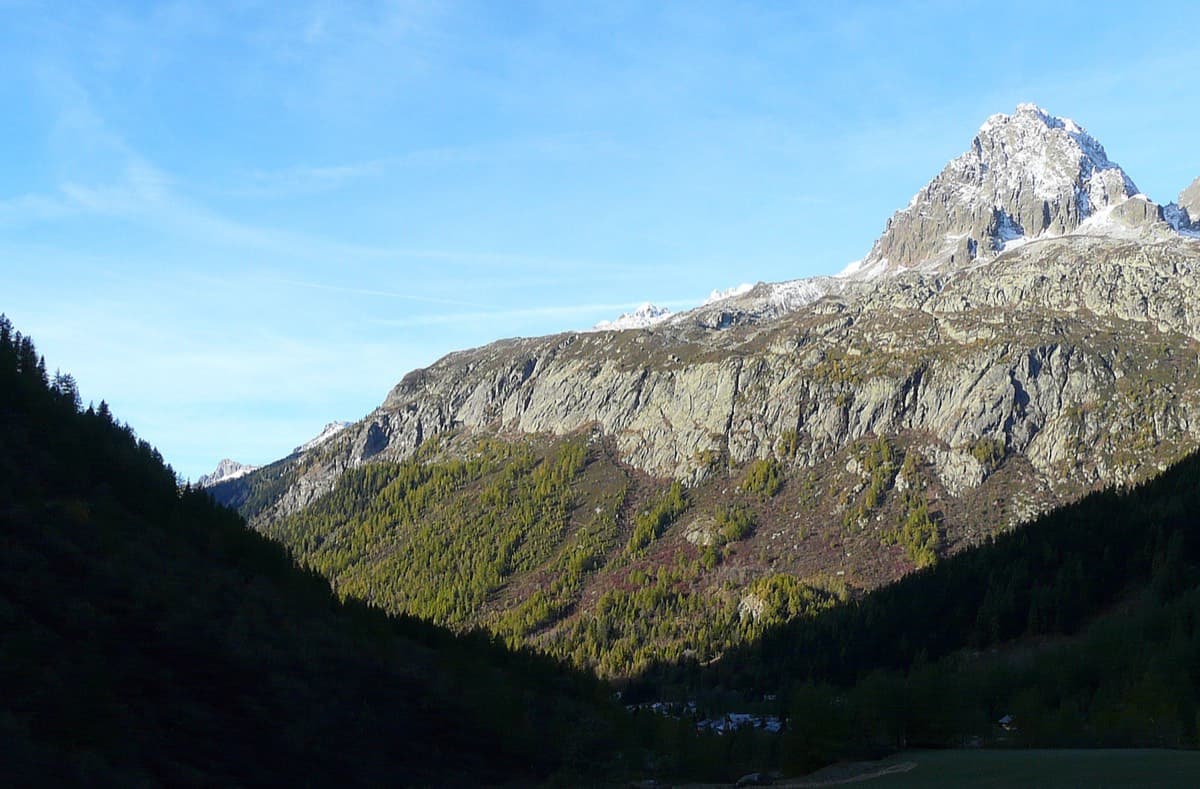
A short, friendly slab route on the sunny gneiss of the Chéserys, facing the Mont Blanc range. Five pitches with one vertical step of 4c, chain belays and an abseil descent make it a standard introduction to multipitch climbing.
4c5 pitches150 m
France · Calanques
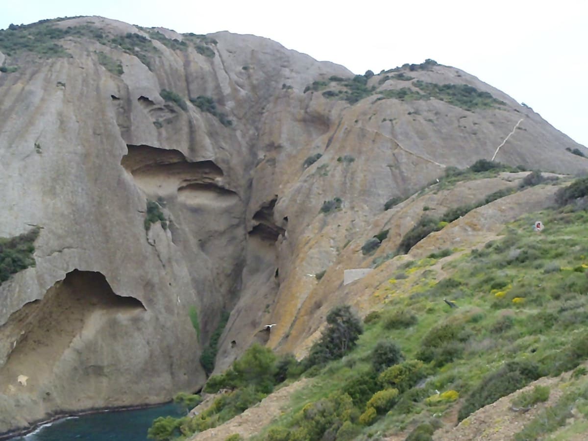
An oddity: easy slabs and a long water-worn runnel up a dome of puddingstone above the sea, reached by abseiling into a cove from the Mugel park. The climbing is grade 3 and 4 on surprisingly solid pebbles. It was fully rebolted in 2024 and is a popular first multipitch.
4c6 pitches220 m
Spain · Western Aragonese Pyrenees (Lizara)
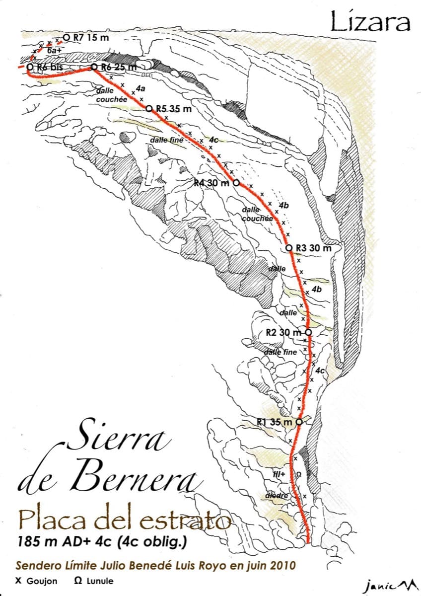
Six pitches of easy limestone slab up the great folded stratum above the Lizara refuge, parallel to the unbolted Chimenea del Estrato. Friction and small edges at 4b to 4c, with runnels on the upper pitches, in a high pasture setting. A mountain day at a beginner's grade, with an hour's walk in.
4c6 pitches185 m
Compiled from published sources and last verified October 2026. Bolts, anchors and access change. Climbing is dangerous and you are responsible for your own decisions: check a current topo and read the disclaimer.