Multipitch Atlas

L'Atelier Bleu

Bec de l'Aigle (La Ciotat) · Calanques · France

Bail with caveatsBolting confidence: high

An oddity: easy slabs and a long water-worn runnel up a dome of puddingstone above the sea, reached by abseiling into a cove from the Mugel park. The climbing is grade 3 and 4 on surprisingly solid pebbles. It was fully rebolted in 2024 and is a popular first multipitch.

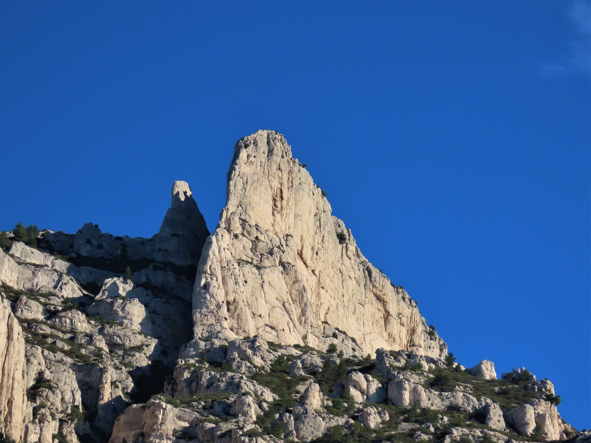
The east face of the Bec de l'Aigle, a single sweep of puddingstone falling into the Anse du Sec at La Ciotat, photographed on the approach to L'Atelier Bleu; the route climbs this face, the line is not marked.Photo: Sebastiaan Verbeke · CC BY-NC-ND 3.0

Photo

The east face of the Bec de l'Aigle, a single sweep of puddingstone falling into the Anse du Sec at La Ciotat, photographed on the approach to L'Atelier Bleu; the route climbs this face, the line is not marked.Photo: Sebastiaan Verbeke · CC BY-NC-ND 3.0
Hardest pitch
4c
Pitches
6
Length
220 m
Approach
–
Aspect
E
East-facing
Rope
2×50 m
or 1×50 m if you use the belvedere access

The route

Overview

L'Atelier Bleu climbs the east flank of the Bec de l'Aigle, the conglomerate headland beside the Mugel park in La Ciotat. You abseil into the back of a cove a few metres above the water, then climb six pitches of slab and gully back to the crest, none harder than 4c. The route dates from 1993 and was rebolted and extended to the ridge in February 2024, with the approach, escape and return secured at the same time. Recent parties call it very easy and well equipped, with comfortable belays that take two parties. The bolts are painted yellow because they are hard to see against the pebbles.

In pictures

Photos

Approach photo

The climbing

Pitch by pitch

Pitches of L'Atelier Bleu
PitchGradeLengthBoltsNotes
P14b35 m8 boltsDo not start up the vegetated bed of the gorge. Climb straight up for 8 m above the starting belay, then trend left to a comfortable belay on three glue-ins in a slight hollow.
P24b45 m12 boltsA low-angled slab (3c) diagonally left, going well left after the second bolt to take the next step at its steepest, well-bolted point. Aim for the foot of the runnel on the left, turn the corner at its base and climb 7 m up it to a belay on three glue-ins. The belay sits in the line of anything falling down the runnel.
P34c47 m12 boltsUp the runnel, a little steeper, passing a flake on the left near the belay. Belay on four glue-ins.
P44a35 m10 boltsThe runnel opens out. Where it fades, continue straight up and slightly right to a belay on two glue-ins and a bolt.
P54a15 m4 boltsStraight up, staying a little right of the runnel on the slab and aiming for a big bush. Belay on three glue-ins just above it. You can escape from here by traversing right on the level (a glue-in protects the traverse; red dots).
P64b45 m8 boltsOptional pitch to the crest. The bolts are more spaced and the rock is good but a little mossy. Straight up above the belay, over a tiny overhang, then straight on and slightly left to a two-bolt belay with chain and abseil ring near the ridge. A 2026 party was advised by a local to skip it.

Getting there

Approach

To the parking

Drive through La Ciotat following signs for 'Calanques', then 'Figuerolles' and 'Parc du Mugel'. Parking near the park is paid except in winter (2013 information), with free street parking reported out of season. The park entrance is about 250 m south of the car park. The park is open from 9:00 to 18:00 in winter and 8:00 to 20:00 from April to September, so plan to be out before it closes. A sign at the gate still says climbing is forbidden, but camptocamp reports written permission from the town hall and recent parties were let through.

On foot

Two options, both from the Mugel park. Option 1: walk to the foot of the impluvium (the concrete rain-catchment slab), take a faint path left into a thicket, then down a narrow, steep little gorge with a rock wall on your right. Where the vegetation ends, follow a faint line down and right across the conglomerate for about 20 m to a chained abseil station hidden behind a slight bulge (red mark, two glue-ins for a hand line). A 2025 party stresses that you must not go straight down or far left: if you find two slings on a tree you are wrong. One 45 m abseil lands in a cleft 5 m above the sea; from its foot a short horizontal traverse on three bolts reaches the start. Option 2, which works with a single 50 m rope: from 5 m on the town side of the belvedere make a 20 m abseil to a terrace, traverse on bolts, make a short second abseil of about 10 to 15 m, then traverse to the same start. No source gives an overall approach time.

Finding the route · 3 photos

Approach photo

Map of the walk-in

  • Crag
  • Parking
  • GPS line

Loading map

The point marks the crag, not the exact start of the route.

GPS line: one party's recorded GPS track of the walk-in. One party's recorded walk on 1 June 2026 through the Parc du Mugel to the impluvium above the route and back, continuing on foot to the old port of La Ciotat. It does not include the abseil or the climb. Do not follow it blindly.

GPS line: janic · CC BY-NC-ND 3.0

Coordinates · crag

43.16128, 5.60614

Parking

43.16791, 5.60513

Parc du Mugel car park, La Ciotat (camptocamp waypoint 417738)

Point from camptocamp waypoint 219774

For your phone or watch

Download GPX

Contains the route point, parking and a GPS line. Opens in most mapping apps and GPS watches.

Points are compiled from published sources, with the precision stated above. They were not surveyed on the ground: check them against a current topo.

Getting down

Descent

From the top belay make one 40 m abseil (or 30 m then 10 m) to a path marked with red dots. Follow it through the bushes to the impluvium and descend alongside it: this slab is fitted with glue-ins that have karabiners in place, and you move together about 15 m apart so that two are always clipped. A more scenic option is to visit the summit ridge and return to the last belay, then follow bolts along the ridge a few metres below the crest (about grade 2) to a two-bolt belay at the first comfortable notch and take the path from there. The ridge and summit overhang the far side, which you cannot see from above.

Retreat

Bailing off the route

Bail with caveats

Camptocamp describes one escape: from the fifth belay you can traverse right on the level, protected by a glue-in and marked with red dots, to the path. Lower down, the belays are solid multi-bolt stations, but abseiling only returns you to the cove at the foot of the route, which you reached by abseil. From there the documented way out on foot is the bolted traverse of the belvedere access in reverse.

Retreat from
Stated: belay 5, by the traverse right. Belays 1 to 4: bolted stations of two to four glue-ins (stated), abseil back to the start (inferred).
Point of no return
In effect the access abseil: once you have pulled the rope you are committed to climbing out or reversing the belvedere traverse.
Carry
Two ropes for abseils between the lower belays (pitches are 35 to 47 m). Carry a maillon or two, as only the top belay is described as having a chain.
Basis
Part stated, part inferredThe belay 5 escape and belay hardware are stated on camptocamp; retreat from lower down is inferred from the access description.

Partly inferred from the route facts

Safety

Hazards

  • You abseil in, so the practical ways out are to climb the route or to reverse the bolted traverse of the belvedere access.
  • Above the runnel the rock is more fragile, and any pebbles that come off funnel down the runnel onto the lower belays.
  • Even after rebolting you are often 1.5 to 3 m above the last bolt, and pitch 6 is more spaced.
  • The bolts are hard to see; count them, as it is easy to climb past a belay.
  • The Mugel park closes in the evening.

Sun and weather

Conditions

The route sits low above the sea on the east side of the headland; a September 2026 party was in shade all morning and a November party found it cold but sheltered from the mistral. Avoid it after rain: the runnel dries slowly. Option 2's sea-level variant needs a very calm sea. The 2024 rebolting made the line easier to follow.

Usual season · Mar to Jun, Sep to Nov

Sun on the wall · E-facing

Working out the sunlit hours for this month.

  • January: not yet worked out
  • February: not yet worked out
  • March (usual season): not yet worked out
  • April (usual season): not yet worked out
  • May (usual season): not yet worked out
  • June (usual season): not yet worked out
  • July: not yet worked out
  • August: not yet worked out
  • September (usual season): not yet worked out
  • October (usual season): not yet worked out
  • November (usual season): not yet worked out
  • December: not yet worked out

Sun on the wallDaylight, wall in shade● Usual season

Estimated from the wall's aspect only. Ignores surrounding terrain, gullies and the wall's exact shape. Clock times are local to the wall (Central European time), for the 15th of each month.

Monthly climate averages for Calanques, 1991-2020
MeasureJanFebMar (usual season)Apr (usual season)May (usual season)Jun (usual season)JulAugSep (usual season)Oct (usual season)Nov (usual season)Dec
Mean daily high °C101114162024272723191411
Mean daily low °C446913161919161385
Rain days 1 mm or more8769752369118

● marks the usual climbing season. Averages for 1991-2020 at about 182 m. Area climate from Open-Meteo reanalysis. Temperatures are adjusted to the height of the crag; rain comes from a grid cell of about 10 to 25 km, and summer highs on sea cliffs can read a few degrees low. The wall and valley can differ. Data: Open-Meteo, CC BY 4.0.

What to carry

Gear

12 quickdraws, some extendable (one party suggests 13 or 14). Two 50 m ropes for the 45 m access abseil and the 40 m descent abseil, or a single 50 m rope if you come in from the belvedere. Helmet.

Checklist

Quickdraws
12
Rope
2×50 m (or 1×50 m if you use the belvedere access)
Helmet
One each
Abseil device and prusik
The descent or the retreat involves abseiling
Maillons or spare karabiners
To leave behind if you retreat

Derived from the route data; check it against a current topo

From climbers

Reader reports

Reader reports are not being collected yet. Until they are, check a current topo and the local club or guidebook publisher for recent changes to L'Atelier Bleu.

Worth knowing

Tips

  • After the 45 m abseil, clip into the two bolts at its foot before pulling the rope, then traverse to the start.
  • Pitches 5 and 6 can be run together on a 60 m rope (a 2025 party needed 59 m).
  • The route is often busy; arriving later in the day can mean having it to yourself.

Open questions

Where sources disagree

  • Camptocamp's Spanish text describes the route before rebolting (4 pitches, a single distant bolt on pitch 2, pitch 3 stripped). It no longer applies.
  • Grade: 4c on camptocamp; several 2025 and 2026 parties found nothing harder than 4a.
  • Length: the headline 220 m matches the sum of the six pitch lengths (222 m); camptocamp also lists 200 m of height gain.

Provenance

Sources

Same area

More in Calanques

All routes in Calanques
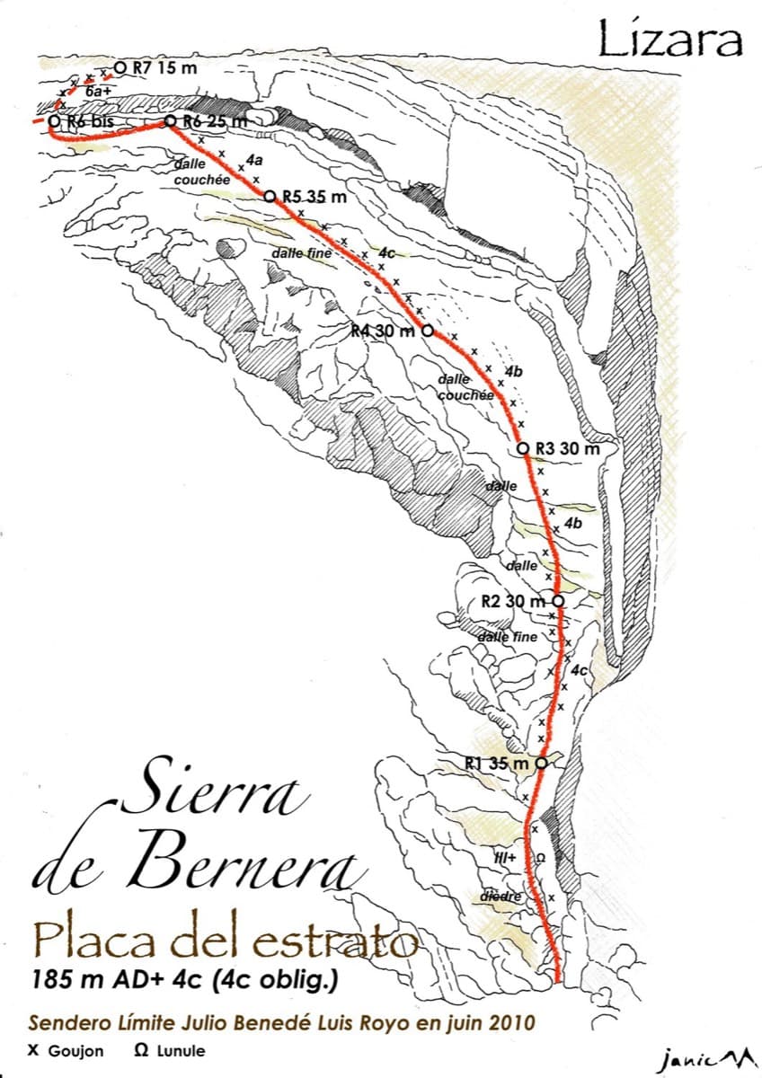
The spire of the Grande Candelle above its plinth of lower cliffs, seen from the Calanque de Sugiton; Armata Calanca climbs the plinth and then the south face to the summit, the line is not marked.

France · Calanques

Armata Calanca

The big modern classic of the Calanques: eleven pitches in three tiers from the foot of the Candelle plinth to the summit, sustained in the sixth grade on grey water-pocketed limestone above the sea. Two walking ledges split the day and offer escapes. The eighth pitch, a 6b+ diagonal along a flake, is the one people remember.

6c11 pitches320 m
Around 4c · about 6 pitches

Similar elsewhere

Drawn topo of the Placa del Estrato on the Sierra de Bernera above Lizara, with bolts and belays marked

Spain · Western Aragonese Pyrenees (Lizara)

Placa del Estrato

Six pitches of easy limestone slab up the great folded stratum above the Lizara refuge, parallel to the unbolted Chimenea del Estrato. Friction and small edges at 4b to 4c, with runnels on the upper pitches, in a high pasture setting. A mountain day at a beginner's grade, with an hour's walk in.

4c6 pitches185 m

A chained belay on the pocketed limestone of Powaqqatsi, Capo Caccia

Italy · Sardinia

Powaqqatsi

The easiest line on the Capo Caccia sea cliff: six pitches of 4b to 4c on pocketed, sharply sculpted limestone above the open sea. You abseil in from the top and climb out. The first two pitches are vegetated; the climbing proper starts on the pitch 3 slab.

4c6 pitches145 m

Read the cautionsCommitting

No photo yet

Italy · Aosta Valley

Spigolo Verde

A six-pitch arete of well-featured gneiss that is steeper than the grade suggests, with two short bolted traverses. Recent parties recommend it as a first multipitch: good rock, close bolts and a quick path down.

4c6 pitches225 m

The Plombergstein and Steinklüfte cliffs above St. Gilgen, seen from the village

Austria · Salzkammergut

Juniperus

Five easy pitches up an edge above the Wolfgangsee, mostly UIAA 4 with a few moves of 5-. A slab low down and an exposed step across a cleft on pitch 4 are the memorable bits. A popular first multipitch.

4c5 pitches150 m

Compiled from published sources and last verified October 2026. Bolts, anchors and access change. Climbing is dangerous and you are responsible for your own decisions: check a current topo and read the disclaimer.