Multipitch Atlas

Valle de Canfranc

El Tobazo south face, Rioseta (Canfranc) · Aragonese Pyrenees (Tena & Canfranc valleys) · Spain

Bail with caveatsBolting confidence: high

A long, mostly easy slab-and-dihedral route with a single 6a slab on pitch 6, in a fine setting facing away from Candanchú. Wait about 30 h after rain because the lower gully drains water.

Topo of Valle de Canfranc on the south face of El TobazoPhoto: janic · CC BY-SA 3.0

Topo

Topo of Valle de Canfranc on the south face of El TobazoPhoto: janic · CC BY-SA 3.0
Hardest pitch
6a
Pitches
15
Length
400 m
Approach
35 min
Aspect
S
South-facing
Rope
1×60 m

The route

Overview

A long, mostly easy bolted route up the whole south face of El Tobazo, finishing on the 1,986 m summit above the Rioseta cirque. It falls into three parts: seven pitches of easy-angled friction slabs and runnels in a wide gully, three steeper and more varied pitches of corners, slab and layback, then easier ground on slightly poorer rock to the top. The only 6a is a short vertical wall on pitch 6, which is well bolted and can be aided; 5b is obligatory. It has an alpine feel, with ledges, grass and big views, and has become the classic of the valley.

The climbing

Pitch by pitch

Pitches of Valle de Canfranc
PitchGradeLengthBoltsNotes
P13c35 m3 boltsEasy-angled broken slabs and steps on the plinth, partly grassy. 3 bolts and 3 threads.
P24c35 m4 boltsFriction slab above the belay, easing after the fourth bolt along a big flake on the right. 4 bolts and 1 thread.
P34c30 m6 boltsSlightly steeper friction slab where the runnels begin; a thin move to leave the slab.
P44c30 m6 boltsAll slab, with a more pronounced step and runnels in the upper part. 6 bolts and 2 threads.
P55a25 m8 boltsA fluted slab, then a smooth slab with a short thin traverse right and fine friction straight up to the belay. 8 bolts and 1 thread.
P66a40 m8 boltsThe crux pitch. A smooth vertical wall with long moves between the holds, starting right off the belay. Well protected, so it can be aided, but short climbers report having to commit before they can clip. Then an easier slab (4c) and a walk through the garden. 8 bolts and 2 threads.
P74c30 m5 boltsA slab with small edges, then steps to a belay on two threads just before the big ledge. From here walk about 30–40 m right along the grassy ledge to belay 7bis at the foot of a corner (cairn). Watch that the rope does not dislodge stones lying in the grass.
P85b35 m5 boltsA fine corner on good holds, best climbed on its outside, then steps. 5 bolts and 1 thread.
P95c35 m6 boltsSteep start on jugs to the smooth slab known as 'el espejo', with one very thin friction move. Two bolts are close together here, so it goes at 4c A0. One 2023 report felt the move was close to 6a. Then steps trending left. 6 bolts and 1 thread.
P105b30 m7 boltsA layback, then a slanting crack under a small roof that pulls you leftwards. Keep your feet out on the slab rather than climbing inside the crack. 7 bolts and 1 thread.
P11I25 m–Walk and then crouch rightwards along a big ledge under a large roof. Originally unprotected; two bolts were reported above the roof in September 2023, hard to see when you are bent double. There is also a small juniper for a sling near the end.
P124c20 m5 boltsA slab and step on plentiful holds with a change of direction; plan for rope drag. There is an optional belay under a roof, which is passed on the right. The belay is at the base of the big roof. You can escape right from here along the grass ledge called the Faja Bonita. 5 bolts and 1 thread.
P135a30 m8 boltsLeft from the belay and up grass to a slab climbed right to left, then a slightly vegetated corner; the belay is a few metres right on a platform. The rock is more broken here and a few holds move. 8 bolts and 2 threads.
P145a20 m2 boltsStart right up a steep, slightly overhanging wall on jugs, then a grassy ramp on the left and earthy steps left of the crest to a belay on the crest.
P153a30 m3 boltsA vague, very easy-angled spur along the crest, nearly a walk apart from a short wall near the end. Belay on the right side of a big block 5 m below the summit.

Getting there

Approach

To the parking

From Canfranc Estación drive up the Somport road towards Candanchú. Park at the sharp right-hand hairpin by the Rioseta military camp (about 1,400 m). The lay-by takes only 4–5 cars and trip reports describe parking as tight and busy.

On foot · about 35 min

30–45 min. Cross the road, skirt the military camp on its right and follow the path that climbs between two pine woods under the power line (numbered pylons). Just after pylon 7, where the path eases, go up right (cairns, painted stick), through the trees and up the scree towards a gully of slabs. Alternatively leave the path at a right-hand bend between pylons 8 and 9 and traverse almost level to the start, which avoids the direct scree. Follow the foot of the wall rightwards on cairns. The start is a single bolt with a strip bearing the route name. The red plastic disc and orange tag described in older topos are gone (2022 and 2023 reports), and the strip has faded to white.

Finding the route · 3 photos

  • OverviewThe south face of El Tobazo above Rioseta with its routes drawn in: Valle de Canfranc is line 02, between Torrijo (01) on the left and La Cloche and Tobazogan on the right.Photo: janic · CC BY-SA 3.0
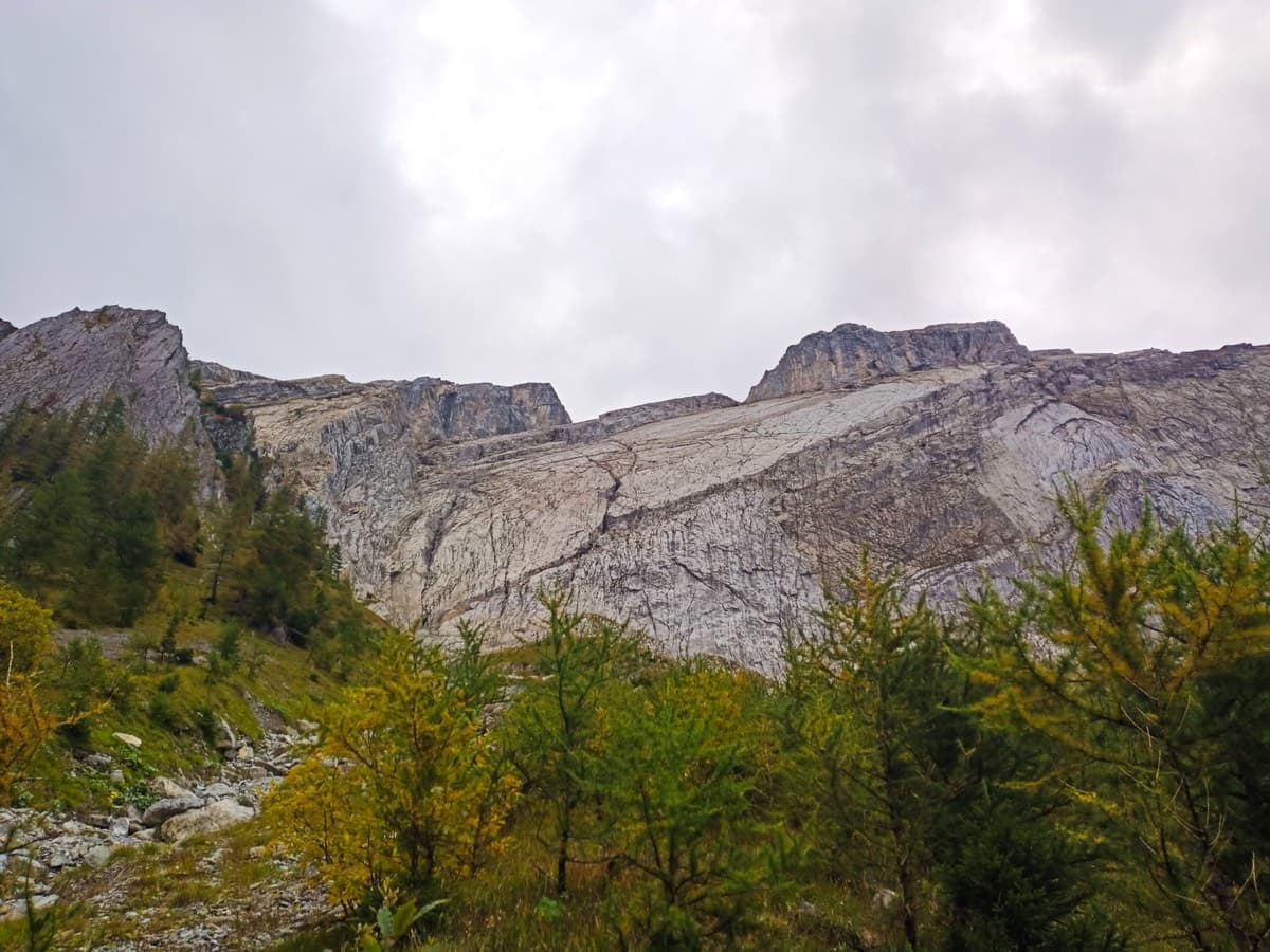
  • Walk-inApproaching the gully in the south face of El Tobazo (September 2026): above the pines the scree leads up to the slabs where the route starts.Photo: janic · CC BY-NC-ND 3.0
  • Start of the routeThe scree below the wall and the start itself (September 2026): a single bolt with a sling bearing the route name, beside a stick tied with red tape.Photo: janic · CC BY-NC-ND 3.0

Approach photo

Map of the walk-in

  • Route base
  • Parking
  • GPS line

Loading map

The point marks the base of the route.

GPS line: a line of the whole day, including the climb and the descent drawn by its source, not a recorded track. Line attached to the camptocamp route page (it matches a GPS track recorded in June 2023): walk-in from the Rioseta hairpin, the climb, and the walk-off back to the road. Do not follow it blindly.

GPS line: camptocamp contributors · CC BY-SA 3.0

Coordinates · route base

42.77280, -0.52772

Parking

42.77300, -0.51899

Canfranc - Camp militaire de Rioseta (camptocamp access point)

Point from camptocamp route 554511 GPS track (point where the climbing starts)

For your phone or watch

Download GPX

Contains the route point, parking and a GPS line. Opens in most mapping apps and GPS watches.

Points are compiled from published sources, with the precision stated above. They were not surveyed on the ground: check them against a current topo.

Getting down

Descent

Walk off in about 1 h (reports range from 50 min to 1 h 15). The equippers' line: from the summit look left towards the Tucablanca ski huts; beyond a slide of red stones there is a bright green grass slope with a zigzag path. Take that path, which is a little overgrown but obvious, down to the main Rioseta path beside an electricity pylon, and follow it past the foot of the face to the car. Camptocamp describes the same idea as traversing west to a track and, at the wooden snow fences, dropping south on a path to rejoin the approach path. The alternative is to go down the ski pistes to the north, then cut right to the road and walk down it to Rioseta. There is no abseil descent described; belays are two bolts, most with a chain link on one.

Retreat

Bailing off the route

Bail with caveats

With difficulty. No abseil descent is described: the belays are two bolts, most with a chain link on only one, and a reader's question about abseil rings went unanswered on the equippers' blog. The one stated escape is the Faja Bonita ledge at the belay after pitch 12. A retreat from lower down would mean abseiling from two-bolt belays and leaving gear, and pitches of 35 to 40 m are beyond a single 60 m rope.

Retreat from
The belay after pitch 12, at the base of the big roof: escape right along the grass ledge called the Faja Bonita (stated by the equippers and Camptocamp trip notes). The lower seven pitches are easy-angled slabs in a wide gully, where abseiling from the bolted belays is plausible but not documented. The big ledge after pitch 7 is described as closed off by overhangs and no exit from it is given.
Point of no return
None is stated. By inference, once you are on the steeper middle section (pitches 8 to 10) the Faja Bonita above is a nearer exit than the ground.
Carry
For any abseil retreat: two ropes (the equippers' topo suggested 2×40 m; several pitches are listed at 35 to 40 m), plus maillons and cord for the belays. A single 60 m rope is not enough on the longer pitches.
Basis
Part stated, part inferredThe equippers' blog states the Faja Bonita escape and the Escalando topo describes the two-bolt belays with one chain link; that abseiling is possible with left gear and two ropes is inferred, not reported.

Partly inferred from the route facts

Safety

Hazards

  • The lower gully drains the face: leave about 30 h after rain.
  • Reach-dependent clips: on the 6a wall of pitch 6 and the slab of pitch 9, climbers of around 1.60 m report having to make the move before clipping, with a ledge below on pitch 9. For them the route is not 5b obligatory.
  • Loose stones on the grassy ledges (after pitch 7 and on the easy pitches) are easily knocked onto parties below.
  • Rock quality drops in the last four pitches, with some loose holds on pitch 13.
  • The in-situ threads are ageing (2025 report); the bolts are sufficient without them. Lead bolts are mostly 10 mm with some 8 mm. A 2025 party found a belay nut loose at the sixth belay and tightened it (17 mm spanner for belays, 13 mm for lead bolts).
  • Bolts are further apart on the earthy and grassy sections than on the rock.
  • Heat: full sun with little shade on a five-hour route.

Sun and weather

Conditions

South facing, 1,580 m at the base to 1,986 m, and in the sun from early morning. It gets very hot in the sheltered lower gully, so choose a cool day or start early. Trip reports run from late April to early October. Wait about 30 h after rain, because the lower gully channels water; mud on the shoes after rain makes the slabs slippery. Camptocamp notes the rock can feel slick, though a 2022 party found no polish. A very popular route, with several parties on most good days.

Usual season · Jun to Oct

Sun on the wall · S-facing

Working out the sunlit hours for this month.

  • January: not yet worked out
  • February: not yet worked out
  • March: not yet worked out
  • April: not yet worked out
  • May: not yet worked out
  • June (usual season): not yet worked out
  • July (usual season): not yet worked out
  • August (usual season): not yet worked out
  • September (usual season): not yet worked out
  • October (usual season): not yet worked out
  • November: not yet worked out
  • December: not yet worked out

Sun on the wallDaylight, wall in shade● Usual season

Estimated from the wall's aspect only. Ignores surrounding terrain, gullies and the wall's exact shape. Clock times are local to the wall (Central European time), for the 15th of each month.

Climate figures for Aragonese Pyrenees (Tena & Canfranc valleys) are not available yet

What to carry

Gear

Single 60 m rope. 10 quickdraws if you climb pitch by pitch, 13 if you link pitches; parties linking a lot used 16. Cams and nuts are not needed. One report from two climbers under 1.60 m recommends a panic (reach-extending) quickdraw for pitches 6 and 9. Helmet. Carry plenty of water: 2 litres each was used on a hot day.

Checklist

Quickdraws
13
Rope
1×60 m
Helmet
One each
Abseil device and prusik
The descent or the retreat involves abseiling
Maillons or spare karabiners
To leave behind if you retreat
Cord
Mentioned for retreat

Derived from the route data; check it against a current topo

From climbers

Reader reports

Reader reports are not being collected yet. Until they are, check a current topo and the local club or guidebook publisher for recent changes to Valle de Canfranc.

Worth knowing

Tips

  • With a 60 m rope you can link 1+2, 3+4, 10+11, 12+13 (heavy drag) and 14+15 (drag). Linking 1+2 is slightly over 60 m, so the second has to move up a little.
  • A 2023 party found the pitches shorter than listed and linked 2+3, 4+5, 7 plus the ledge, 10+11, 12+13 and 14+15 on 2×60 m without simul-climbing.
  • Escape is possible along the Faja Bonita ledge from the belay after pitch 12.
  • In 2026 the equippers appeared to be maintaining the route, with cord markers by some bolts and a few new bolts.
  • Allow 3.5–5 h of climbing.
  • Edelweiss grows on the summit; it is protected.

Open questions

Where sources disagree

  • Length: camptocamp gives 400 m of climbing; Escalando and Nevasport say 450 m; the Sendero Límite 2013 post says 470 m. This entry uses 400 m, and a 2023 party found the individual pitches shorter than listed.
  • Bolt counts differ between camptocamp and Escalando on most pitches (for example pitch 6: 8 versus 10; pitch 8: 5 versus 9). The camptocamp counts, which separate bolts from threads, are listed here.
  • Pitch 9: 5c in all topos; one 2023 report thought the slab move close to 6a.
  • Rope: the equippers' topo suggested two 40 m ropes; camptocamp and recent parties use a single 60 m, which this entry follows.
  • Approach landmark: camptocamp says leave the path after pylon 7 or between 8 and 9; Escalando and Nevasport say pylon 8. Times given are 26–45 min.
  • The ledge walk to belay 7bis is 30 m on the French camptocamp page and 40 m elsewhere.

Provenance

Sources

Same area

More in Aragonese Pyrenees (Tena & Canfranc valleys)

All routes in Aragonese Pyrenees (Tena & Canfranc valleys)
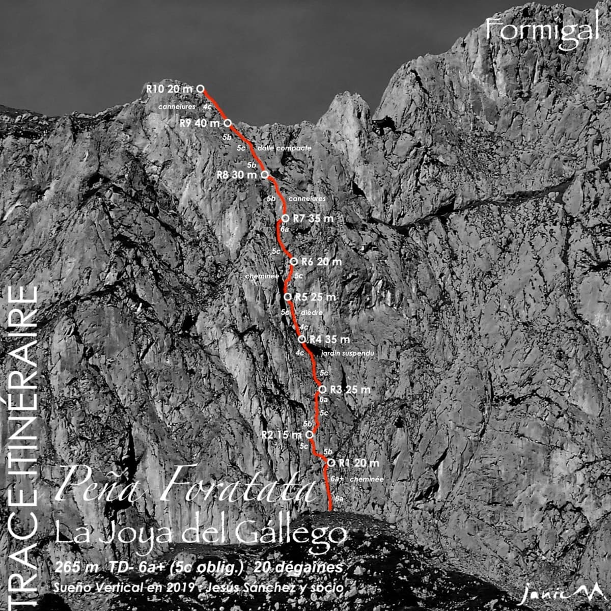
Topo of La Joya del Gállego on the Peña Foratata

Spain · Aragonese Pyrenees (Tena & Canfranc valleys)

La Joya del Gállego

Varied, sustained limestone of chimneys, dihedrals and compact fluted slabs high above the Tena valley. Bearded-vulture nesting closes the face from 1 Dec to 31 Jul unless lifted early, so check montanaregulada.org.

6a+10 pitches265 m

Read the cautions
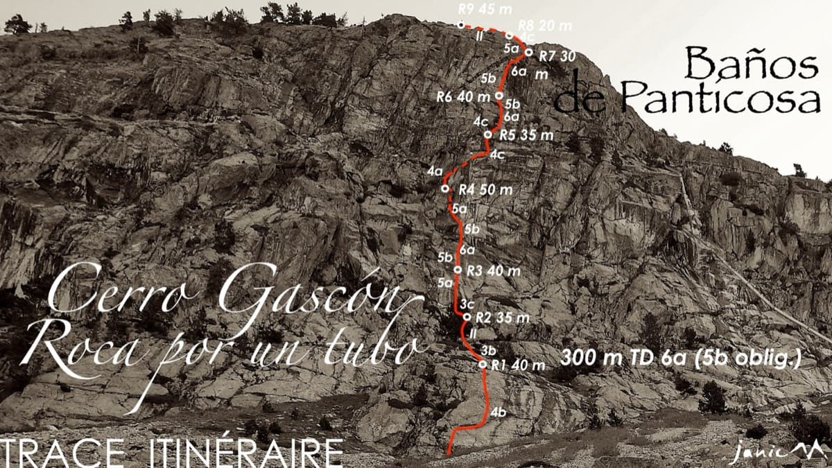
Topo of Roca por un Tubo, Pared de la Tubería (Cerro Gascón), Baños de Panticosa

Spain · Aragonese Pyrenees (Tena & Canfranc valleys)

Roca por un Tubo

High-mountain granite slabs and dihedrals above the Panticosa spa. Three 6a cruxes mix friction slab with a short flaky roof on pitch 7.

6a9 pitches300 m

Read the cautions

The Pared del Ibón above Baños de Panticosa with the line and belays of Vía del Ibón

Spain · Aragonese Pyrenees (Tena & Canfranc valleys)

Vía del Ibón

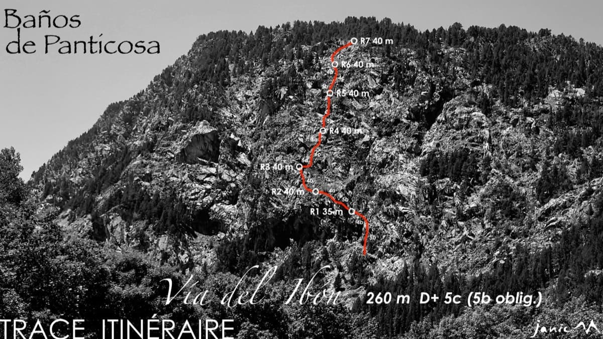
A mountain-style line on dark, weathered granite twenty-five minutes above the spa of Baños de Panticosa. It links ramps, a short overhanging break, slabs and a rounded boulder, with one well-bolted 5c move and the rest 4b to 5b. The rock between the good sections is earthy and lichenous, but the friction is excellent and the bolting generous.

5c7 pitches260 m

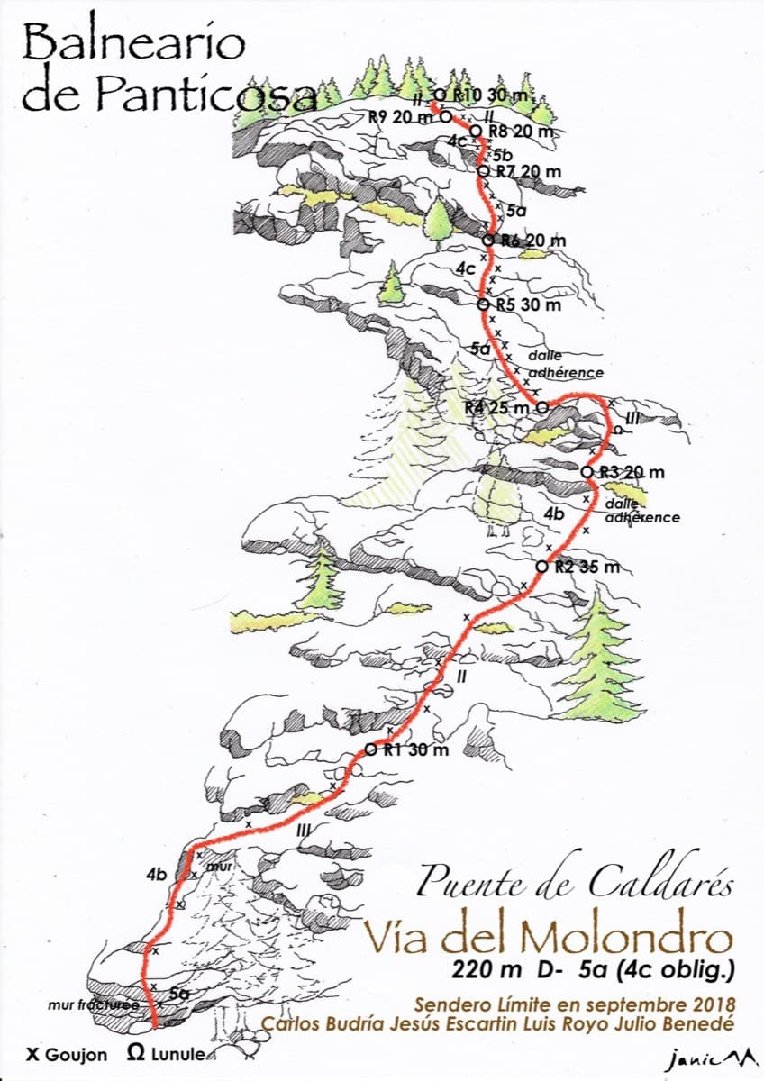
Drawn topo of the Vía del Molondro above the Caldarés bridge, Baños de Panticosa, with bolts and belays marked

Spain · Aragonese Pyrenees (Tena & Canfranc valleys)

Vía del Molondro

Ten short pitches of easy-angled Panticosa granite beside the Caldarés stream, twenty minutes from the car. Mostly friction slabs at 4b to 5a linked by walking-angle ground, with one polished bulge given 5b on the topo. A very gentle first granite multipitch, and a climbing approach to the walls above.

5b10 pitches220 m

Around 6a · about 15 pitches

Similar elsewhere

The Miroir d'Argentine seen from Solalex

Switzerland · Vaud Alps

Remix

The bolted way up the Miroir d'Argentine: fourteen pitches of compact limestone slab, with the difficulties in the first four pitches and long, easy, run-out friction above. A big day out at a modest grade with a mountain walk-off. Do not underestimate it.

5c+14 pitches400 m

Read the cautions

No photo yet

Italy · Val d'Ossola

Il Cammino del Sole

Twelve long pitches of sunny gneiss slab above Oira, mostly 4c to 5b+ with two 6a pitches: a thin slab at the start and an athletic corner on pitch 10. Pitches are up to 55 m. A winter-sun route with a summit book and plaques at both ends.

6a12 pitches530 m

Overview of the Salü Jan sector on the Pfadflue, Gastlosen

Switzerland · Gastlosen

Salü Jan

One of the busiest routes in the Gastlosen: homogeneous, technical climbing on beautiful fluted slabs (cannelures) that dry fast. The top third is broken by grassy ledges.

6a12 pitches380 m

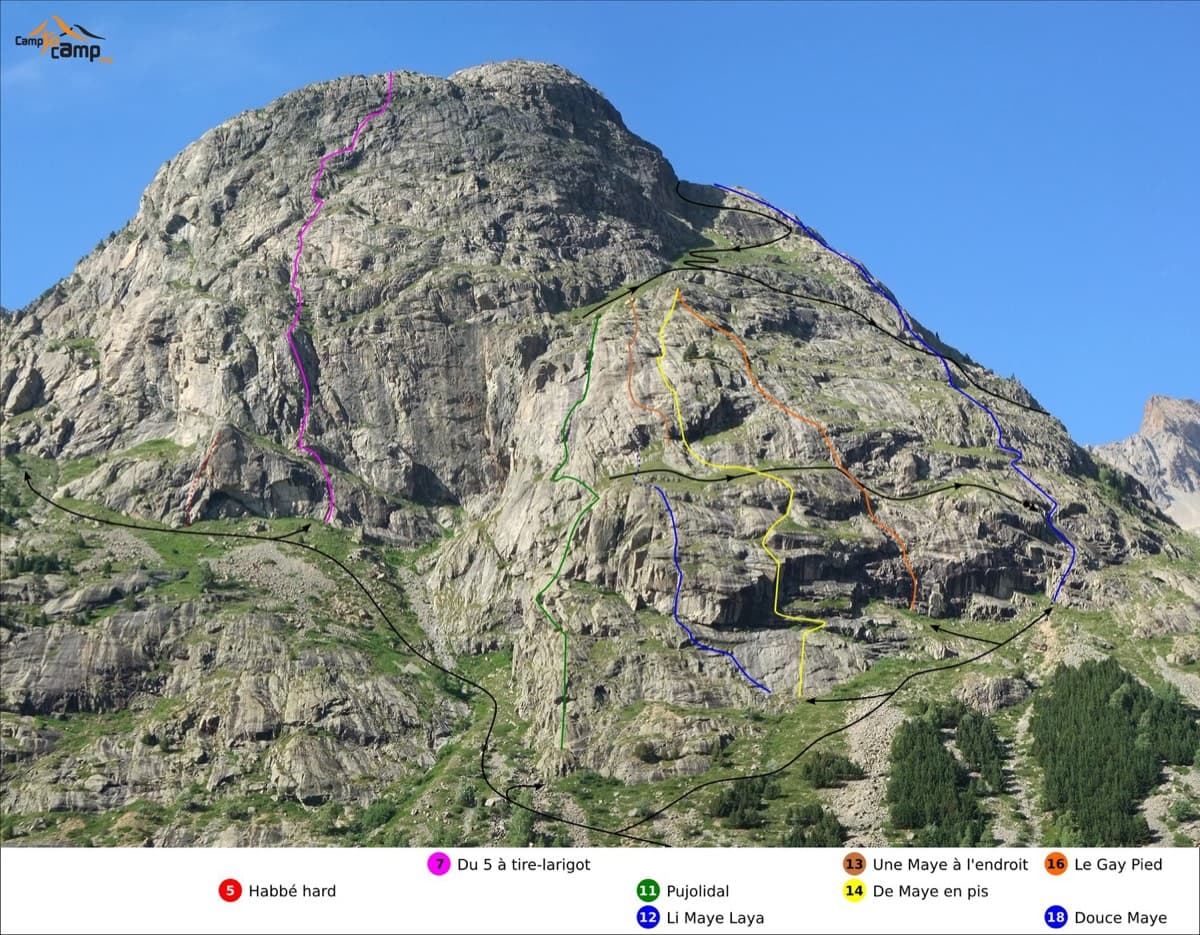
Routes on the south face of the Tête de la Maye; Pujolidal is the green line (number 11)

France · La Bérarde (Écrins)

Pujolidal

The great classic of the Tête de la Maye: 13 pitches of rounded granite slab above La Bérarde with nothing athletic until the last hard pitch, a flake and wide crack of 5c+ that everyone remembers. Recently rebolted and very closely protected. It is camptocamp's reference route for the overall grade D.

5c+13 pitches350 m

Compiled from published sources and last verified October 2026. Bolts, anchors and access change. Climbing is dangerous and you are responsible for your own decisions: check a current topo and read the disclaimer.