Multipitch Atlas

Vía del Molondro

Pared de Molondro, Baños de Panticosa · Aragonese Pyrenees (Tena & Canfranc valleys) · Spain

Bail with caveatsBolting confidence: high

Ten short pitches of easy-angled Panticosa granite beside the Caldarés stream, twenty minutes from the car. Mostly friction slabs at 4b to 5a linked by walking-angle ground, with one polished bulge given 5b on the topo. A very gentle first granite multipitch, and a climbing approach to the walls above.

Drawn topo of the Vía del Molondro above the Caldarés bridge, Baños de Panticosa, with bolts and belays markedPhoto: janic · CC BY-SA 3.0

Topo

Drawn topo of the Vía del Molondro above the Caldarés bridge, Baños de Panticosa, with bolts and belays markedPhoto: janic · CC BY-SA 3.0
Hardest pitch
5b
Pitches
10
Length
220 m
Approach
20 min
Aspect
SW
South-west-facing
Rope
Single rope
walk-off; pitches up to 35 m

The route

Overview

An easy slab route on excellent granite just above the first bridge over the Barranco de Caldarés. Ten pitches of 20 to 35 m alternate short walls with positive holds, friction slabs and three sections that are little more than a walk. The friction moves at the start of pitch 5 and the rounded bulge on pitch 8 are the only places that make you think. One visitor calls the 5a 'very easy, modern 5a'. It is well bolted and has a walk-off, and parties often continue to El Libro de la Selva or Arista Mowgli higher up the valley.

The climbing

Pitch by pitch

Pitches of Vía del Molondro
PitchGradeLengthBoltsNotes
P15a30 m7 boltsA vertical start on protruding holds (5a) leads onto an easy-angled slab, then a wall with positive holds and another slab (4a). Belay on the right behind a pine. One party counted 8 bolts.
P22/335 m5 boltsAn easy-angled slab climbed diagonally from left to right. A trickle of water crossed it in June 2022.
P34b20 m3 boltsA friction slab that steepens a little and passes a large block on its right.
P43b25 m2 boltsFriction slab, then a wall of blocks with good holds and a horizontal traverse to the foot of the next wall. Two bolts and one thread.
P55a30 m7 boltsA steeper friction slab for 15 m (the first three bolts are the thoughtful part), then the angle eases. The pitch of the route.
P64c20 m4 boltsA short wall with a crack and clean holds, then an easy friction slab.
P75a20 m5 boltsA wall, then a slab on small holds and friction.
P85b20 m6 boltsSteps left of the belay lead to a rounded bulge of polished granite with an S-shaped crack on its right; you climb the slab on the left (5b on the topo, 4c obligatory), then an inclined slab.
P9220 m2 boltsAn easy slab into the trees.
P102/330 m2 boltsA stepped rise from left to right, finishing up a very rounded slab.

Getting there

Approach

To the parking

Base is Baños de Panticosa (Balneario de Panticosa, about 1,640 m) at the head of the Tena valley. Park near the Casa de Piedra refuge; parties in 2024 report no trouble parking there.

On foot · about 20 min

15 to 20 min and about 100 m of ascent. From the Casa de Piedra refuge follow the GR11 (the path to the Bachimaña refuge and the Paseo de los Miradores) to the first bridge over the Barranco de Caldarés at about 1,705 m. The wall is beside the bridge on the true left bank, above a clump of pines; go up the bank to the start.

Finding the route · 3 photos

Approach photo

Map of the walk-in

  • Crag
  • Parking
  • GPS line

Loading map

The point marks the crag, not the exact start of the route.

GPS line: a line of the whole day, including the climb and the descent drawn by its source, not a recorded track. Line attached to the camptocamp route page (it matches a GPS track recorded in August 2021): walk-in from Baños de Panticosa, the climb, and the return on the Bachimaña path. Elevations were not recorded. Do not follow it blindly.

GPS line: camptocamp contributors · CC BY-SA 3.0

Coordinates · crag

42.76578, -0.22963

Parking

42.75957, -0.23461

Baños de Panticosa (camptocamp access point)

Point from camptocamp waypoint 1458542

For your phone or watch

Download GPX

Contains the route point, parking and a GPS line. Opens in most mapping apps and GPS watches.

Points are compiled from published sources, with the precision stated above. They were not surveyed on the ground: check them against a current topo.

Getting down

Descent

From the last belay a cairned path goes down to the right and joins the path to Bachimaña and Brazato. Follow it down to the Caldarés bridge and the GR11 back to the car park. About 25 min.

Retreat

Bailing off the route

Bail with caveats

No source describes a retreat. The route is easy-angled and broken by wooded ledges and walking sections, and the belays are bolted (one report mentions rings), so abseiling or walking off sideways from part-way up looks feasible, but it is not documented.

Retreat from
Not documented. The wooded ledges after pitches 2, 4 and 9 are the obvious places (inferred from the topo).
Point of no return
None apparent.
Carry
A rope long enough to abseil 35 m pitches if you go down the line (two ropes, or a 70 m single), and a maillon or two in case a belay has no ring.
Basis
Inferred from the route factsInferred from the pitch lengths, the angle and the drawn topo; neither camptocamp nor the openers' blog mentions abseiling.

Partly inferred from the route facts

Safety

Hazards

  • Noise from the stream on the lower pitches makes communication difficult.
  • The easy pitches (2, 4, 9, 10) have only two to five bolts in 20 to 35 m, on ground of grade 2 to 3.
  • Friction climbing: much harder when damp.

Sun and weather

Conditions

South-west facing at 1,700 to 1,900 m. A summer and early autumn route: reports are from June and August, with the granite dry and the temperature rising quickly once the sun arrives. Friction slabs, so avoid it when wet; pitch 2 can carry a seep.

Usual season · Jun to Oct

Sun on the wall · SW-facing

Working out the sunlit hours for this month.

  • January: not yet worked out
  • February: not yet worked out
  • March: not yet worked out
  • April: not yet worked out
  • May: not yet worked out
  • June (usual season): not yet worked out
  • July (usual season): not yet worked out
  • August (usual season): not yet worked out
  • September (usual season): not yet worked out
  • October (usual season): not yet worked out
  • November: not yet worked out
  • December: not yet worked out

Sun on the wallDaylight, wall in shade● Usual season

Estimated from the wall's aspect only. Ignores surrounding terrain, gullies and the wall's exact shape. Clock times are local to the wall (Central European time), for the 15th of each month.

Monthly climate averages for Aragonese Pyrenees (Tena & Canfranc valleys), 1991-2020
MeasureJanFebMarAprMayJun (usual season)Jul (usual season)Aug (usual season)Sep (usual season)Oct (usual season)NovDec
Mean daily high °C447914192222171375
Mean daily low °C−3−3−11591112850−2
Rain days 1 mm or more141314181816141413141413

● marks the usual climbing season. Averages for 1991-2020 at about 1564 m. Area climate from Open-Meteo reanalysis. Temperatures are adjusted to the height of the crag; rain comes from a grid cell of about 10 to 25 km, and summer highs on sea cliffs can read a few degrees low. The wall and valley can differ. Data: Open-Meteo, CC BY 4.0.

What to carry

Gear

7 quickdraws plus belay gear. Any single rope long enough for 35 m pitches; no abseils. Helmet. Radios help low down, where the stream makes it hard to hear your partner.

Checklist

Quickdraws
7
Rope
Single rope (walk-off; pitches up to 35 m)
Helmet
One each
Maillons or spare karabiners
To leave behind if you retreat

Derived from the route data; check it against a current topo

From climbers

Reader reports

Reader reports are not being collected yet. Until they are, check a current topo and the local club or guidebook publisher for recent changes to Vía del Molondro.

Worth knowing

Tips

  • Allow 1.5 to 2.5 hours.
  • It makes a climbing approach to the Pared de la Tubería or the Pared de Bozuelo: one party used it to cut the walk to about 25 minutes in two parts.
  • Lady Lister, a slightly harder Sendero Límite route, runs parallel on the right.

Open questions

Where sources disagree

  • Overall grade: every source, including the opening team, calls the route 5a (4c obligatory), but the camptocamp pitch list and the drawn topo mark a 5b move on pitch 8. The atlas uses 5b as the hardest pitch.
  • Pitch count: ten on the topo; parties report climbing it as nine, or as seven plus three, by linking or walking the easy ones.
  • Bolt count on pitch 1: 7 (route page) against 8 (2022 report).

Provenance

Sources

Same area

More in Aragonese Pyrenees (Tena & Canfranc valleys)

All routes in Aragonese Pyrenees (Tena & Canfranc valleys)
The twin limestone summits of Peña Foratata above the forest, seen from Sallent de Gállego in spring.

Spain · Aragonese Pyrenees (Tena & Canfranc valleys)

La Joya del Gállego

Varied, sustained limestone of chimneys, dihedrals and compact fluted slabs high above the Tena valley. Bearded-vulture nesting closes the face from 1 Dec to 31 Jul unless lifted early, so check montanaregulada.org.

6a+10 pitches265 m

Read the cautions
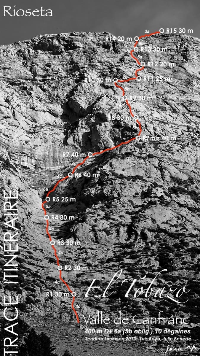
Topo of Valle de Canfranc on the south face of El Tobazo

Spain · Aragonese Pyrenees (Tena & Canfranc valleys)

Valle de Canfranc

A long, mostly easy slab-and-dihedral route with a single 6a slab on pitch 6, in a fine setting facing away from Candanchú. Wait about 30 h after rain because the lower gully drains water.

6a15 pitches400 m

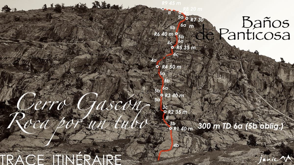
Topo of Roca por un Tubo, Pared de la Tubería (Cerro Gascón), Baños de Panticosa

Spain · Aragonese Pyrenees (Tena & Canfranc valleys)

Roca por un Tubo

High-mountain granite slabs and dihedrals above the Panticosa spa. Three 6a cruxes mix friction slab with a short flaky roof on pitch 7.

6a9 pitches300 m

Read the cautions

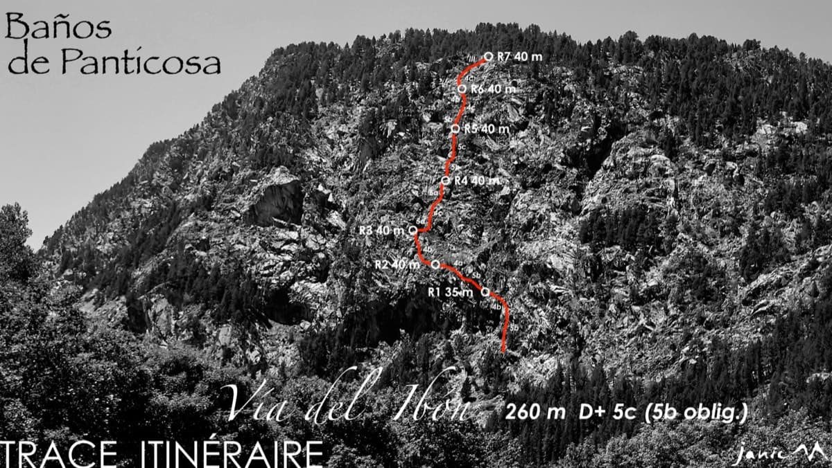
The Pared del Ibón above Baños de Panticosa with the line and belays of Vía del Ibón

Spain · Aragonese Pyrenees (Tena & Canfranc valleys)

Vía del Ibón

A mountain-style line on dark, weathered granite twenty-five minutes above the spa of Baños de Panticosa. It links ramps, a short overhanging break, slabs and a rounded boulder, with one well-bolted 5c move and the rest 4b to 5b. The rock between the good sections is earthy and lichenous, but the friction is excellent and the bolting generous.

5c7 pitches260 m

Around 5b · about 10 pitches

Similar elsewhere

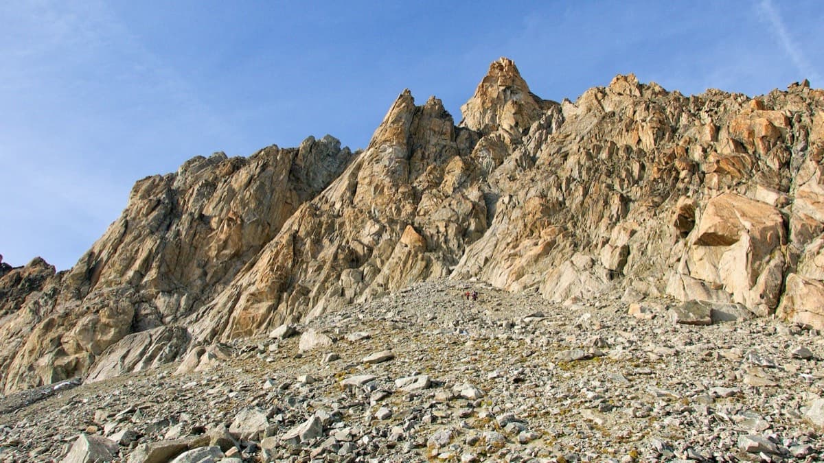
The south side of the Aiguille d'Orny above the scree slope of the approach

Switzerland · Orny (Champex, Mont Blanc massif)

La Moquette

Nine pitches up a granite spur and the final tower of the Aiguille d'Orny to a 3150 m summit, on rough, cracked rock with superb friction. Two moves of 5b, the rest 4b and 4c, closely bolted since 2016 and easy enough to climb in boots. The three steep pitches on the summit tower are the highlight.

5b9 pitches250 m

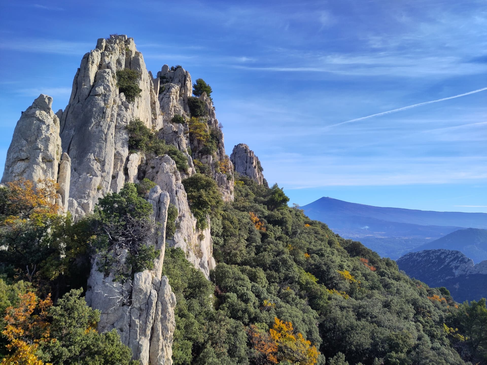
Limestone towers on the Gigondas chain of the Dentelles de Montmirail, photographed during a traverse of the Florets crest, with Mont Ventoux on the horizon.

France · Dentelles de Montmirail

Traversée des Florets

A west-to-east traverse of the six towers of the Florets crest, alternating short pitches with five short abseils and ending on a knife-edge. First climbed in 1928, it is the classic introduction to ridge climbing in Provence. The moves of 5 are short but polished and cannot be avoided, and all the rope work makes it slower than its length suggests.

5b9 pitches120 m

The east face of the Dent d'Orlu, a sweep of striated gneiss slabs, seen from the Col de l'Egue; Pink Floyd climbs this face, the exact line is not marked.

France · Ariège Pyrenees

Pink Floyd

Consistent, low-angled slab climbing on compact granite, with 10 pitches of 5a–5b+ on the big east face. Above all it is a long, sunny-morning moderate.

5b+10 pitches400 m

Read the cautions

The south side of the Zucco dell'Angelone above Barzio, seen from the Zucco della Croce: the pale limestone spurs (speroni) that hold the multipitch routes run down from the antenna-topped summit. Condorpass is on the fourth spur; individual spurs are not labelled here.

Italy · Lecco & Valsassina

Condorpass

The first route opened on the Zucco dell'Angelone, following the natural line of the fourth spur by corners, cracks, a chimney and friction slabs. Eight varied pitches at 5a to 5b with an easy crest to finish. Never hard but never trivial either.

5b8 pitches220 m

Compiled from published sources and last verified October 2026. Bolts, anchors and access change. Climbing is dangerous and you are responsible for your own decisions: check a current topo and read the disclaimer.