Multipitch Atlas

Condorpass

Zucco dell'Angelone – Quarto Sperone (Barzio) · Lecco & Valsassina · Italy

Bail not documentedBolting confidence: medium

The first route opened on the Zucco dell'Angelone, following the natural line of the fourth spur by corners, cracks, a chimney and friction slabs. Eight varied pitches at 5a to 5b with an easy crest to finish. Never hard but never trivial either.

The spurs of the Zucco dell'Angelone above Barzio with route lines marked; Condorpass is on the fourth spur (IV)Photo: Francesco Rota Nodari · CC BY-NC-ND 3.0

Topo

The spurs of the Zucco dell'Angelone above Barzio with route lines marked; Condorpass is on the fourth spur (IV)Photo: Francesco Rota Nodari · CC BY-NC-ND 3.0
Hardest pitch
5b
Pitches
8
Length
220 m
Approach
25 min
Aspect
S
South-facing
Rope
2×60 m half ropes or a single rope
walk-off

The route

Overview

Condorpass takes the most logical weaknesses of the Quarto Sperone, the longest spur of the Zucco dell'Angelone above Barzio. Camptocamp considers it one of the best and most recommendable routes of the group: a steep opening corner, a crack, a traverse and layback flake, a tight corner and chimney, and slabs to the crest. There are variations on almost every pitch; the line described by camptocamp uses some of them, so its pitch grades differ from the local guidebook. The descent is a walk.

The climbing

Pitch by pitch

Pitches of Condorpass
PitchGradeLengthNotes
P15b25 mEasy featured rock into the corner proper, vertical but on good holds with one short harder move. Exit left at the top and climb a short, slightly overhanging wall to the belay. Always in the shade and cold in winter.
P24a20 mTraverse horizontally left into a gully of rock and grass and follow it to a comfortable ledge.
P35a30 mA good crack up the wall above, an easy small overhang, then the right side of the next slab and easier ground to a ledge.
P45a40 mTraverse left into a slabby corner, climb it to a thin vertical crack used to move left to a wide horizontal crack. A delicate step leads to an intermediate belay; continue left, layback a flake into an easy gully and finish up a slab on the right. Several variations exist.
P55b25 mThe vertical corner above the belay, which narrows to a crack. Traverse left and climb a short wall to a ledge at the foot of a chimney. Gulliver.it calls the chimney on this part of the route a little awkward.
P65a25 mBridge up the corner, moving onto its right face after a few metres. Good flakes lead out right, then easily to a short wall climbed by a thin crack on the left.
P75a40 mThe wide crack on the left with an unobvious move, then diagonally right to the crest (optional belay). Up the short wall above, traverse left across a delicate slab to a big corner with good holds, and follow it back to the crest.
P83c20 mEasy slabby rock along the crest to the top of the fourth spur.

Getting there

Approach

To the parking

From Lecco drive up the Valsassina to Barzio and follow signs to the Piani di Bobbio cable car, parking in the large car park at the lower station.

On foot · about 25 min

About 25 min. Take the level path that starts near the cable car bar (signposts for the Angelone spurs). Ignore the first junction for the second and third spurs and continue to the next one, where you go up right following signs for the fourth spur. You pass the rock of the Bastionata, then a steep stretch leads to the foot of the broad slabs of the fourth spur, leaving the ramp with the start of Anabasi on your left. Without going to the slabs, enter the gully on the right and climb it until it narrows and steepens. The route starts at an obvious corner on the left side of the gully, just after a thick ivy and left of a group of hard sport routes on vertical slabs. There is a small levelled stance at the base.

Map of the walk-in

  • Crag
  • Parking

Loading map

The point marks the crag, not the exact start of the route.

Coordinates · crag

45.96009, 9.46039

Parking

45.95560, 9.46452

Barzio - Piazzale funivia (camptocamp access point)

Point from camptocamp waypoint 41720

For your phone or watch

Download GPX

Contains the route point and parking. Opens in most mapping apps and GPS watches.

Points are compiled from published sources, with the precision stated above. They were not surveyed on the ground: check them against a current topo.

Getting down

Descent

On foot, about 30 min. Follow the crest towards the antenna on the summit of the Zucco dell'Angelone until CAI waymarks (white and red) point right onto a rough path in the woods. It leads down to the ski piste and the lower cable car station. Gulliver.it recommends approach shoes.

Retreat

Bailing off the route

Bail not documented

Retreat is not documented for Condorpass. The belays are chains or pairs of glue-in bolts, so abseiling is plausible, but the line traverses on pitches 2, 4 and 7 and the normal descent is on foot. For the neighbouring Anabasi, camptocamp advises against abseiling.

Retreat from
Not known. Belays are chains or two glue-ins (gulliver.it).
Point of no return
Not documented. From the crest at the top of pitch 7 only an easy 20 m pitch remains.
Carry
Two ropes for the 40 m pitches, plus cord and a maillon to link unjoined belay bolts.
Basis
Inferred from the route factsBelay type is stated by gulliver.it; no source describes abseiling this route.

Partly inferred from the route facts

Safety

Hazards

  • Many variations and neighbouring lines: follow the description on pitches 4 and 7 in particular.
  • The descent path is rough and can be slippery; with snow on the north side it needs care.

Sun and weather

Conditions

South facing between about 800 and 1165 m, in the sun for most of the day. Climbable in all seasons except the hottest months; in winter the first pitch stays in shade and is very cold. A 2012 party took six hours car to car at a relaxed pace on a sunny May day.

Usual season · Mar to Jun, Sep to Nov

Sun on the wall · S-facing

Working out the sunlit hours for this month.

  • January: not yet worked out
  • February: not yet worked out
  • March (usual season): not yet worked out
  • April (usual season): not yet worked out
  • May (usual season): not yet worked out
  • June (usual season): not yet worked out
  • July: not yet worked out
  • August: not yet worked out
  • September (usual season): not yet worked out
  • October (usual season): not yet worked out
  • November (usual season): not yet worked out
  • December: not yet worked out

Sun on the wallDaylight, wall in shade● Usual season

Estimated from the wall's aspect only. Ignores surrounding terrain, gullies and the wall's exact shape. Clock times are local to the wall (Central European time), for the 15th of each month.

Climate figures for Lecco & Valsassina are not available yet

What to carry

Gear

10 quickdraws, slings or cord to link the belay bolts, and two 60 m half ropes according to camptocamp; since the descent is on foot, a single rope long enough for the 40 m pitches also works. Helmet.

Checklist

Quickdraws
10
Rope
2×60 m half ropes or a single rope (walk-off)
Helmet
One each
Maillons or spare karabiners
To leave behind if you retreat
Cord
Mentioned for retreat

Derived from the route data; check it against a current topo

From climbers

Reader reports

Reader reports are not being collected yet. Until they are, check a current topo and the local club or guidebook publisher for recent changes to Condorpass.

Worth knowing

Tips

  • A 2012 party found the camptocamp description much better than others in circulation.
  • Ortofresco on the third spur (three pitches, 5b) is a good shorter route for the same day.

Open questions

Where sources disagree

  • Grade: camptocamp's pitch list peaks at 5b and its obligatory grade is 5b; gulliver.it gives 5b maximum with 4 obligatory. Camptocamp notes that its line uses variations and that its grades differ, sometimes markedly, from the guidebook.
  • A caption on the camptocamp overview photo describes Condorpass as '4 tiri' (four pitches), which does not match the eight pitches of the camptocamp description.

Provenance

Sources

Around 5b · about 8 pitches

Similar elsewhere

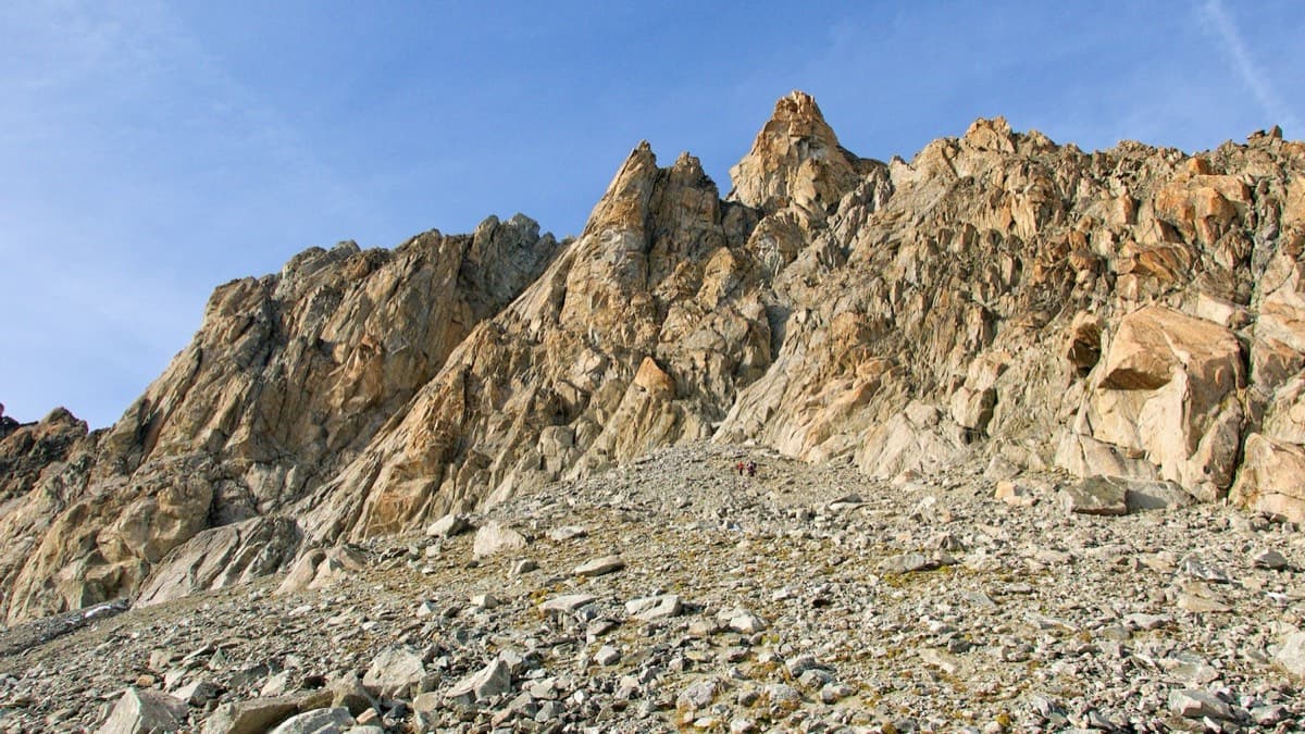
The south side of the Aiguille d'Orny above the scree slope of the approach

Switzerland · Orny (Champex, Mont Blanc massif)

La Moquette

Nine pitches up a granite spur and the final tower of the Aiguille d'Orny to a 3150 m summit, on rough, cracked rock with superb friction. Two moves of 5b, the rest 4b and 4c, closely bolted since 2016 and easy enough to climb in boots. The three steep pitches on the summit tower are the highlight.

5b9 pitches250 m
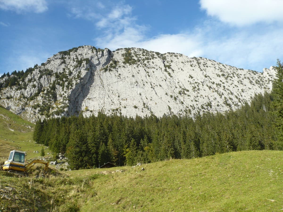
The south face of the Brüggler above the Schwändital

Switzerland · Glarus (Brüggler)

Highway

Seven homogeneous pitches of grade 5 up the middle of the Brüggler's big limestone slab, much of it on water runnels, finishing among the pines near the summit cross. Never hard, but it climbs all the way and the bolts are not close. Best if you are solid at 5c.

5b7 pitches200 m

Read the cautions

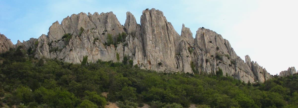
The Florets crest on the Gigondas chain of the Dentelles de Montmirail, seen from the north

France · Dentelles de Montmirail

Traversée des Florets

A west-to-east traverse of the six towers of the Florets crest, alternating short pitches with five short abseils and ending on a knife-edge. First climbed in 1928, it is the classic introduction to ridge climbing in Provence. The moves of 5 are short but polished and cannot be avoided, and all the rope work makes it slower than its length suggests.

5b9 pitches120 m

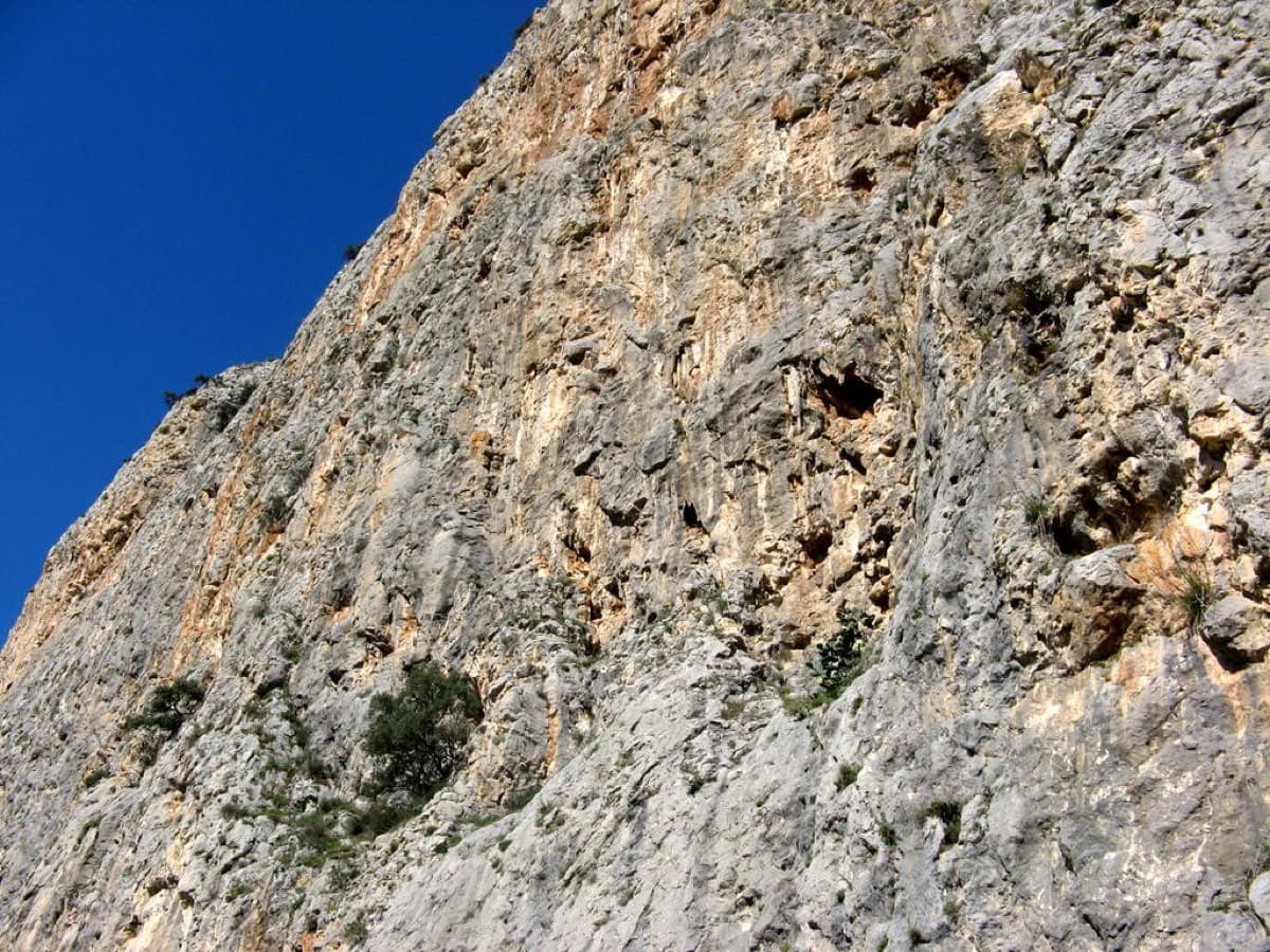
The Amptrax sector of Frontales, El Chorro

Spain · El Chorro

Lluvia de Asteroides

An airy, exposed adventure on clean, solid rock: the best long easy route on the Frontales and an ideal first big multipitch.

5+8 pitches251 m

Compiled from published sources and last verified October 2026. Bolts, anchors and access change. Climbing is dangerous and you are responsible for your own decisions: check a current topo and read the disclaimer.