


Spain · El Chorro
Amptrax
The absolute El Chorro classic: a physical, sustained line that feels tough for the grade, with a 6a traverse right under the roof. Polished in places from heavy traffic.
6a9 pitches182 m
Frontales (Mundo / Amptrax area) · El Chorro · Spain
Bail with caveatsBolting confidence: medium
An airy, exposed adventure on clean, solid rock: the best long easy route on the Frontales and an ideal first big multipitch.
The route
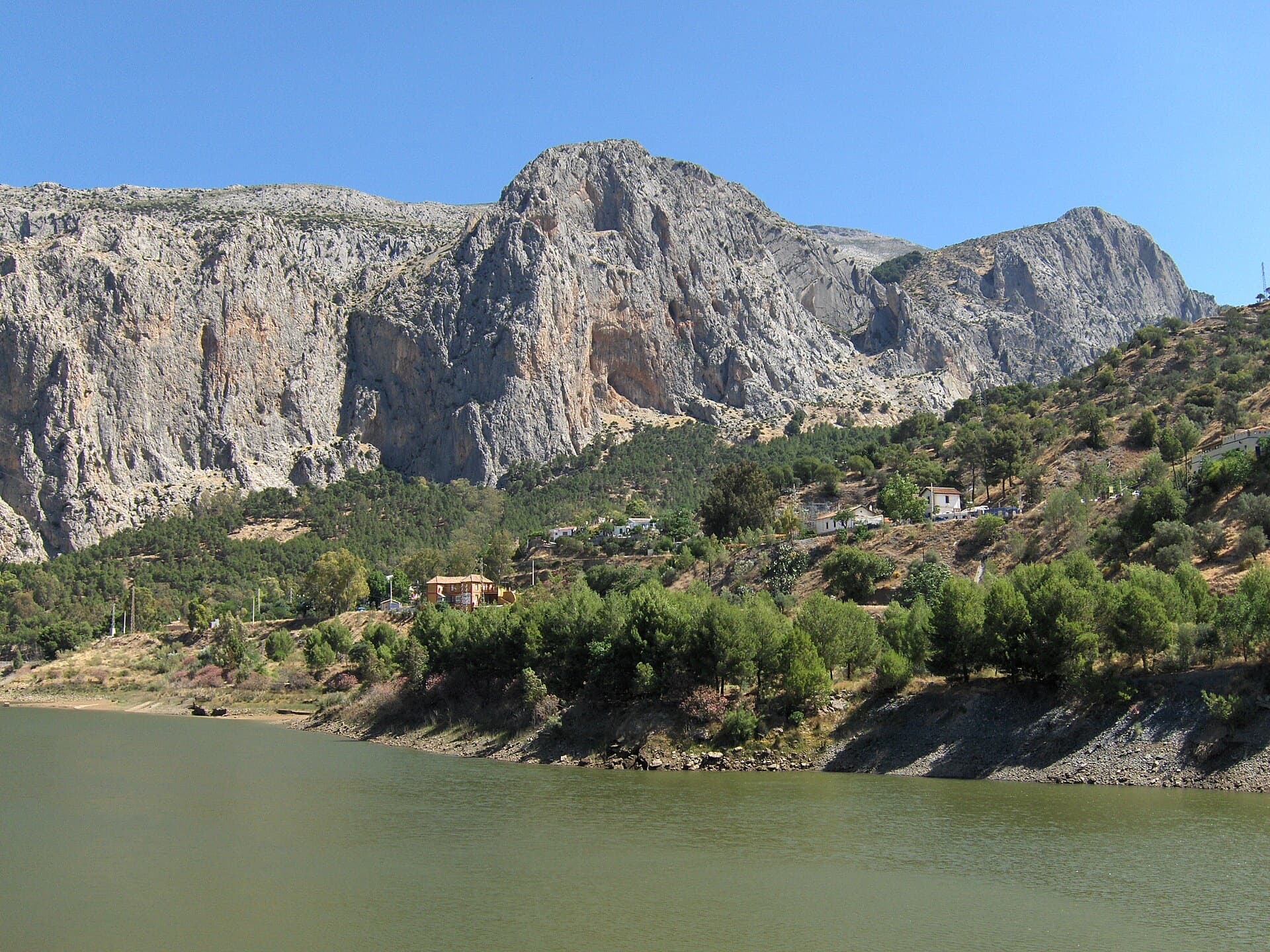
Lluvia de Asteroides follows the eye-catching ridge line on the Mundo sector of Frontales, the first rock you see from El Chorro station. It gives eight pitches and about 250 m of moderate, exposed climbing with friendly bolting, bolted belays and abseil rings at each stance. Most sources grade it 5+ or 5c, with the first four pitches the best. The descent needs care: one 35 m abseil from near the top and then a scramble to the Amptrax descent path. It is a good first long route for a team already comfortable at the grade.
In pictures
The climbing
| Pitch | Grade | Length | Notes |
|---|---|---|---|
| P1 | 5+ | 30 m | Start past the cord thread, which is the first protection. |
| P2 | 5+ | 30 m | The line trends right after this pitch. |
| P3 | 5 | 34 m | – |
| P4 | 5+ | 40 m | The longest pitch. Some loose rock is reported here, most of it avoidable. |
| P5 | 4 | 22 m | – |
| P6 | 5 | 30 m | – |
| P7 | 5 | 30 m | Ends on a big ledge. Walk to the back of the ledge and look round to the right for the view. |
| P8 | 4+ | 35 m | To the summit anchor. |
Getting there
El Chorro village is the base, about 45 minutes from Málaga. A hire car is the easiest option; trains run often from Málaga María Zambrano to Álora and about once a day to El Chorro itself. For Frontales, park at the reservoir below the village, at Los Albercones (poor road) or at Las Encantadas. Do not drive or park inside the nature park where signs forbid it.
Walk in along the path under Frontales to the toe of the buttress between the Momia and Suizo sectors, then go about 30 m uphill and to the right. The route name is scratched into the rock at the base, and the first protection is a cord threaded through the rock. No source gives a time for this sector; Frontales in general is about 30 minutes from the village.
Loading map
The point marks the crag, not the exact start of the route.
Point from Mountain Project area 122183156 (Mundo)
Contains the route point. Opens in most mapping apps and GPS watches.
Points are compiled from published sources, with the precision stated above. They were not surveyed on the ground: check them against a current topo.
Coordinates: 36.91336, -4.75809 (crag)
Getting down
From the summit anchor move a few metres left to an abseil station marked with a heart scratched (or painted white) on the rock. Make one 35 m abseil to a ledge. From the ledge scramble carefully towards the Amptrax sector until you see markers, then follow the cairns up onto the hillside and down the Amptrax descent path. Abseiling the route is not recommended: the line trends right above P2, so the abseils are not straight.
Retreat
Bail with caveats
Yes, but it gets awkward above P2. There are abseil rings at every stance, and Mountain Project and theCrag say the route can be abseiled on a 70 m rope with care. theTopo advises against it because the line trends right above P2, so the abseils are not straight.
Partly inferred from the route facts
Safety
Sun and weather
South-facing and sunny all day on an exposed ridge. Best October to May; dries quickly. Popular in winter.
Sun on the wall · S-facing
Working out the sunlit hours for this month.
Sun on the wallDaylight, wall in shade● Usual season
Estimated from the wall's aspect only. Ignores surrounding terrain, gullies and the wall's exact shape. Clock times are local to the wall (Central European time), for the 15th of each month.
| Measure | Jan (usual season) | Feb (usual season) | Mar (usual season) | Apr (usual season) | May (usual season) | Jun | Jul | Aug | Sep | Oct (usual season) | Nov (usual season) | Dec (usual season) |
|---|---|---|---|---|---|---|---|---|---|---|---|---|
| Mean daily high °C | 14 | 15 | 17 | 20 | 24 | 29 | 32 | 32 | 27 | 23 | 17 | 15 |
| Mean daily low °C | 5 | 6 | 8 | 10 | 13 | 17 | 20 | 20 | 17 | 14 | 9 | 7 |
| Rain days 1 mm or more | 7 | 7 | 7 | 7 | 6 | 2 | 0 | 1 | 4 | 7 | 8 | 7 |
● marks the usual climbing season. Averages for 1991-2020 at about 321 m. Area climate from Open-Meteo reanalysis. Temperatures are adjusted to the height of the crag; rain comes from a grid cell of about 10 to 25 km, and summer highs on sea cliffs can read a few degrees low. The wall and valley can differ. Data: Open-Meteo, CC BY 4.0.
What to carry
Single 70 m rope, needed for the 35 m abseil. About 14 quickdraws is the usual El Chorro rack; no source gives a route-specific count. Helmet.
Derived from the route data; check it against a current topo
From climbers
Reader reports are not being collected yet. Until they are, check a current topo and the local club or guidebook publisher for recent changes to Lluvia de Asteroides.
Worth knowing
Open questions
Provenance
Same area
Spain · El Chorro
The absolute El Chorro classic: a physical, sustained line that feels tough for the grade, with a 6a traverse right under the roof. Polished in places from heavy traffic.
6a9 pitches182 m
Spain · El Chorro
Ten varied pitches on good rock in a superb position: a roof, slabs, a tenuous traverse by a cave and a steep corner. Several pitches feel stiff for the grade, especially the P2 crux.
6b10 pitches279 m
Spain · El Chorro
The longest easy line in El Chorro. It starts up a broken corner-ramp, then climbs a steeper wall trending right to the top. It's uncommitting and easy to link pitches, with some loose rock to watch for.
5c12 pitches310 m
Spain · El Chorro
A good continuation above Nitti. Highlights are a short, thin 6b slab on P4 and a pumpy steep start to the final 6a+ pitch.
6b6 pitches138 m
Read the cautions
Around 5+ · about 8 pitches
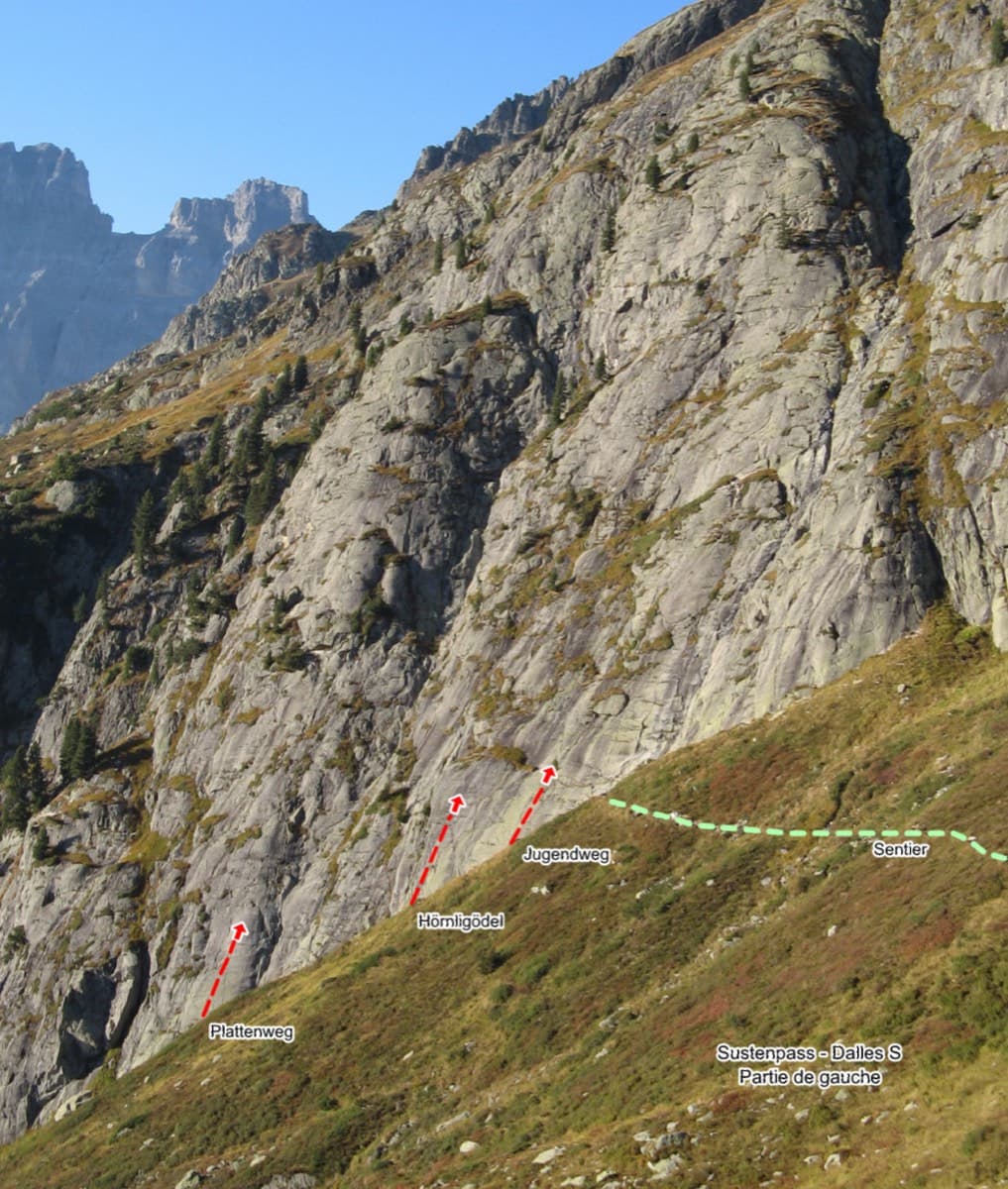
Switzerland · Susten
Relaxed, low-angle granite slab climbing on small edges, 15 minutes from the Sustenpass road. It makes an ideal first alpine-granite multipitch.
5b+7 pitches200 m
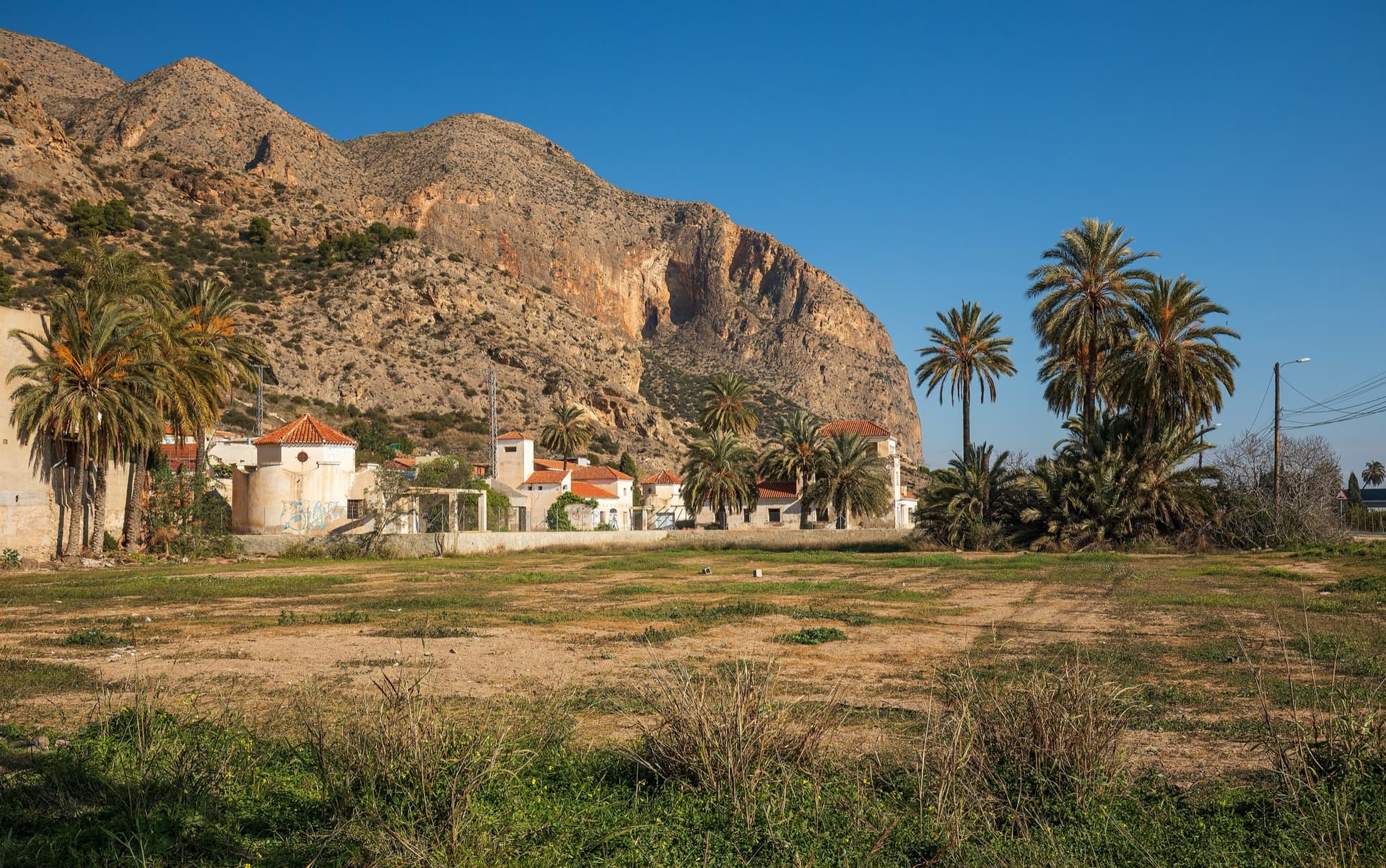
Spain · Vega Baja (Orihuela & Callosa)
A long, steady V+ spur to the summit of the Sierra de Callosa on exceptional rock. Many terraces allow a safe retreat, which makes it good mileage for building multipitch experience. Check local seasonal climbing restrictions in the Sierra de Callosa.
5+9 pitches500 m
Read the cautions
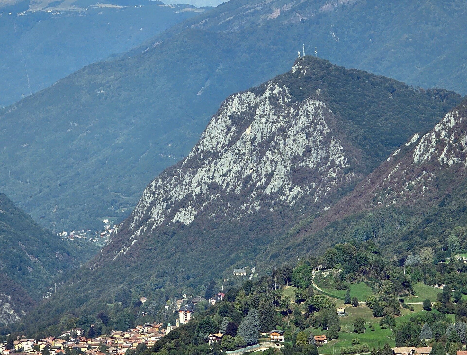
Italy · Lecco & Valsassina
The first route opened on the Zucco dell'Angelone, following the natural line of the fourth spur by corners, cracks, a chimney and friction slabs. Eight varied pitches at 5a to 5b with an easy crest to finish. Never hard but never trivial either.
5b8 pitches220 m
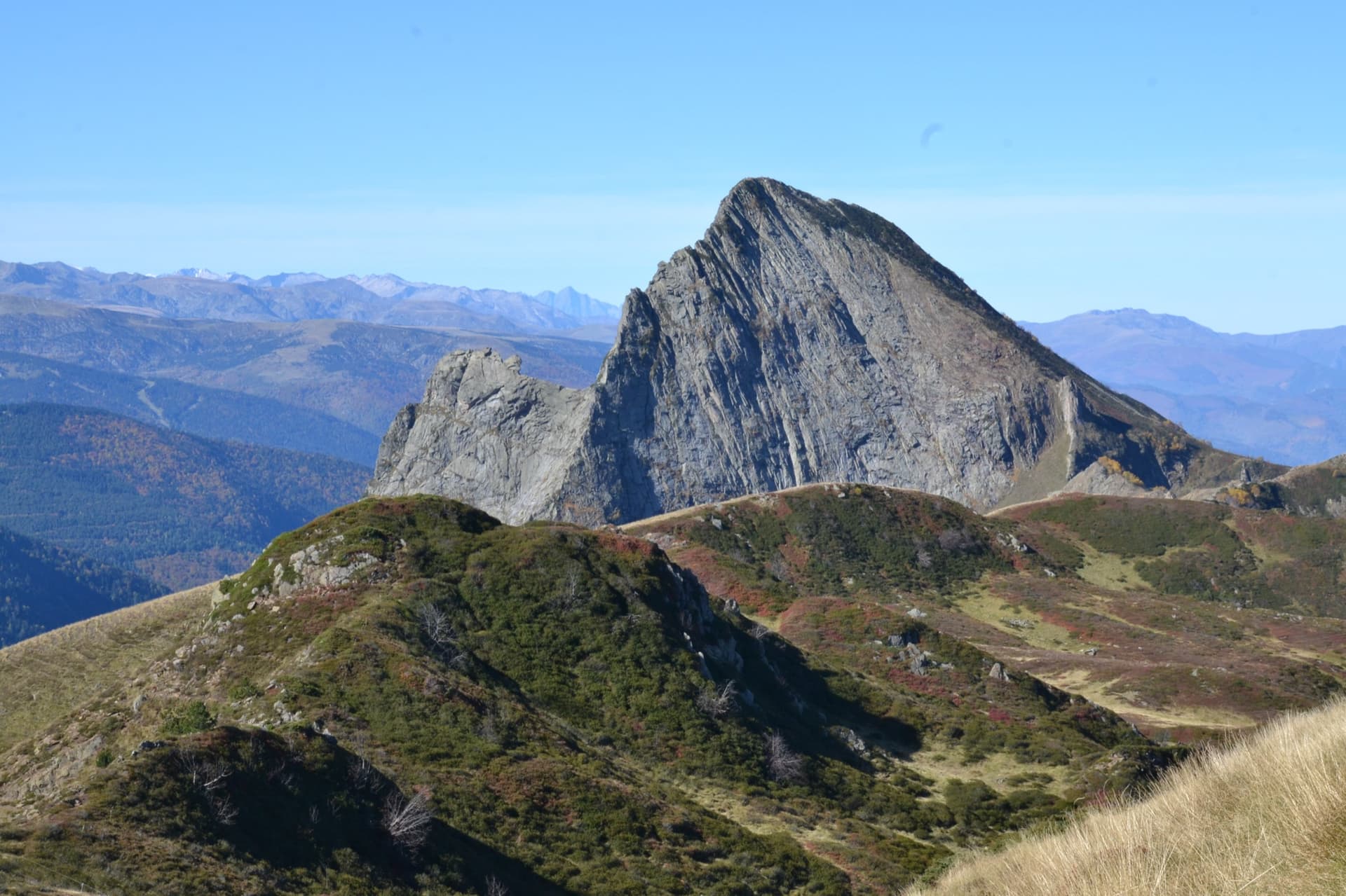
France · Ariège Pyrenees
Consistent, low-angled slab climbing on compact granite, with 10 pitches of 5a–5b+ on the big east face. Above all it is a long, sunny-morning moderate.
5b+10 pitches400 m
Read the cautions
Compiled from published sources and last verified October 2026. Bolts, anchors and access change. Climbing is dangerous and you are responsible for your own decisions: check a current topo and read the disclaimer.