Multipitch Atlas

José Antonio Sanz

Mallo Frechín, Riglos · Riglos & Agüero (Mallos) · Spain

Bail with caveatsBolting confidence: high

A good first route at Riglos: seven sustained 6a pitches on the spur of the Frechín, with a grandstand view of the Visera. Manage rope drag on the wandering first pitch.

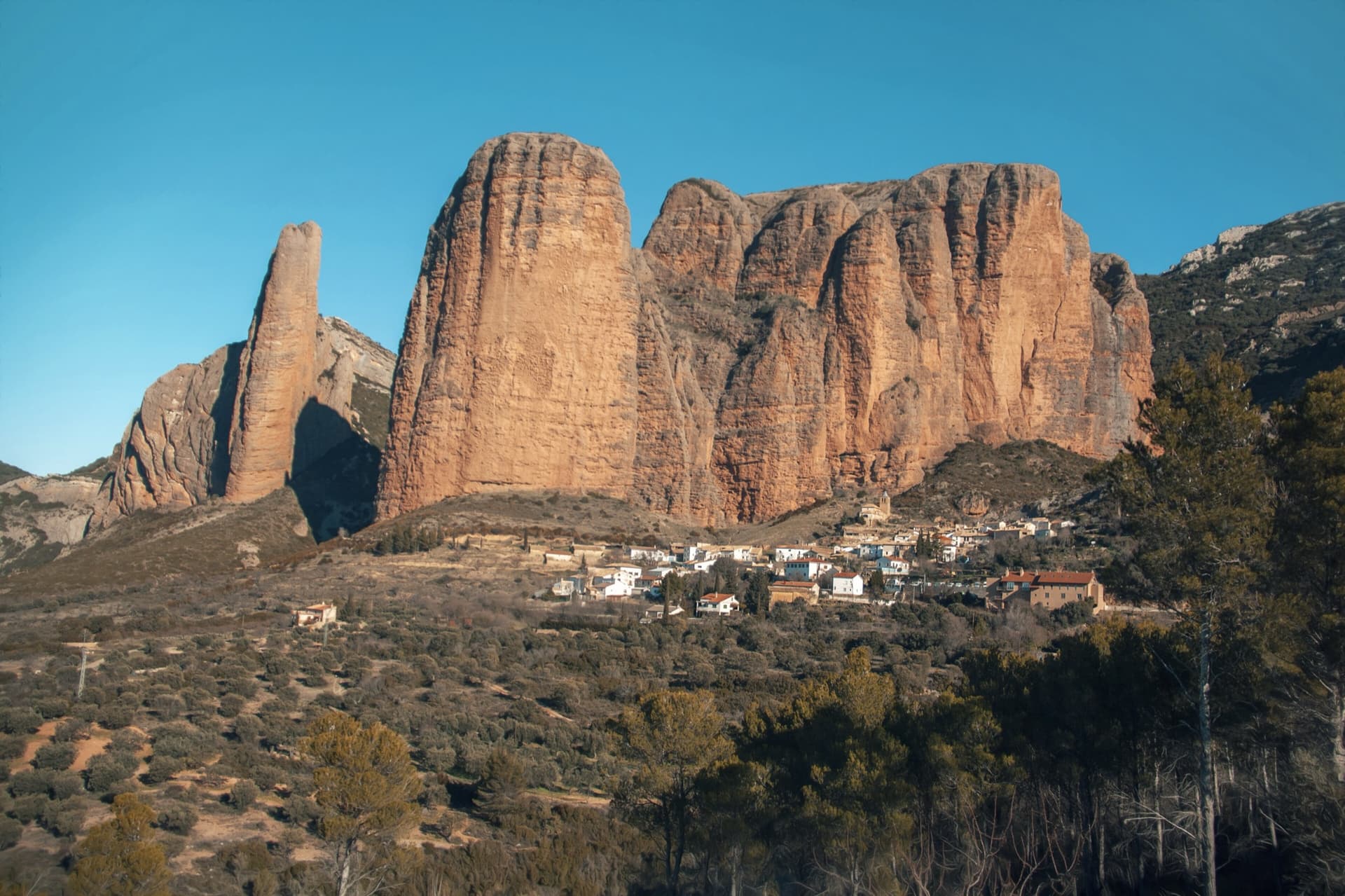
The south faces of the main Riglos wall in low sun, seen from the road into the village: Mallo Pisón on the left and the wall running right towards Mallo Frechín and La Visera at the right-hand end.Photo: Jl FilpoC · CC BY-SA 4.0

Photo

The south faces of the main Riglos wall in low sun, seen from the road into the village: Mallo Pisón on the left and the wall running right towards Mallo Frechín and La Visera at the right-hand end.Photo: Jl FilpoC · CC BY-SA 4.0
Hardest pitch
6a+
Pitches
7
Length
180 m
Approach
–
Aspect
S
South-facing
Rope
1×60 m
walk-off

The route

Overview

A steep, closely bolted line up the spur of the Mallo Frechín, the tower just left of the Visera. Every pitch is 5c to 6a+ on typical Riglos bulges, with one change of style in the corner on pitch 4, and it finishes on the top of the mallo with a walk-off. Reports agree it is homogeneous, friendly for the grade and a good first route on the big mallos, though the steepness adds up. The line wanders a lot, so rope drag and route finding need attention.

In pictures

Photos

Approach photo

The climbing

Pitch by pitch

Pitches of José Antonio Sanz
PitchGradeNotes
P16aA wandering pitch: manage rope drag. Stop at the first ledge, where one 2023 party found the belay on three old bolts. The belay is a little to the left and easy to climb past.
P26aSustained bulges. A 2023 report says to continue past a second poor belay and over the step above it to two new bolts. That party found pitches 1 and 2 the hardest.
P36a+Sustained.
P46aStraight up at first, then into the gully-corner (average rock), leaving it by the right after about 10 m. The last bolts and the belay are right of the chimney, in a very exposed position.
P55cA marked traverse right, crossing Irene y la Paz, then a short move back left. The belay is on flat ground above a step and hard to see; do not follow the bolts of Irene y la Paz, which goes off left. Comfortable belay.
P66a+Straight up above the belay. One hard move low down and a harder one in the middle.
P75cEasier climbing to the top.

Getting there

Approach

To the parking

Riglos village (Las Peñas de Riglos) is about 45 km north-west of Huesca. From Huesca drive to Ayerbe, follow the A-132 towards Jaca and turn right after a few kilometres onto the small road to Riglos; from Pamplona or France (Somport, Jaca, Puente la Reina de Jaca) take the A-132 towards Ayerbe and turn left shortly after Murillo de Gállego. Parking is in the large pay car parks at the village entrance (3 EUR a day for cars, 6 EUR for vans in 2026). The refugio is the modern building on the left as you enter the village; there is a campsite at Murillo de Gállego.

On foot

From Riglos go up to the church, then take the small path just to its right that climbs onto the ridge. Stay on the crest (faint paths) to the foot of the wall. The start is on the spur, at a small rock step about 1.5 m high. Irene y la Paz (a big east-facing crack) is further right; Currucuclillo is to the left. A party on Currucuclillo timed parking to the base at about 20 minutes.

Finding the route · 3 photos

Approach photo

Map of the walk-in

  • Crag

Loading map

The point marks the crag, not the exact start of the route.

Coordinates · crag

42.35070, -0.72510

Point from camptocamp waypoint 471777

For your phone or watch

Download GPX

Contains the route point. Opens in most mapping apps and GPS watches.

Points are compiled from published sources, with the precision stated above. They were not surveyed on the ground: check them against a current topo.

Getting down

Descent

Walk off. From the top head due north to a higher summit, reached by very easy scrambling, then follow the cairned path to the top of the Visera. From there descend NNE on a cairned path to a col (easy but very exposed). Then either drop SSE on the path that follows a stream bed back under the Visera and the Frechín (shorter, steeper), or, recommended, follow the good path to another col below limestone outcrops to the north-west, contour through woods and join the main blue-marked path that descends the cirque between the Firé and the Pisón. Allow about an hour. Abseiling a neighbouring line is possible but not advised: a 2026 party had their rope jam behind a ledge when abseiling from a niche belay and had to climb back up to free it.

Retreat

Bailing off the route

Bail with caveats

You can retreat, but it is not laid on. Some belays are chained and others are separate bolts you would have to link and leave gear on, and the line wanders. A 2026 party who abseiled a neighbouring line from a niche belay had the rope jam behind a ledge and had to climb back up to free it, and the guide's sources advise against abseiling as a way down.

Retreat from
Not documented belay by belay. Camptocamp says only that some belays have chains and the rest need linking; the first two pitches also have old belays (three old bolts, a second poor anchor) that are best avoided. Pitch 1 wanders, and pitch 5 is a marked traverse right across Irene y la Paz, so from belay 5 upwards you are no longer above your own lower pitches.
Point of no return
None is stated. The pitch 5 traverse is the natural break: above it an abseil would go down different ground from what you climbed, and only two pitches (6a+ and 5c) remain to the walk-off (inference).
Carry
Pitch lengths are not published, so the rope needed for abseils is not known; a 2020 party recommends double 60 m ropes at Riglos generally. Cord and two maillons for the belays that are not chained.
Basis
Part stated, part inferredCamptocamp states the mix of chained and unchained belays, the wandering line and the pitch 5 traverse, and a 2026 report describes the jammed rope on a neighbouring abseil line; the consequences for retreat are inferred.

Partly inferred from the route facts

Safety

Hazards

  • Some hangers spin: reported on Camptocamp and still noted in 2023.
  • Not every belay is chained; some need linking, and old belays (three old bolts, a second poor anchor) remain on the first two pitches.
  • The line zigzags and crosses Irene y la Paz at pitch 5. Parties have finished up Irene y la Paz (6b) by mistake.
  • Average rock in the gully on pitch 4 and a few sections needing care elsewhere.
  • The descent path from the Visera to the col is easy but very exposed.

Sun and weather

Conditions

South-facing, but in May reports say the route stays in shade until late morning. Reported well sheltered from north wind. One party sat out a shower and some hail on pitch 5 and carried on.

Usual season · Feb to May, Oct to Dec

Sun on the wall · S-facing

Working out the sunlit hours for this month.

  • January: not yet worked out
  • February (usual season): not yet worked out
  • March (usual season): not yet worked out
  • April (usual season): not yet worked out
  • May (usual season): not yet worked out
  • June: not yet worked out
  • July: not yet worked out
  • August: not yet worked out
  • September: not yet worked out
  • October (usual season): not yet worked out
  • November (usual season): not yet worked out
  • December (usual season): not yet worked out

Sun on the wallDaylight, wall in shade● Usual season

Estimated from the wall's aspect only. Ignores surrounding terrain, gullies and the wall's exact shape. Clock times are local to the wall (Central European time), for the 15th of each month.

Monthly climate averages for Riglos & Agüero (Mallos), 1991-2020
MeasureJanFeb (usual season)Mar (usual season)Apr (usual season)May (usual season)JunJulAugSepOct (usual season)Nov (usual season)Dec (usual season)
Mean daily high °C9101416202629292418129
Mean daily low °C1135913161612942
Rain days 1 mm or more97910107678998

● marks the usual climbing season. Averages for 1991-2020 at about 612 m. Area climate from Open-Meteo reanalysis. Temperatures are adjusted to the height of the crag; rain comes from a grid cell of about 10 to 25 km, and summer highs on sea cliffs can read a few degrees low. The wall and valley can differ. Data: Open-Meteo, CC BY 4.0.

What to carry

Gear

17 quickdraws, including some long ones (the Spanish description says 15). A spanner for loose hangers. Sling or cord to join the belays that are not chained. A single rope is enough since you walk off; a 2020 party recommends double 60 m ropes as the general Riglos choice. Helmet.

Checklist

Quickdraws
17
Rope
1×60 m (walk-off)
Helmet
One each
Abseil device and prusik
The descent or the retreat involves abseiling
Maillons or spare karabiners
To leave behind if you retreat
Cord
Mentioned for retreat

Derived from the route data; check it against a current topo

From climbers

Reader reports

Reader reports are not being collected yet. Until they are, check a current topo and the local club or guidebook publisher for recent changes to José Antonio Sanz.

Worth knowing

Tips

  • Bolts are close together, typically 1 to 3 m apart, so the grades feel friendly compared with other mallos.
  • Use long quickdraws and extend on pitch 1 to control drag.
  • The belay after pitch 5 is the comfortable place for a rest.
  • For the walk down, locals and guides recommend the longer loop north to the blue-marked path between the Firé and the Pisón.
  • Car park to car park took recent parties 5 to 6 hours, with 3.5 to 4 hours on the route.

Open questions

Where sources disagree

  • Pitch count: Camptocamp's French description has 7 pitches (6a, 6a, 6a+, 6a, 5c, 6a+, 5c). Its Spanish description quotes the Riglos Vertical topo with 5 grades (6a, 6a, 6a+, 6a, 5c/6a). An older club topo photo shows 6 pitches (6a, 6a+, 6a, V+, 6a+, V) and a 2020 blog also counts 6. The 7-pitch version matches the most recent trip reports and is used here.
  • Length: 180 m on Camptocamp, about 200 m on the club topo and the 2020 blog, 220 m in a Swiss club report.
  • Quickdraws: 17 (French text and a 2023 report) against 15 (Spanish text). 17 is kept.

Provenance

Sources

Same area

More in Riglos & Agüero (Mallos)

All routes in Riglos & Agüero (Mallos)
The classic view of Riglos from the south-west: the slender pinnacle of El Puro on the left, the great dome of Mallo Pisón beside it, and the main wall running right to La Visera above the village.

Spain · Riglos & Agüero (Mallos)

Espolón del Adamelo

This is the gentlest way to sample Riglos. Polished pockets and two bulging 'panzas' lead to a 6a crux that can be pulled through on the bolts (A0). The upper spur is easy, and the Pisón towers loom close by.

6a7 pitches175 m

Read the cautions
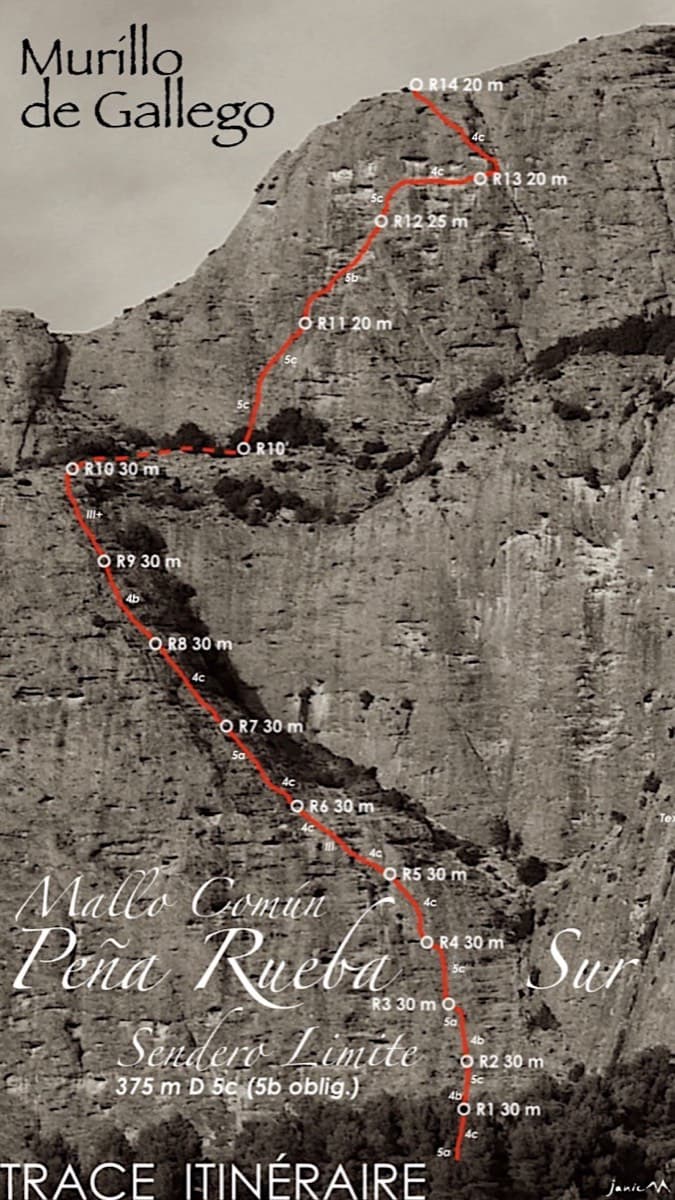
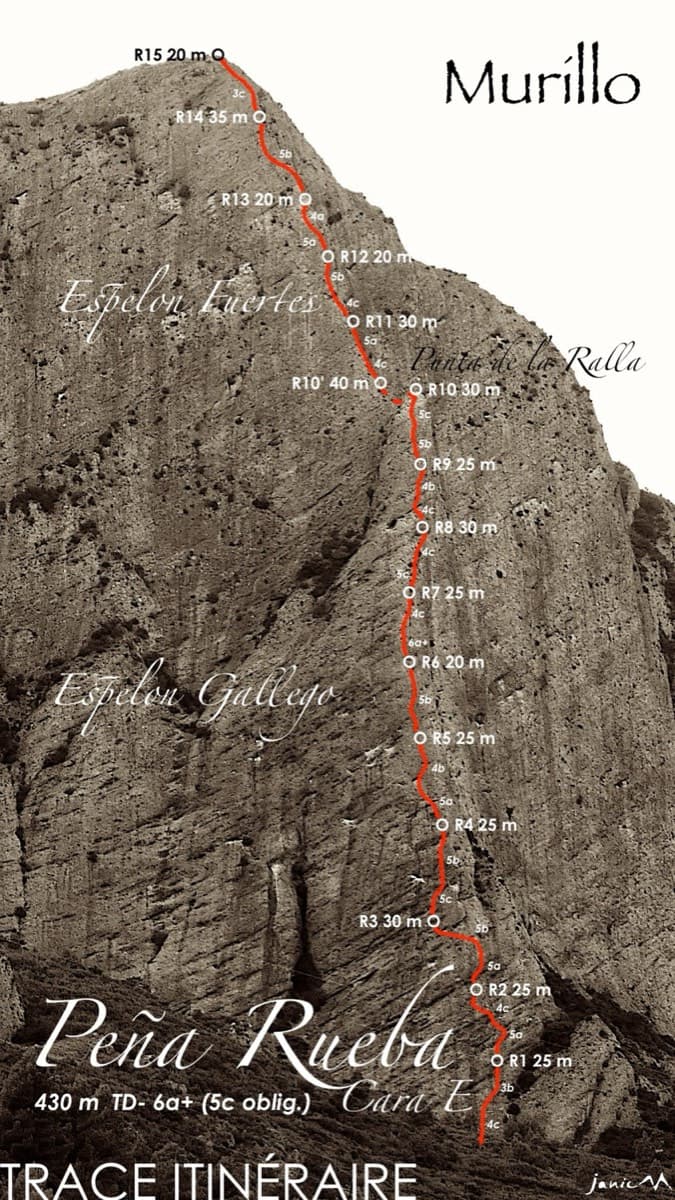
Topo of Sendero Límite on the south face of Peña Rueba (Mallo Común)

Spain · Riglos & Agüero (Mallos)

Sendero Límite

A long beginner's big route on good conglomerate at a moderate angle. Pitches can be linked in pairs with a 60 m rope. A four-pitch headwall with a couple of panzas finishes high above the Gállego valley.

5c14 pitches375 m

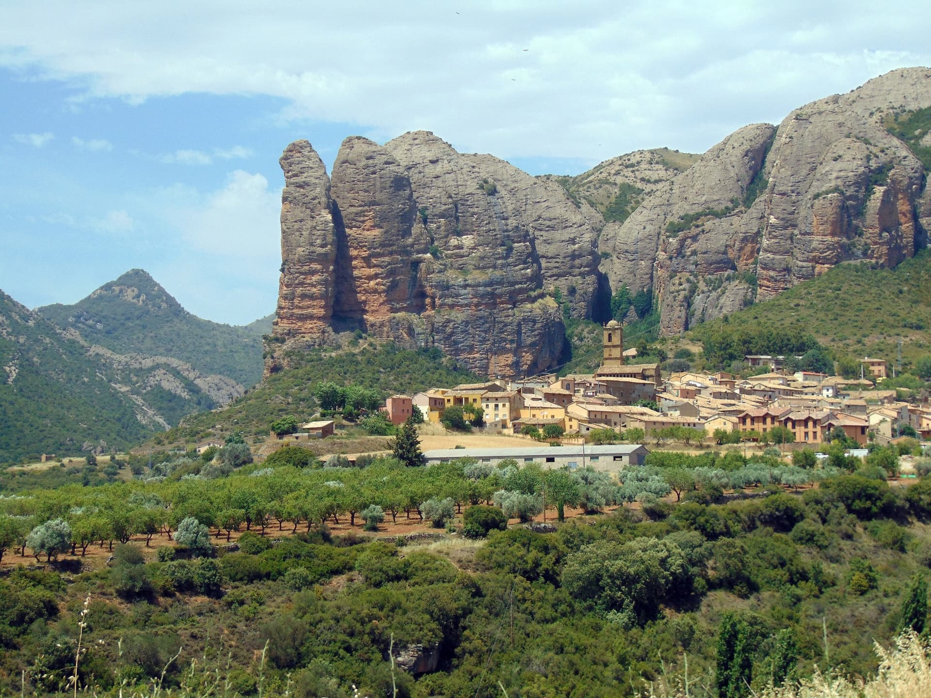
The Mallos de Agüero rising directly behind the village, seen from the south-east, with the detached tower of Peña Sola at the left end; the east-facing walls are towards the right-hand end of the massif.

Spain · Riglos & Agüero (Mallos)

Tierra de Naide

A morning-sun route at the quieter Agüero mallos. Easy slabs separate two fine steep walls, including a superb vertical 5c plaque on pitch 4. Take care with some loose cobbles on the last traverse.

5c5 pitches145 m

Around 6a+ · about 7 pitches

Similar elsewhere

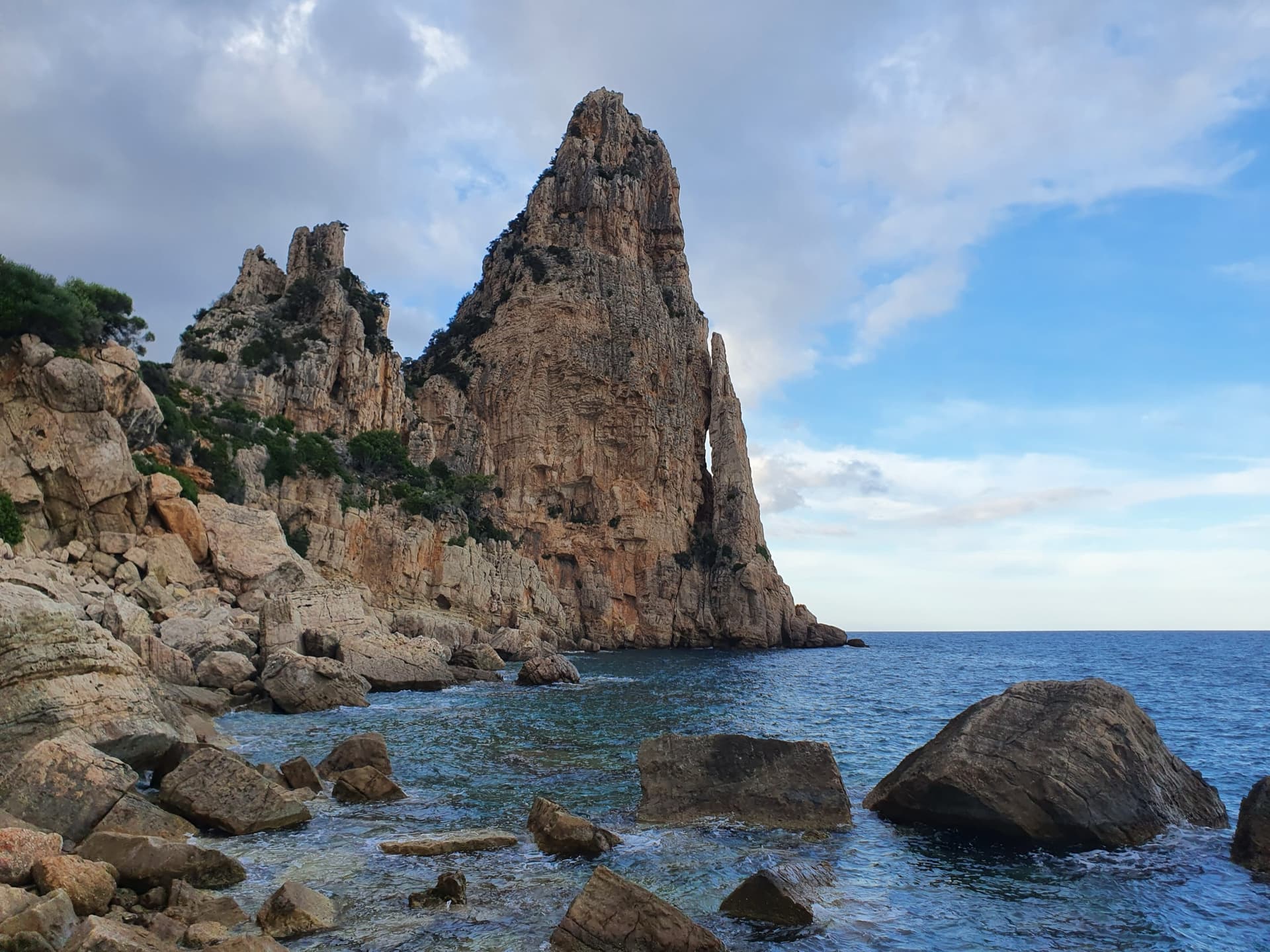
Pedra Longa, the 128 m limestone tower on the Baunei coast, seen from the shoreline rocks at its foot.

Italy · Sardinia

Marinaio di Foresta

An airy, mostly left-rising traverse that spirals round the Pedra Longa sea stack to its summit, on water-runnelled grey walls and pocketed white rock right above the sea. It has become one of the most popular routes in Sardinia, so expect queues.

6a+7 pitches190 m

Committing

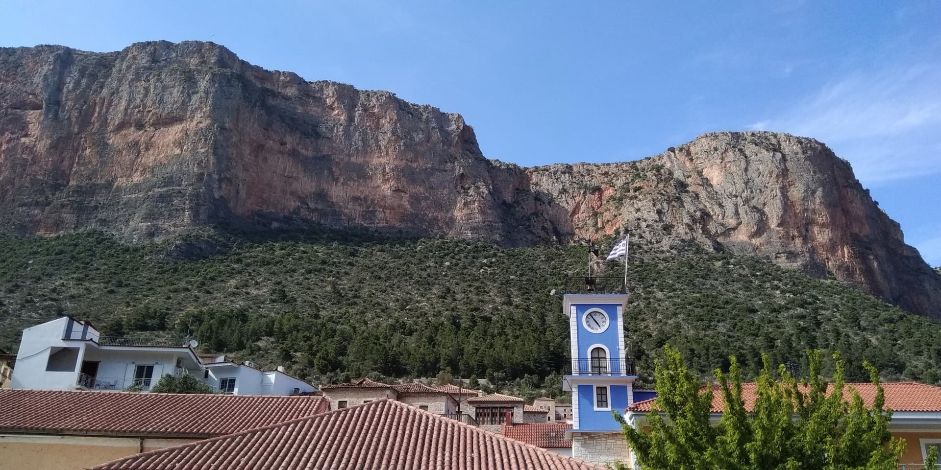
The red limestone wall of Kokkinovrachos rising directly above the rooftops and clock tower of Leonidio. Kapi Reborn is on the south-east face of this cliff; the exact line is not marked.

Greece · Leonidio & Kyparissi

Kapi Reborn

A newer pillar line with a pretty 45 m slab to start, a single interesting 6a+ crux on P4, and a final orange corner. It makes a good step up from Mignonette.

6a+7 pitches180 m

No photo yet

Greece · Crete

Le Syndrome de Calimero

An accessible gorge multi-pitch with views over the canyon, the sea and the little Orthodox chapel. It has steep juggy walls, a short traverse onto an arête and a corner with a jammed block (take care). The rock is less sticky higher up.

6a+7 pitches200 m

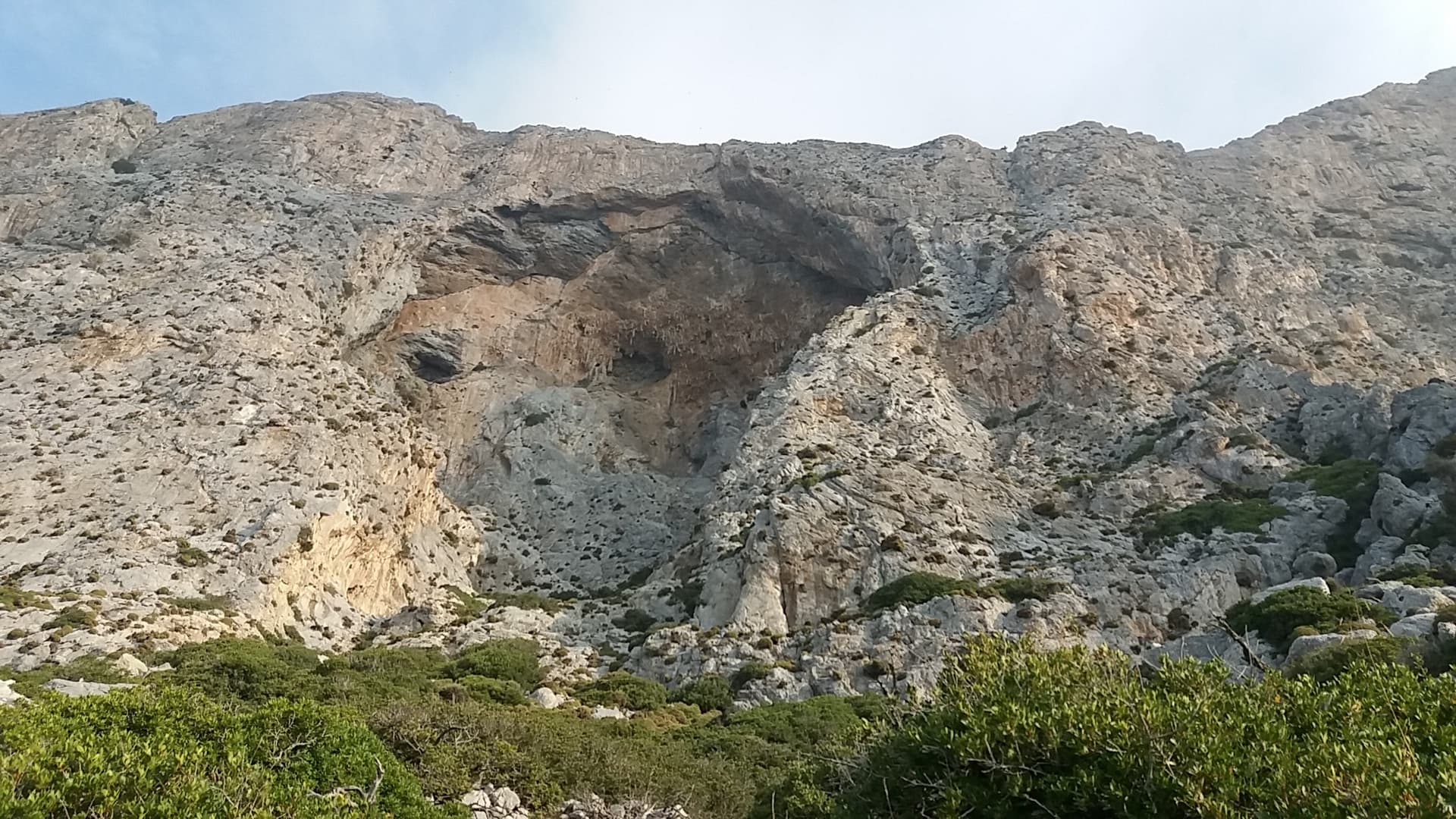
The south face of Telendos around its great cave, seen from the approach path.

Greece · Kalymnos & Telendos

Rita Telendos

Thin moves over small bulges, stemming and big jugs on 'cauliflower' limestone. The crux is P6, which ends at a hanging belay. Mountain Project gives the pitches in YDS only (5.8–5.10b), so French pitch grades are not listed; the overall grade is 5.10b (6a+), and some listings give 6b. You can link P3–P4 and P5–P6.

6a+7 pitches152 m

Read the cautions

Compiled from published sources and last verified October 2026. Bolts, anchors and access change. Climbing is dangerous and you are responsible for your own decisions: check a current topo and read the disclaimer.