Multipitch Atlas

Currucuclillo

Mallo Frechín, Riglos · Riglos & Agüero (Mallos) · Spain

Bail with caveatsBolting confidence: high

Just left of José Antonio Sanz and a little less sustained, on better rock than its neighbours.

The south faces of the main Riglos wall in low sun, seen from the road into the village: Mallo Pisón on the left and the wall running right towards Mallo Frechín and La Visera at the right-hand end.Photo: Jl FilpoC · CC BY-SA 4.0

Photo

The south faces of the main Riglos wall in low sun, seen from the road into the village: Mallo Pisón on the left and the wall running right towards Mallo Frechín and La Visera at the right-hand end.Photo: Jl FilpoC · CC BY-SA 4.0
Hardest pitch
6a+
Pitches
9
Length
200 m
Approach
20 min
Aspect
S
South-facing
Rope
1×60 m
walk-off

The route

Overview

A nine-pitch bolted route up the south face of the Mallo Frechín, starting just left of José Antonio Sanz and finishing on top of the mallo. The climbing is a tour of the bulges rather than a direct line: steady 5c to 6a with one 6a+ pitch and almost no easy ground, on short pitches that weave about. Bolts are close on the hard moves and wider on easy ground and on pitch 8. The eighth pitch, a long 6a, is singled out as the best.

In pictures

Photos

  • The areaRiglos from the south-west: El Puro and Mallo Pisón on the left, the main wall running right to La Visera above the village.Photo: Juanedc · CC BY 2.0

Approach photo

The climbing

Pitch by pitch

Pitches of Currucuclillo
PitchGradeLengthNotes
P16a30 mReported slightly greasy, with a stiff move while still cold.
P25c25 m–
P36a+25 mThe hardest pitch on paper. Bolts are close on the hard moves of these first pitches.
P45c30 mOne party saw another retreat from the belay at the top of this pitch.
P55b20 m–
P66a30 m–
P75c15 m–
P86a35 mThe best pitch: long, on positive holds and a little exposed. Bolts are further apart here, noticeably so at the exit.
P94b10 mEasy finish. There is a hidden bolt well to the right before the obvious one. The correct top belay is on the left, not the single bolt tied to a root with old cord.

Getting there

Approach

To the parking

Riglos village (Las Peñas de Riglos) is about 45 km north-west of Huesca. From Huesca drive to Ayerbe, follow the A-132 towards Jaca and turn right after a few kilometres onto the small road to Riglos; from Pamplona or France (Somport, Jaca, Puente la Reina de Jaca) take the A-132 towards Ayerbe and turn left shortly after Murillo de Gállego. Parking is in the large pay car parks at the village entrance (3 EUR a day for cars, 6 EUR for vans in 2026). The refugio is the modern building on the left as you enter the village; there is a campsite at Murillo de Gállego.

On foot · about 20 min

From Riglos go up to the church and take the small path to its right onto the ridge, then follow the crest to the foot of the Mallo Frechín. The route starts to the left of José Antonio Sanz. One party timed car park to the base at 20 minutes.

Finding the route · 2 photos

  • Walk-inThe start of the walk-in to the Mallo Frechín: the small path that leaves beside Riglos church and climbs onto the ridge, which you then follow to the foot of the wall.Photo: petitmontagnard · CC BY-NC-ND 3.0
  • OverviewThe Mallo Frechín group seen from the ridge path above the church. A 2025 party marks the central pillar as José Antonio Sanz; Currucuclillo starts to its left.Photo: petitmontagnard · CC BY-NC-ND 3.0

Approach photo

Map of the walk-in

  • Crag

Loading map

The point marks the crag, not the exact start of the route.

Coordinates · crag

42.35070, -0.72510

Point from camptocamp waypoint 471777

For your phone or watch

Download GPX

Contains the route point. Opens in most mapping apps and GPS watches.

Points are compiled from published sources, with the precision stated above. They were not surveyed on the ground: check them against a current topo.

Getting down

Descent

Walk off, the same way as José Antonio Sanz and Irene y la Paz. From the top scramble north to the higher summit and follow the cairned path to the top of the Visera, then down NNE to a col (easy but exposed). From there either take the steeper, shorter path east and south down a stream bed back under the Visera and the Frechín, or continue round to the blue-marked path that descends between the Firé and the Pisón. About an hour. A 2024 party instead abseiled a route further right from large glue-in anchors, noting that reaching them is somewhat exposed and that you can protect it with the rope round the tree above.

Retreat

Bailing off the route

Bail with caveats

Parties do retreat: one report mentions watching another team bail from the belay at the top of pitch 4. How the belays are rigged is not stated anywhere, and the line winds about with traverses, so expect short, careful abseils and be ready to leave gear. Nothing is recorded about retreating from higher up.

Retreat from
The top of pitch 4 is the only documented retreat point. Lower belays should work the same way (inference). Near the top, a 2024 party left by abseiling a route further right from large glue-in anchors, reached by a somewhat exposed approach.
Point of no return
None is documented. Pitches 5 to 9 are short and the top is a walk-off, so high on the route finishing is likely to be quicker than descending (inference).
Carry
Pitches are 10 to 35 m and mostly 30 m or less, so a single 60 m rope should cover belay to belay abseils except the 35 m pitch 8; two ropes remove the doubt (inferred from pitch lengths). Carry two maillons and cord, since the belay hardware is not described and in-situ slings are reported in poor condition.
Basis
Part stated, part inferredA trip report used in the guide states that a party retreated from the top of pitch 4, and a 2024 report describes the glue-in abseil further right; rope lengths and the state of the belays are inferred or undocumented.

Partly inferred from the route facts

Safety

Hazards

  • Bolts are spaced on pitch 8 and on easier ground, including the last pitch.
  • A 2020 party found a handful of bolts slightly loose.
  • In-situ slings in threads are in poor condition.
  • Rock is fragile in places and worse if you stray off the line, which is easy for the second on the traverses.
  • The line is winding and not always obvious; take care not to wander onto neighbouring routes.
  • Do not belay on the single bolt linked to a root by old cord at the top; the real belay is to the left.

Sun and weather

Conditions

South-facing. Reports from February to May and October to December; warm in the sun and cold at the belays when the wind blows, so carry a layer. One May party noted the face going into shade in late afternoon.

Usual season · Feb to May, Oct to Dec

Sun on the wall · S-facing

Working out the sunlit hours for this month.

  • January: not yet worked out
  • February (usual season): not yet worked out
  • March (usual season): not yet worked out
  • April (usual season): not yet worked out
  • May (usual season): not yet worked out
  • June: not yet worked out
  • July: not yet worked out
  • August: not yet worked out
  • September: not yet worked out
  • October (usual season): not yet worked out
  • November (usual season): not yet worked out
  • December (usual season): not yet worked out

Sun on the wallDaylight, wall in shade● Usual season

Estimated from the wall's aspect only. Ignores surrounding terrain, gullies and the wall's exact shape. Clock times are local to the wall (Central European time), for the 15th of each month.

Monthly climate averages for Riglos & Agüero (Mallos), 1991-2020
MeasureJanFeb (usual season)Mar (usual season)Apr (usual season)May (usual season)JunJulAugSepOct (usual season)Nov (usual season)Dec (usual season)
Mean daily high °C9101416202629292418129
Mean daily low °C1135913161612942
Rain days 1 mm or more97910107678998

● marks the usual climbing season. Averages for 1991-2020 at about 612 m. Area climate from Open-Meteo reanalysis. Temperatures are adjusted to the height of the crag; rain comes from a grid cell of about 10 to 25 km, and summer highs on sea cliffs can read a few degrees low. The wall and valley can differ. Data: Open-Meteo, CC BY 4.0.

What to carry

Gear

Camptocamp gives no quickdraw number for this route. A 2020 party carried 12 quickdraws plus 6 extendable ones on the Frechín routes and found that enough, with a couple of spares advised. Long quickdraws help with drag. A single rope is enough for the walk-off. Helmet.

Checklist

Quickdraws
Number not given in the sources
Rope
1×60 m (walk-off)
Helmet
One each
Abseil device and prusik
The descent or the retreat involves abseiling
Slings
Mentioned for retreat
Maillons or spare karabiners
To leave behind if you retreat
Cord
Mentioned for retreat

Derived from the route data; check it against a current topo

From climbers

Reader reports

Reader reports are not being collected yet. Until they are, check a current topo and the local club or guidebook publisher for recent changes to Currucuclillo.

Worth knowing

Tips

  • Pitches are short and wander, so linking them is difficult; drag is the main issue.
  • Being a popular line, the holds are chalked and slightly polished, which helps route finding.
  • Allow 4 to 5 hours on the route for a pair; a party of three took 5 h 45.
  • Sustained at 6a with no real easy pitch: reports say it only works as an introduction to Riglos if the whole party is comfortable at the grade.

Open questions

Where sources disagree

  • Rock quality: Camptocamp's French summary says the rock is better than on neighbouring Irene y la Paz, while the Spanish summary of the same page says it is not as good. Trip reports describe it as correct to good, fragile in places.
  • The comparison on Camptocamp is with Irene y la Paz (less sustained than Irene), not with José Antonio Sanz as the summary here has it.
  • Bolt spacing: Camptocamp reports call it very well equipped; the 2020 blog describes bolts 2 to 3 m apart and sometimes 4 m, and found it exposed.

Provenance

Sources

Same area

More in Riglos & Agüero (Mallos)

All routes in Riglos & Agüero (Mallos)
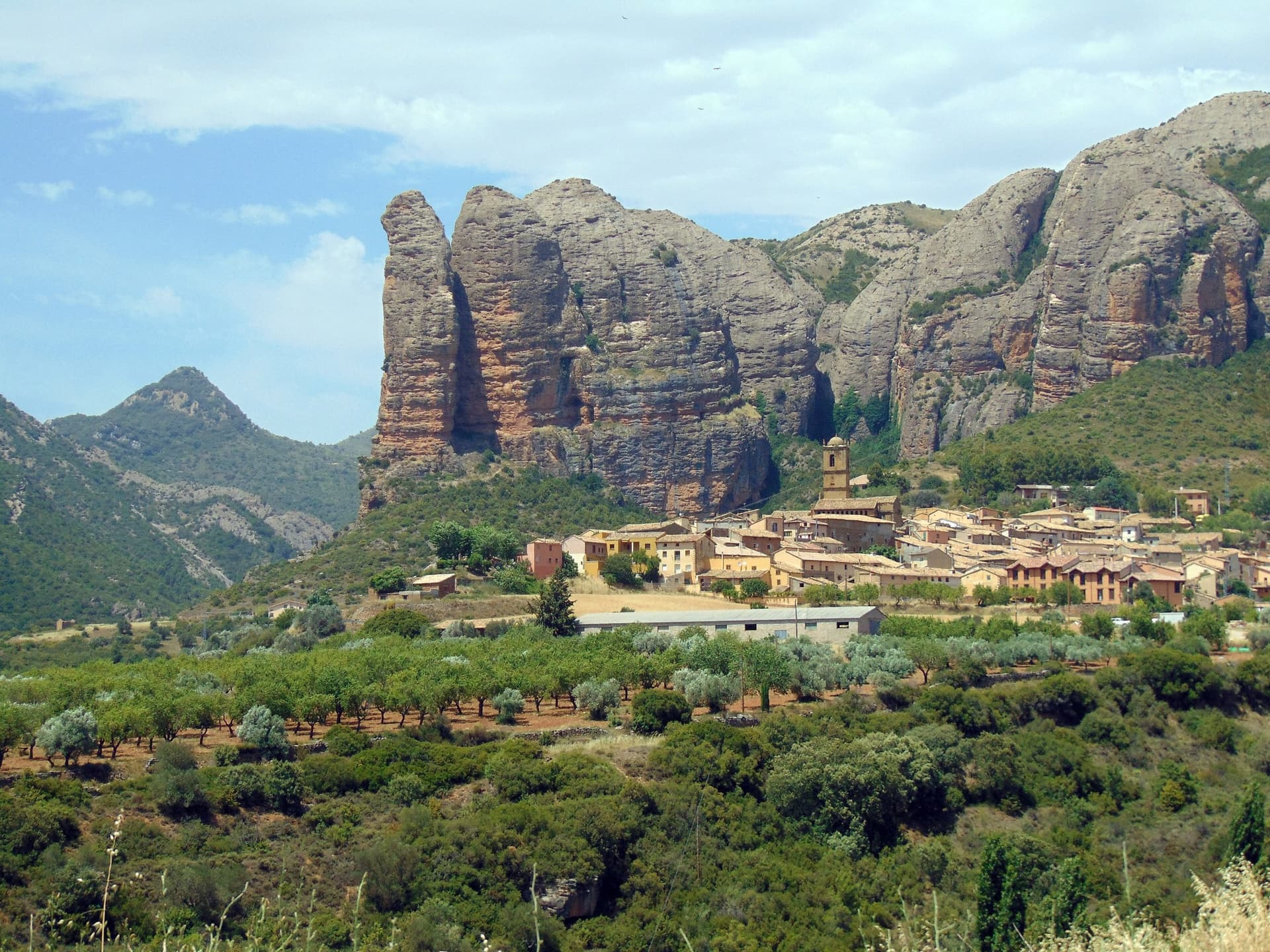
The classic view of Riglos from the south-west: the slender pinnacle of El Puro on the left, the great dome of Mallo Pisón beside it, and the main wall running right to La Visera above the village.

Spain · Riglos & Agüero (Mallos)

Espolón del Adamelo

This is the gentlest way to sample Riglos. Polished pockets and two bulging 'panzas' lead to a 6a crux that can be pulled through on the bolts (A0). The upper spur is easy, and the Pisón towers loom close by.

6a7 pitches175 m

Read the cautions
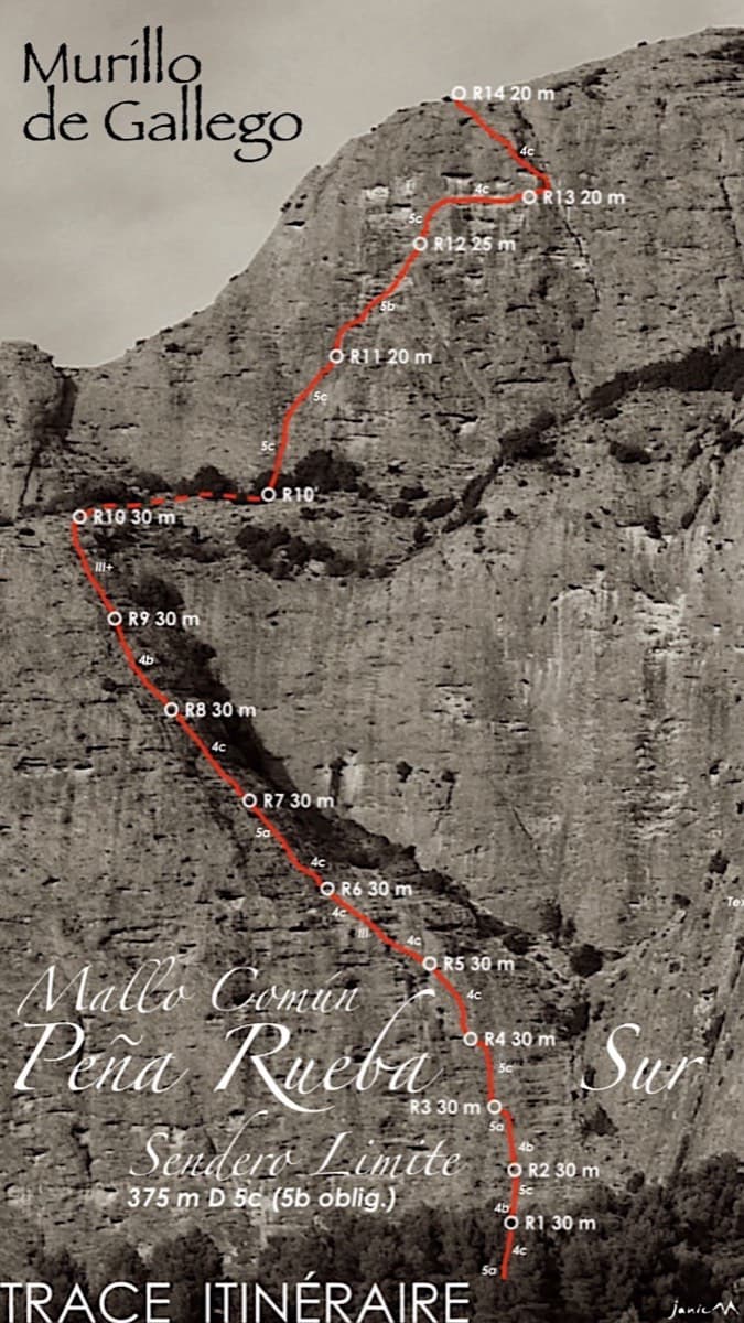
Topo of Sendero Límite on the south face of Peña Rueba (Mallo Común)

Spain · Riglos & Agüero (Mallos)

Sendero Límite

A long beginner's big route on good conglomerate at a moderate angle. Pitches can be linked in pairs with a 60 m rope. A four-pitch headwall with a couple of panzas finishes high above the Gállego valley.

5c14 pitches375 m

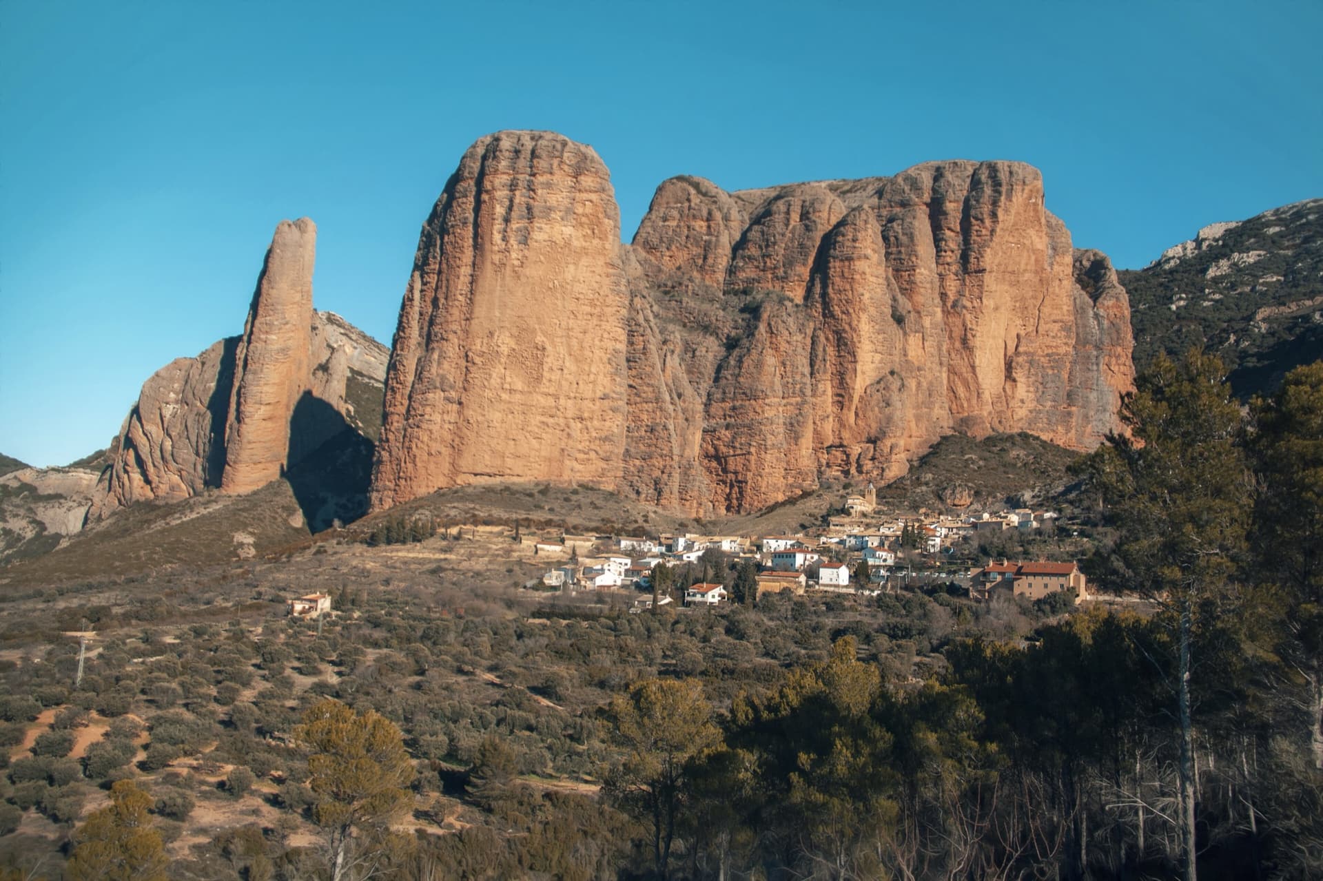
The Mallos de Agüero rising directly behind the village, seen from the south-east, with the detached tower of Peña Sola at the left end; the east-facing walls are towards the right-hand end of the massif.

Spain · Riglos & Agüero (Mallos)

Tierra de Naide

A morning-sun route at the quieter Agüero mallos. Easy slabs separate two fine steep walls, including a superb vertical 5c plaque on pitch 4. Take care with some loose cobbles on the last traverse.

5c5 pitches145 m

Around 6a+ · about 9 pitches

Similar elsewhere

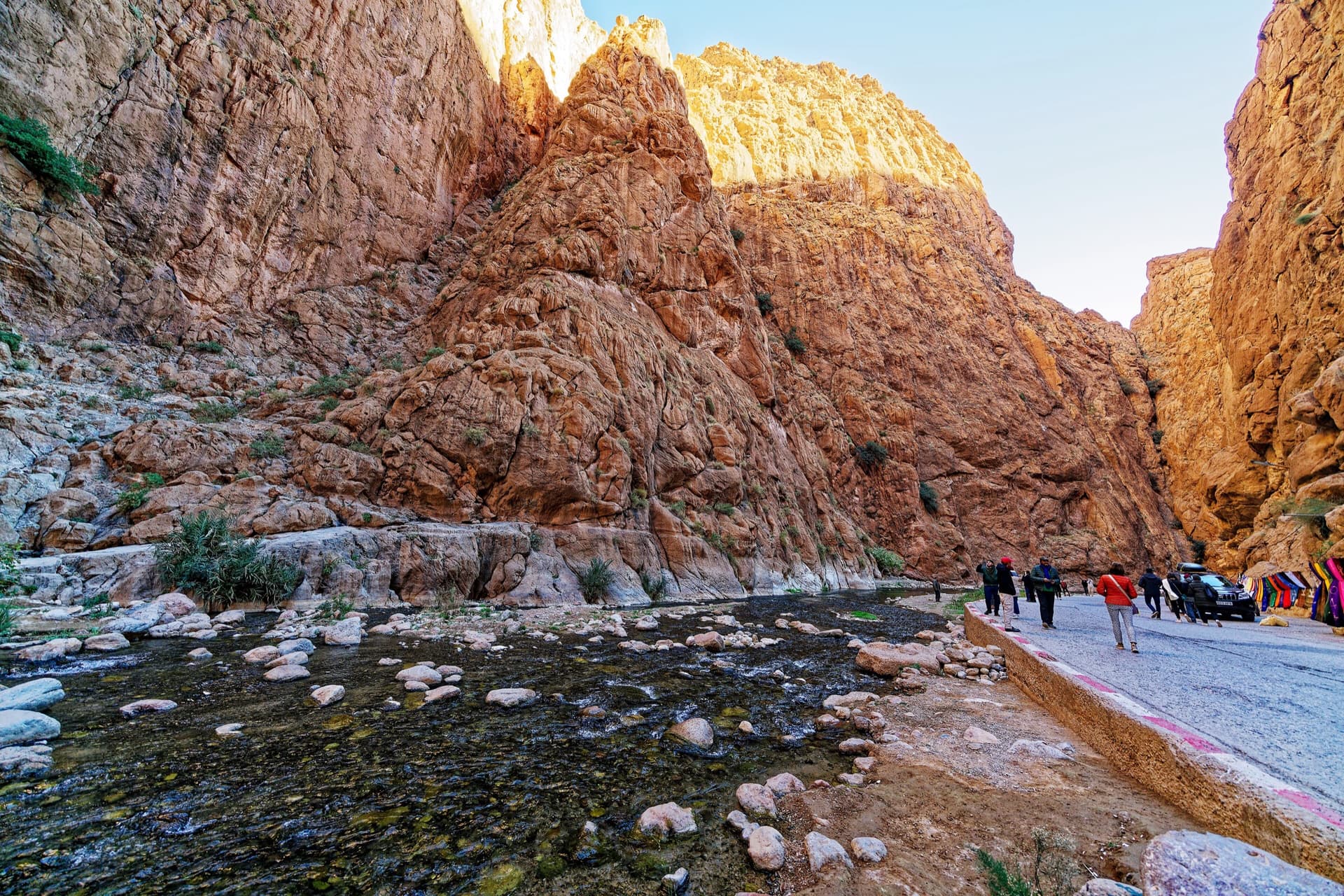
Inside the Todra narrows: the knobbly pointed buttress in the centre is the sector Les pieds dans l'eau, and the tall wall left of the gully beside it, in shade with a sunlit rim, is the Pilier du Couchant, which La Classique climbs.

Morocco · Todra Gorge (Todgha)

La Classique

The classic of the gorge, first climbed in 1977. Sustained and physical 6a climbing up cracks, corners and short bulges on the big pillar at the gorge entrance. The first pitch is the 6a+ crux, straight off the ground. Watch for loose blocks on the last pitch, shared with Chibania.

6a+9 pitches300 m

Read the cautions

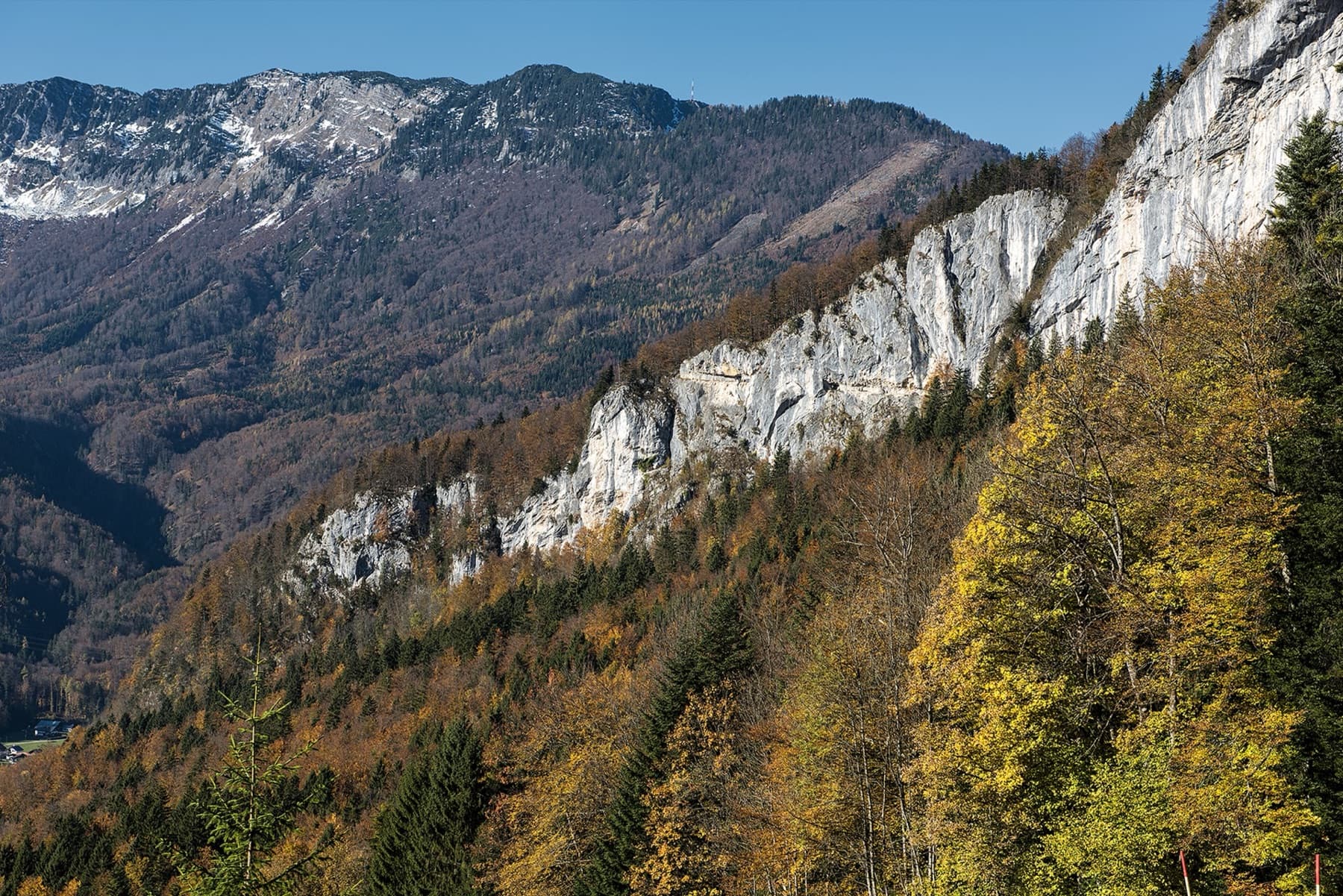
The Ewige Wand cliff band above Bad Goisern in autumn; the exact line is not marked.

Austria · Salzkammergut

Wöitroas

A modern (2016–19) plaisir route that mixes nice climbing with scrambly and wooded sections. One pitch is UIAA 6/6+ and one is 6; the rest is easier. Quick in and out.

6a+9 pitches270 m

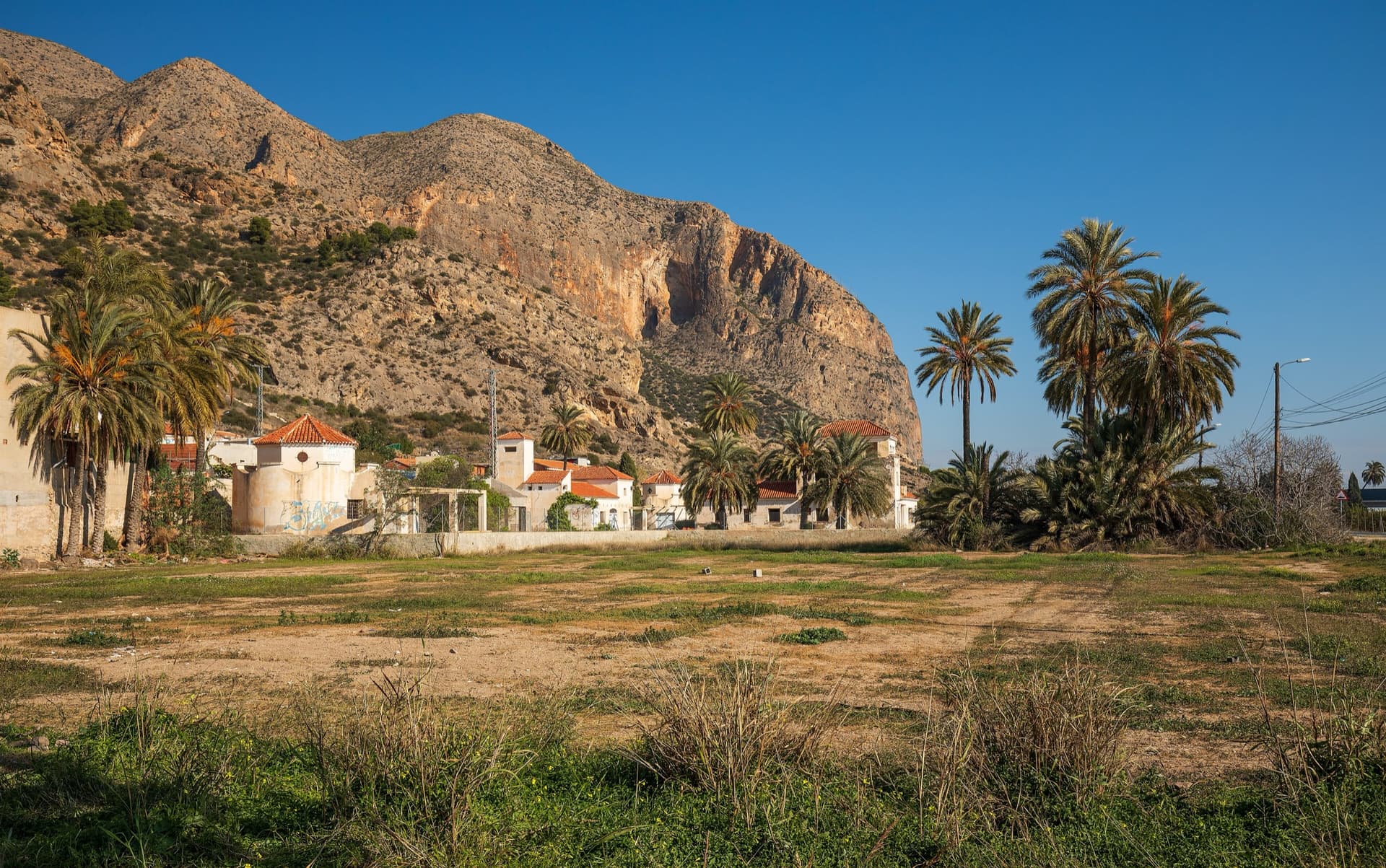
The big orange limestone wall of the Sierra de Callosa directly above Redován, seen from the edge of the village.

Spain · Vega Baja (Orihuela & Callosa)

Botri

The classic of Redován: ten pitches and 300 m of steady grade 5 with three steeper pitches on red rock. The eighth pitch, a traverse right into an overhanging corner above the orange cliffs, is the one people remember. Closed from January to June for nesting eagles.

6a+10 pitches300 m

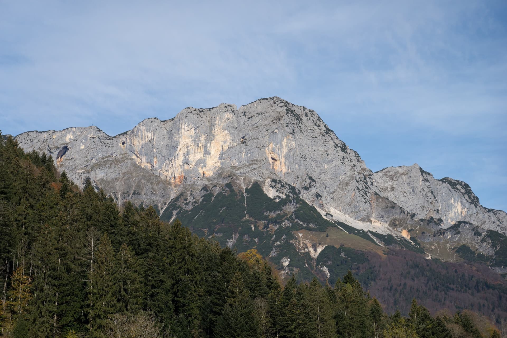
The Berchtesgadener Hochthron, highest point of the Untersberg, seen from Maria Gern: the south face in afternoon light, with the south-east walls on the right.

Germany · Berchtesgaden & Bad Reichenhall

Dahoam is Dahoam

A long-day alpine-flavoured plaisir route on the Untersberg's summit wall. Pitches range from UIAA 5+ to 6+ (≈5b–6b), with 5+ obligatory.

6a+10 pitches250 m

Compiled from published sources and last verified October 2026. Bolts, anchors and access change. Climbing is dangerous and you are responsible for your own decisions: check a current topo and read the disclaimer.