Multipitch Atlas

Dahoam is Dahoam

Berchtesgadener Hochthron (Untersberg) · Berchtesgaden & Bad Reichenhall · Germany

Bail not documentedBolting confidence: high

A long-day alpine-flavoured plaisir route on the Untersberg's summit wall. Pitches range from UIAA 5+ to 6+ (≈5b–6b), with 5+ obligatory.

The Berchtesgadener Hochthron, highest point of the Untersberg, seen from Maria Gern: the south face in afternoon light, with the south-east walls on the right.Photo: Jörg Braukmann · CC BY-SA 4.0

Photo

The Berchtesgadener Hochthron, highest point of the Untersberg, seen from Maria Gern: the south face in afternoon light, with the south-east walls on the right.Photo: Jörg Braukmann · CC BY-SA 4.0
Hardest pitch
6a+
Pitches
10
Length
250 m
Approach
120 min
Aspect
SE
South-east-facing
Rope
1×60 m

The route

Overview

Dahoam is Dahoam is a plaisir route on the sunny wall of the Berchtesgadener Hochthron (1972 m) on the Untersberg, starting from the Grubenpfad ledge at about 1700 m. It is about 250 m of wall and slab climbing over a series of short steep steps on very rough, solid, water-worn limestone, split into 9 or 10 short pitches. One pitch has a move of UIAA 6+ and one of 6, two are 6-, and the rest are around 5; the hard moves can be avoided or pulled through. Bolting is generous and red paint dots show the way. The climbing is not serious, but the day is: about 1000 m of ascent, an unmarked and partly exposed access ledge, and 7 h or more car to car.
In pictures

Photos

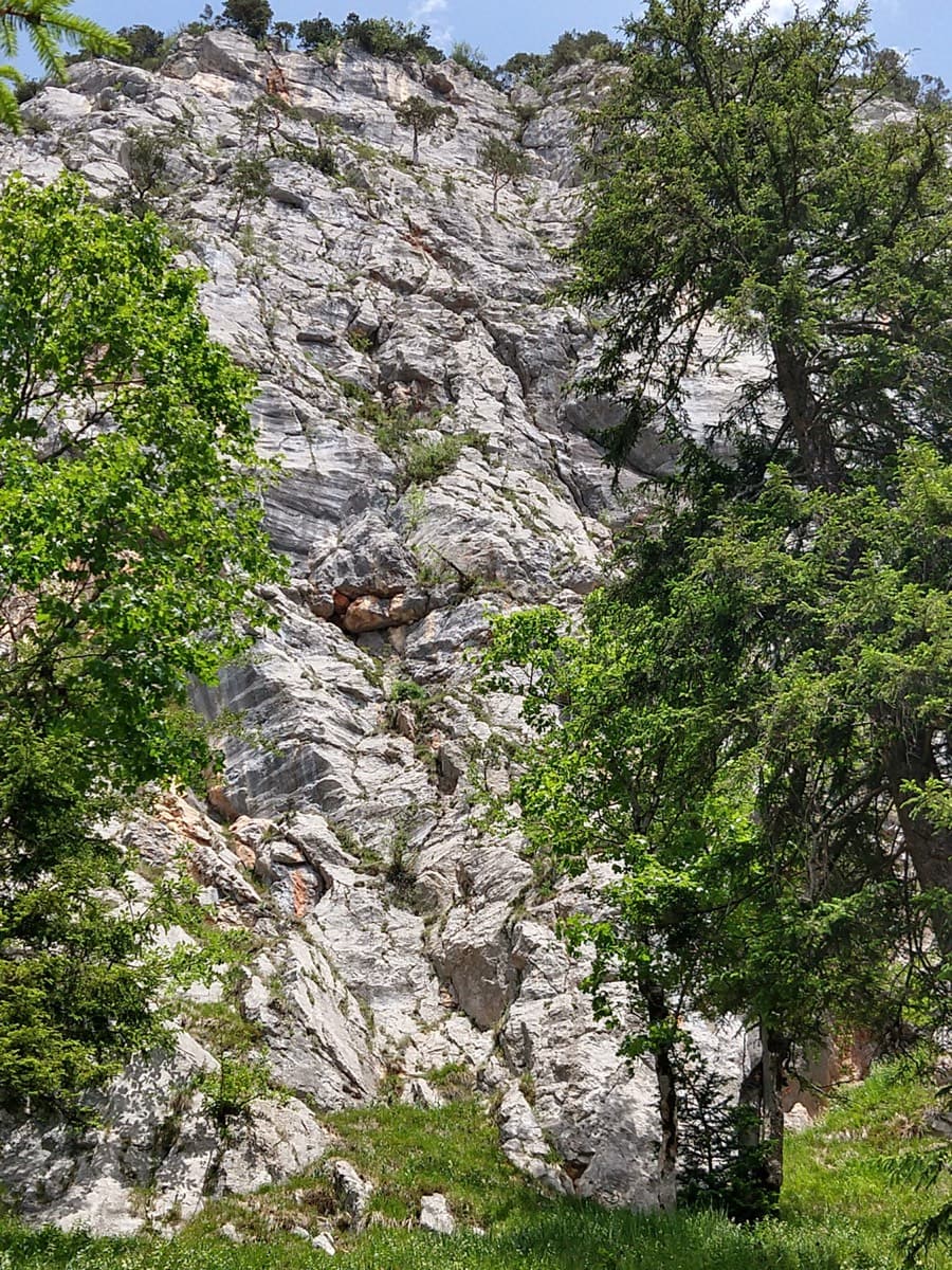
  • The wallThe eastern cliffs of the Untersberg above the meadows of Hinterettenberg, with the Berchtesgadener Hochthron at top left.Photo: Alupus · CC BY-SA 3.0

Approach photo

The climbing

Pitch by pitch

Pitches of Dahoam is Dahoam
PitchGradeNotes
P1–Entry wall, given UIAA 5/5+ in a 2011 report. In early season a high snowfield can force you to build the first belay higher.
P2––
P3––
P4–bergsteigen.com photo captions place the crux (UIAA 6/6+ move) on pitch 4. A water groove at the crux was wet in October 2011.
P5––
P6––
P7––
P8–A short overhang (bergsteigen.com photo caption).
P9––
P10––

Getting there

Approach

To the parking

Base is Marktschellenberg (480 m). From the A10 Salzburg-Süd exit or from Berchtesgaden drive to Marktschellenberg, then up to Ettenberg and on to the free walkers' car park at Hinterrossboden (about 770 m), roughly 750 m past the Roßboden farm, on the right after the meadow in the forest. Public transport only reaches Marktschellenberg, which lengthens the day considerably.

On foot · about 120 min

About 2 h, 1050 m of ascent. Follow path 466 from the car park to the Scheibenkaser (about 1 h 15). From there head towards the 'Berchtesgadener Hochthron Klettersteig'. At the foot of the wall, before the via ferrata's gearing-up cave, go right on path traces (a small sign for the Doriweg) up a steep grass slope to a grass and rock ridge. Follow the ridge up leftwards; an exposed section has a steel cable. Under the rocks follow clear traces right into a corner, which often holds snow in spring and autumn, and from the corner gain the first broad ledge of the Grubenpfad. The start is there, with a bolt and the route name painted in red, immediately after the small snowfield and about 50 m below a memorial plaque.

Finding the route · 2 photos

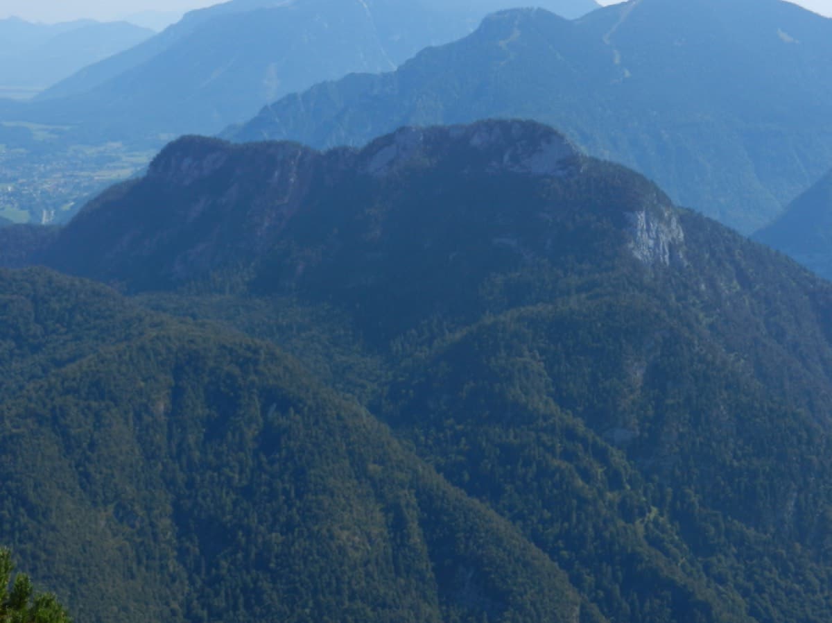
  • OverviewThe east side of the Untersberg seen from Hinterettenberg, on the drive to the car park: the Berchtesgadener Hochthron is the big wall at the top left.Photo: Alupus · CC BY-SA 3.0
  • Walk-inThe Scheibenkaser hut on its grassy shoulder, reached after about 1 h 15 on path 466; the route to the wall leaves from here.Photo: Franzi-45 · CC BY-SA 4.0

Approach photo

Map of the walk-in

  • Route base
  • Parking

Loading map

The point marks the base of the route.

Coordinates · route base

47.69589, 12.98928

Parking

47.68269, 13.01418

Parkplatz Hinterrossboden

Point from alpenvereinaktiv.com tour 19224261 ("Einstieg Dahoam is Dahoam")

For your phone or watch

Download GPX

Contains the route point and parking. Opens in most mapping apps and GPS watches.

Points are compiled from published sources, with the precision stated above. They were not surveyed on the ground: check them against a current topo.

Getting down

Descent

Three options. (a) Grubenpfad, about 50 min to the Scheibenkaser: from the exit go to the hiking path, follow it right (north, towards the Mittagsscharte) for 10-12 min to the start of the Grubenpfad (a lane through dwarf pine on the right) and follow the ledge back down past the start. It is unmarked, partly exposed and UIAA I-II. (a2) Quick descent by abseil: in a broad saddle, red dots lead to the first of two 26 m abseils. (b) Marked paths: from the exit go left up the hiking path to the summit and the Stöhrhaus, then down the Mittagsloch path (a steep, cable-secured path through a cave) and back to the Scheibenkaser. Overall descent to the car is about 2 h and 1250 m.

Retreat

Bailing off the route

Bail not documented

The sources do not say whether you can retreat. bergsteigen.com describes only the walk-off and summit descents from the top, and no free source gives per-pitch lengths, belay types or the line of the pitches. All that is known is that the route is generously bolted, the pitches are short, and you are told to bring slings for the belays.

Carry
Not known. bergsteigen.com lists a 60 m single rope and slings for the belays; if you want a margin, carry maillons and cord as well.
Basis
Inferred from the route factsbergsteigen.com states the gear list and three descents from the top but nothing about abseiling the route or the belay hardware, so there is not enough to judge.

Partly inferred from the route facts

Safety

Hazards

  • The Grubenpfad approach and descent is unmarked, partly exposed, UIAA I-II, and very delicate under snow. Old snowfields persist there well into the season.
  • The corner before the start often holds snow in spring and autumn; a high snowfield can bury the start.
  • The Mittagsloch descent is steep and needs constant concentration despite the cables.
  • Long day with about 1000 m of ascent and no water; an August 2015 party ran out of water.
  • A second fell on a traverse in 2015 without injury; protect traverses for the second.

Sun and weather

Conditions

bergsteigen.com gives the aspect as south-east; other reports call it the south or east wall. Sun reports differ: a late-June 2014 party only got sun shortly after midday, while an August 2015 party found it punishingly hot from before 9:00 and recommends a very early start in hot weather. Snow lies long on the Grubenpfad, so do not go too early in the year; snowfields were also present in October 2011. The rock is so rough that a few wet patches hardly matter, but the approach ledge and the Mittagsloch descent are slippery when damp. Carry plenty of water; there is none on the route.

Usual season · Jun to Oct

Sun on the wall · SE-facing

Working out the sunlit hours for this month.

  • January: not yet worked out
  • February: not yet worked out
  • March: not yet worked out
  • April: not yet worked out
  • May: not yet worked out
  • June (usual season): not yet worked out
  • July (usual season): not yet worked out
  • August (usual season): not yet worked out
  • September (usual season): not yet worked out
  • October (usual season): not yet worked out
  • November: not yet worked out
  • December: not yet worked out

Sun on the wallDaylight, wall in shade● Usual season

Estimated from the wall's aspect only. Ignores surrounding terrain, gullies and the wall's exact shape. Clock times are local to the wall (Central European time), for the 15th of each month.

Monthly climate averages for Berchtesgaden & Bad Reichenhall, 1991-2020
MeasureJanFebMarAprMayJun (usual season)Jul (usual season)Aug (usual season)Sep (usual season)Oct (usual season)NovDec
Mean daily high °C−10371216181814104−1
Mean daily low °C−10−9−6−3268851−5−9
Rain days 1 mm or more141417162020211916141315

● marks the usual climbing season. Averages for 1991-2020 at about 1337 m. Area climate from Open-Meteo reanalysis. Temperatures are adjusted to the height of the crag; rain comes from a grid cell of about 10 to 25 km, and summer highs on sea cliffs can read a few degrees low. The wall and valley can differ. Data: Open-Meteo, CC BY 4.0.

What to carry

Gear

Single 60 m rope (bergsteigen.com; the DAV Teisendorf description lists 50 m, but the 2×26 m abseil option needs 60 m). 10 quickdraws. Slings for the belays. Helmet. No nuts or cams: a 2014 and a 2015 party both left them behind and did not miss them.

Checklist

Quickdraws
10
Rope
1×60 m
Helmet
One each
Abseil device and prusik
The descent or the retreat involves abseiling
Slings
Mentioned for retreat
Maillons or spare karabiners
To leave behind if you retreat
Cord
Mentioned for retreat

Derived from the route data; check it against a current topo

From climbers

Reader reports

Reader reports are not being collected yet. Until they are, check a current topo and the local club or guidebook publisher for recent changes to Dahoam is Dahoam.

Worth knowing

Tips

  • Combine with the Doriweg or the Direkte Gamsalmplatte below: both finish on the Grubenpfad, from where you descend about 10 min to the start of Dahoam is Dahoam.
  • Pitches are short and can be linked.
  • If you avoid climbing the hardest moves direct, the route is well below 6+.
  • The Stöhrhaus near the summit serves food and drink.
  • A faster, direct approach from Roßboden via Hochkampschneid and Grubenalm into the cirque exists, but it is easy to miss; one experienced party lost the start and ended up on pathless terrain.

Open questions

Where sources disagree

  • Pitch count: a 2011 report quoting the first ascensionists gives 9 pitches and 235 m; the DAV Teisendorf description and 2013 and 2015 trip reports give 10; bergsteigen.com photo captions go up to at least pitch 8. This entry lists 10.
  • Per-pitch grades and lengths are not published in any free source; only the distribution is known (one pitch 6+, one 6, two 6-, the rest about 5).
  • Length: 250 m (bergsteigen.com), 255 m (DAV), 235 m (2011 report).
  • Rope: 60 m single (bergsteigen.com) vs 50 m single (DAV).
  • Aspect: south-east (bergsteigen.com), 'east wall' (DAV), 'south wall' (olli.ch).
  • Max grade: UIAA 6+ converts to about 6a/6a+; one trip report calls it 6a. This entry uses 6a+; 6b would be too high.
  • bergsteigen.com's information date is shown as 2009, before the 2011 first ascent, so that field is unreliable.

Provenance

Sources

Same area

More in Berchtesgaden & Bad Reichenhall

All routes in Berchtesgaden & Bad Reichenhall
The Rabensteinhorn wall climbed by Die Schönheitskönigin von Schneizlreuth, seen from its foot

Germany · Berchtesgaden & Bad Reichenhall

Die Schönheitskönigin von Schneizlreuth

Six pitches on excellent grippy limestone with views to the Watzmann, established 2012. Pitch grades are converted from the UIAA topo (6-, 6, 6, 5+, 5+, 6); 5 is obligatory.

6a6 pitches165 m

The Rabensteinhorn seen from the Ristfeuchthorn to the west

Germany · Berchtesgaden & Bad Reichenhall

Schmetterlings Kant'n

A steep, athletic line up the pillar right of the Schönheitskönigin von Schneizlreuth, reached by one pitch of that route and one of Alpinmodel. Four independent pitches of UIAA 6 to 7+ on very good rock, then the last pitches of the Schönheitskönigin.

6c7 pitches170 m

Read the cautions

Around 6a+ · about 10 pitches

Similar elsewhere

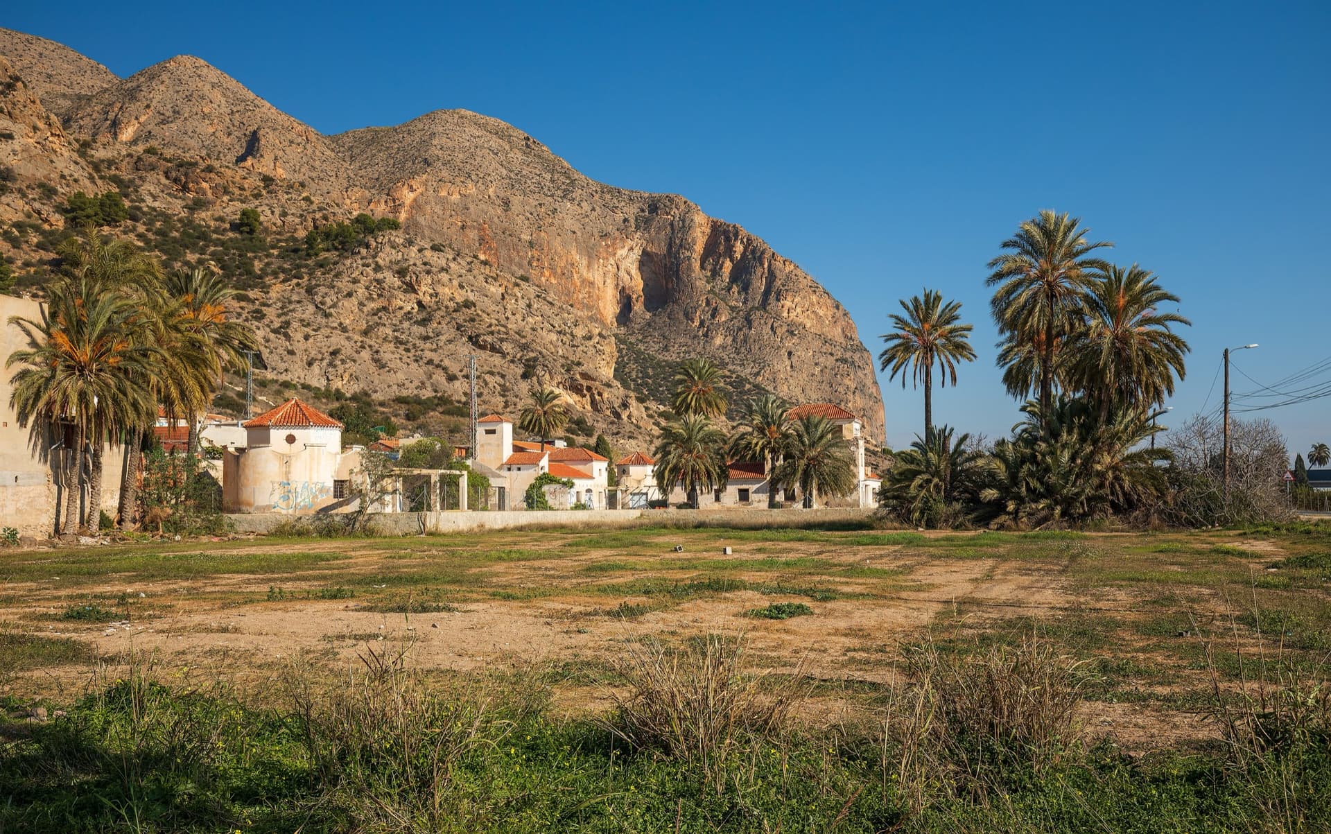
The big orange limestone wall of the Sierra de Callosa directly above Redován, seen from the edge of the village.

Spain · Vega Baja (Orihuela & Callosa)

Botri

The classic of Redován: ten pitches and 300 m of steady grade 5 with three steeper pitches on red rock. The eighth pitch, a traverse right into an overhanging corner above the orange cliffs, is the one people remember. Closed from January to June for nesting eagles.

6a+10 pitches300 m

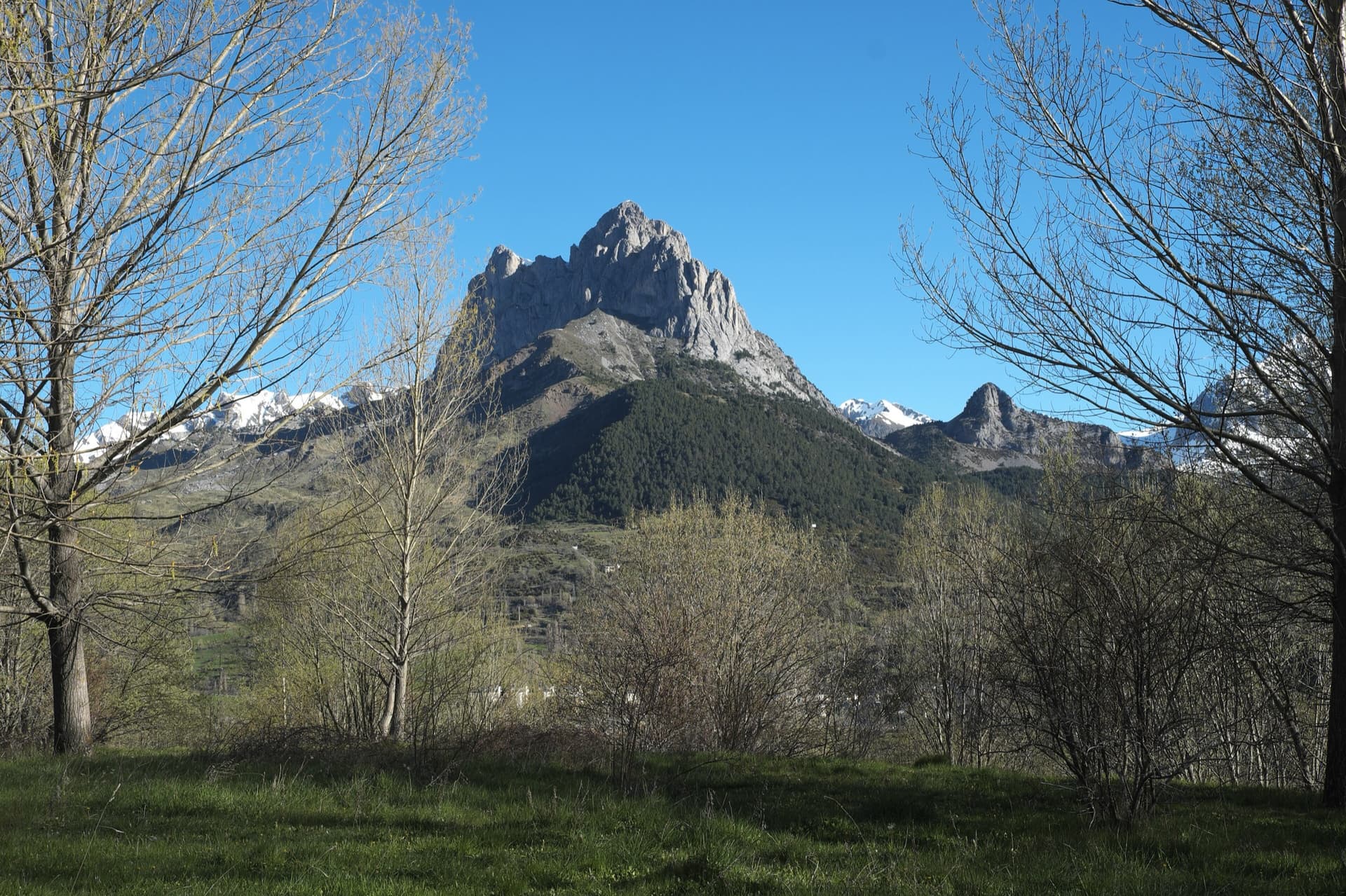
The twin limestone summits of Peña Foratata above the forest, seen from Sallent de Gállego in spring.

Spain · Aragonese Pyrenees (Tena & Canfranc valleys)

La Joya del Gállego

Varied, sustained limestone of chimneys, dihedrals and compact fluted slabs high above the Tena valley. Bearded-vulture nesting closes the face from 1 Dec to 31 Jul unless lifted early, so check montanaregulada.org.

6a+10 pitches265 m

Read the cautions

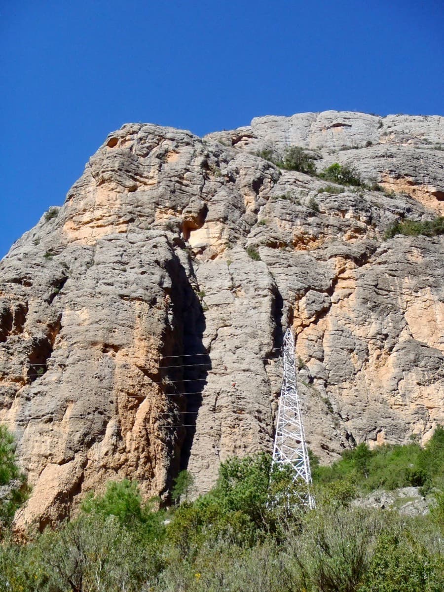
Paret del Pessó, Collegats: Tanger starts between the shaded corner and the pylon

Spain · Collegats

Tanger

A consistent, well-bolted line starting with a crack under the big pylon. Ten pitches of 5b–6a+ are split by a 100 m scramble through a vegetated 'garden' before the final tier.

6a+10 pitches300 m

Read the cautions

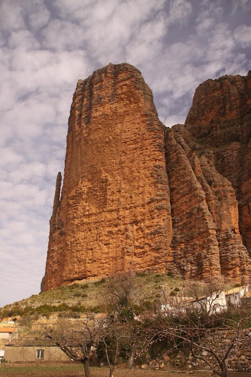
Mallo Pisón above the village of Riglos, with El Puro on its left

Spain · Riglos & Agüero (Mallos)

Ursi

A way up the Pisón at 6a+ if you accept two pitches of pulling on bolts at the start. The seventh pitch is a contender for the best corner at Riglos. Take care with the rock on pitches 3 and 4.

6a+10 pitches270 m

Read the cautions

Compiled from published sources and last verified October 2026. Bolts, anchors and access change. Climbing is dangerous and you are responsible for your own decisions: check a current topo and read the disclaimer.