.jpg)
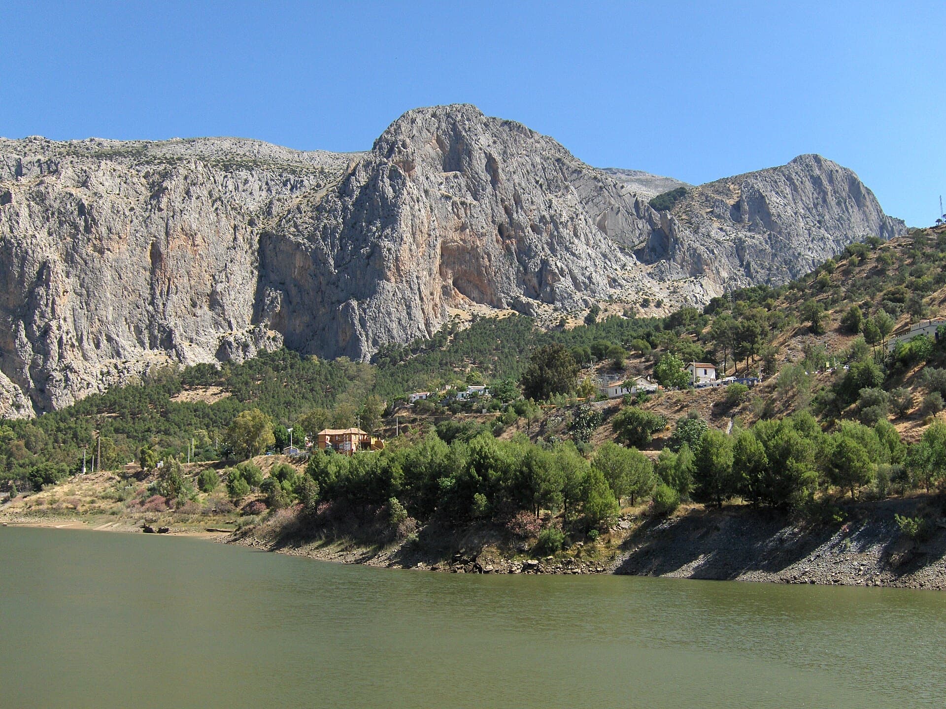
Spain · El Chorro
Estrella Polar
Ten varied pitches on good rock in a superb position: a roof, slabs, a tenuous traverse by a cave and a steep corner. Several pitches feel stiff for the grade, especially the P2 crux.
6b10 pitches279 m
Mangart – west face · Mangart (Julian Alps) · Slovenia
Read the cautionsBail with caveatsBolting confidence: high
A long bolted climb up the west face of Mangart, starting at about 2,180 m and finishing near 2,580 m. Two 60 m pitches of 6a open the route and the first half is the best; a 6b corner that can be aided is the crux. An alpine outing with a tricky approach in cloud and rock that is not always perfect.
Well bolted, but an alpine route with 60 m pitches, chainless belays, some poor rock and an unmarked approach.
The route
Briljantina gives about 350 to 400 m of bolted climbing on the west face of Mangart, reached from the highest road in Slovenia. Most pitches are 6a or 6a+, with one 6b corner that the camptocamp author says is easily aided, bringing the obligatory grade to about 6a. The guidebook grades are fair or even soft. The first half is the highlight. Treat it as an alpine route all the same: the pitches are up to 60 m, the belays have no chains, the rock needs care in places and the approach has no cairns.
In pictures
The climbing
| Pitch | Grade | Length | Notes |
|---|---|---|---|
| P1 | 6a | 60 m | A full 60 m pitch. |
| P2 | 6a | 60 m | Another 60 m pitch. One hanger was missing here in 2022 and had been replaced by August 2024. |
| P3 | 6a+ | 40 m | No description published. |
| P4 | 6a | 30 m | No description published. |
| P5 | 5b | 20 m | Short pitch; can be linked with the next. |
| P6 | 1 | 10 m | An easy traverse, possibly with one bolt. Do not start the next pitch by going straight up from the pitch 5 anchor. |
| P7 | 6b | 50 m | The crux, in a corner. Graded 5c/6b: it can easily be aided. One hanger was missing here in 2022 and had been replaced by August 2024. |
| P8 | 6a+ | 30 m | Mostly a traverse to the right at the start. |
| P9 | 1 | 10 m | Easy ground to an anchor round the obvious pillar, possibly without bolts. It can be linked with pitch 8, but watch for rope drag. |
| P10 | 5c | 40 m | The last pitch to the grassy ledges. |
Getting there
Drive the Mangart road to the parking just below the Mangart saddle (Mangartsko sedlo, about 1,900 m); after rockfall you cannot drive further. There is a 10 euro toll and you can stay as long as you like. If the upper parking is full, a second one just before the tunnel adds a couple of minutes. A summer bus from Bovec to the saddle is advertised on a timetable photographed at the parking.
About 1 hour in clear weather. From the parking walk along the road or the marked trails towards Mangart. At some point you must leave them and traverse to the foot of the wall: there are no cairns or signs. It is probably best to start traversing before the first smaller rock face; if you reach the via ferrata sections you have gone too far. In cloud this is hard: the September 2025 party took 2.5 hours.
Loading map
The point marks the crag, not the exact start of the route.
Parking
Parking below Mangartsko sedlo (camptocamp waypoint 1266555)
Point from camptocamp waypoint 38823
Contains the route point and parking. Opens in most mapping apps and GPS watches.
Points are compiled from published sources, with the precision stated above. They were not surveyed on the ground: check them against a current topo.
Coordinates: 46.43946, 13.65465 (crag) · Parking: 46.43416, 13.63936
Getting down
From the top keep scrambling up the grassy ledges to the obvious trails; the guidebook says to cross right, but going straight up was easy. Follow the trails to the marked path (via ferrata) and take it either down to the saddle or up to the summit of Mangart first. The route page allows 1 hour; the 2025 party took 1.5 hours.
Retreat
Bail with caveats
You can abseil off, but the belays are plain bolt hangers without chains, so you leave karabiners at each one. The first two pitches are 60 m long, which a single 60 m rope cannot abseil in one go.
Partly inferred from the route facts
Safety
Sun and weather
North-west and west facing, at 2,180 to 2,580 m. The only dated report is from 15 September 2025, in cloud; the July to September season given here is inferred from the altitude and the seasonal toll road, not stated by a source. Cloud makes the approach much harder. Rock quality is mostly fine but not always the best.
Sun on the wall · NW-facing
Working out the sunlit hours for this month.
Sun on the wallDaylight, wall in shade● Usual season
Estimated from the wall's aspect only. Ignores surrounding terrain, gullies and the wall's exact shape. Clock times are local to the wall (Central European time), for the 15th of each month.
Climate figures for Mangart (Julian Alps) are not available yet
What to carry
15 quickdraws and normal multi-pitch kit (camptocamp). A rope of at least 60 m is needed, otherwise you have to move together on the first two pitches. Carry a few spare karabiners or maillons: the anchors are plain hangers without chains, so a retreat means leaving gear. Helmet.
Derived from the route data; check it against a current topo
From climbers
Reader reports are not being collected yet. Until they are, check a current topo and the local club or guidebook publisher for recent changes to Briljantina.
Worth knowing
Open questions
Provenance
Around 6b · about 10 pitches
Spain · El Chorro
Ten varied pitches on good rock in a superb position: a roof, slabs, a tenuous traverse by a cave and a steep corner. Several pitches feel stiff for the grade, especially the P2 crux.
6b10 pitches279 m
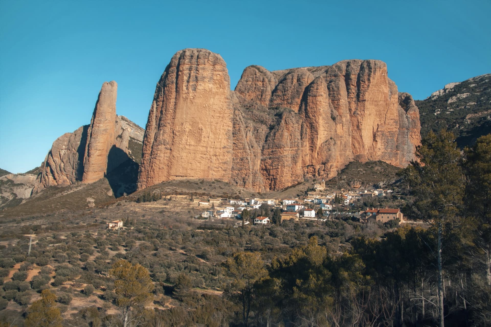
Spain · Riglos & Agüero (Mallos)
The way up the detached cigar that is the symbol of Riglos, first climbed in 1953. A polished corner, then the chimney between the Puro and the Pisón, then three short pitches on the outside of the needle to a tiny summit. Very polished in the chimney and on the boulder moves. In shade most of the day.
6b10 pitches180 m
Read the cautions
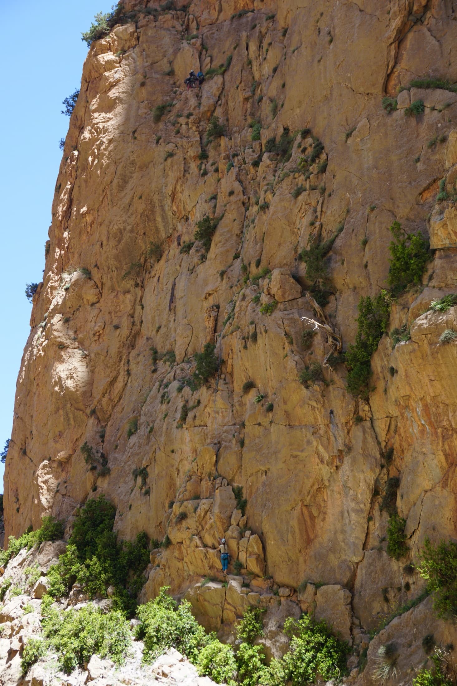
Morocco · Taghia
Ten pitches of even 6b and 6b+ on compact rock ten minutes from the gîtes, mostly technical slab and wall climbing on your feet, with a 50 m sixth pitch on vertical edges that everyone singles out. It is among the most accessible long routes at Taghia, in the shade for most of the day, and a little polished low down.
6b+10 pitches330 m
Read the cautions
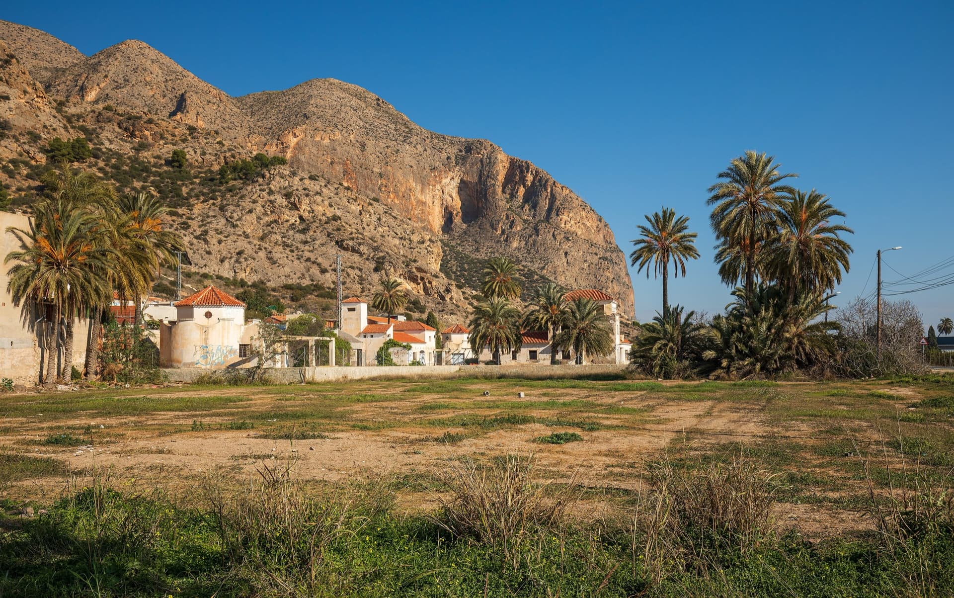
Spain · Vega Baja (Orihuela & Callosa)
The classic of Redován: ten pitches and 300 m of steady grade 5 with three steeper pitches on red rock. The eighth pitch, a traverse right into an overhanging corner above the orange cliffs, is the one people remember. Closed from January to June for nesting eagles.
6a+10 pitches300 m
Compiled from published sources and last verified October 2026. Bolts, anchors and access change. Climbing is dangerous and you are responsible for your own decisions: check a current topo and read the disclaimer.