Multipitch Atlas

Strauchdieb

Röthelstein – Breite Wand · Grazer Bergland · Austria

Bail with caveatsBolting confidence: high

A new (2025) nine-pitch outing on the right edge of the Breite Wand that weaves between the bushes. Three spots of UIAA 5-/5, otherwise easier. Still a little earthy in places.

The Röthelstein near MixnitzPhoto: Clemens Stockner · CC BY-SA 4.0

Photo

The Röthelstein near MixnitzPhoto: Clemens Stockner · CC BY-SA 4.0
Hardest pitch
5a
Pitches
9
Length
260 m
Approach
45 min
Aspect
S
South-facing
Rope
1×50 m
walk-off

The route

Overview

Strauchdieb is a varied, easy route at the far right of the Breite Wand on the Röthelstein, opened in January 2025 by Anita and Rüdiger Hohensinner. It threads its way between the bushes for nine pitches. The grade is UIAA 5 (about 5a) with 4+ obligatory: three spots of 5-/5, the rest easier. The route is very well bolted; some sections are still a bit earthy.

The climbing

Pitch by pitch

Pitches of Strauchdieb
PitchGradeNotes
P1–Not described beyond a photo.
P2–Not described.
P3–One of the cruxes (5-/5).
P4–A steep pillar.
P5–Passes round a block.
P6–Another crux section.
P7–Not described.
P8–Not described.
P9–Runs partly through woodland to the last belay. It can be skipped by traversing off right before it.

Getting there

Approach

To the parking

From the S35 (Graz to Bruck) leave at Frohnleiten, take the main road towards Tyrnau, turn left beyond Tyrnau and drive up to the Rote Wand car park at 870 m. The route can also be reached from Mixnitz (car park "Drachenhöhle") in 1 to 1.5 h.

On foot · about 45 min

About 45 min from the Rote Wand car park. From its far end take a small path (barrier), descending at first, past a clearing with a small hut to a wide forest road below a hunting lodge. Follow it uphill for a few minutes to the edge of the wood, go left into the forest onto a knoll with a three-way junction at a gate. Take the descending path (waymarked for Mixnitz) to another forest road and follow it uphill (right) until it levels out. Continue until a small cairn on the left, below a scree fan lying above the road, which is easy to miss in high grass. Go up right here and, straight after the scree, right to the start at about 1000 m.

Finding the route · 1 photo

  • OverviewRöthelstein (the lower rocky peak on the left) and the Rote Wand (right) seen from the south-east, the side of the Rote Wand car park. Strauchdieb is on the Röthelstein.Photo: Clemens Stockner · CC BY-SA 4.0

Approach photo

Map of the walk-in

  • Route base
  • Parking

Loading map

The point marks the base of the route.

Coordinates · route base

47.32312, 15.38553

Parking

47.32050, 15.40910

Rote Wand car park above Tyrnau

Point from bergsteigen.com touren/klettern/strauchdieb-roethelstein-breite-wand

For your phone or watch

Download GPX

Contains the route point and parking. Opens in most mapping apps and GPS watches.

Points are compiled from published sources, with the precision stated above. They were not surveyed on the ground: check them against a current topo.

Getting down

Descent

From the last belay go about 25 m horizontally right to a large beech where you meet the Kellersteig, and descend it. Alternatively, before the last pitch, traverse 60 m horizontally right to the Kalter Keller. About 45 min back to the car.

Retreat

Bailing off the route

Bail with caveats

The source gives one escape: before the last pitch you can traverse 60 m horizontally right to the Kalter Keller and walk down. Abseiling the route is not described and the belay rigging is not stated.

Retreat from
On foot from the belay below the last pitch. Lower down, only by abseil from bolted belays, which is not documented.
Point of no return
Not documented.
Carry
Maillons and cord if you have to abseil; pitches average under 30 m, so a 50 m rope should reach, but this is inferred.
Basis
Part stated, part inferredThe traverse-off is stated by bergsteigen.com; abseil retreat is inferred from pitch lengths.

Partly inferred from the route facts

Safety

Hazards

  • Some sections are still earthy.
  • The cairn marking the turn-off from the forest road is easy to miss in high grass.

Sun and weather

Conditions

South facing, base about 1000 m. Season March to June and September to November; too hot in high summer. New route, so expect some earth on the holds until it has seen more traffic.

Usual season · Mar to Jun, Sep to Nov

Sun on the wall · S-facing

Working out the sunlit hours for this month.

  • January: not yet worked out
  • February: not yet worked out
  • March (usual season): not yet worked out
  • April (usual season): not yet worked out
  • May (usual season): not yet worked out
  • June (usual season): not yet worked out
  • July: not yet worked out
  • August: not yet worked out
  • September (usual season): not yet worked out
  • October (usual season): not yet worked out
  • November (usual season): not yet worked out
  • December: not yet worked out

Sun on the wallDaylight, wall in shade● Usual season

Estimated from the wall's aspect only. Ignores surrounding terrain, gullies and the wall's exact shape. Clock times are local to the wall (Central European time), for the 15th of each month.

Climate figures for Grazer Bergland are not available yet

What to carry

Gear

10 quickdraws, slings and a helmet; a 50 m single rope. bergsteigen.com states that nuts are not required.

Checklist

Quickdraws
10
Rope
1×50 m (walk-off)
Helmet
One each
Maillons or spare karabiners
To leave behind if you retreat
Cord
Mentioned for retreat

Derived from the route data; check it against a current topo

From climbers

Reader reports

Reader reports are not being collected yet. Until they are, check a current topo and the local club or guidebook publisher for recent changes to Strauchdieb.

Worth knowing

Tips

  • Allow about 3 h on the route and 4.5 h in all.
  • There is a sunny spot to the right of the first belay for a break after the route, according to a photo note.

Open questions

Where sources disagree

  • Single source: a web search found no independent report yet.
  • The pitch count (9) comes from the photo captions, which run to a ninth pitch. The bergsteigen.com topo is behind a login, so per-pitch grades and bolt counts are not published openly.

Provenance

Sources

Around 5a · about 9 pitches

Similar elsewhere

The Schneekar and the north side of the Treffauer, where the route climbs the lower rocks beside the normal route

Austria · Wilder Kaiser

König der Löwen

Nine pitches of easy slabs and water runnels beside the Treffauer normal route, UIAA 5 at most if you take the easy variant on pitch 4. Lots of bolts and friendly ground make it one of the most popular routes in the Schneekar. The rock is not solid everywhere and the walk-in is two hours.

5a9 pitches280 m
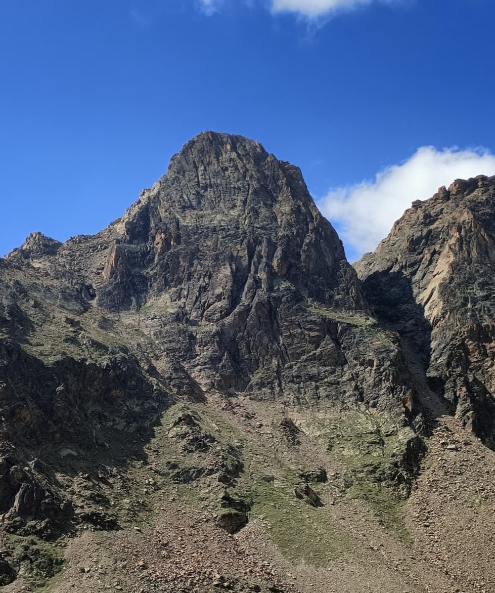
The Jegihorn south face from the approach; Panorama is the right-hand route on the face

Switzerland · Saas Valley

Panorama

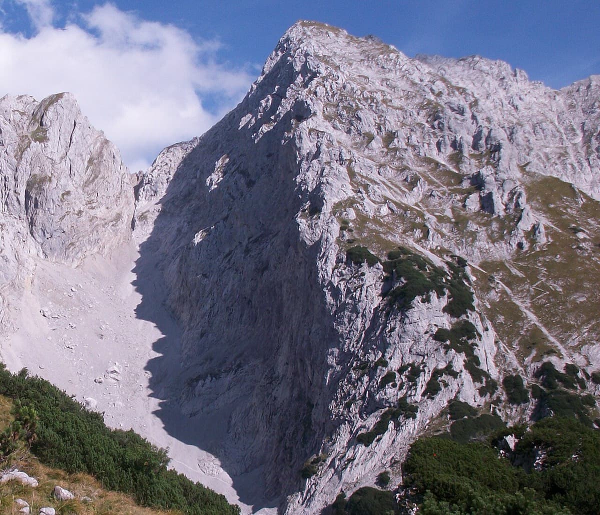
The right-hand of the Jegihorn's three easy bolted routes and the quietest. Ten long pitches up low-angled slabs and then a steeper, airy central section on sharp flakes and edges, finishing along a short crest to the 3206 m summit. Bolts are further apart than on Alpendurst and the belays are unlinked, so it suits a leader who is steady at 4c.

5a10 pitches360 m

Read the cautionsCommitting

No photo yet

Switzerland · Wiwanni (Baltschiedertal)

Salamander

Eight short pitches of 4b to 5a on compact, grippy gneiss slabs above the Wiwannihütte, finishing on a 2880 m summit. Pitches 3 and 4 climb a big steep slab that is the heart of the route. Chained belays and an abseil descent make it the gentlest introduction to the Wiwanni routes, though the starting pitches feel stiff for 4b.

5a8 pitches180 m

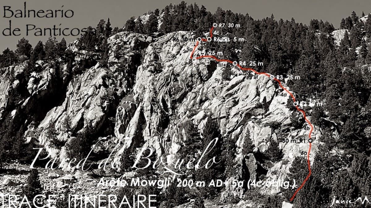
Line of the Arista Mowgli on the Pared de Bozuelo above Baños de Panticosa, with belays marked

Spain · Aragonese Pyrenees (Tena & Canfranc valleys)

Arista Mowgli

An easy granite ridge above the Bozuelo meadows, low-angled and never exposed. Two smooth friction slabs at 5a, on pitches 1 and 6, are the only real difficulties; the rest is steps and short walls at grade 3 to 4. Ideal for a first multipitch, and you can step off rightwards onto ledges almost anywhere.

5a7 pitches200 m

Compiled from published sources and last verified October 2026. Bolts, anchors and access change. Climbing is dangerous and you are responsible for your own decisions: check a current topo and read the disclaimer.