Multipitch Atlas

Sonntagsspaziergang

Noafer Bichl (Glaning, Bolzano) · Bolzano & South Tyrol · Italy

Read the cautionsBail not documentedBolting confidence: medium

The easy classic of the Noafer Bichl: slabs, a neat corner and two pitches up a pocketed pillar edge, with Bolzano below and the Dolomites on the horizon. Grade 4 climbing throughout, but with some long gaps between bolts on the easy ground.

Hardest pitch
4c
Pitches
7
Length
280 m
Approach
30 min
Aspect
SE
South-east-facing
Rope
1×60 m
walk-off
Read before you go

Bolted with linked belays, but the easy ground has wide bolt spacing, so it is not a route for a first-time leader despite the grade.

The route

Overview

The right-hand bolted route on the porphyry wall below the Gasthof Noafer in Glaning, above Bolzano. Seven pitches of slab, corner and pillar climbing at 4a to 4c, separated by two easy linking pitches, lead to the cliff top a few minutes from the inn. Camptocamp calls it the local classic for its access and friendliness. It is not a pure clip-up: both sources say the bolts are spaced on the easy sections. The landowners at the Noafer allowed the routes to be equipped and ask for considerate parking.

The climbing

Pitch by pitch

Pitches of Sonntagsspaziergang
PitchGradeBoltsNotes
P14c–Climb up left to the tree, traverse right under the steep rock and go up the slab.
P23–Easy ground. The line was changed here: the left-hand way is about grade 3, a right-hand variation is UIAA 6- (about 5c).
P34b5 boltsEasy at first, then a good steep corner.
P42–An easy link, straight up then left, following a fixed rope.
P54a–The crest of the pillar on pocketed rock. The belay at the end is hidden in a hollow and you see it late.
P64b–Continue up the pillar; the best pitch.
P74b–Straight up stepped slabs, then right over a step below a steep wall: at the third bolt move right, and the fourth bolt appears a long way above. A few steep moves before the top.

Getting there

Approach

To the parking

From Bolzano drive towards Jenesien (San Genesio) and follow signs to Glaning; after about 3.5 km signs lead to the Gasthaus Noafer (775 m). Do not park directly in front of the inn, which needs the spaces for guests: park lower down by the pasture or above on the access road. Sleeping in vehicles or camping at the car park is forbidden. You can also walk up from Bolzano (Moritzing) on path 11B.

On foot · about 30 min

About 30 min, downhill. From the Gasthaus Noafer follow path 11B down, staying on the forest road with concreted wheel tracks. At about 590 m, where trees arch over the track, there is usually a cairn on the right. A steep path starts there and leads straight to the foot of the rock. The start is at a tree with a sling (camptocamp: a rope about 5 m up) below a ramp.

Finding the route · 1 photo

  • ParkingThe Gasthaus Noafer in Glaning, where path 11B starts down to the crag. Do not park in front of the inn: use the spaces lower down by the pasture or above on the access road.Photo: Bartleby08 · CC BY-SA 4.0

Approach photo

Map of the walk-in

  • Route base
  • Parking
  • GPS line

Loading map

The point marks the base of the route.

GPS line: a line of the whole day, including the climb and the descent drawn by its source, not a recorded track. Line drawn on the camptocamp route page, not a GPS recording: from the parking near the Gasthaus Noafer down the forest road to the foot of the rock, up the line of the climb and back to the parking. Do not follow it blindly.

GPS line: camptocamp.org contributors · CC BY-SA 3.0

Coordinates · route base

46.50805, 11.30298

Parking

46.51193, 11.30025

Parking marked on bergsteigen.com

Point from bergsteigen.com touren/klettern/sonntagsspaziergang-glaning-bei-bozen

For your phone or watch

Download GPX

Contains the route point, parking and a GPS line. Opens in most mapping apps and GPS watches.

Points are compiled from published sources, with the precision stated above. They were not surveyed on the ground: check them against a current topo.

Getting down

Descent

On foot, about 15 min. From the top at the 'Herzl' (an old steel heart beside a ruined hut) walk gently uphill above the cliff edge on path traces towards the Gasthof Noafer. At the end descend through the woods to the fence, drop to the approach track and follow it a few steps back to the inn. Camptocamp describes the same exit as going up a little and taking the signed path to the right.

Retreat

Bailing off the route

Bail not documented

Retreat is not documented. All belays are on two linked bolts, which makes abseiling plausible, but no source describes it and the route includes a traverse on pitch 1 and a walking link on pitch 4. The top is close to the inn, so most parties simply finish.

Retreat from
Not known; linked two-bolt belays throughout (camptocamp).
Point of no return
Not documented. After the pitch 4 link the remaining three pitches are 4a to 4b and lead straight to the exit.
Carry
A single 60 m rope gives 30 m abseils; pitch lengths are not published, so check before committing. Carry a maillon or two.
Basis
Inferred from the route factsBelay type is stated by camptocamp; abseiling is not mentioned by any source.

Partly inferred from the route facts

Safety

Hazards

  • Long distances between bolts on some easy passages; a fall there would be serious. The leader should be solid at the grade.
  • The belay after pitch 5 is hidden in a hollow and the fourth bolt of the last pitch is far above the third.
  • Do not camp or sleep in a vehicle at the Noafer car park.

Sun and weather

Conditions

South-east to south facing between about 590 and 820 m. Very hot in summer unless there is wind; bergsteigen.com shows it as climbable nearly all year. A party in August 2024 found very good rock and was glad of a breeze. Bergsteigen.com gives 2 h 30 min for the climb.

Usual season · Mar to Jun, Sep to Nov

Sun on the wall · SE-facing

Working out the sunlit hours for this month.

  • January: not yet worked out
  • February: not yet worked out
  • March (usual season): not yet worked out
  • April (usual season): not yet worked out
  • May (usual season): not yet worked out
  • June (usual season): not yet worked out
  • July: not yet worked out
  • August: not yet worked out
  • September (usual season): not yet worked out
  • October (usual season): not yet worked out
  • November (usual season): not yet worked out
  • December: not yet worked out

Sun on the wallDaylight, wall in shade● Usual season

Estimated from the wall's aspect only. Ignores surrounding terrain, gullies and the wall's exact shape. Clock times are local to the wall (Central European time), for the 15th of each month.

Monthly climate averages for Bolzano & South Tyrol, 1991-2020
MeasureJanFebMar (usual season)Apr (usual season)May (usual season)Jun (usual season)JulAugSep (usual season)Oct (usual season)Nov (usual season)Dec
Mean daily high °C571115192325252116106
Mean daily low °C−5−325101315151172−3
Rain days 1 mm or more891113141311121113129

● marks the usual climbing season. Averages for 1991-2020 at about 602 m. Area climate from Open-Meteo reanalysis. Temperatures are adjusted to the height of the crag; rain comes from a grid cell of about 10 to 25 km, and summer highs on sea cliffs can read a few degrees low. The wall and valley can differ. Data: Open-Meteo, CC BY 4.0.

What to carry

Gear

10 quickdraws and a single 60 m rope. A few slings for bushes and trees are useful; nuts and cams can only be placed in a few spots.

Checklist

Quickdraws
10
Rope
1×60 m (walk-off)
Helmet
One each
Maillons or spare karabiners
To leave behind if you retreat

Derived from the route data; check it against a current topo

From climbers

Reader reports

Reader reports are not being collected yet. Until they are, check a current topo and the local club or guidebook publisher for recent changes to Sonntagsspaziergang.

Worth knowing

Tips

  • Dirty Flirty (UIAA 6-/6, about 5c), just to the left, is rated very well bolted by bergsteigen.com and combines well with this route in a day.
  • A stop at the Gasthof Noafer afterwards is the accepted way of thanking the family who allow climbing on their land.

Open questions

Where sources disagree

  • Grade: camptocamp gives 4c maximum with the pitch grades used here. Bergsteigen.com heads the route UIAA 6- with 5- obligatory, explaining that 6- applies only to the right-hand variation on pitch 2 and that the normal line has passages of UIAA 5 (about 5a) but is mostly 5- and 4.
  • First ascent year: 2020 (camptocamp) against 2021 (bergsteigen.com).
  • Rock: camptocamp tags the route as granite; bergsteigen.com describes reddish porphyry, which matches the geology around Bolzano.
  • Length: 255 m of difficulties (camptocamp) against 280 m of climbing and 230 m of height (bergsteigen.com).

Provenance

Sources

Same area

More in Bolzano & South Tyrol

All routes in Bolzano & South Tyrol
No photo yet

Italy · Bolzano & South Tyrol

Il Cielo sopra Bolzano

Steep crack, corner and chimney climbing on porphyry, fully bolted in the middle of a trad crag. Sustained at 6a to 6b with a technical 6b+ first pitch. It stays in the shade until mid-afternoon, which makes it a summer option.

6b+7 pitches190 m
Around 4c · about 7 pitches

Similar elsewhere

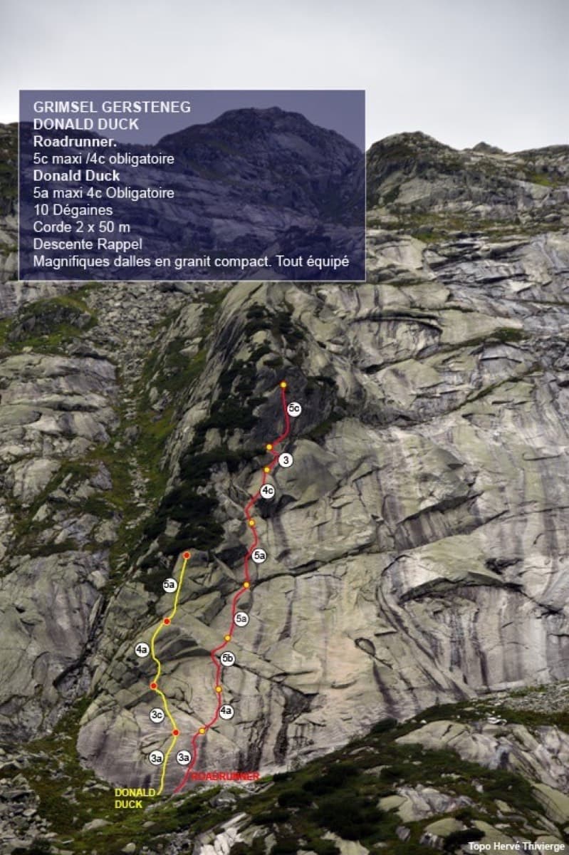
Photo-topo of the Donald Duck slab at Gerstenegg with Roadrunner (red) and Donald Duck (yellow)

Switzerland · Grimsel

Roadrunner

Seven pitches of smooth, low-angle Grimsel granite, almost all pure friction, with two short steeper steps. Technically easy, but you have to trust your feet. A gentle introduction to Grimsel slab and to multipitch rope work.

4c7 pitches200 m

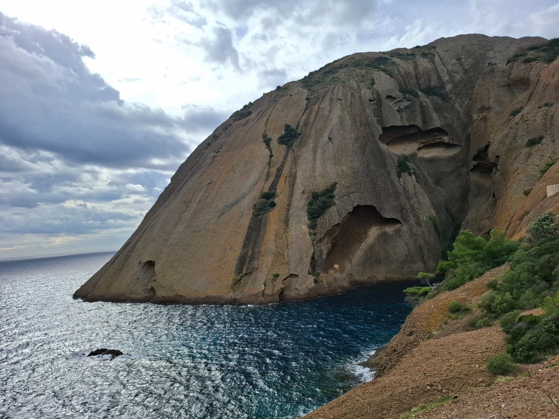
The east face of the Bec de l'Aigle, a single sweep of puddingstone falling into the Anse du Sec at La Ciotat, photographed on the approach to L'Atelier Bleu; the route climbs this face, the line is not marked.

France · Calanques

L'Atelier Bleu

An oddity: easy slabs and a long water-worn runnel up a dome of puddingstone above the sea, reached by abseiling into a cove from the Mugel park. The climbing is grade 3 and 4 on surprisingly solid pebbles. It was fully rebolted in 2024 and is a popular first multipitch.

4c6 pitches220 m

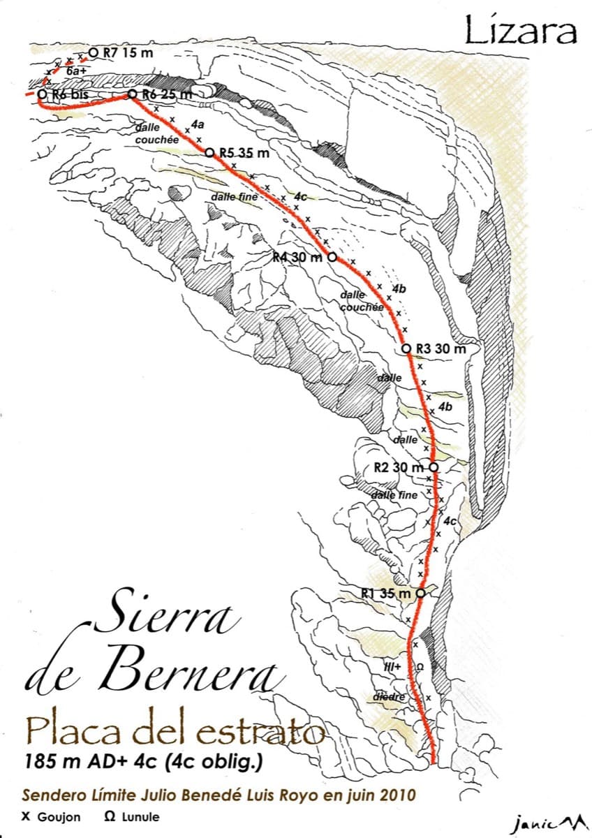
Drawn topo of the Placa del Estrato on the Sierra de Bernera above Lizara, with bolts and belays marked

Spain · Western Aragonese Pyrenees (Lizara)

Placa del Estrato

Six pitches of easy limestone slab up the great folded stratum above the Lizara refuge, parallel to the unbolted Chimenea del Estrato. Friction and small edges at 4b to 4c, with runnels on the upper pitches, in a high pasture setting. A mountain day at a beginner's grade, with an hour's walk in.

4c6 pitches185 m

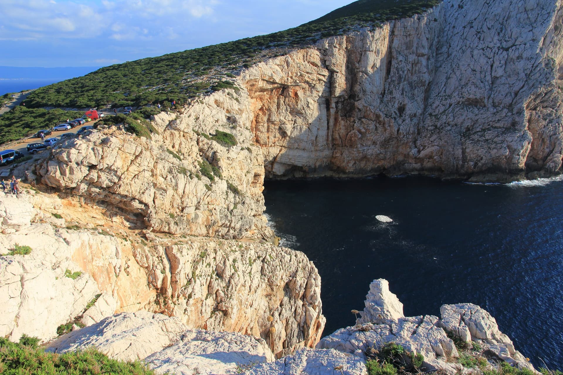
The limestone sea cliffs of Capo Caccia below the Foradada viewpoint car park, dropping straight into the sea.

Italy · Sardinia

Powaqqatsi

The easiest line on the Capo Caccia sea cliff: six pitches of 4b to 4c on pocketed, sharply sculpted limestone above the open sea. You abseil in from the top and climb out. The first two pitches are vegetated; the climbing proper starts on the pitch 3 slab.

4c6 pitches145 m

Read the cautionsCommitting

Compiled from published sources and last verified October 2026. Bolts, anchors and access change. Climbing is dangerous and you are responsible for your own decisions: check a current topo and read the disclaimer.