Multipitch Atlas

Espolón de Poniente

Peña Rueba west face (Mallo Calva), Murillo de Gállego · Riglos & Agüero (Mallos) · Spain

Bail with caveatsBolting confidence: medium

Starts past the huge roof on the west face and climbs to the Punta Blanca. A superb short 6a corner on pitch 3, then a long run of grade 4 and 5. In shade in the morning.

Mallo la Calva, Peña Rueba, seen on the approachPhoto: janic · CC BY-NC-ND 3.0

Photo

Mallo la Calva, Peña Rueba, seen on the approachPhoto: janic · CC BY-NC-ND 3.0
Hardest pitch
6a
Pitches
10
Length
250 m
Approach
30 min
Aspect
W
West-facing
Rope
2×50 m

The route

Overview

A long, easy-angled bolted spur on the west face of Peña Rueba, starting beyond the huge roof and finishing on the Punta Blanca above Mallo La Calva. The difficulty is concentrated low down: a steep first wall, a fine short 6a corner on pitch 3 and a thin wall on pitch 4. Above, it is a long run of grade 4 slabs where the main challenge is spotting the next bolt, and a loose ridge to finish. Bolting is close on the hard moves and the route is much quieter than the sunny south-face lines because it stays in shade. One source suggests treating it as a mountain outing rather than just a long sport route.
The climbing

Pitch by pitch

Pitches of Espolón de Poniente
PitchGradeLengthNotes
P15+30 mV+. Straight up a compact, vertical wall, moving right up a crack; one thin V+ move, otherwise V.
P24+20 mIV+. Right up an easy corner-gully past a small step by a bush, then a long traverse left to the belay below the corner. Mediocre rock before the traverse. This belay is equipped for abseiling.
P36a20 mStraight up the superb slanting, cracked corner and out over a small overhang. The exit is 6a if you do not touch the tree; otherwise easier.
P45+30 mV+. Steep wall above the belay with thin moves on small holds, then easier. One source gives V+/6a and a 2026 report suggests 5c+/6a.
P5435 mIV. Straight up an easy-angled slab.
P6425 mIV. Another laid-back pitch. Start rightwards, drift right at a tree; belay on the right.
P7425 mIV. Rising rightwards as the wall gradually steepens; belay on the left.
P8535 mV then IV. Steeper wall drifting left to a belay in a niche at the foot of the upper spur. From here a grade III ledge leads right to Mallo La Calva.
P94+30 mIV+ (V- in one source). A cracked corner, then out left up a vertical wall; you have to weave to find the line. Loose rock at the start and the second bolt is some way off. Belay at a giant thread.
P10330 mIII. Along the slightly loose ridge to the top of Punta Blanca. Belay on the summit or continue about 15 m down to the notch (brecha) with the abseil station.

Getting there

Approach

To the parking

Base is Murillo de Gállego. From the village follow the sign for Hotel Real Posada de Liena; after about 290 m turn right at a bend, and at a house about 700 m in take the dirt track beside it. Pass the first water pond and park in the clearing on the left by the second pond, where a sign bans further traffic, about 2.1 km from Murillo. Camptocamp describes the same track from the A-132 (about 3 km along the Barranco del Barello, with ruts and two steep sections); it was rebuilt in 2022. A 2022 party came in by a decent track from Agüero to a small parking for 3 or 4 cars.

On foot · about 30 min

About 30 min on a waymarked path. Walk about 450 m along the track and take the path on the right towards the walls. Near the Cueva Calva overhang keep left at the fork (the right branch goes to the south face). Go round the wall on the left, passing under the big roof of the west face, and continue along the base. Where the path starts to descend, at a rock terrace, climb the sloping ledge to a single bolt (R0). In 2018 a tape with the route name hung from a hanger. Parties report the start is easy to find.

Finding the route · 2 photos

  • ParkingPeña Rueba from the pond where you park, with the summits labelled: Mallo la Calva is the left-hand one. The red line is another party's day on Mallo Varella and shows the path up to the walls.Photo: janic · CC BY-NC-ND 3.0
  • Start of the routeLooking up the slab at the start of the route (photo titled 'depart' by a 2026 party).Photo: benjy · CC BY-NC-ND 3.0

Approach photo

Map of the walk-in

  • Crag
  • Parking

Loading map

The point marks the crag, not the exact start of the route.

Coordinates · crag

42.36198, -0.76557

Parking

42.35191, -0.76694

Los Ballatíes (camptocamp access point)

Point from camptocamp waypoint 752245

For your phone or watch

Download GPX

Contains the route point and parking. Opens in most mapping apps and GPS watches.

Points are compiled from published sources, with the precision stated above. They were not surveyed on the ground: check them against a current topo.

Getting down

Descent

Two options. (1) From the notch beyond Punta Blanca, abseil on the south side from a station of two widely spaced bolts with rings to the grassy ledge: 20 m according to Camptocamp and a 2025 party, about 30 m according to another source. Follow the ledge east for about 50 m to the foot of the small summit wall; from there either climb one of the summit-face routes (Sendero Límite, Lorenzo Ortas) or keep following the ledge to a small col with a fixed rope, then a faint cairned path up to the crest to join the ferrata (Ferrata de la Mora / south via ferrata). (2) Skip the abseil and continue along the loose ridge for about 70 m (I then III+, one or two more easy pitches, a few bolts and a pine with a sling but no belays) to the twin summits of Peña Rueba, then follow cairns down to the same ferrata. The ferrata descends a slabby wall to another col and then alternates walking and cabled sections to the foot of the walls. Allow about 1 h back to the start. A 2026 party mentions two ferrata lines, 'red' and 'yellow'; they went back and took the red one.

Retreat

Bailing off the route

Bail with caveats

Easy low down, awkward higher. A 2026 report says R2 is the last belay equipped for abseiling, so above it a retreat means leaving gear at every stance on a ten-pitch route. No party is recorded retreating from the upper pitches. The climbing eases to grade IV from pitch 5, so once past pitch 4 finishing is usually the simpler way off.

Retreat from
R1 and R2 by abseil; R2 is stated to be equipped for it. Pitch 2 includes a long traverse left, so an abseil from R2 lands away from the start. At R8 a grade III ledge leads right to Mallo La Calva, though no source describes it as a way down. From the notch after pitch 10 a 20 to 30 m abseil reaches the grassy ledge and the path to the ferrata.
Point of no return
R2 is the last rigged belay (2026 report). No source names a point of no return, but above pitch 4 the remaining pitches are grade IV to V and lead to the notch abseil or the ridge, so up becomes the practical choice (inference).
Carry
Two 50 or 60 m ropes, as recommended for the route. Cord and two maillons or karabiners per belay for any retreat above R2.
Basis
Part stated, part inferredA 2026 camptocamp report states R2 is the last belay equipped for abseil and that retreat above means leaving gear, and camptocamp notes the ledge at R8; where going up becomes easier is inferred from the grades.

Partly inferred from the route facts

Safety

Hazards

  • Rock is good to excellent on the lower pitches but needs care in places: pitch 2 and the start of pitch 9 were reported loose in 2026, and the ridge after pitch 9 is poorer.
  • The second bolt on pitch 9 is spaced, above loose rock.
  • Beyond the notch the ridge has a few bolts but no belays; a party arriving from another route in 2021 could not find a belay and used a tree.
  • Stonefall risk on the abseil from the notch (2021 report). The abseil station is two bolts set far apart.
  • Above R2 retreat means leaving gear: R2 is the last belay reported as equipped for abseiling (2026).
  • Vultures nest close to the route, on the wall to the right around R5 and R6, and gather on the summit crest.
  • The descent is long and partly cabled; treat it as part of the route.

Sun and weather

Conditions

West facing and shaded: in shade until about 11:00 in late April, and until about R8 for nearly the whole day in mid-November, when one party climbed in down jackets. That makes it a good choice in hot weather and on busy weekends, and a cold one in wind. Above pitch 8 the route is exposed to the north wind (cierzo). The route is described as little travelled, though five parties were on it one hot June day.

Usual season · Feb to May, Oct to Dec

Sun on the wall · W-facing

Working out the sunlit hours for this month.

  • January: not yet worked out
  • February (usual season): not yet worked out
  • March (usual season): not yet worked out
  • April (usual season): not yet worked out
  • May (usual season): not yet worked out
  • June: not yet worked out
  • July: not yet worked out
  • August: not yet worked out
  • September: not yet worked out
  • October (usual season): not yet worked out
  • November (usual season): not yet worked out
  • December (usual season): not yet worked out

Sun on the wallDaylight, wall in shade● Usual season

Estimated from the wall's aspect only. Ignores surrounding terrain, gullies and the wall's exact shape. Clock times are local to the wall (Central European time), for the 15th of each month.

Climate figures for Riglos & Agüero (Mallos) are not available yet

What to carry

Gear

12 quickdraws (12 to 15 in one source). Two 50 or 60 m ropes if you want to link pitches and for the abseil from the notch; one source notes a 60 m rope reaches the next belay from the notch and 70 m from the Punta Blanca summit. Slings for the ridge. Helmet. Warm clothes outside summer.

Checklist

Quickdraws
12
Rope
2×50 m
Helmet
One each
Abseil device and prusik
The descent or the retreat involves abseiling
Maillons or spare karabiners
To leave behind if you retreat
Cord
Mentioned for retreat

Derived from the route data; check it against a current topo

From climbers

Reader reports

Reader reports are not being collected yet. Until they are, check a current topo and the local club or guidebook publisher for recent changes to Espolón de Poniente.

Worth knowing

Tips

  • Pitches 1 and 2 can be run together as one 50 m pitch, but expect rope drag in the last 5 to 10 m.
  • From pitch 5 upwards every pair of pitches can be linked with 60 m double ropes (5+6, 7+8).
  • The Spanish Camptocamp description climbs the same ground in 7 longer pitches of up to 55 m.
  • The crux moves are closely bolted, so several parties recommend it for trying grade V/V+ on lead.
  • Typical times: about 4 h to 4 h 30 from the first pitch to the Punta Blanca.

Open questions

Where sources disagree

  • Pitch count and length: 10 pitches and 250 m (Camptocamp, French), 7 long pitches (Camptocamp, Spanish), 12 pitches and 325 m (Costra y Pus, which counts the ridge to the summit of Peña Rueba). The 10 pitches to the Punta Blanca are kept here.
  • Pitch 4: V+ on Camptocamp, V+/6a on Costra y Pus, '5c+/6a' in a June 2026 report.
  • Pitches 8 and 9: V then IV and IV+ (Camptocamp) versus V- and V- (Costra y Pus).
  • Abseil from the notch: 20 m (Camptocamp, 2025 report) versus about 30 m (Costra y Pus). Take enough rope for 30 m.
  • One blog places the fine corner on 'L2' because that party linked pitches; it is pitch 3 in the standard description.

Provenance

Sources

Same area

More in Riglos & Agüero (Mallos)

All routes in Riglos & Agüero (Mallos)
The Adamelo spur on Mallo Pisón, Riglos

Spain · Riglos & Agüero (Mallos)

Espolón del Adamelo

This is the gentlest way to sample Riglos. Polished pockets and two bulging 'panzas' lead to a 6a crux that can be pulled through on the bolts (A0). The upper spur is easy, and the Pisón towers loom close by.

6a7 pitches175 m

Read the cautions

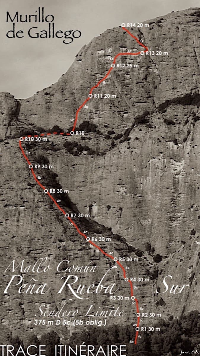
Topo of Sendero Límite on the south face of Peña Rueba (Mallo Común)

Spain · Riglos & Agüero (Mallos)

Sendero Límite

A long beginner's big route on good conglomerate at a moderate angle. Pitches can be linked in pairs with a 60 m rope. A four-pitch headwall with a couple of panzas finishes high above the Gállego valley.

5c14 pitches375 m

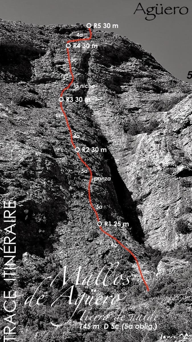
Topo of Tierra de Naide, Mallos de Agüero

Spain · Riglos & Agüero (Mallos)

Tierra de Naide

A morning-sun route at the quieter Agüero mallos. Easy slabs separate two fine steep walls, including a superb vertical 5c plaque on pitch 4. Take care with some loose cobbles on the last traverse.

5c5 pitches145 m

Around 6a · about 10 pitches

Similar elsewhere

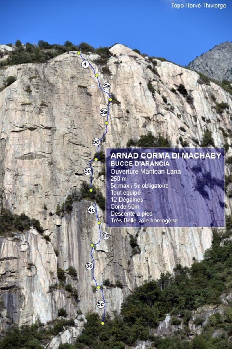
Topo of Bucce d'Arancia on the Corma di Machaby, Arnad

Italy · Aosta Valley

Bucce d'Arancia

This is the most-climbed route on the Paretone. It gives sustained, varied slab and crack climbing on good gneiss, and the hardest moves are a fine crack on P2, a slanting corner and a punchy wall. Queues are common on good days. The Mani Nude guidebook grades it stiffly; camptocamp's Italian page calls it sustained at 5b–5c+ with a single 6a.

6a10 pitches290 m

Read the cautions

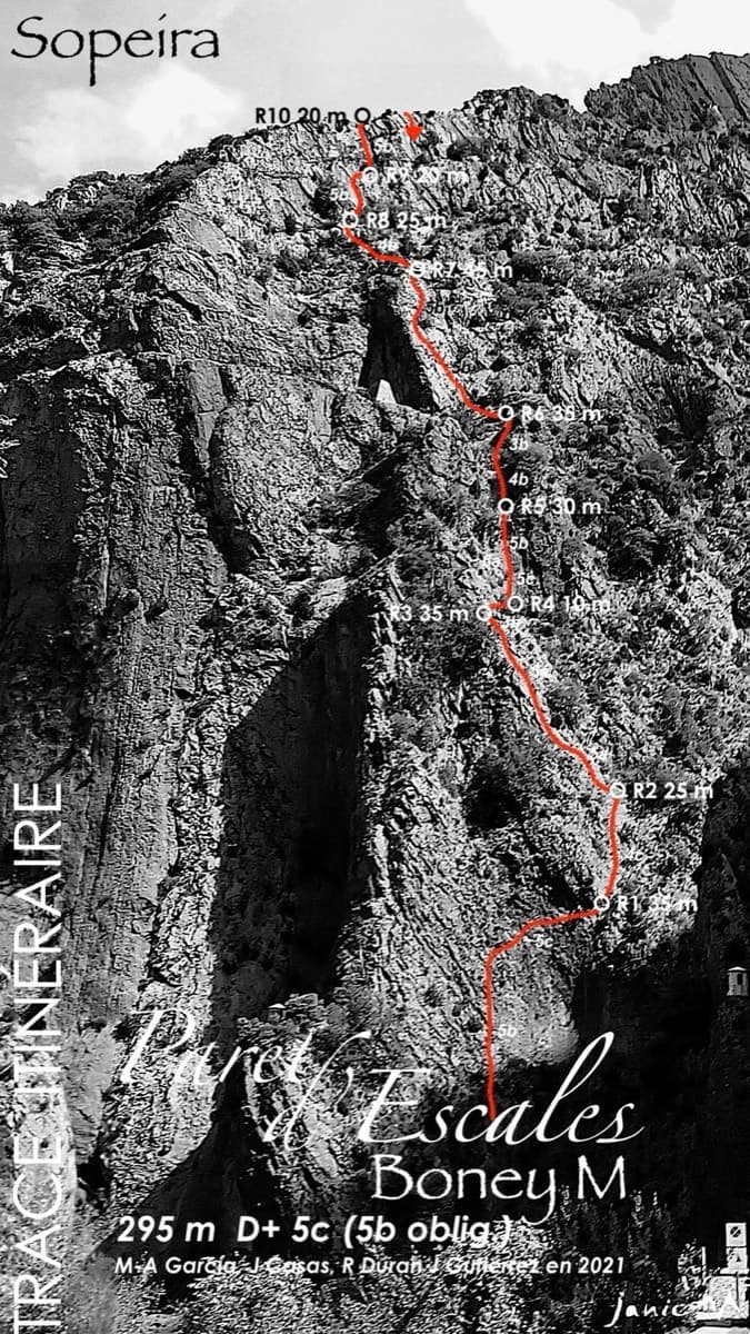
Topo of Boney M on the Paret d'Escales

Spain · Escales (Ribagorça Pyrenees)

Boney M

A modern two-tier line above the Escales dam. Six pitches of slab and a well-protected 6a gully lead to the big ledge, and four more pitches of 5b wall reach the ridge.

6a10 pitches295 m

The Amptrax wall on Frontales, El Chorro

Spain · El Chorro

Amptrax

The absolute El Chorro classic: a physical, sustained line that feels tough for the grade, with a 6a traverse right under the roof. Polished in places from heavy traffic.

6a9 pitches182 m

Topo of Wild Country, left of the Crescendo cave, Telendos south face

Greece · Kalymnos & Telendos

Wild Country

A sustained, varied line on sculpted limestone. It starts with an easy slab and builds to slightly overhanging jugs with huge exposure on the top pitch. Mountain Project and camptocamp grade the crux 6a+ (Rockfax says 6a). With a 70 m rope you can link several pairs of pitches.

6a9 pitches265 m

Compiled from published sources and last verified October 2026. Bolts, anchors and access change. Climbing is dangerous and you are responsible for your own decisions: check a current topo and read the disclaimer.