Multipitch Atlas

Bucce d'Arancia

Paretone di Arnad / Corma di Machaby (Arnad) · Aosta Valley · Italy

Read the cautionsBail with caveatsBolting confidence: medium

This is the most-climbed route on the Paretone. It gives sustained, varied slab and crack climbing on good gneiss, and the hardest moves are a fine crack on P2, a slanting corner and a punchy wall. Queues are common on good days. The Mani Nude guidebook grades it stiffly; camptocamp's Italian page calls it sustained at 5b–5c+ with a single 6a.

A climber on the sweeping gneiss slab of Bucce d'Arancia on the Paretone di Arnad (Corma di Machaby), with the Dora Baltea valley in shadow far below.Photo: camptocamp.org contributor (account closed) · CC BY-NC-ND 3.0

Photo

A climber on the sweeping gneiss slab of Bucce d'Arancia on the Paretone di Arnad (Corma di Machaby), with the Dora Baltea valley in shadow far below.Photo: camptocamp.org contributor (account closed) · CC BY-NC-ND 3.0
Hardest pitch
6a
Pitches
10
Length
290 m
Approach
25 min
Aspect
SW
South-west-facing
Rope
1×50 m
Read before you go

Fully bolted, but bolts are spaced with ledge-fall potential on the polished start of P6 and a 5c obligatory grade.

The route

Overview

One of the oldest and the most-climbed route on the Paretone, the big gneiss face of the Corma di Machaby above Arnad. Ten pitches of slab, crack and corner lead to the top of the hill: a fine crack on P2, a smooth slanting corner on P5 and a strenuous start to P6 are the hard parts. Belays are on comfortable ledges. It is fully bolted and was rebolted, but the bolts are spaced in the Paretone style, the key pitches are polished, and the obligatory grade is about 5c. Italian sources grade it 5c or 5c+; French sources give three pitches of 6a.

In pictures

Photos

Approach photo

The climbing

Pitch by pitch

Pitches of Bucce d'Arancia
PitchGradeLengthBoltsNotes
P15c40 m10 boltsA wide corner and slab, then a traverse left under a small roof to an obvious crack that leads to a belay on a broad ledge.
P26a35 m10 boltsMove left to a superb crack of about 20 m, thinner at the top, then exit right onto a terrace with the belay above the roof. 6a in French sources, 5c or 5c+ in Italian ones. Strenuous.
P35c25 m6 boltsA horizontal traverse right (stay low), then a thin rising move rightwards and easier ground to a ledge. Bolts are more spaced here. Italian sources give 5a to 5+.
P44c40 m5 boltsEasy, with one gymnastic move, to a wooded ledge. The belay is shared with Tike Saab.
P56a45 m11 boltsThe slanting corner. Stay in the right-hand line, then make a clear traverse right at the exit, level with a birch, to a comfortable terrace. Smooth, polished and shaded; hard when wet. 5c+ in Italian sources.
P66a42 m11 boltsThe first 10 m are powerful and polished, and the first bolt is hard to reach. Then trend well right through bushes to the belay.
P75b40 m6 boltsA thin start, then easier to a terrace. Near the end take the slab on the left rather than the grassy corner on the right.
P85a20 m5 boltsGo up behind a tree and follow the bolts left to an intermediate belay; stopping here avoids rope drag. The start is not trivial.
P95a30 m5 boltsStraight up on pleasant slabs. From here the line is shared with Tike Saab. There are many bolt lines; do not drift too far left.
P10345 m5 boltsVery easy finish. Belay on a tree at the top.

Getting there

Approach

To the parking

Arnad, lower Aosta Valley. Leave the Torino to Aosta motorway at Pont-Saint-Martin and follow the main road towards Aosta. After the fort of Bard you reach Champagnolaz, the flat ground under the face, about 1 km east of Arnad. Turn right on a side road to the bar-restaurant and park there, or in the small lay-bys at the foot of the Paretone. Camptocamp rates public transport to Arnad as good. A second access is from the north, from the parking below the Machaby fort.

On foot · about 25 min

From below (20 to 30 min): from the small parking follow the path marked with red paint, signed 'Machaby' at the start. It is steep, with rock steps and some fixed ropes. The route starts exactly where this path reaches the base of the wall, at the lowest point of the face, below a wide corner. It is marked with a small plaque; other routes are to either side. From the north (about 30 min): from the Machaby parking cross the bridge, go up the cobbled mule track past the church to the agriturismo, take the dirt road and then the path past a ruin, keeping right at junctions. The path then drops steeply beside the wall (cables, some scrambling) to the base. Avoid this path after rain.

Finding the route · 3 photos

Approach photo

Map of the walk-in

  • Crag
  • Parking

Loading map

The point marks the crag, not the exact start of the route.

Coordinates · crag

45.63498, 7.73580

Parking

45.63457, 7.72929

Arnad (camptocamp access point)

Point from camptocamp waypoint 39748

For your phone or watch

Download GPX

Contains the route point and parking. Opens in most mapping apps and GPS watches.

Points are compiled from published sources, with the precision stated above. They were not surveyed on the ground: check them against a current topo.

Getting down

Descent

Walk off, 40 to 60 min. From the top go over the summit of the Corma and down the far side to the half-abandoned hamlet of Machaby. Then either (1) turn sharply right at the yellow sign for the parking (not the stony track going left down the valley) and follow the steep red-marked path beside the wall back to the base and the lower parking; it has cables, fixed ropes, rungs and easy rock steps, and a September 2026 report says it has been equipped via-ferrata style; or (2) take the good path round the north side of the hill to upper Arnad and the parking. If you came from the Machaby fort side, the agriturismo and fort are a few minutes from the top. Abseiling the face is possible but sources call it awkward.

Retreat

Bailing off the route

Bail with caveats

You can abseil off, but it is awkward. Belays are two bolts with chain and abseil ring, and sources say abseiling the face is possible but not convenient. Several pitches are 40 to 45 m, so the single 50 m rope the route is climbed on will not reach belay to belay. The line also traverses on P1, P3, P5 and P6.

Retreat from
Any belay up to R9. The last belay is a tree at the top, where you walk off. Most belays are on ledges, with a wooded ledge at R4 shared with Tike Saab. No source describes a walk-off from these ledges.
Carry
Two ropes of 50 m or more to cover the 40 to 45 m pitches.
Basis
Part stated, part inferredCamptocamp's Italian page states the belays have chain and ring, and the guide's sources call abseiling the face possible but awkward. The need for two ropes is inferred from the pitch lengths.

Partly inferred from the route facts

Safety

Hazards

  • Bolts are spaced. Two September 2026 reports stress this, and one says a fall at the start of P6 could reach the ledge; the first bolt of P6 is hard to reach. A 2023 report warns of a fall to below the third bolt there.
  • Polish: the start of P6 is polished (2023 report), the P5 corner is smooth and slightly greasy, and a 2023 report calls the first two pitches smooth too. The P5 corner is very hard when wet or muddy.
  • Camptocamp rates the route E2 for exposure, and the obligatory grade is 5c.
  • Route-finding on the upper pitches: several bolt lines cross. Going too far left gives severe rope drag.
  • The last belay is on a tree.
  • The red-marked descent path beside the wall is steep and slippery after rain.
  • Crowding: parties above and below on a face with ledges and vegetation. Wear a helmet.

Sun and weather

Conditions

South to south-west facing at low altitude (base about 500 m), climbable most of the year. In winter the sun arrives mid-morning and stays until late. The P5 corner is shaded and stays greasy or muddy after rain. Very busy at weekends in spring and autumn: several parties on the route at once is normal. Allow 3 to 4 h.

Usual season · Feb to Jun, Sep to Nov

Sun on the wall · SW-facing

Working out the sunlit hours for this month.

  • January: not yet worked out
  • February (usual season): not yet worked out
  • March (usual season): not yet worked out
  • April (usual season): not yet worked out
  • May (usual season): not yet worked out
  • June (usual season): not yet worked out
  • July: not yet worked out
  • August: not yet worked out
  • September (usual season): not yet worked out
  • October (usual season): not yet worked out
  • November (usual season): not yet worked out
  • December: not yet worked out

Sun on the wallDaylight, wall in shade● Usual season

Estimated from the wall's aspect only. Ignores surrounding terrain, gullies and the wall's exact shape. Clock times are local to the wall (Central European time), for the 15th of each month.

Monthly climate averages for Aosta Valley, 1991-2020
MeasureJanFeb (usual season)Mar (usual season)Apr (usual season)May (usual season)Jun (usual season)JulAugSep (usual season)Oct (usual season)Nov (usual season)Dec
Mean daily high °C−20371117202016103−1
Mean daily low °C−8−8−5−148111172−4−8
Rain days 1 mm or more121112131616151312121312

● marks the usual climbing season. Averages for 1991-2020 at about 1489 m. Area climate from Open-Meteo reanalysis. Temperatures are adjusted to the height of the crag; rain comes from a grid cell of about 10 to 25 km, and summer highs on sea cliffs can read a few degrees low. The wall and valley can differ. Data: Open-Meteo, CC BY 4.0.

What to carry

Gear

Single 50 m rope and 12 quickdraws (one English note says 14). Helmet. One Italian club description suggests a couple of small to medium cams as an option. With a 60 m rope P9 and P10 can be linked.

Checklist

Quickdraws
12
Rope
1×50 m
Helmet
One each
Abseil device and prusik
The descent or the retreat involves abseiling

Derived from the route data; check it against a current topo

From climbers

Reader reports

Reader reports are not being collected yet. Until they are, check a current topo and the local club or guidebook publisher for recent changes to Bucce d'Arancia.

Worth knowing

Tips

  • Do not trust the line or the grades in the Mani Nude guidebook for this route; camptocamp says the drawn line is wrong.
  • P3 and P4 are often linked (2023 report).
  • Use the intermediate belay on P8 to avoid drag.
  • Start early or go midweek. Tike Saab alongside is a similar alternative when there is a queue.
  • The Machaby fort hostel and the agriturismo on top (open at weekends) are options for food and a bed.
  • A GPX track of the approach and descent is on the gulliver.it route page.

Open questions

Where sources disagree

  • Grades: camptocamp's French page gives 5c, 6a, 5c, 4c, 6a, 6a, 5b, 5a, 5a, 3. Its Italian page gives 5c, 5c+, 5+, 4+, 5c+, 6a, 5b/c. Gulliver gives 5c, 5c, 5a, 4a, 5b, 5b, 5a, 5a, 4a, 3b (max 5c, 5c obligatory). Scuola Guido della Torre gives 5c, 5c, 5a, 4a, 5c with a 5c+ move, 5c, 5a, 5a, 4a, 4a. The French grades are kept as the cautious choice; the start of P6 is the one section most sources agree is hard.
  • Pitch count: 10 on the French page, Gulliver and Scuola Guido della Torre; the English and Italian camptocamp pages describe 9, with the last two on Tike Saab.
  • Length: 290 m on camptocamp, 280 m on Gulliver and Scuola Guido della Torre.
  • Bolting: 'excellent' in several older reports and 'recently rebolted' on the club page, versus 'spaced, as usual on the Paretone' in two September 2026 reports. Both can be true: sound bolts, well apart.
  • Quickdraws: 12 (French and Italian pages, corrected from 11 in 2023), 14 (English page).
  • Approach: 20 min (French page), 30 min (Italian page and club page).
  • Aspect: S on Gulliver and the route record, S/SW on the crag record.

Provenance

Sources

Same area

More in Aosta Valley

All routes in Aosta Valley
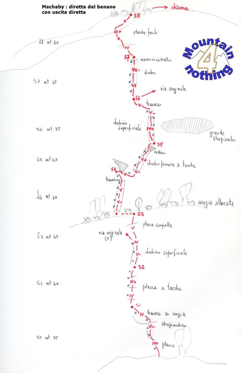
Hand-drawn topo of Diretta al Banano (direct finish), Corma di Machaby

Italy · Aosta Valley

Diretta al Banano

Along with Bucce d'Arancia this is the Paretone's other great classic (first ascent 1977, later retro-bolted). It climbs big, juggy, non-athletic slabs on beautiful rock up the centre of the wall to near the summit. Expect a few metres above the last bolt in places.

5c+9 pitches250 m

Read the cautions
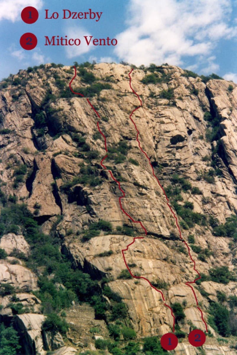
Topo of Lo Dzerby (line 1) and Mitico Vento on the Corma di Machaby, Arnad

Italy · Aosta Valley

Lo Dzerby

A long, easy-angled outing up the full height of the Paretone. A steeper lower half with an exposed pillar on P5 leads to sculpted slabs and broken steps higher up. It's a good first big multipitch.

5c13 pitches400 m

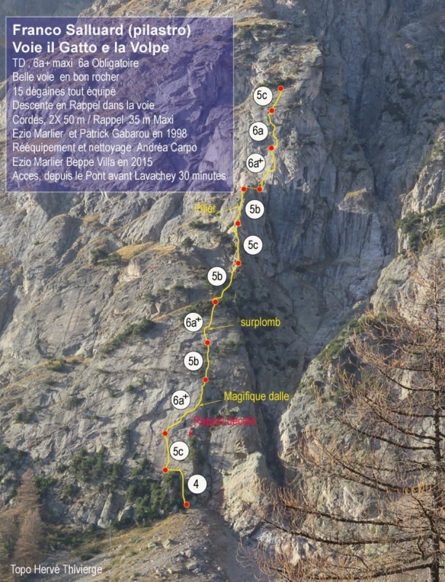
Topo of Il Gatto e la Volpe on the Pilier Franco Salluard, Val Ferret

Italy · Aosta Valley

Il Gatto e la Volpe

Rated 'great' on camptocamp: a wild setting with a short, easy approach from Lavachey. It climbs edgy granite slabs and a pillar crest, with a three-star exposed slab on P9.

6a+11 pitches350 m

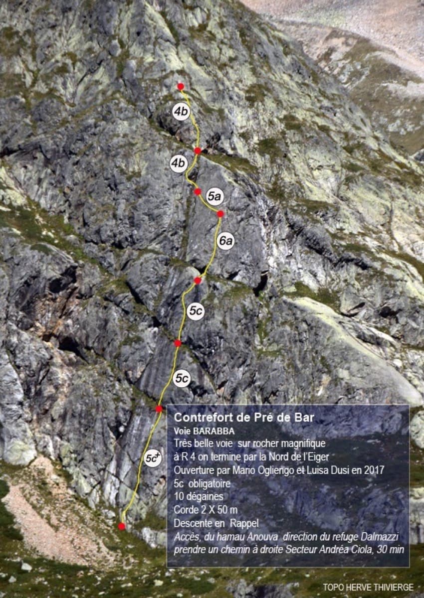
Topo of Barabba on the Contrefort de Pré de Bar, Val Ferret

Italy · Aosta Valley

Barabba

A pretty plaisir route on edgy, quartz-studded granite slabs beneath the Mont Blanc massif. The crux is a short bulge and steep juggy wall on P4. Camptocamp rates it 'great'.

6a7 pitches180 m

Around 6a · about 10 pitches

Similar elsewhere

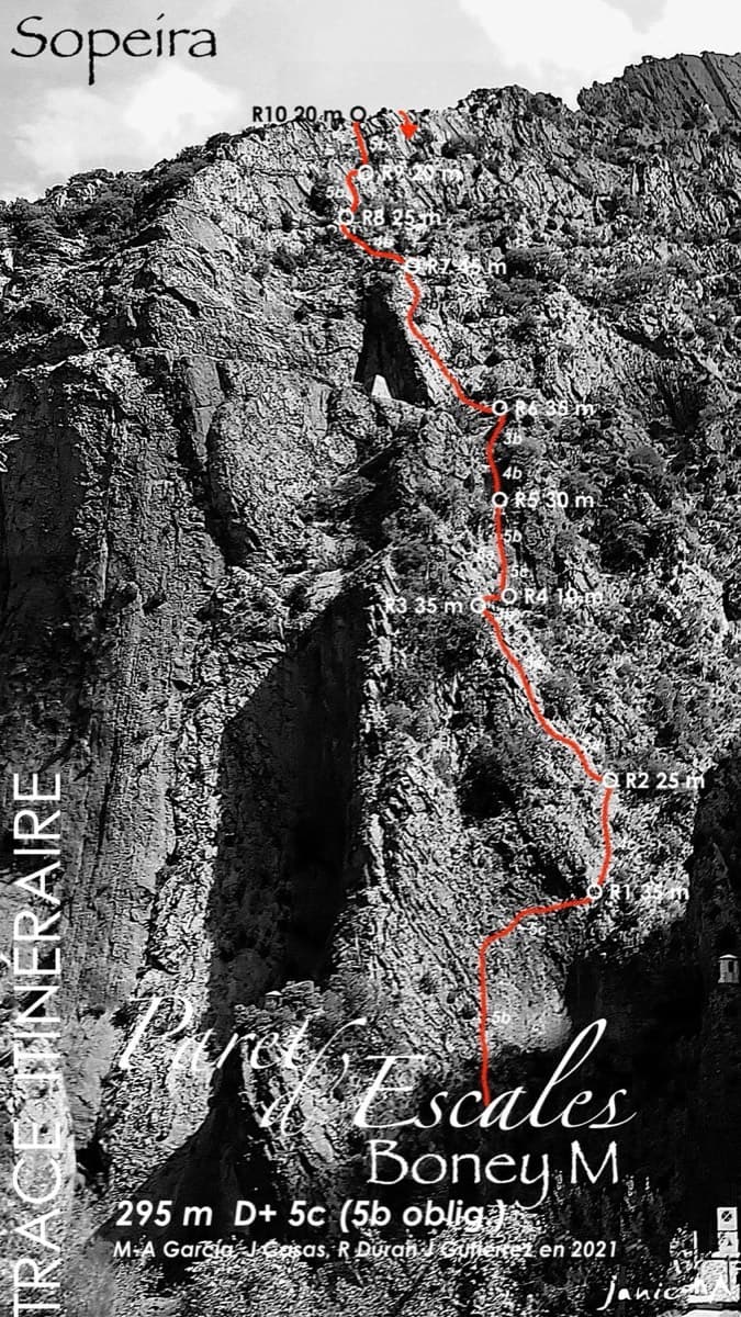
Topo of Boney M on the Paret d'Escales

Spain · Escales (Ribagorça Pyrenees)

Boney M

A modern two-tier line above the Escales dam. Six pitches of slab and a well-protected 6a gully lead to the big ledge, and four more pitches of 5b wall reach the ridge.

6a10 pitches295 m

Mallo la Calva, Peña Rueba, seen on the approach

Spain · Riglos & Agüero (Mallos)

Espolón de Poniente

Starts past the huge roof on the west face and climbs to the Punta Blanca. A superb short 6a corner on pitch 3, then a long run of grade 4 and 5. In shade in the morning.

6a10 pitches250 m

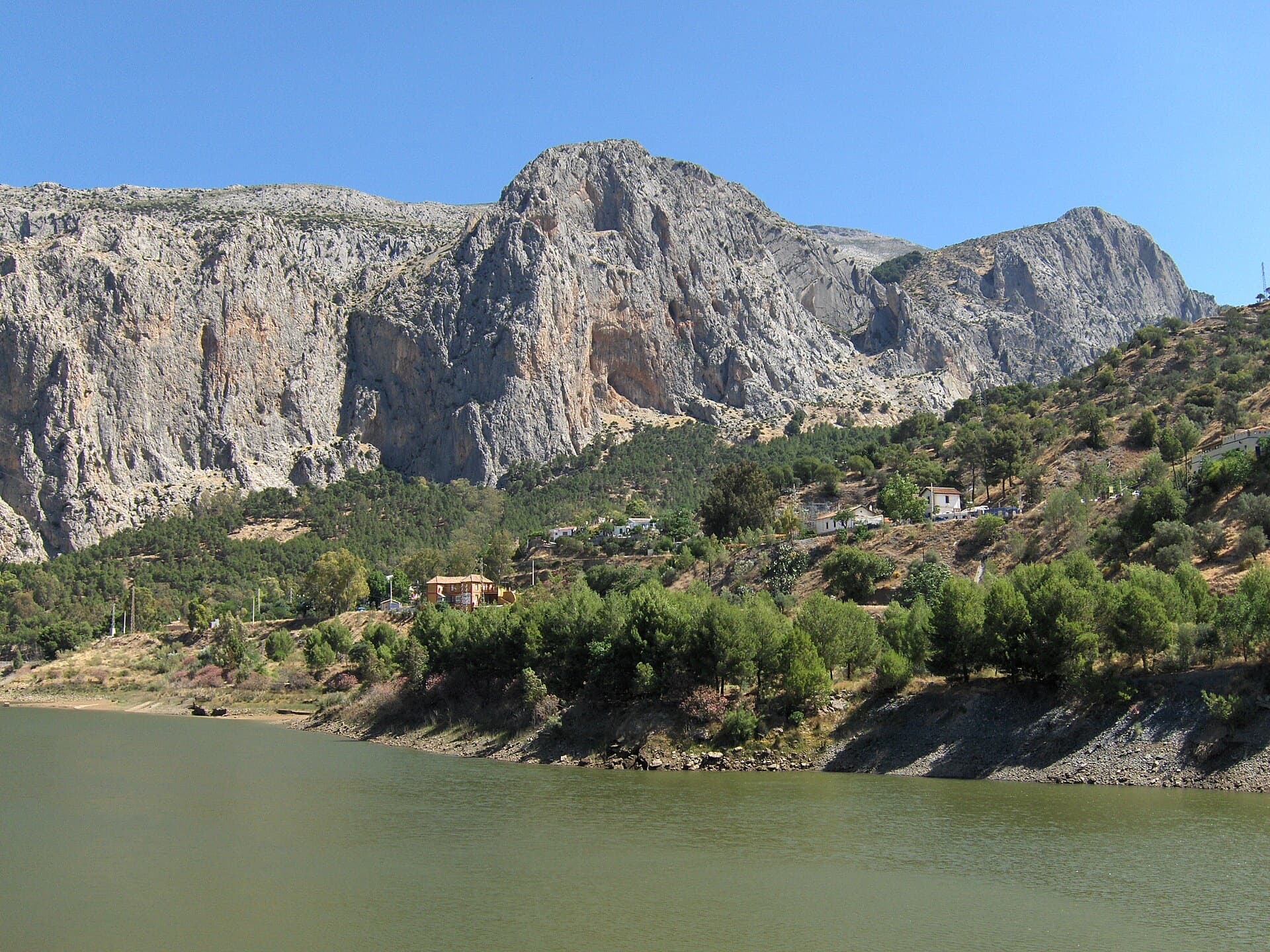
The Frontales cliffs above El Chorro seen across the Tajo de la Encantada reservoir, with the big Poema de Roca cave at the foot of the central dome. The Amptrax sector is on the left-hand part of the cliff; the line is not marked.

Spain · El Chorro

Amptrax

The absolute El Chorro classic: a physical, sustained line that feels tough for the grade, with a 6a traverse right under the roof. Polished in places from heavy traffic.

6a9 pitches182 m

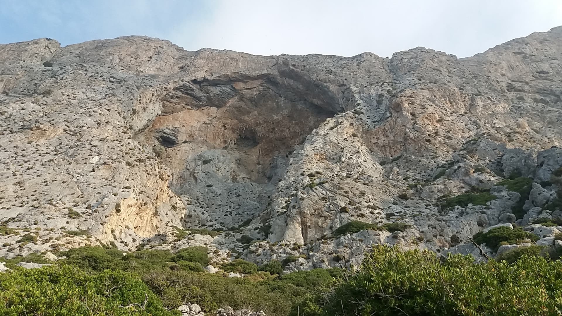
The south face of Telendos around its great cave, seen from the approach path; Wild Country climbs the wall left of the cave.

Greece · Kalymnos & Telendos

Wild Country

A sustained, varied line on sculpted limestone. It starts with an easy slab and builds to slightly overhanging jugs with huge exposure on the top pitch. Mountain Project and camptocamp grade the crux 6a+ (Rockfax says 6a). With a 70 m rope you can link several pairs of pitches.

6a9 pitches265 m

Compiled from published sources and last verified October 2026. Bolts, anchors and access change. Climbing is dangerous and you are responsible for your own decisions: check a current topo and read the disclaimer.