Multipitch Atlas

Princetza d'Euskadi

Pilier des Sources (Mauléon-Barousse) · Barousse (Central Pyrenees) · France

Bail not documentedBolting confidence: high

A short, friendly pillar of wonderfully rough, sculpted limestone above a Pyrenean village, bolted in 2022 as a first multipitch. Five pitches of grade 3 and 4 with single moves of 5a (4c obligatory), fifteen minutes from the car. Ideal for learning rope work; experienced parties move together and are up in an hour.

Photo-topo of Princetza d'Euskadi on the Pilier des Sources, Mauléon-Barousse, with belays and pitch lengthsPhoto: janic · CC BY-SA 3.0

Topo

Photo-topo of Princetza d'Euskadi on the Pilier des Sources, Mauléon-Barousse, with belays and pitch lengthsPhoto: janic · CC BY-SA 3.0
Hardest pitch
5a
Pitches
5
Length
132 m
Approach
15 min
Aspect
SE
South-east-facing
Rope
1×40 m

The route

Overview

Princetza d'Euskadi climbs the Pilier des Sources, a wooded limestone spur above the Maison des Sources at Mauléon-Barousse, from 635 m to 741 m. The first two pitches take a lower buttress; a fixed hand line then leads slightly down and left across a wooded break to a second stance, from which three more pitches follow the upper pillar to its top. The climbing is mostly grade 3 and 4 on very grippy rock, with isolated steps of 4c to 5a. The line was cleaned and bolted by Pierre Albero in autumn 2022. A fixed-rope 'via corda' now runs nearby and joins the last pitch.

The climbing

Pitch by pitch

Pitches of Princetza d'Euskadi
PitchGradeLengthBoltsNotes
P14c20 m5 boltsStraight up the cleaned plinth through blocky, fractured rock, mostly 3c with a move of 4c, to a stance with room for three.
P25a25 m7 boltsThe pillar of pale, grooved limestone with one step of 5a (4c obligatory) on very rough rock, to a belay at the edge of a copse. A fixed hand line then leads slightly down and left to the R2 bis stance, built on two trees.
P35a25 m7 boltsAn easy-angled plinth that steepens abruptly at the second bolt (5a), a rising traverse left on jugs, then a slab with a big hold to exit.
P44c27 m6 boltsA step above the belay, then a slightly overhanging rising traverse left to the fourth belay. A 2026 party notes it is easy to skip several bolts near this belay.
P54c35 m8 boltsA rising traverse left over two broken steps and round a perched block, then right towards a wall and a squeeze on the left to finish. The via corda's fixed ropes and bolts cross this pitch: the route goes straight up to a tiny overhang and then follows the line of fixed ropes on grade 2 ground. It is possible to stray onto the neighbouring line at the last belay.

Getting there

Approach

To the parking

Drive to Mauléon-Barousse (Hautes-Pyrénées) and follow signs for the Maison des Sources. Park at the entrance to its grounds, at about 590 m.

On foot · about 15 min

About 15 min. Take the path just above the car park northwards, towards the Château de Bramevaque. About 150 m after the last building, at a rock marked with a yellow line, climb onto an old terrace. Find a cairn at the foot of a steep passage and go straight up to a second terrace visible above, then continue up to the right following the track and cairns. At the last cairn the start appears up and left, marked by a metal rosette fixed to the rock, with bolts visible. A fixed rope that starts on slabs 10 to 20 m before and below the start belongs to the via corda, not to this route.

Finding the route · 3 photos

Approach photo

Map of the walk-in

  • Crag
  • Parking
  • GPS line

Loading map

The point marks the crag, not the exact start of the route.

GPS line: one party's recorded GPS track of the whole day, including the climb and the descent. One party's line for their day on 25 March 2026 (37 points): Maison des Sources car park, the Bramevaque path, the pillar and the walk back down. Do not follow it blindly.

GPS line: janic, Ben&Pink · CC BY-NC-ND 3.0

Coordinates · crag

42.96830, 0.57056

Parking

42.96403, 0.56862

Maison des Sources, Mauléon-Barousse (camptocamp waypoint 1520502)

Point from camptocamp waypoint 1528768

For your phone or watch

Download GPX

Contains the route point, parking and a GPS line. Opens in most mapping apps and GPS watches.

Points are compiled from published sources, with the precision stated above. They were not surveyed on the ground: check them against a current topo.

Getting down

Descent

On foot. From the fifth belay go up right to the top at 741 m, then take a faint track left into the gully that leads back to the foot of the route. A gentler, strongly recommended alternative (in place since 2025) turns right just after the first step of the original descent and follows tape markers and cairns directly to the car park gate, without passing the base; take care near the end, where it becomes confused above the houses. Allow 15 to 20 min.

Retreat

Bailing off the route

Bail not documented

No source describes retreating from the route or says whether the belays are rigged for abseiling. The route is short and easy, and the fixed-rope traverse after pitch 2 crosses a wooded break in the pillar, but whether you can walk off from there is not stated.

Retreat from
Not documented. The belays are bolted (slings needed to link them), and the R2 bis stance is on trees.
Point of no return
None stated; the climbing never exceeds 5a and eases towards the top.
Carry
The recommended single 40 m rope will not reach on an abseil of the 25 to 35 m pitches, so carry a longer or second rope and maillons if you want that option (inferred).
Basis
Inferred from the route factsCamptocamp gives only a walk-off descent; the rope remark is inferred from the pitch lengths.

Partly inferred from the route facts

Safety

Hazards

  • Ticks in early summer.
  • The original descent is steep and slippery; use the newer marked path.
  • A perched block on pitch 5 and fractured rock low on pitch 1.
  • Fixed ropes and extra bolts from the via corda can mislead on the last pitch.

Sun and weather

Conditions

East to south-east facing at 600 to 740 m, in woodland. Parties climbed it in comfort between late March and late October. The original descent gully is slippery with dry leaves in autumn. A June 2026 party came back covered in small ticks.

Usual season · Mar to Jun, Sep to Nov

Sun on the wall · SE-facing

Working out the sunlit hours for this month.

  • January: not yet worked out
  • February: not yet worked out
  • March (usual season): not yet worked out
  • April (usual season): not yet worked out
  • May (usual season): not yet worked out
  • June (usual season): not yet worked out
  • July: not yet worked out
  • August: not yet worked out
  • September (usual season): not yet worked out
  • October (usual season): not yet worked out
  • November (usual season): not yet worked out
  • December: not yet worked out

Sun on the wallDaylight, wall in shade● Usual season

Estimated from the wall's aspect only. Ignores surrounding terrain, gullies and the wall's exact shape. Clock times are local to the wall (Central European time), for the 15th of each month.

Climate figures for Barousse (Central Pyrenees) are not available yet

What to carry

Gear

8 quickdraws, a single 40 m rope and a set of slings for the belays, including the tree stance at R2 bis. Helmet.

Checklist

Quickdraws
8
Rope
1×40 m
Helmet
One each
Maillons or spare karabiners
To leave behind if you retreat

Derived from the route data; check it against a current topo

From climbers

Reader reports

Reader reports are not being collected yet. Until they are, check a current topo and the local club or guidebook publisher for recent changes to Princetza d'Euskadi.

Worth knowing

Tips

  • Leave nothing at the base if you plan to use the direct descent path.
  • A good venue for practising belay changeovers: allow about 2 hours pitched, 1 hour moving together.
  • A 2026 report mentions a second multipitch line by the same opener on the pillar.

Open questions

Where sources disagree

  • Pitch grades are published as ranges along each pitch (for example '3a/5a/4c' for pitch 3); the hardest move of each pitch is used here, giving 4c, 5a, 5a, 4c, 4c against an overall 5a with 4c obligatory.
  • Parking altitude: 590 m on the route page, 550 m in a 2026 report.
  • Approach: 15 min in a 2026 report, 13 min in another; the route page gives no time.
  • Only camptocamp documents this route; no independent source was found, so the cross-check relies on six dated trip reports.

Provenance

Sources

Around 5a · about 5 pitches

Similar elsewhere

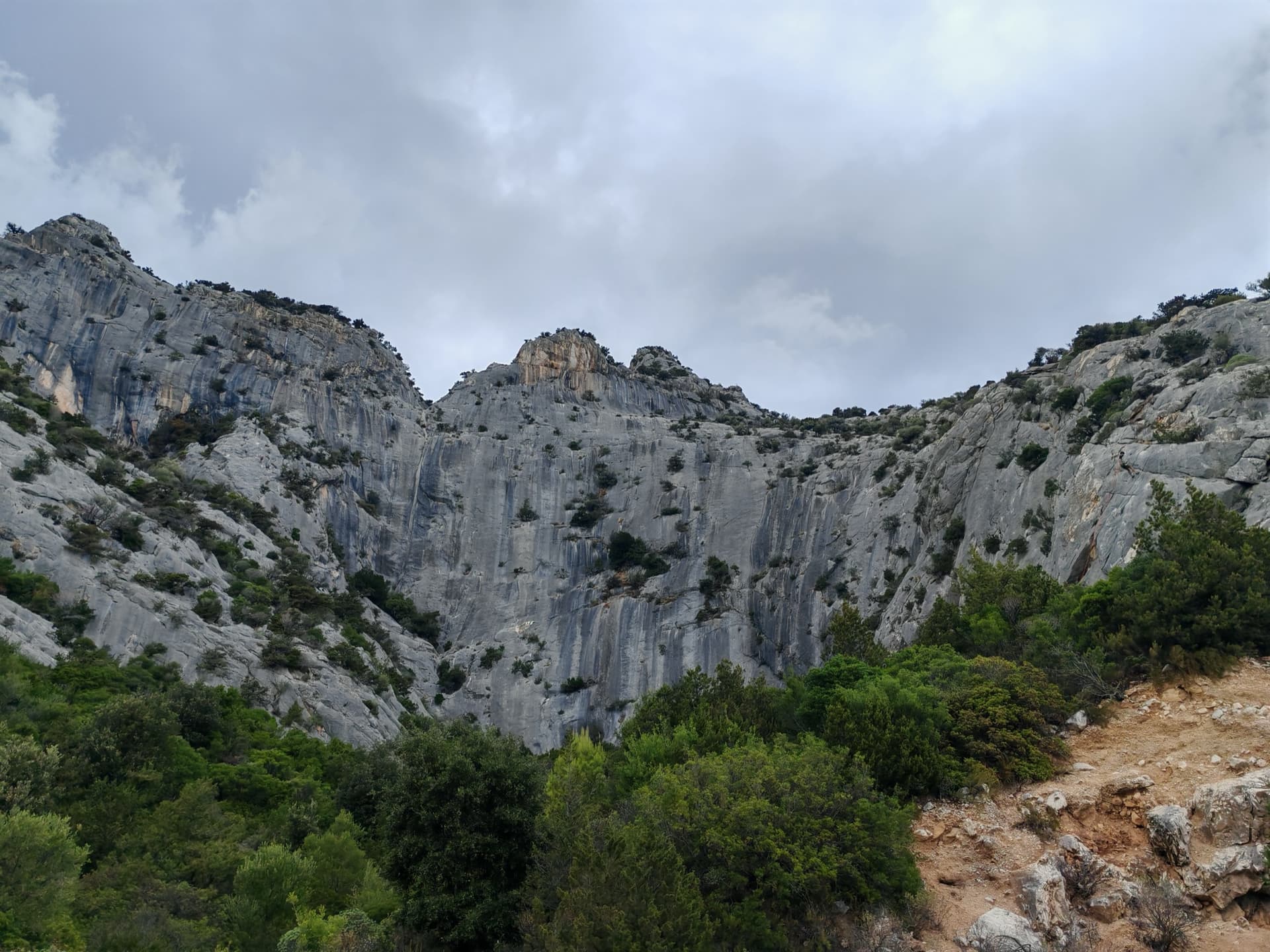
The grey limestone amphitheatre of La Poltrona above Cala Gonone, seen from the approach path.

Italy · Sardinia

Lilith

An easy and popular line on the big amphitheatre above Cala Gonone: three 4c pitches of juggy steps and easy-angled slabs, a short walk left through bushes, then a 35 m wall of heavily sculpted rock at 5a. Expect queues.

5a4 pitches120 m
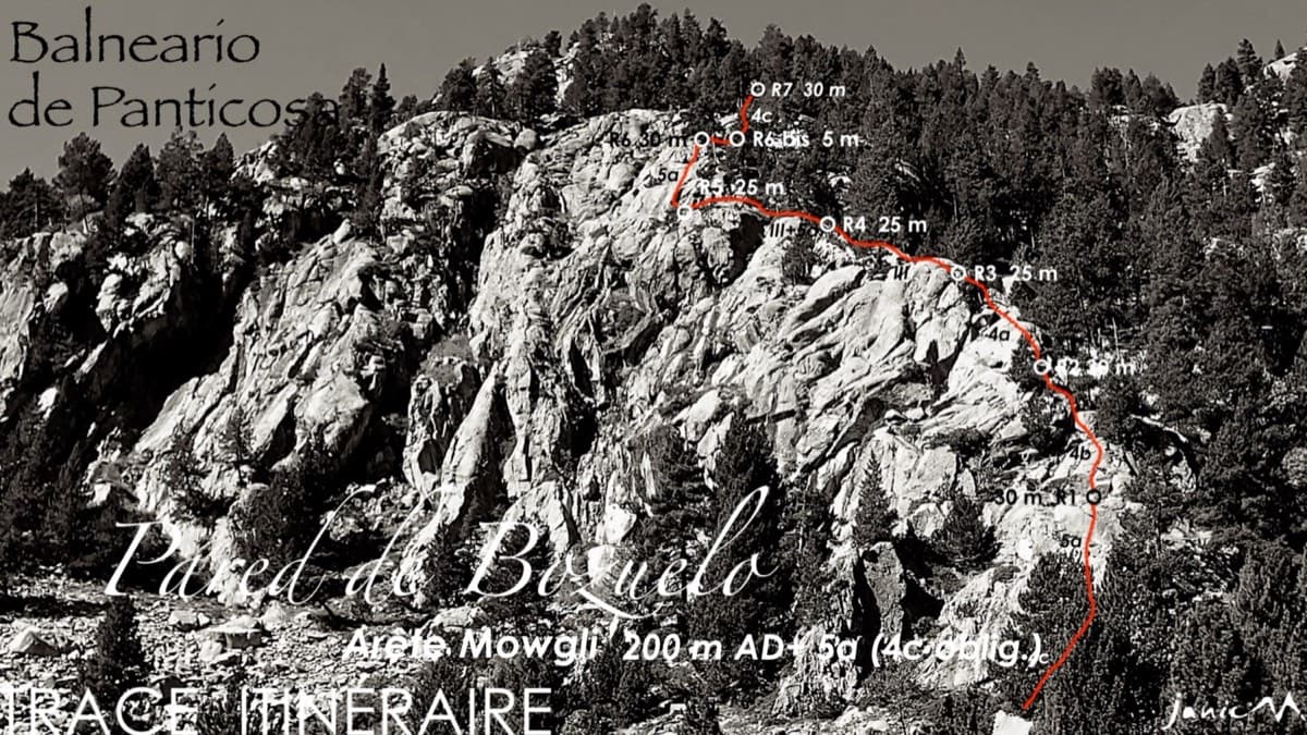
Line of the Arista Mowgli on the Pared de Bozuelo above Baños de Panticosa, with belays marked

Spain · Aragonese Pyrenees (Tena & Canfranc valleys)

Arista Mowgli

An easy granite ridge above the Bozuelo meadows, low-angled and never exposed. Two smooth friction slabs at 5a, on pitches 1 and 6, are the only real difficulties; the rest is steps and short walls at grade 3 to 4. Ideal for a first multipitch, and you can step off rightwards onto ledges almost anywhere.

5a7 pitches200 m

The Plombergstein and Steinklüfte cliffs above St. Gilgen, seen from the village

Austria · Salzkammergut

Juniperus

Five easy pitches up an edge above the Wolfgangsee, mostly UIAA 4 with a few moves of 5-. A slab low down and an exposed step across a cleft on pitch 4 are the memorable bits. A popular first multipitch.

4c5 pitches150 m

No photo yet

Spain · Riglos & Agüero (Mallos)

Normal a la Aguja Roja

The easiest way up a real Riglos summit: five short pitches of 4c on a ramp, a crack and a chimney, steep enough to feel like proper climbing. It is the standard beginners' route and the descent for the whole needle, so expect queues and people abseiling past you. In shade most of the day.

4c5 pitches100 m

Compiled from published sources and last verified October 2026. Bolts, anchors and access change. Climbing is dangerous and you are responsible for your own decisions: check a current topo and read the disclaimer.