Multipitch Atlas

La Luna

Espolón de los Agujeros, Barranco de la Maimona · Montanejos · Spain

Read the cautionsBail with caveatsBolting confidence: high

Eight pitches up a vertical prow deep in the Maimona canyon, on orange rock full of pockets (agujeros means holes). Sustained at 6a+ to 6b and physical throughout, with a huge roof start to the crux pitch and a bench to sit on at the third belay. Closed from January to June.

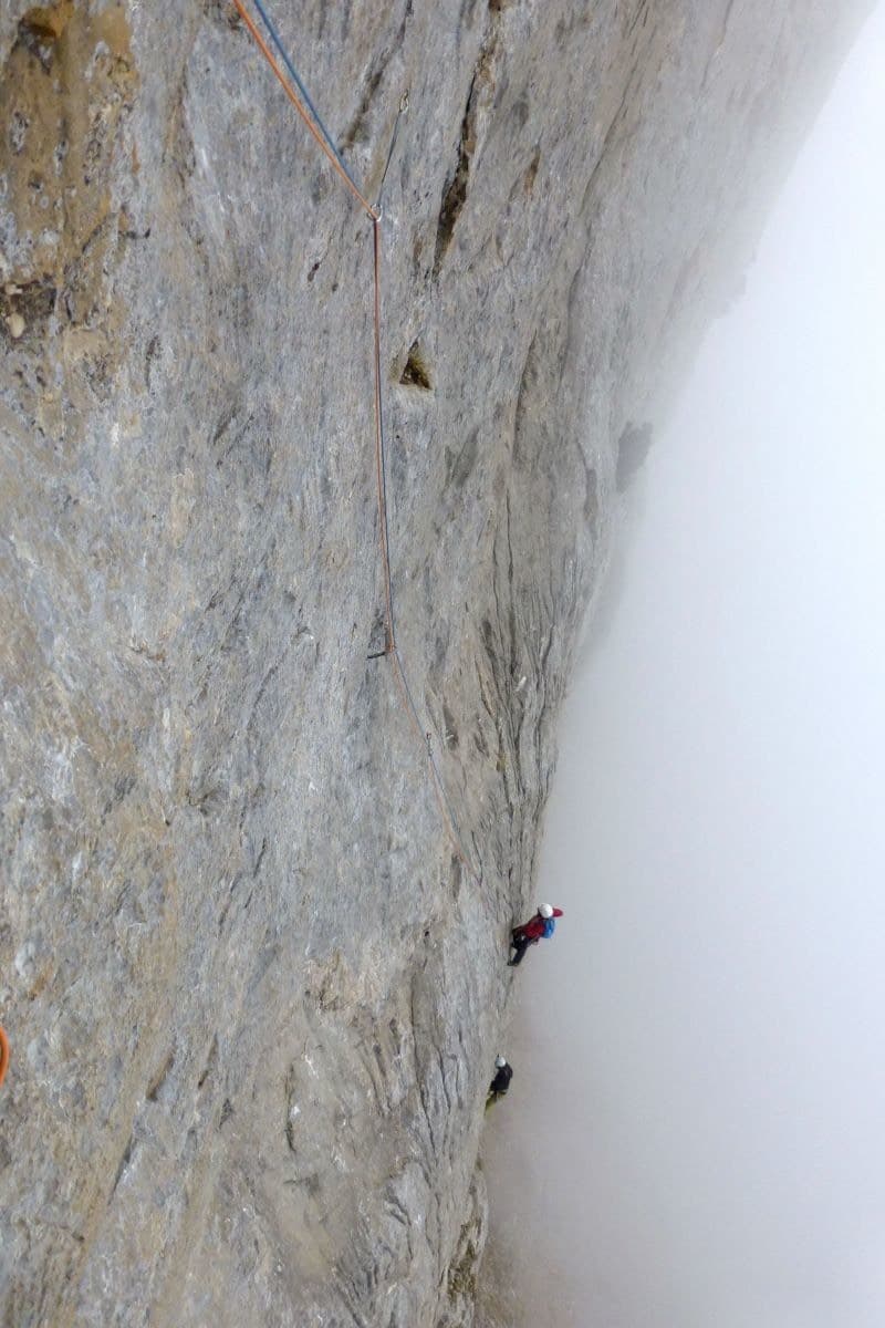
The walls of the Barranco de la Maimona at Montanejos, photographed on an ascent of La Luna.Photo: cyril · CC BY-NC-ND 3.0

Photo

The walls of the Barranco de la Maimona at Montanejos, photographed on an ascent of La Luna.Photo: cyril · CC BY-NC-ND 3.0
Hardest pitch
6b+
Pitches
8
Length
235 m
Approach
30 min
Aspect
–
Not recorded
Rope
–
Read before you go

Abundantly bolted with chained belays, but it has loose rock on pitch 5, ageing rungs on pitch 6, flood-dependent access and a January to June closure.

The route

Overview

The showpiece of Montanejos and a regular in lists of Spain's best multipitch routes. It follows the right side of the Espolón de los Agujeros, a prow up the canyon beyond the flood dam, on heavily sculpted rock that is steep the whole way. Parties describe it as homogeneous, around 6b from bottom to top, with abundant bolts. Access is the complication: the canyon bed must be nearly dry, the cables past the flood dam were damaged in November 2024 (repaired by October 2025), and climbing is forbidden for half the year.

The climbing

Pitch by pitch

Pitches of La Luna
PitchGradeLengthNotes
P16a+30 mA hard, athletic start when cold.
P26a+30 m–
P36a+30 mEnds on a ledge.
P4520 mTraverse left along the ledge, where there is a bench.
P56b+25 mA huge overhang at the start, then a slab (the 6b+ section), then a traverse. The crux goes well, but the top of the pitch crosses very poor rock: a 2022 leader fell holding a detached slab, and the chalked holds left of the slab should be avoided. The Spanish description gives 32 m.
P66b30 mPartly climbed with the help of fixed metal rungs, finishing up a corner at 6b. A 2022 party describes the rungs as in poor condition and suggests backing up the belay on the first rung with a long sling.
P76b25 mVery steep.
P86a+30 mAn excellent, very sustained pitch to the top.

Getting there

Approach

To the parking

Montanejos is in inland Castellón province, on the CV-20 road up the Mijares valley from Onda; no source read gives public transport details. The starting point is the climbers' refuge (Albergue El Refugio) at the mouth of the Maimona gorge, at the entrance to the village. Water is available from the village fountain or at the car park after the bridge.

On foot · about 30 min

About 30 minutes. From the refuge walk up the canyon to the flood-control dam. Climb the steps on its left, then descend with the help of a cable and a fixed rope back into the stream bed. Continue to the prow. The route is on its right-hand side, with a moon drawn at the start. If pools remain, cabled traverses let you pass the flooded sections.

Finding the route · 1 photo

  • OverviewThe Barranco de la Maimona at Montanejos seen from above: the pale stream bed on the gorge floor is what you walk up to reach the climbing sectors. For La Luna you follow it past the flood-control dam to the prow of the Espolón de los Agujeros.Photo: AngelVera81 · CC BY-SA 3.0

Approach photo

Map of the walk-in

  • Area: approximate

Loading map

The point is approximate: it marks the area, not the crag.

Coordinates · area: approximate

40.06100, -0.54000

Point from camptocamp waypoint 189249

For your phone or watch

Download GPX

Contains the route point. Opens in most mapping apps and GPS watches.

Points are compiled from published sources, with the precision stated above. They were not surveyed on the ground: check them against a current topo.

Getting down

Descent

Walk off. Follow the ridge north to a small col and a signpost at a fork. Left: descend towards the gully, then climb back up along the wall with a cable to a col, traverse east roughly level, regain the crest to pass round the summit and join the GR path back to Montanejos, about 1 hour in all. Right: a gully that leads down to the flood dam, not tested by the camptocamp authors. Abseiling the route is awkward above the third belay.

Retreat

Bailing off the route

Bail with caveats

All belays are chained and a 2022 party retreated after a fall on pitch 5, so abseiling from the middle of the route is feasible. Camptocamp warns that the abseil descent is awkward above the third belay, where the route traverses a ledge and then overhangs. Rope lengths are not given.

Retreat from
Belays 1 to 3 are in line and the simplest. A retreat from the top of pitch 4 or 5 has been done but is described as delicate.
Point of no return
Roughly the top of pitch 5: above it the pitches overhang and the walk-off from the top is the intended way out.
Carry
Two ropes (pitches are 30 m or more). A long sling to back up the pitch 6 belay.
Basis
Part stated, part inferredChained belays and the warning about abseiling above R3 are stated on camptocamp; the 2022 retreat is reported without detail; rope needs are inferred.

Partly inferred from the route facts

Safety

Hazards

  • Climbing is forbidden from 1 January to 30 June (biotope regulation).
  • Loose rock in the upper part of pitch 5: a leader fall with a large block was reported in 2022.
  • Fixed rungs on pitch 6 reported as in poor condition in 2022.
  • Corroded hangers were noted low on the route in 2022; the 2025 report calls the equipment irreproachable.
  • The approach depends on water level and on cables that floods can damage, as in November 2024.
  • Abseil retreat is awkward above the third belay because of the traverse and the overhangs.

Sun and weather

Conditions

The pillar is shaded and catches the wind: a February party climbed the whole route in shade and felt cold. With the closure from 1 January to 30 June, autumn is the season. The canyon must be almost dry to reach the start; it was reported nearly dry in October 2013 and October 2025.

Usual season · Sep to Dec

Sun on the wall

No estimate: the wall's aspect is not recorded for this route.

Climate figures for Montanejos are not available yet

What to carry

Gear

12 quickdraws plus belay kit; all belays are chained (camptocamp). No rope length is stated; pitches are up to 30 to 32 m and the descent is on foot. A long sling for the pitch 6 belay. Helmet.

Checklist

Quickdraws
12
Rope
Length not given in the sources
Helmet
One each
Abseil device and prusik
The descent or the retreat involves abseiling
Slings
Mentioned for retreat

Derived from the route data; check it against a current topo

From climbers

Reader reports

Reader reports are not being collected yet. Until they are, check a current topo and the local club or guidebook publisher for recent changes to La Luna.

Worth knowing

Tips

  • Allow about 5 hours for the route, 30 minutes for the approach and up to 1 hour for the walk back.
  • Ask at the refuge about the state of the canyon and the cables before walking in.
  • The walk-off along the top is scenic, and ibex are often seen.

Open questions

Where sources disagree

  • Pitch lengths: the French camptocamp text gives 30, 30, 30, 20, 25, 30, 25, 30 m; the Spanish gives 30, 32, 32, 20, 32, 32, 25, 35 m.
  • Bolt condition: corroded hangers low down (February 2022) against irreproachable equipment (October 2025). Whether bolts were replaced in between is not stated.
  • Return time: about 1 hour on the route page, 30 minutes in a 2022 report.
  • A February 2022 ascent is logged although the wall is closed from January to June; the closure is confirmed in a 2025 report.
  • Only camptocamp could be read for this route, although it has five independent trip reports.

Provenance

Sources

Same area

More in Montanejos

All routes in Montanejos
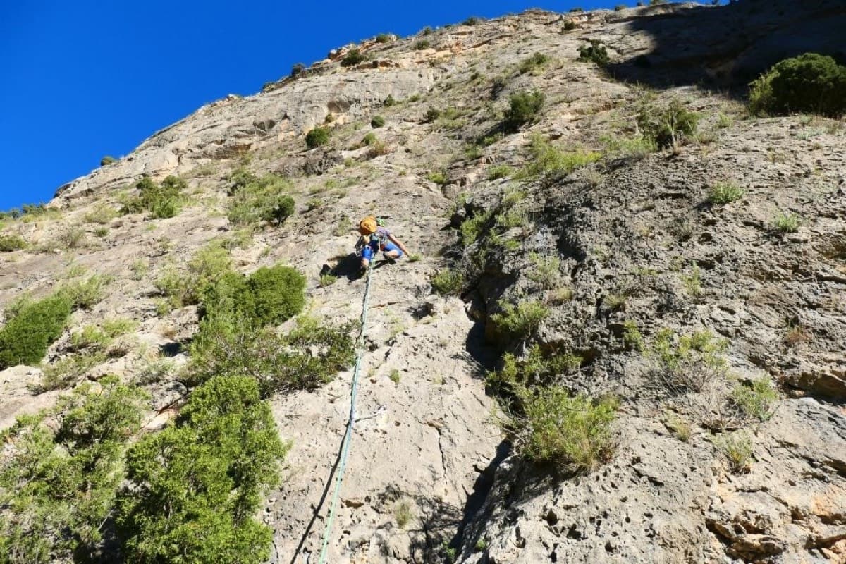
A leader on the first pitch of Monsieur at the Los Calpes sector, Montanejos.

Spain · Montanejos

Monsieur

Seven varied pitches in two halves split by a big ledge: vertical walls and cracks below, then an overhanging red wall and a traverse on a carpet of sharp little spikes beneath giant roofs. In the sun from the morning, unpolished, with an easy walk down.

6b+7 pitches170 m
Around 6b+ · about 8 pitches

Similar elsewhere

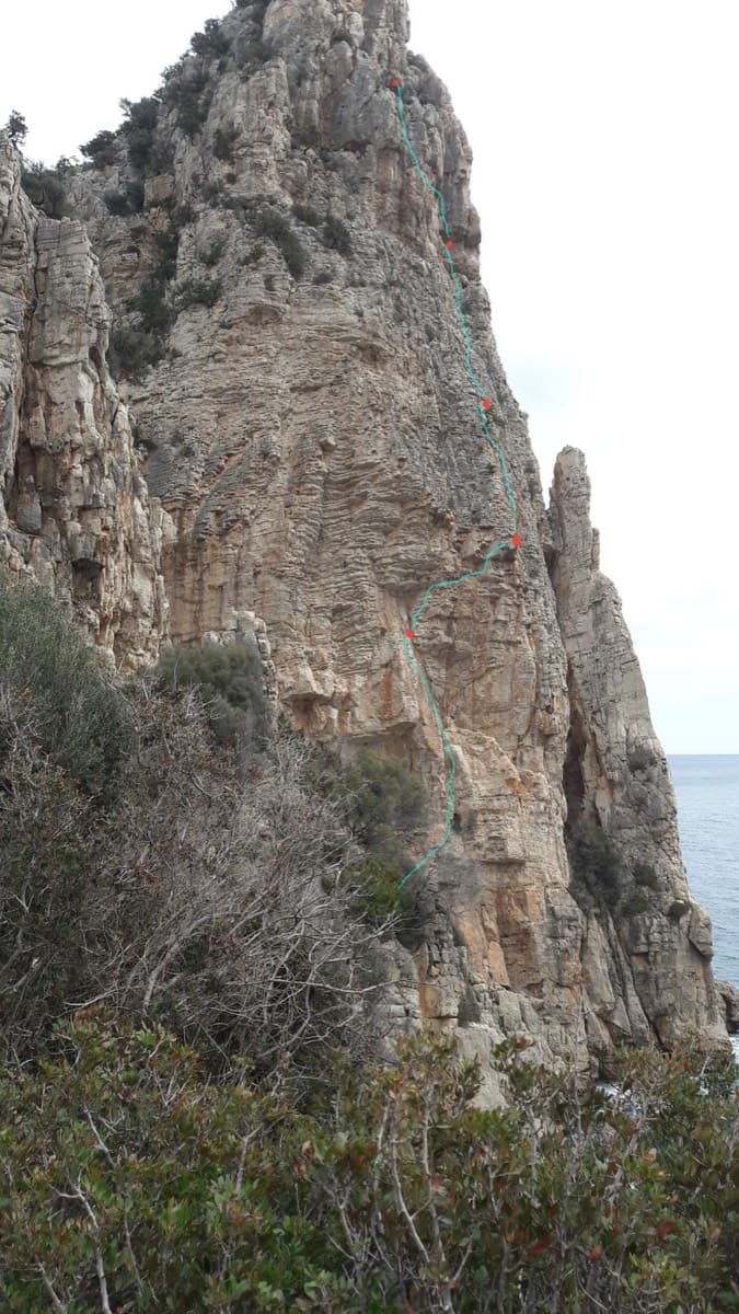
The south-east face of Pedra Longa with the line of Cromosomi Corsari and its belays marked

Italy · Sardinia

Cromosomi Corsari

A sea-level start reached by abseil, then seven short pitches up the seaward face of Pedra Longa. The third pitch is a wildly exposed traverse above a line of roofs; two easy pitches on rock that needs care lead to a technical 6b and 6b+ finish on grey slab.

6b+7 pitches175 m

Climbers on the grey limestone of Freedom, Karayalak Towers, as the morning mist clears

Turkey · Aladağlar

Freedom

Often named as the best route in the massif: seven even pitches of 6a to 6b+ that move from delicate slabs and giant flutings through a steep, rough wall to mountain-style ground at the top. The 6b pitches are no harder than the 6a ones, but the bolts are far enough apart to keep you thinking.

6b+7 pitches235 m

Read the cautions

No photo yet

Italy · Bolzano & South Tyrol

Il Cielo sopra Bolzano

Steep crack, corner and chimney climbing on porphyry, fully bolted in the middle of a trad crag. Sustained at 6a to 6b with a technical 6b+ first pitch. It stays in the shade until mid-afternoon, which makes it a summer option.

6b+7 pitches190 m

No photo yet

Spain · Riglos & Agüero (Mallos)

Irene y la Paz

A recent, closely bolted line on the Mallo Frechín and a good way to get to know Riglos without being frightened. A stiff 6b+ second pitch that many find nearer 6c, then steep, sustained 6a and 6a+ over a succession of bulges on unpolished rock. You can abseil off from the top.

6b+7 pitches190 m

Compiled from published sources and last verified October 2026. Bolts, anchors and access change. Climbing is dangerous and you are responsible for your own decisions: check a current topo and read the disclaimer.