
France · Ariège Pyrenees
Pink Floyd
Consistent, low-angled slab climbing on compact granite, with 10 pitches of 5a–5b+ on the big east face. Above all it is a long, sunny-morning moderate.
5b+10 pitches400 m
Read the cautions
Calamès – Piliers des Cathares · Ariège Pyrenees · France
Easy to bailBolting confidence: high
The hard classic of the Calamès pillars above Bédeilhac: technical slabs, a well-bolted roof and a sustained 6c wall, capped by a short 7a slab pitch after a walk across a garden. Compact rock and close bolts make it a good place to try harder grades on a multipitch. The middle pitch is vegetated.
The route
Arabesque is on the Piliers des Cathares sector of Calamès, the south-facing limestone hill crowned by a ruined castle above Bédeilhac, near Tarascon-sur-Ariège. It was equipped in 1992 and 1993. Four pitches lead to a garden: a teasing 6b+ slab, a slab and roof at 6c, a short vegetated 5c and a very sustained 6c that many think the best pitch. A 20 m walk then leads to a final steep wall with a very hard slab move, given 7a by the local club's topo. The route name is painted at the base. Allow 2.5 to 5 hours.
The climbing
| Pitch | Grade | Length | Notes |
|---|---|---|---|
| P1 | 6b+ | 38 m | A very pretty and rather stubborn slab, delicate on the feet, until a good hold in the upper half. A pocket low down can be damp. |
| P2 | 6c | 35 m | Slab on unusual orange rock, a well-bolted roof that can be passed on aid (A0), then sculpted slab. Use long quickdraws against rope drag. One 2025 party found the bolts further apart at the exit, on good holds. |
| P3 | 5c | 20 m | Short and vegetated. |
| P4 | 6c | 30 m | Very sustained and strenuous. The first step is the hardest, and the final crack has few footholds. After the belay a cable helps you stand up on the rock, then an easy but exposed and unprotected step through bushes leads to the garden. |
| P5 | 7a | 30 m | Walk 20 m across the garden to the smoothest, slightly overhanging part of the wall. There is no belay at its foot; a 2023 party slung a tree under the orange roof. A very hard, physical slab move, then delicate and easier to the top. |
Getting there
From Foix take the N20 towards Tarascon-sur-Ariège. At the roundabout at the end of the dual carriageway take the D618 towards Surba, Saurat and the Col de Port as far as Bédeilhac. Park in the car park on the left at the exit of the village, before the cemetery. Trains on the Toulouse to Latour-de-Carol line stop at Tarascon, 5 km away.
About 45 min by the route page (a 2024 party took an hour at an easy pace). From the car park walk up the street into the village, pass below the church and, 30 m after it, turn right (yellow and green waymarks). Follow the path south-east round the hill to the foot of the routes. Pass the first sectors, then climb up to the right. The wall is right of the castle and barred by a few overhangs. Route names are written at the base.
Loading map
The point marks the crag, not the exact start of the route.
Parking
Bédeilhac car park (camptocamp waypoint 124849)
Point from camptocamp waypoint 102120
Contains the route point and parking. Opens in most mapping apps and GPS watches.
Points are compiled from published sources, with the precision stated above. They were not surveyed on the ground: check them against a current topo.
Coordinates: 42.86972, 1.55806 (crag) · Parking: 42.87350, 1.56276
Getting down
On foot: continue along the crest to the castle and go down the waymarked path, about 35 min to the car park. Do not follow the yellow dots, which lead down the grassy, wooded north face where there is no path and a quarry at the bottom. The belays are also rigged for abseiling the route.
Retreat
Easy to bail
A November 2023 report states that all the belays are chained and equipped for abseiling, each with a third point. A 2025 party climbed the first two pitches and came down. From the garden above pitch 4 you can also skip the last pitch.
Safety
Sun and weather
South-facing at about 900 to 1070 m, a winter-sun crag: camptocamp lists October to May as the season. In late November, after a morning frost, a party was warm by the time they started; another found it hot without a breeze. A small seep can linger on pitch 1.
Sun on the wall · S-facing
Working out the sunlit hours for this month.
Sun on the wallDaylight, wall in shade● Usual season
Estimated from the wall's aspect only. Ignores surrounding terrain, gullies and the wall's exact shape. Clock times are local to the wall (Central European time), for the 15th of each month.
| Measure | Jan (usual season) | Feb (usual season) | Mar (usual season) | Apr (usual season) | May (usual season) | Jun | Jul | Aug | Sep | Oct (usual season) | Nov (usual season) | Dec (usual season) |
|---|---|---|---|---|---|---|---|---|---|---|---|---|
| Mean daily high °C | 2 | 2 | 5 | 8 | 12 | 16 | 19 | 19 | 15 | 12 | 6 | 3 |
| Mean daily low °C | −6 | −6 | −4 | −1 | 3 | 7 | 9 | 9 | 6 | 3 | −2 | −5 |
| Rain days 1 mm or more | 11 | 12 | 12 | 15 | 18 | 17 | 17 | 17 | 13 | 12 | 12 | 11 |
| Sunshine hours a day | 7.1 | 8.5 | 10.0 | 10.8 | 11.6 | 12.4 | 12.9 | 12.1 | 10.4 | 8.9 | 7.4 | 6.8 |
● marks the usual climbing season. Averages for 1991-2020 at about 1785 m. Area climate from Open-Meteo reanalysis (about 10 km grid): the wall and valley can differ. Data: Open-Meteo, CC BY 4.0.
What to carry
No source gives a quickdraw count or rope length; take long quickdraws for pitch 2. Camptocamp suggests an etrier (aider) if you want it for the roof. A sling is needed to belay at the foot of pitch 5. Pitches are up to 38 m, which matters if you plan to abseil. Helmet.
Derived from the route data; check it against a current topo
From climbers
Reader reports are not being collected yet. Until they are, check a current topo and the local club or guidebook publisher for recent changes to Arabesque.
Worth knowing
Open questions
Provenance
Same area
France · Ariège Pyrenees
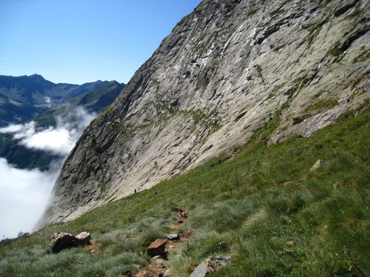
Consistent, low-angled slab climbing on compact granite, with 10 pitches of 5a–5b+ on the big east face. Above all it is a long, sunny-morning moderate.
5b+10 pitches400 m
Read the cautions
Around 7a · about 5 pitches
Morocco · Akchour (Rif)
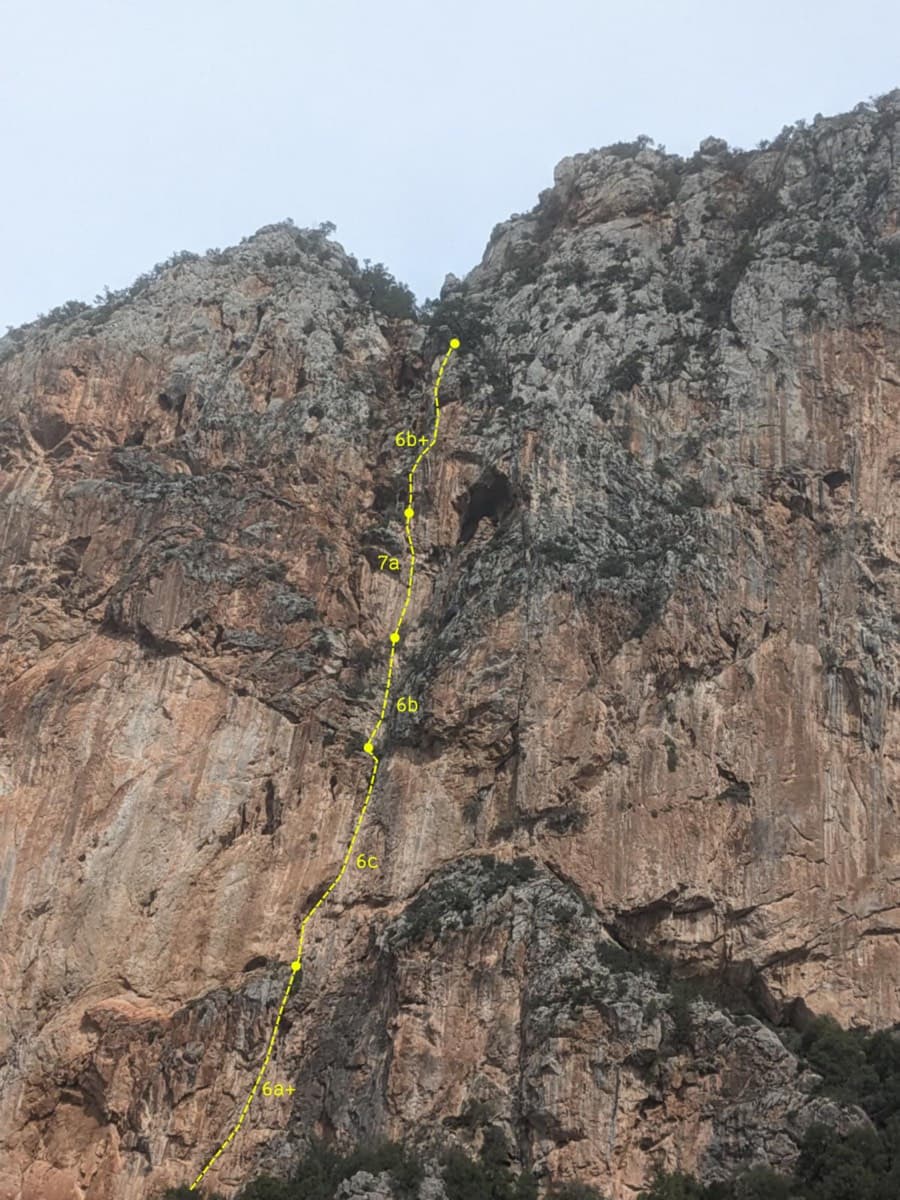
Five pitches through tufa columns, a leaning corner and a lichenous chimney on extraordinarily abrasive rock. The first pitch is a three-dimensional 6a+ on jugs between columns and the 7a fourth pitch is an athletic, well-bolted column climb. Two short passages on the easier pitches are run-out.
7a5 pitches160 m
Read the cautions
Turkey · Aladağlar
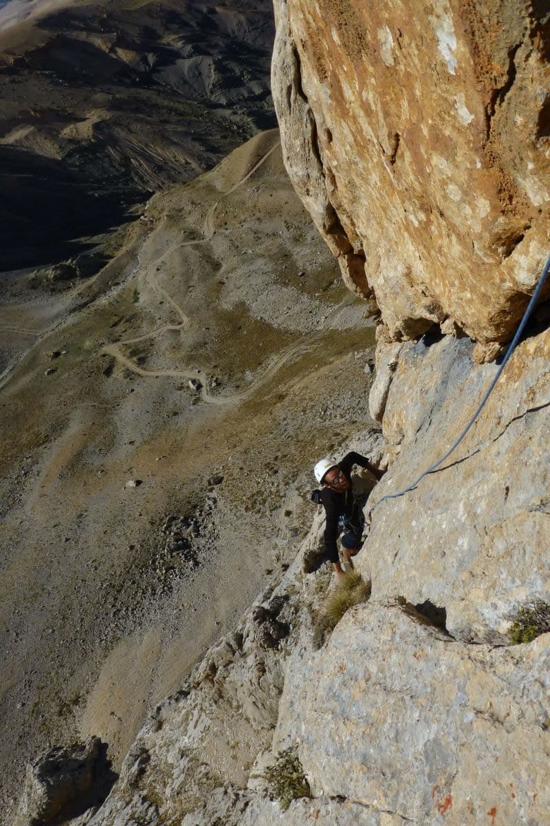
Five pitches on very rough red and grey limestone ten minutes from the car park, with long 5c to 6a+ pitches on knobs and water-worn flutings. The only hard climbing is one physical 7a move on the last pitch, which can be aided. Recommended locally as the route to do on this wall.
7a5 pitches245 m
Read the cautions
Morocco · Todra Gorge (Todgha)
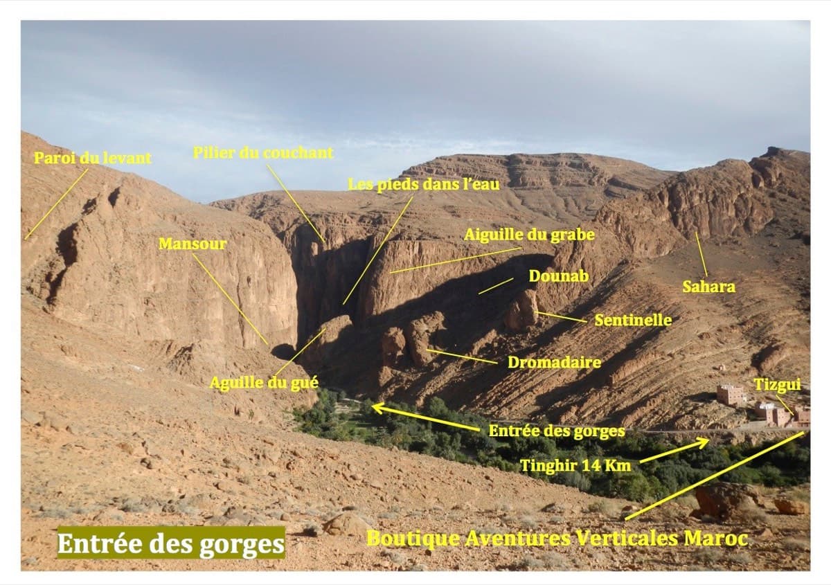
Steep, fingery wall climbing that starts with your feet almost in the stream at the gorge entrance. The 7a second pitch is hard for only 2 to 3 metres and can be swapped for a 6b pitch on the neighbouring route, after which three pitches of 6b+ to 6c+ on pocketed and edgy rock lead to the top. Abseil descent.
7a6 pitches200 m
Read the cautions
Croatia · Paklenica
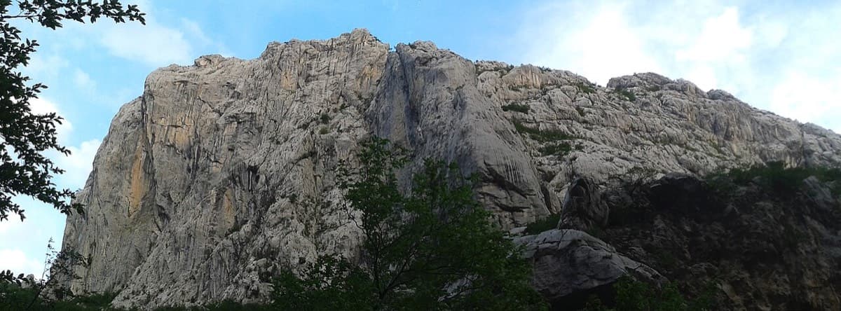
A short, hard line high on the shady north face of Anića kuk: a steep 6a+, a 7a corner on razor-sharp small edges, a slightly overhanging 6c+ corner and a long finish up water runnels. The rock is sharp and superb from the first metre. Good as a half-day or combined with a neighbour.
7a4 pitches130 m
Compiled from published sources and last verified October 2026. Bolts, anchors and access change. Climbing is dangerous and you are responsible for your own decisions: check a current topo and read the disclaimer.