
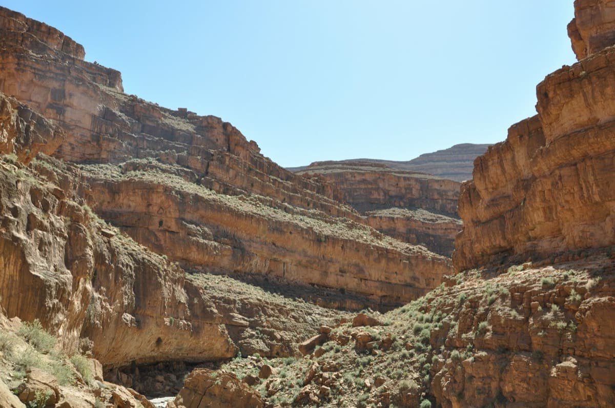
Morocco · Amellago
8anus
Seven pitches on very abrasive limestone beside the oued, with swimming holes below. An athletic start to the 6b second pitch; a couple of doubtful flakes on pitches 3 and 4.
6b7 pitches140 m
Read the cautions
Paroi Tizzarouine · Amellago · Morocco
Read the cautionsBail with caveatsBolting confidence: high
The most accessible multipitch at Amellago: four short pitches broken by a walk along a ledge under the roofs, finishing with an exposed traverse on rough brown rock. Some doubtful rock at the start of pitch 3. In shade from mid-afternoon in winter.
Fully bolted, but brand new, single-sourced, unrepeated on record and on a wall with a lot of fragile rock.
The route
A short four-pitch route put up in 2026 on the Tizzarouine wall above Amellago, described by its openers as the most accessible multipitch there for now. Two pitches lead to a big ledge under a band of roofs, you walk 30 m left along the ledge, then a 35 m wall and an exposed 15 m traverse on rough brown rock finish at an abseil station. The one hard move, a mantel over a small roof straight off the first belay, can be pulled on the bolt. The route is brand new, has no logged repeats on camptocamp, and the wall has a lot of fragile rock, so treat it as less clean than its grade and bolt count suggest.
In pictures
The climbing
| Pitch | Grade | Length | Bolts | Notes |
|---|---|---|---|---|
| P1 | 5a | 15 m | 3 bolts | Short easy pitch to the first belay. |
| P2 | 6b | 30 m | 6 bolts | One move straight off the belay to get over the small roof, a sort of mantel taken on the right (6b), or pull on the bolt (A0), which is described as very easy. Then about 5c on good rock to the big ledge under the roofs. From the belay walk about 30 m left along the ledge to the first bolt of pitch 3. |
| P3 | 6a | 35 m | 11 bolts | The start is on rock that is doubtful in places. The second half is on good, extremely abrasive brown rock. |
| P4 | 5b | 15 m | 4 bolts | An exposed traverse on very good brown rock to the abseil station on a ledge. |
Getting there
Amellago (Aït Slimane hamlet) is in the eastern High Atlas near Er-Rich, Errachidia province. Quickest is from Fès, about 4 to 5 hours by road; from Tinghir and the Todra Gorge about 3 hours on the paved road via Tamtetoucht and Assoul; from Marrakech 7 to 10 hours depending on the source. Without a car, take a bus to Er-Rich and a taxi from there. Stay with Mimoun Goali, the local climber who runs the gîte (L'Oasis Tizzarouine) and keeps the only topo.
About 30 min. Start from Mimoun's new guesthouse, the isolated stone house closest to the Tizzarouine wall. Aim for two long roofs side by side with a small roof just below and between them. They sit just right of the dry shale waterfall, well right of the route 'Du moi dans toi' and just left of 'Le prêtre et l'arc-en-ciel'. The route starts below these roofs. No painted name is mentioned.
Loading map
The point is approximate: it marks the area, not the crag.
Coordinates · area: approximate
Point from camptocamp waypoint 102826
Contains the route point. Opens in most mapping apps and GPS watches.
Points are compiled from published sources, with the precision stated above. They were not surveyed on the ground: check them against a current topo.
Coordinates: 32.00367, -5.04152 (area)
Getting down
Two abseils. The first is 40 m and free-hanging, from the top station down to the ledge of belay 2. Walk back along the ledge to belay 2, then abseil 40 m to the ground.
Retreat
Bail with caveats
From the lower half, yes: belay 2 on the big ledge is the anchor for the second abseil of the normal descent, 40 m to the ground. Higher up it is less clear. The only abseil station the openers describe above the ledge is at the very top, after the exposed 15 m traverse of pitch 4, and it gives a 40 m free-hanging abseil back to the ledge.
Partly inferred from the route facts
Safety
Sun and weather
South-east facing at about 1400 m. In winter the route goes into shade at about 15:00, and pitch 3 is in shade from about 14:30. The openers suggest it as an end-of-day route, or climbing the first two pitches in the sun and eating on the ledge under the roofs. The rock is very abrasive on the skin.
Sun on the wall · SE-facing
Working out the sunlit hours for this month.
Sun on the wallDaylight, wall in shade● Usual season
Estimated from the wall's aspect only. Ignores surrounding terrain, gullies and the wall's exact shape. Clock times are local to the wall (Moroccan time), for the 15th of each month.
| Measure | Jan | Feb | Mar (usual season) | Apr (usual season) | May (usual season) | Jun | Jul | Aug | Sep | Oct (usual season) | Nov (usual season) | Dec |
|---|---|---|---|---|---|---|---|---|---|---|---|---|
| Mean daily high °C | 13 | 14 | 18 | 22 | 26 | 31 | 35 | 33 | 29 | 23 | 17 | 13 |
| Mean daily low °C | 1 | 3 | 6 | 10 | 13 | 18 | 21 | 21 | 17 | 12 | 6 | 3 |
| Rain days 1 mm or more | 3 | 3 | 4 | 4 | 4 | 3 | 1 | 2 | 3 | 4 | 3 | 2 |
● marks the usual climbing season. Averages for 1991-2020 at about 1344 m. Area climate from Open-Meteo reanalysis. Temperatures are adjusted to the height of the crag; rain comes from a grid cell of about 10 to 25 km, and summer highs on sea cliffs can read a few degrees low. The wall and valley can differ. Data: Open-Meteo, CC BY 4.0.
What to carry
13 quickdraws (camptocamp). The source does not state rope length; two 40 m abseils mean two ropes of at least 40 m, and the 2×50 m listed here fits that. Helmet strongly advised given the rock. No trad gear is mentioned.
Derived from the route data; check it against a current topo
From climbers
Reader reports are not being collected yet. Until they are, check a current topo and the local club or guidebook publisher for recent changes to Allah bri des toits.
Worth knowing
Open questions
Provenance
Same area
Morocco · Amellago
Seven pitches on very abrasive limestone beside the oued, with swimming holes below. An athletic start to the 6b second pitch; a couple of doubtful flakes on pitches 3 and 4.
6b7 pitches140 m
Read the cautions
Around 6b · about 4 pitches
Italy · Gaeta & Sperlonga
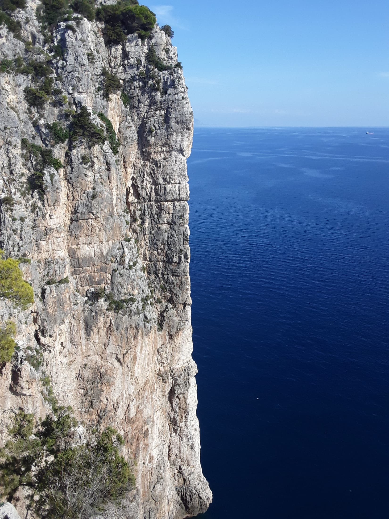
The showpiece of the Montagna Spaccata: four steep, exposed pitches up a knife-edge spur that drops straight into the sea, reached by abseil. Sustained around 6a+ on good holds, with an overhang at 6b to finish.
6b4 pitches120 m
Read the cautionsCommitting
Slovenia · Vršič Pass (Julian Alps)
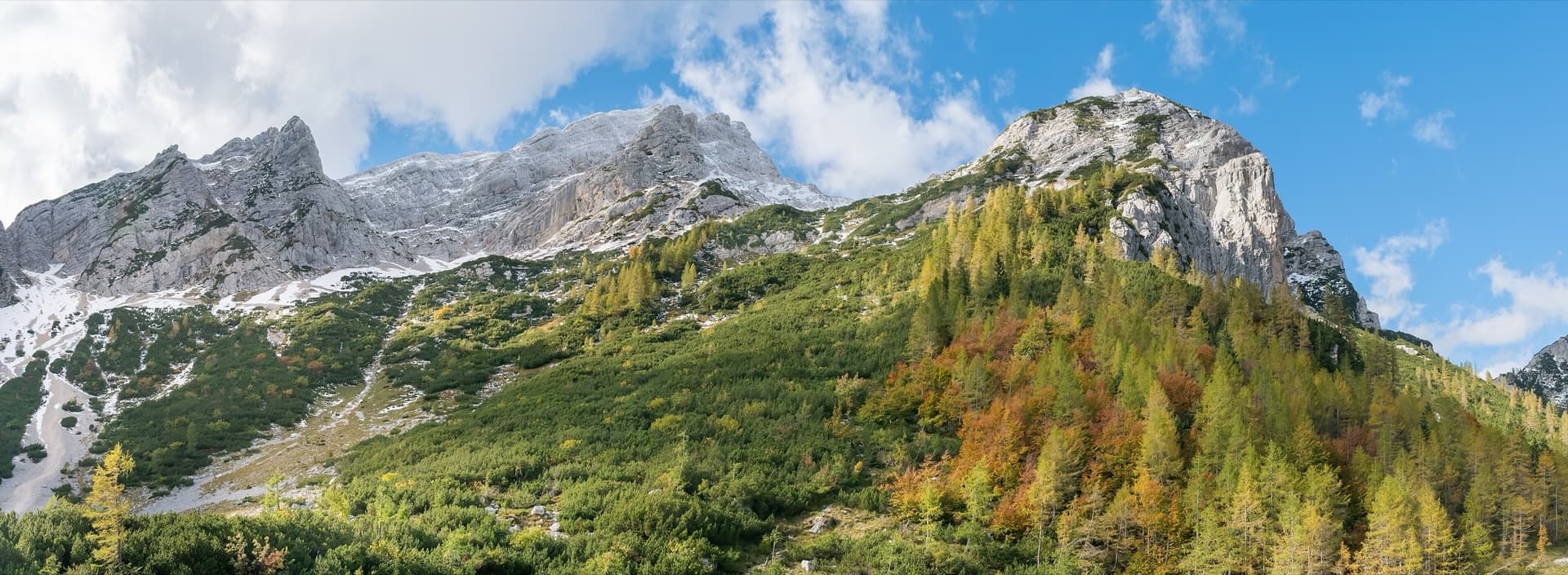
A compact modern sport multipitch by Tomo and Dragica Česen, front-loaded with its longest and hardest pitch. It is close to the road and good for a half-day.
6b4 pitches90 m
Greece · Kalymnos & Telendos
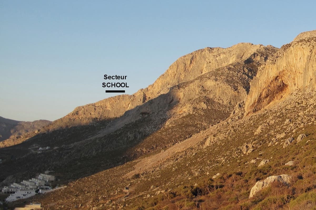
A short gem with slabs, crimps, water-drop pockets, a bulge and a traverse on superb rock, with the usual big Kalymnos view. It is the most popular guided 6a multi-pitch on the island.
6b4 pitches120 m
Read the cautions
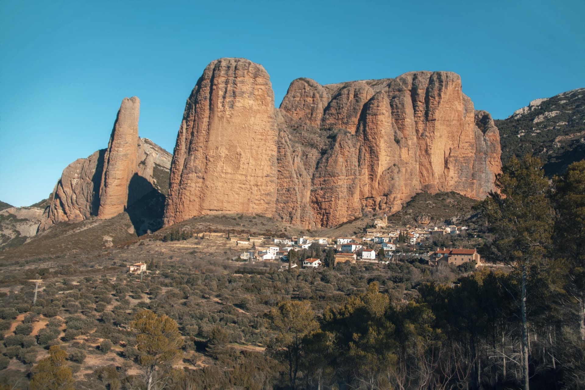
Spain · Riglos & Agüero (Mallos)
Four 35 m pitches starting 3 m left of the Espolón del Adamelo and finishing at the same belay. Harder and more sustained than its neighbour.
6b4 pitches140 m
Read the cautions
Compiled from published sources and last verified October 2026. Bolts, anchors and access change. Climbing is dangerous and you are responsible for your own decisions: check a current topo and read the disclaimer.